No products
Categories
-
Antique Maps and Views
- Africa
-
America
- America (continent)
- Antilles (West Indies)
- Argentina
- Bermuda
- Brazil
- Canada
- Central America and Antilles (West Indies)
- Chile
- Columbia
- Florida
- Guyana
- Hawaiian Islands
- Honduras
- Louisiana
- Mexico
- New York
- North America
- Panama
- Paraguay
- Peru
- South America
- Straits of Magellan
- United states (USA)
- Venezuela
- Virginia
- Asia and Australia
- Atlasy
-
Europe
- Austria
-
Belgium, the Netherlands, Luxembourg
- Amsterdam
- Antwerp
- Belgium and Luxembourg
- Bergen op Zoom
- Blokzijl
- Bommenede
- Brabant
- Brugge
- Brussels
- Charleroi
- Courtrai
- Delft
- Dinant
- Dordrecht
- Elburg
- Flandres
- Fort Rammekens
- Friesland
- Friesland and Groningen
- Gelderland
- Geraardsbergen
- Grave
- Groningen
- Hainaut
- Harderwijk
- Harlingen
- Holland
- Hulst
- Huy
- Liege
- Lier
- Limbourg
- Limburg
- Louvain
- Luxemburg
- Maastricht
- Mechelen
- Middelburg
- Mons
- Namur
- Netherlands
- Netherlands and Belgium
- Nijmegen
- Ostend
- Overijssel
- Rotterdam
- Spa
- Stavoren
- The Hague
- Tiel
- Utrecht
- Veere
- Veurne
- Ypres
- Zaltbommel
- Zeeland
- Zieriksee
- Zierikzee
- Zutphen
- Zype
-
Bohemia, Moravia and Silesia
- Beroun
- Bohemia
- Bohemia, Moravia and Silesia
- Brandýs nad Labem
- Branná (okr. Šumperk)
- Brno
- Brodce (okr. Mladá Boleslav)
- Broumov
- Carlsbad
- Čáslav
- Čelákovice
- Cheb
- Chlumec nad Cidlinou
- Chomutov
- Děčín
- Dolní Olešnice - Nové Zámky
- Dvůr Králové nad Labem
- Františkovy Lázně
- Frýdlant
- Hasištejn
- Házmburk
- Hostinné
- Hradec Králové
- Hřensko
- Jáchymov
- Jaroměř
- Jihlava
- Jindřichův Hradec
- Jižní Čechy
- Kamýk u Litoměřic
- Karlštejn
- Kolín
- Konopiště
- Kostelec nad Labem
- Křivoklát
- Krkonoše
- Krupka
- Kunětická Hora
- Kutna Hora
- Kyšperk
- Lednice
- Liberec
- Libochovany
- Lipnice nad Sázavou
- Litoměřice
- Litoměřicko
- Litomyšl
- Loket
- Louny
- Lovosice
- Lysá nad Labem
- Mariánské Lázně
- Mělník
- Mladá Boleslav
- Mladoboleslavsko
- Moravia
- Most
- Náchod
- Nymburk
- Okoř
- Olomouc
- Ostrov nad Ohří
- Pardubice
- Plzeň
- Poděbrady
- Polná
- Prácheňsko
- Prague
- Přelouč
- Přerovsko
- Rabí
- Rakovnicko
- Rakovník
- Roudnice nad Labem
- Rožmberk
- Rožnov pod Radhoštěm
- Rychmburk
- Sedlec
- Slaný
- Smečno
- Smiřice
- Štětí
- Šumava
- Švamberk (Krasíkov)
- Tábor
- Tepl
- Teplice
- Terezín
- Třeboň
- Týnec nad Labem
- Uničov
- Valdštejn
- Vinec
- Vrabinec
- Vrchlabí
- Vyšší Brod
- Zákupy
- Žampach (zámek)
- Želiv
- Žireč
- Žleby
- Znojmo
- Zvíkov
- Central Europe
- Danube
- Eastern and Southeastern Europe, Balkan
- Europe (continent)
-
France
- Albi
- Anjou
- Artois
- Bar-le-Duc
- Berry
- Blois
- Bourbourg
- Bourgogne-Franche-Comté
- Bresse
- Cambrai
- Cassel
- Château de Lichtenberg
- Chaumont
- Compiegne and Noyon
- Corsica
- Dauphiné
- Elsass
- Gascogne
- Gâstinais and Senonais
- Gravelines
- Hauts-de-France
- Ile de France
- La Bassée - Hesdin
- Languedoc
- Lille
- Limoges
- Lorraine
- Lyon
- Maine
- Marseille
- Metz
- Montmélian
- Mulhouse
- Nancy
- Nice
- Normandie
- Paris
- Perche
- Picardy
- Poitou
- Provence
- Re and Oleron
- Reims - Rethel
- Saint-Omer
- Saintonge and Aunis
- Savoy
- Strasbourg
- Tarn (department)
- Vexin
- Germany
-
Great Britain and Ireland
- Bedford and Buckinghamshire
- Berkshire and Hampshire
- Cambridgeshire
- Cornwall
- Cumberland
- Denbigh and Flint
- Derbyshire
- Devon
- Dorset
- Durham (County)
- England
- Essex
- Gloucestershire
- Great Britain and Ireland
- Herefordshire
- Hertfordshire
- Hertfordshire and Middlesex
- Huntingdonshire
- Ireland
- Isle of Wight
- Kent
- Leicestershire
- Lincolnshire
- London
- Middlesex
- Norfolk
- Northampton
- Northeastern England
- Northern England
- Northumberland
- Northwestern England
- Nottinghamshire
- Oxfordshire
- Scotland
- Shropshire and Staffordshire
- Somerset
- Southeastern England
- Southwestern England
- Staffordshire
- Surrey
- Sussex
- Wales
- Westmorland
- Wiltshire
- Worcestershire and Warwickshire
- Yorkshire
- Greece, Mediterranean Sea
-
Italy
- Abruzzo
- Ancona
- Apulia (Puglia)
- Arcevia
- Bari and Basilicata
- Bergamo
- Bologna
- Brescia
- Brescia and Crema
- Cadore
- Cagliari
- Caiazzo
- Calabria
- Campania
- Capitanata
- Carmagnola
- Catania
- Central Italy
- Civitavecchia
- Crema
- Cremona
- Cuneo
- Elba
- Emilia Romagna
- Faenza
- Fano
- Ferrara
- Florence
- Fondi
- Friuli
- Gaeta
- Gallipoli
- Genoa
- Ischia
- Italy
- Lazio
- Lerici
- Liguria (Italian Riviera)
- Livorno
- Lombardia
- Loreto
- Lucca
- Mantua
- Mantua
- Marche (Ancona)
- Merano
- Messina
- Milan
- Mirandola
- Modena
- Molise
- Monferrato
- Naples
- Netuno
- Nocera Umbra
- Northern Italy
- Orvieto
- Orvieto and Loreto
- Otranto
- Padua
- Palermo
- Parma
- Pavia
- Perugia
- Pesaro
- Piacenza
- Piedmont
- Pinerolo
- Piombino
- Pisa
- Po
- Pozzuoli
- Reggio di Calabria
- Reggio Emilia
- Rimini
- Rome
- Rovigo
- San Marino
- Sardinia
- Sicily
- Sicily and Malta
- Sicily and Sardinia
- Siena
- Southern Italy
- Spoleto
- Sulmona
- Taranto
- Terracina
- Tivoli
- Torino
- Tortona
- Trapani
- Trentino-Alto Adige / Südtirol
- Trento
- Treviso
- Tuscany
- Tyrol
- Udine
- Umbria
- Urbino
- Velletri
- Venice
- Vercelli
- Verona
- Vicenza
- Viterbo
- Labe
- Mediterranean Sea
- Monaco
- Poland, Silesia, Russia and the Baltic republics
- Rhine
- Scandinavia and Iceland
- Spain and Portugal
- Switzerland
- Islands (Special Catalogue)
- World, Oceans, Poles and Celestial Maps
-
Books
- 17., 18. a 19. století - Bohemika, Moravika, České národní obrození
- 17th, 18th and 19th cent. - literature, illustrated etc. - foreign
- 20th cent. - literature, poetry, bibliophile books, illustrated etc. - foreign
- 20th cent. - literature, poetry, illustrated, bibliophile books, bookbindings etc. - Czech
- Children, youth and adventure books
- Fine arts & Architecture
- History and Law
- History of Culture, Varia
- Nature & Natural Sciences
- Old prints (15th and 16th century)
- Philosophy, Theology, Pedagogy, Economy, Sociology
- Topography, Travel and Geography
-
Drawings and Prints
- Antique engravings, drawings and decorative prints
-
Czech Art of 20th century (graphics, bookplates, drawings)
- Bouda, Cyril (1901-1984)
- Fischerová-Kvěchová, Marie (1892-1984)
- Hodek, Josef mladší (1888-1973)
- Holler, Josef (1903-1982)
- Jiřincová, Ludmila (1912-1994)
- Konůpek, Jan (1883-1950)
- Lhoták, Kamil (1912-1990)
- Obrátil, Karel Jaroslav
- Rambousek, Jan (1895-1976)
- Seydl, Zdenek (1916-1978)
- Stretti, Viktor (1878-1957)
- Švabinský, Max (1873-1962)
- Váchal, Josef (1884-1969)
- Vondrouš, Jan Charles (1884-1970)
- Devotional pictures, greeting cards etc.
- European modern art (graphics, bookplates, drawings)
- Japanese woodblocks
- Old-masters graphics
- Varia
List of works by author Homann Heirs
-
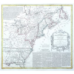
Homann Heirs America septentrionalisCatalog No.: 15342
North America."America Septentrionalis a Domino d'Anville in Galliis edita nunc in Anglia Coloniis in Interiorem Virginiam deductis nec non Fluvii Ohio cursu ...". Orig. copper-engraving after d'Anville's map. Published in Nuremberg by Homann...
15 000,00 KčFor sale -
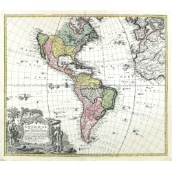
Homann Heirs Americae Mappa generalisCatalog No.: 23659
America. "Americae Mappa generalis". Orig. copper-engraving after A. G. Boehm drawing. Published by Homann Heirs in Nuremberg, 1746. Orig. old colouring. With great figure title cartouche. 47:54,5 cm (18 1/2 x 21 1/2 inch.).
15 000,00 KčFor sale -
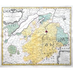
Homann Heirs (author) Walser, Gabriel (other authors) Canton FreiburgCatalog No.: 03754
Canton of Fribourg. "Canton Freiburg sive pagus Helvetiae Friburgensis". Orig. copperplate engraving after G. Walser's map of the region. Published by Homann Heirs in Nuremberg, 1767. Original old colouring. 47:57 cm.
6 500,00 KčFor sale -
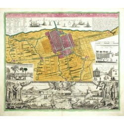
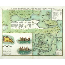
Homann Heirs Der Hollaendisch - Ostindianischen...Catalog No.: 26186
Jakarta. "Der Hollaendisch - Ostindianischen Compagnie Weltberühmte ... Stadt Batavia, in Asien auf dem grossen Eyland Iava in dem Königreich Iacarta ... gelegen". Orig. copperplate engraving, Homann Heirs, Nuremberg, 1733. 47,5:55,5 cm.
28 000,00 KčFor sale -
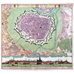
Homann Heirs Die Kays. Residentz- u. Haubt- Stadt Wien...Catalog No.: 23043
Vienna. "Die Kays. Residentz- u. Haubt- Stadt Wien ... Plan u. Prospect". Orig. old coloured copper-engraving, Homann Heirs, ca. 1735. A panoramatic view of Vienna with explanatory notes (14:56 cm) and a fotification plan of the city with Ger. title and...
12 000,00 KčFor sale -
Homann Heirs Die Kays. Residentz- u. Haubt- Stadt Wien...Catalog No.: 12381
Vienna. "Die Kays. Residentz- u. Haubt- Stadt Wien ... Plan u. Prospect". Orig. old coloured copper-engraving, Homann Heirs, ca. 1735. A panoramatic view of Vienna with explanatory notes (14:56 cm) and a fotification plan of the city with Ger. title and...
10 000,00 KčFor sale -
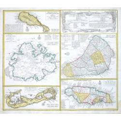
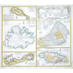
Homann Heirs Dominia Anglorum in praecipuis Insulis...Catalog No.: 17628
Antilles and Bermuda."Dominia Anglorum in praecipuis Insulis Americae ... - Die Englische Colonie-Laender Auf den Isuln von America". Orig. copper-engraving published by Homann's Heirs, ca. 1750. Four maps of the islands of West Indies (St....
12 000,00 KčFor sale -
Homann Heirs Dominia Anglorum in praecipuis Insulis...Catalog No.: 06171
"Dominia Anglorum in praecipuis Insulis Americae ... - Die Englische Colonie-Laender Auf den Isuln von America". Orig. copper-engraving published by Homann Heirs, ca. 1750. Four maps of the islands of West Indies (St. Christoph "Delineatio...
12 000,00 KčFor sale -
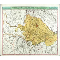
Homann Heirs Ducatus Mantuani, ceu Sedis belli 1733-35...Catalog No.: 02130
Mantua. "Ducatus Mantuani ... recentissima Delineatio". Orig. copperplate engraving, Homann's Heirs, 1735. With title bar above the map. 49,5:57,5 cm.
4 500,00 KčFor sale -
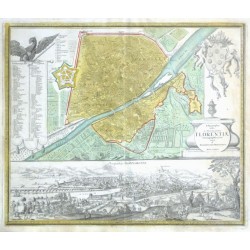
Homann Heirs Ichnographia Urbis in Tuscia primariae...Catalog No.: 12462
"Ichnographia Urbis in Tuscia primariae Florentiae". Orig. copper-engraving. Published by Homann Heirs in Nürnberg, 1731. Orig. old colouring. With ornamental title-cartouche, decorative cartouche with explanatory notes ("Erklaerung der...
25 000,00 KčFor sale -
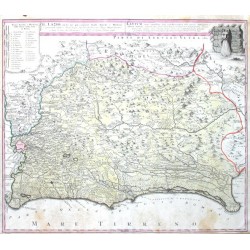
Homann Heirs Il Lazio, con Strade Antiche e ModerneCatalog No.: 15579
"Il Lazio, con ... Strade Antiche e Moderne ... Latium cum ... viis ... Antiqvum & novum Statum". Orig. copper-engraving. Published in Nuremberg by Homann Heirs, 1745. Orig. old colouring. With It.-Lat. title-cartouche and a cartouche with the...
6 500,00 KčFor sale -
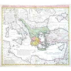
Homann Heirs Imperii Turcici Europaei Terra, in primis...Catalog No.: 02262
Greece, Mediterranean. "Imperii Turcici Europaei Terra, in primis Graecia cum confiniis". Orig. copperplate engraving after J. Ch. Harenberg map of the region. Published by Homann Heirs, 1767. Orig. old colouring. 51:57 cm.
6 200,00 KčFor sale -
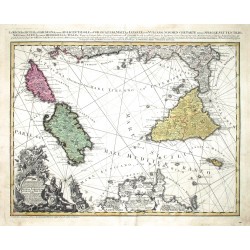
Homann Heirs (author) Rizzi Zannoni, Giovanni Antonio (other authors) Li Regni di Sicilia, e Sardegna, colle...Catalog No.: 04458
Malta, Sicily, Elba, Corsica and Sardinia. "Li Regni di Sicilia, e Sardegna, colle Adiacenti Isole di Corsica, Elba, Malta, e Liparee ...". Orig. copperplate engraving, Homann heirs, 1762. 47:57 cm.
13 500,00 KčFor sale -
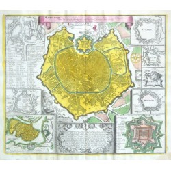
Homann Heirs Mayland, die Haupt - Stadt des...Catalog No.: 12477
"Mayland, die Haupt - Stadt des Herzogthumbs gleiches Nahmens, nebst beygefügten Plans der übrigen fürnehmsten Mayländischen Vestungen". Orig. copper-engraving. Published in Nuremberg by Homann Heirs, 1734. Orig. old colouring. With...
21 000,00 KčFor sale -
Homann Heirs Plan der fürnehmsten Finnischen VestungenCatalog No.: 11601
Finland. "Plan der fürnehmsten Finnischen Vestungen aus Russischen u. Schwedischen Urkunden hergenommen". Orig. copperplate engraving. Published in Nuremberg by Homann Heirs, 1750. Orig. old colouring. 44:56 cm
12 500,00 KčFor sale -
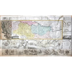
Homann Heirs Regnum Bosniae ... Regni Serviae ...Catalog No.: 23051
Bosnia, Serbia. "Regnum Bosniae, una cum finitimis Croatiae, Dalmatiae ... Regni Serviae ...". Orig. copper-egraving, Homann Heirs, 1739. Orig. old colouring. With title at the top. The map is surrounded by 25 city plans/views. With map overlap on the left. Printed from 5 plates, joined. 60:110 cm.
20 000,00 KčFor sale -
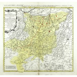
Homann Heirs Status Mutinensis in suas ditiones utpote...Catalog No.: 02133
Modena. "Status Mutinensis in suas ditiones utpote Ducatum Mutinensem, Reginensem. Mirandulanum, Princiratum Carpiensem et Corregiensem ... Tabula". Orig. copperplate engraving, Homann's Heirs, ca. 1740. 48:50 cm.
6 800,00 KčFor sale -
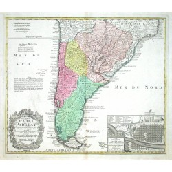
Homann Heirs Typus geographicus Chili a Paraguay, freti...Catalog No.: 00729
South America. "Typus geographicus Chili a Paraguay, freti Magellanici & c.". Orig. copper-engraving published by Homann Heirs, 1733 after G. de l'Isle map of the region. 48,5:57 cm.
8 700,00 KčFor sale -
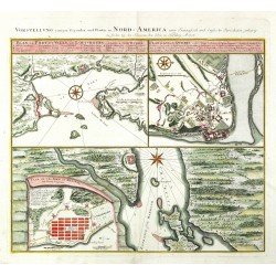
Homann Heirs Vorstellung einiger gegenden und Plaetze...Catalog No.: 23670
Canada. "Vorstellung einiger gegenden und Plaetze in Nord-America unter Francoesisch und Englische Iurisdiction gehoerig". Orig. copperplate engraving, Homann Heirs, 1756. With German ttle above the map. 45:51,5 cm (17 3/4 x 20 1/4 inch.).
14 200,00 KčFor sale -
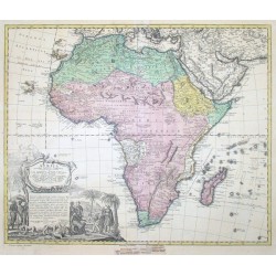
Homann Heirs AFRICA Secundum legitimas projectionis...Catalog No.: 00355
Africa."Africa Secundum legitimas projectionis Stereographicae regulas". Copper-engraving by J. M. Haas published by Homann's Heirs ca. 1740. Original old colouring. With beautiful figure title-cartouche. 47,5:57 cm (18 3/4 x 22 1/2 inch.).
-
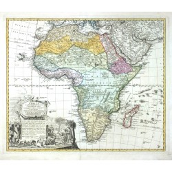
Homann Heirs Africa Secundum legitimas Projectionis...Catalog No.: 24138
Africa. "Africa Secundum legitimas Projectionis Stereographicae regulas". Orig. copperplate engraving after J. M. Haas map of Africa. Published by Homann Heirs in Nuremberg, ca. 1740. Original old colouring. 47,5:57 cm (18 3/4 x 22 1/2 inch.).
-
Homann Heirs Americae mappa genaralis.Catalog No.: 00033
America."Americae mappa genaralis". Orig. copper-engraving after J. M. Haas' map. Engraved by A. G. Boehm. Published by Homann Heirs in Nuremberg, 1746. With figure title-cartouche. 49:58 cm.
-
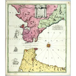
Homann Heirs Carte nouvelle de L'Isle de Cadix & du...Catalog No.: 11337
Gibraltar, Cádiz, Ceuta. "Carte nouvelle de L'Isle de Cadix & du Detroit de Gibraltar". Orig. copperplate engraving by R. A. Schneider after J. de Petit's map. Issued by J. F. Weidler. Published by Homann's Heirs, 1756. 57:48,5 cm.
-
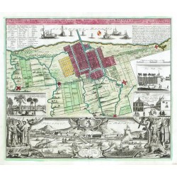
Homann Heirs Der Hollaendisch - Ostindianischen...Catalog No.: 12459
Jakarta. "Der Hollaendisch - Ostindianischen Compagnie Weltberühmte Haupt - Handels und Niederlags - Stadt Batavia, in Asien auf dem grossen Eyland Iava in dem Königreich Iacarta ... gelegen". Orig. copper-engraving. Published by Homann Heirs in...
-
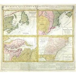
Homann Heirs Dominia Anglorum in America...Catalog No.: 00050
US East coast. "Dominia Anglorum in America Septentrionali. Die Gros-Britannische Colonie-Laender in Nord-America". 4 maps printed from one plate. Orig. copperplate engraving, Homann Heirs, Nuremberg, ca. 1740. 50:55 cm (19 3/4 x 21 3/4 inch.).
-
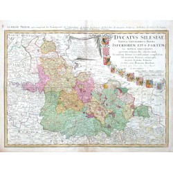
Homann Heirs Dvcatvs SilesiaeCatalog No.: 11421
"Ducatus Silesiae Tabula Geographica Prima, Inferiorem eius partem, seu novem principatus ... delineata". Orig. copper-engraving. Published in Nuremberg by Homann Heirs, 1755. Orig. old colouring. With decorative title-cartouche with 9...
-
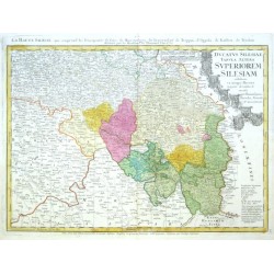
Homann Heirs Dvcatvs Silesiae Tabvla AlteraCatalog No.: 11424
"Ducatus Silesiae Tabula Altera Superiorem Silesiam exhibens ex mappa Hasiana majore desumta & excusa". Orig. copper-engraving. Published in Nuremberg by Homann Heirs, 1756. Orig. old colouring. With decorative title-cartouche with 8...
-
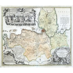
Homann Heirs Ingermanlandiae seu Ingriae novissima...Catalog No.: 02734
"Ingermanlandiae seu Ingriae novissima tabula luci tradita". Copper-engraving published by Homann's Heirs, 1734. Original old colouring. With small panoramatic view of the city holded by three angels (ca. 11:23 cm) and with two figure and...
-
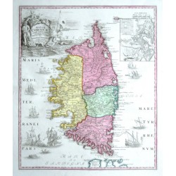
Homann Heirs Insvlae Corsicae olim Cyrnvs dictaeCatalog No.: 11307
"Insulae Corsicae olim Cyrnus dictae novissima facies". Orig. copper-engraving. Published by Homann Heirs in Nuremberg, 1732. Orig. old colouring. With figure title-cartouche, an inset plan of Bastia and many ships. 51,5:43,5 cm (20 1/4 x 17 1/4...
-
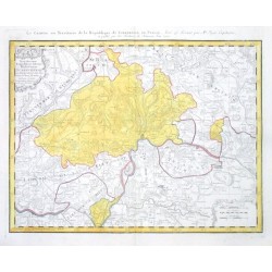
Homann Heirs Le Canton ou Territoire de la Republique...Catalog No.: 02274
"Le Canton ou Territoire de la Republique de Schafhouse en Suisse". Orig. copper-engraving published by Homann Heirs, 1768. After Mr. Peier's map. Original contemporary colouring. With heading-title and ornamental cartouche. 45:56 cm.
-
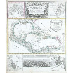
Homann Heirs Mappa geographica complectens I. India...Catalog No.: 00725
Central America and Antilles (West Indies)."Mappa geographica complectens I. India Occidentalis ...". Original colored copper-engraving. Published by Homann's heirs, ca. 1740. Central America, the Antilles, the Bahamas and south coast of North...
-
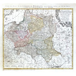
Homann Heirs Mappa Geographica Regni PoloniaeCatalog No.: 22866
Poland, Lithuania nad Belarus. "Mappa Geographica Regni Poloniae". Orig. copper-engraving after T. Mayer's map of the region. Published by Homann Heirs in Nuremberg, 1773. With ornamental title cartouche and French title above the map ("Carte des Etats ... de Pologne"). Orig. old colouring. 47:51 cm.
-
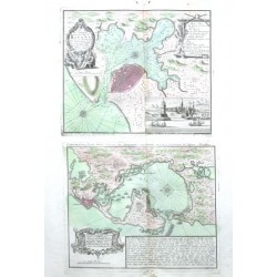
Homann Heirs Neu und verbesserter Plan der St. u....Catalog No.: 11379
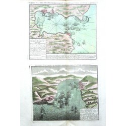
Havana and Cartagena."Neu und verbesserter Plan der St. u. Hafens Havana auf der Ins. Cuba ... - Neu und verbesseret Plan des Hafens von Carthagena". Orig. copper-engravings. Published by Homann Heirs in Nuremberg, ca. 1760. Orig. old colouring....
-
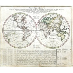
Homann Heirs Neue Welt-KarteCatalog No.: 20484
The World."Neue Welt-Karte welche auf zwoo Kugelflaechen die Haupt-Theile der Erde, Inseln, Insel-Gruppen, Theile des Welt-Meers und deren Benennungen, den fünften Welt-theil und neuesten Entdekkungen, nach den Karten und Reise-beschreibungen...
-
Homann Heirs Peninsula Indiae Malabar & Coromandel...Catalog No.: 02565
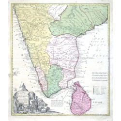
India."Peninsula Indiae citra Gangem, hoc est Orae celeberrimae Malabar & Coromandel cum adiacente Insula ... Ceylon". Copper-engraving by Homann Heirs. Published 1733. Original old colouring. With great figural cartouche. 55:48,5 cm.
-
Homann Heirs Plan de la Ville et du Port Mahon et du...Catalog No.: 11340
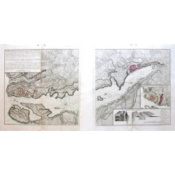
Mahon."Plan de la Ville et du Port Mahon et du Fort St. Philippe. Plan der Stadt un des Hafens Mahon und des Forts St. Philippe". Orig. copper-engraving. Published in Nuremberg by Homann Heirs, 1756. Coloured in outline. With title-cartouche with...
-
Homann Heirs Portus Pulchri in Isthmo PanamensiCatalog No.: 11382
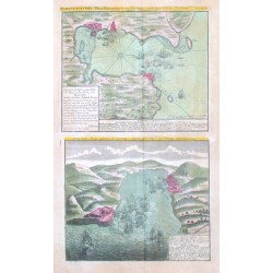
Portobelo."Portus Pulchri in Isthmo Panamensi. Scenographia Portus pulchri". Orig. copper-engravings. Published by Homann Heirs in Nuremberg, ca. 1750. Orig. old colouring. The birds-eye-view/plan of Portobelo with title above the map, a...
-
Homann Heirs Portus Pulchri in Isthmo PanamensiCatalog No.: 02280
Panama."Portus Pulchri in Isthmo Panamensi". Copper-engraving published by Homann's Heirs, 1740. Original contemporary colouring. With 2 heading-titles and explanations. Two maps on one sheet. 49:29 cm (19 1/4 x 11 1/2 inch.).
-
Homann Heirs Principatus Silesiae BregensisCatalog No.: 23669
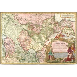
Brzeg County. "Principatus Silesiae Bregensis". Orig. copperplate engraving after M. Schubart's map of the region. Published by Homann Heirs in Nuremberg, 1736. Coloured. With great figure title cartouche with a coat of arms and an ornamental cartouche with the scale of map. 56:83 cm.
-
Homann Heirs Rhinoceros - Abbildliche Geschichte der...Catalog No.: 24366
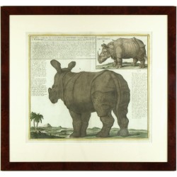
Rhinoceros. "Abbildliche Geschichte der ... Landthiere ... das Nashorn". Orig. copperplate engraving, Homann Heirs, 1747. Orig. old colouring. With explnatory notes and a famous depiction of Dürer's rhinoceros ('Rhinocerus') z roku 1515 vpravo nahoře. 47,5:55 cm.
-
Homann Heirs Tabula Americae specialis geographica...Catalog No.: 00140
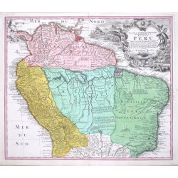
South America."Tabula Americae specialis geographica Regni Peru, Brasiliae, Terrae Firmae & Reg: Amazonum ...". Copper-engraving published by Homann's heirs, ca. 1740. Original old colouring. With ornamental title-cartouche. 48:56 cm (19x22 inch.).
-
Homann Heirs Tabula comitatus HollandiaeCatalog No.: 02737
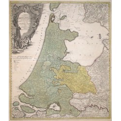
"Tabula comitatus Hollandiae". Orig. copper-engraving published by Homann Heirs, 1733. Original old colouring. With great figure and heraldic cartouche. 57,5:49 cm (22.6:19.3").

