No products
Antilles (West Indies)
Antilles (West Indies) There are 17 items.
Subcategories
-
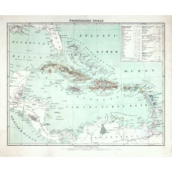
Flemming, Carl Westindische InselnCatalog No.: 25705
Carribean. "Westindische Inseln". Orig. lithography, C. Flemming, Glogau, ca. 1845. Orig. old colouring. With litho. title above the map and a cartouche with explanatory notes. 30:38,5 cm (the map).
1 050,00 KčFor sale -
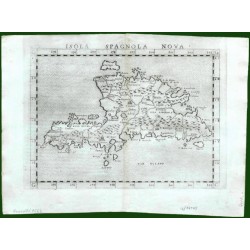
Ruscelli, Girolamo Isola Spagnola NovaCatalog No.: 17643
Hispaniola (Haiti/Dominican Republic) and Martinique. "Isola Spagnola Nova". Orig. copper-engraving from G. Ruscelli's edition of Ptolemy's Geography. Published in Venice by G. Ziletti, 1562. With title above the map. 18,5:24,5 cm (7 1/4 x 9 3/4...
4 000,00 KčFor sale -
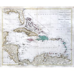
Walch, Johann Tabula ... Americae Mediae ... Karte des...Catalog No.: 22816
West Indies. "Tabula geographica ... Americae Mediae sive Indiae Occidentalis. Karte des ... Theils von Mittel-America oder Westindien". Orig. copper-engraving by Joh. Walch, Augsburg, 1798. Orig. old colouring. With Lat.-Ger. title-cartouche. 50:59,5 cm (19 3/4 x 23 1/2 inch.).
14 500,00 KčFor sale -
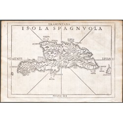
Ramusio, Giovanni Baptista Isola SpagnvolaCatalog No.: 20313
Hispaniola."Isola Spagnuola". Orig. woodblock from the 3rd volume of Giov. Batt. Ramusio's 'Delle Navigationi et Viagi' - 'Nel Quale Si Contengono Le Nauigationi al Mondo Nuouo, alli Antichi incognito, fatte da Don Christoforo Colombo Genouese,...
15 000,00 KčFor sale -
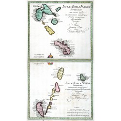
Weigel, Christoph der Ältere Isulae Antillae Francicae Superiores ......Catalog No.: 16593
Lesser Antilles. "Isulae Antillae Francicae Superiores ... Inferiores ...". Orig. copperplate engravings, Ch. Weigel, Nuremberg, 1718. Orig. old colouring. Two plates, each ca. 33:36 cm.
10 500,00 KčFor sale -
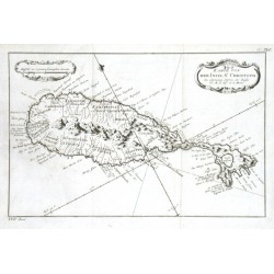
Bellin, Jacques Nicolas Karte von der Inset St. ChristophCatalog No.: 11712
"Karte von der Inset St. Christoph". Orig. copper-engraving, J. N. Bellin. Published in Leipzig, ca. 1760. With decorative title-cartouche and another cartouche with the scale of map. 19,5:30,5 cm (7 3/4 x 12 inch.).
1 500,00 KčFor sale -
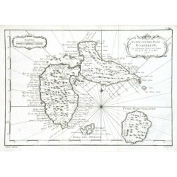
Bellin, Jacques Nicolas Karte von der Insel GuadelupeCatalog No.: 11703
"Karte von der Insel Guadelupe". Orig. copper-engraving, J. N. Bellin, dated 1758. Published in Leipzig, ca. 1760. With ornamental title-cartouche and another ornamental cartouche with the scale of map. 21:30,5 cm (8 1/4 x 12 inch.).
1 500,00 KčFor sale -
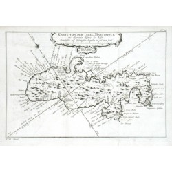
Bellin, Jacques Nicolas Karte von der Insel MartiniqueCatalog No.: 11667
"Karte von der Insel Martinique". Orig. copper-engraving, J. N. Bellin, dated 1758. Published in Leipzig, ca. 1760. With decorative title cartouche. 20:30 cm (8 x 11 3/4 inch.).
2 500,00 KčFor sale -
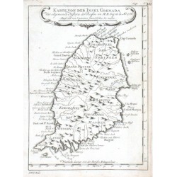
Bellin, Jacques Nicolas Karte von der Insel GrenadaCatalog No.: 11655
"Karte von der Insel Grenada". Orig. copper-engraving, J. N. Bellin. Published in Leipzig, ca. 1760. With decorative title cartouche. 21:15,5 cm (8 1/4 x 6 1/4 inch.).
1 200,00 KčFor sale -
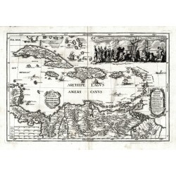
Scherer, Heinrich Archipelagi Americani delineatio geographicaCatalog No.: 07971
Antilles. "Archipelagi Americani delineatio geographica". Orig. copperplate engraving from H. Scherer's "Atlas novus", published in Munich, 1703. With ornamental title cartouche. 23:34 cm.
7 500,00 KčFor sale -
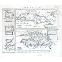
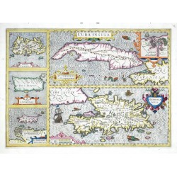
Mercator, Gerardus Cvba Insvla, Hispaniola InsulaCatalog No.: 07956
Antilles."Cuba Insula", "Hispaniola Insula". Orig. copper-engraving after G. Mercator's maps of the region. Published in Amsterdam by J. Janssonius, 1648-51. With 5 decorative cartouches. Two main maps (the map of Cuba with small inset map of...
4 500,00 KčFor sale -
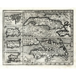
Mercator, Gerardus Cuba Insula - Hispaniola - Havana PortusCatalog No.: 07953
Antilles (West Indies). "Cuba Insula"; "Hispaniola". Orig. copperplate engraving from Mercator's Atlas Minor. Published by J. Hondius in Amsterdam, 1609. Two main maps and 4 inset charts to the left: "Havana Portus"; "Iamaica"; "I. S. Ioannis"; "I. Margareta". 14,5:18,5 cm.
5 000,00 KčFor sale -
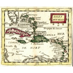
Duval, Pierre Isles AntillesCatalog No.: 06447
Antilles and Bahamas (Caribbean). "Isles Antilles". Orig. copperplate engraving, P. Duval, Paris, 1670. Original old colouring. With decorative title-cartouche. 10:12,5 cm.
2 500,00 KčFor sale -
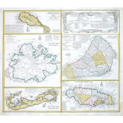
Homann Heirs Dominia Anglorum in praecipuis Insulis...Catalog No.: 06171
"Dominia Anglorum in praecipuis Insulis Americae ... - Die Englische Colonie-Laender Auf den Isuln von America". Orig. copper-engraving published by Homann Heirs, ca. 1750. Four maps of the islands of West Indies (St. Christoph "Delineatio...
12 000,00 KčFor sale -
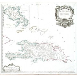
Vaugondy, Robert de Isles de Saint Dominigue ou Hispaniola et...Catalog No.: 06165
"Isles de Saint Dominigue ou Hispaniola et de la Martinique". Orig. copper-engraving published by R. de Vaugondy, 1750. Original old colouring. With great ornamental title-cartouche, another cartouche with the scale of map ("Echelles") and inset...
6 500,00 KčFor sale -
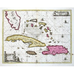
Janssonius, Johannes Insularum Hispaniolae et Cubae delineatioCatalog No.: 00113
Antilles (West Indies - the Carribean). "Insularum Hispaniolae et Cubae Cum Insulis circum jacentibus accurata delineatio". Orig. copper-engravig, J. Janssonius. Original old colouring. Published by G. Valk & P. Schenk in Amsterdam, ca. 1690. With figure title-cartouche,...
30 000,00 KčFor sale -
Hondius, Jodocus Cuba Insula - Hispaniola Insula - Insula...Catalog No.: 00098
Antilles (West Indies). "Cuba Insula. Hispaniola Insula. Insula Iamaica. Ins. S. Ioannis. I. S. Margareta". Orig. copper-engraving, J. Hondius, 1606. Coloured. 36:50 cm.
16 000,00 KčFor sale

