No products
Mecklenburg-Vorpommern/Pommern There are 18 items.
Subcategories
-
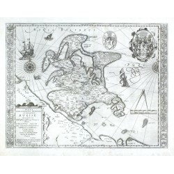
Mercator, Gerardus Nova Famigerabilis Insulae ac Ducatus...Catalog No.: 24021
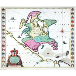
Rügen. "Nova Famigerabilis Insulae ac Ducatus Rugiae Descriptio". Orig. copper-engraving, 1609, after E. Lubin's map of the region. From Mercator-Hondius Atlas, Amsterdam, 1630. With ornamental title-cartouche, 2 graet coats of arms, ships, sea-creatures and 30 coats of arms by the sides. 38:48,5 cm.
6 500,00 KčFor sale -
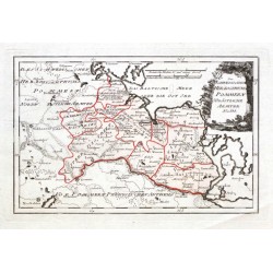
Reilly, Franz Johann Joseph von Des Schwedischen Herzogthums Pommern...Catalog No.: 21299
"Des Schwedischen Herzogthums Pommern Südöstliche Aemter Nro. 331.". Altkol. Kupferstichkarte von F. J. J. von Reilly, Wien, 1789.
2 100,00 KčFor sale -
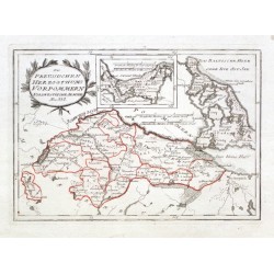
Reilly, Franz Johann Joseph von Des Preussischen Herzothums Vorpommern...Catalog No.: 21298
"Des Preussischen Herzothums Vorpommern Nordwestliche Aemter Nro. 332.". Altkol. Kupferstichkarte von F. J. J. von Reilly, Wien, 1789.
2 500,00 KčFor sale -
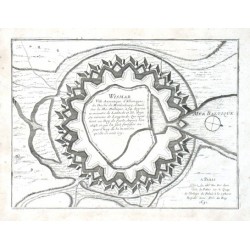
de Fer, Nicolas WismarCatalog No.: 13728
"Wismar Ville Anseatique d'Allemagne, ... Situee Sur la Mer Baltique". Orig. copper-engraving. Published in Paris by N. de Fer, 1691. With title and publisher's address. 19:25,5 cm (7 1/2 x 10 inch.).
1 400,00 KčFor sale -
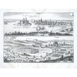
Merian, Matthäus WollgastCatalog No.: 10965
"Wollgast". Orig. copper-engraving from M. Merian's Theatrum Europeanum, 1633. 2 views of the city printed from 1 plate. With a coat-of-arms and many figures. 23:32 cm (9 x 12 1/2 inch.).
2 400,00 KčFor sale -
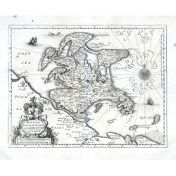
Merian, Matthäus Rugia Insvla ac Dvcatvs accuratissime...Catalog No.: 10959
"Rugia Insula ac Ducatus accuratissime descripta". Orig. copper-engraving from M. Merian's Theatrum Europeanum, ca. 1665. With ornamental title-cartouche with a coat-of-arms and the scale of map, 2 ships, a sea-creature and a windrose. 22:25,5 cm...
3 500,00 KčFor sale -
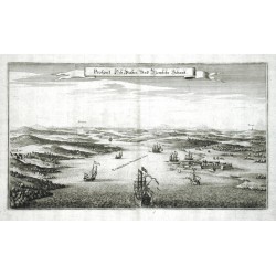
Merian, Matthäus Prospect Deß Paßes Und Newfehr SchantzCatalog No.: 07530
Strelasund. "Prospect Deß Paßes Und Newfehr Schantz". Orig. Kupferstich, M. Merian, 1654. Mit dekorative Titelkart. und zahlr. Schiffe. 21:36,5 cm.
1 200,00 KčFor sale -
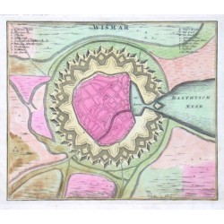
Homann, Johann Baptist WismarCatalog No.: 07524
"Wismar". Altkol. Kupferstich bei J. B. Homann, um 1720. Mit gest. Titel und Erklärungen (a.-s.). 22,5:26,5 cm.
2 100,00 KčFor sale -
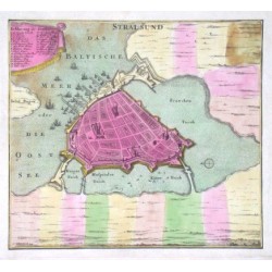
Homann, Johann Baptist StralsundCatalog No.: 07521
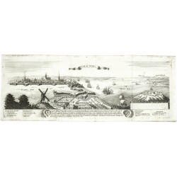
"Stralsund". Altkol. Kupferstich bei J. B. Homann, um 1720. Mit gest. Titel, ornament. Kart. mit "Erklaerung der Zieffer" und vielen Schieffe. 23,5:26 cm.
2 100,00 KčFor sale -
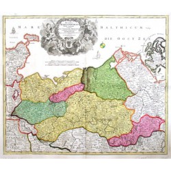
Homann, Johann Baptist Ducatus Meklenburgici tabula generalisCatalog No.: 04252
"Ducatus Meklenburgici tabula generalis". Orig. altkol. Kupf-Kte bei J. B. Homann, 1712. Mit fig. Titelkart. und Meilenzeiger. 49:58 cm.
4 800,00 KčFor sale -
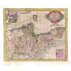
Weigel, Christoph der Ältere Des Ober Sächsischen Creißes Nordlicher TheilCatalog No.: 03456
Mecklenburg und Pommern. "Des Ober Sächsischen Creißes Nordlicher Theil mit seinen abgetheilten Provintzen". Altkol. Kupf.-Kte. (aus Ch. Weigels "Atlas Portatilis", 1720). Mit ornament. Titelkart. und "Erklaerung derer Zeichen". 15,5:19 cm.
1 500,00 KčFor sale -
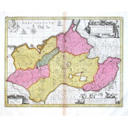
Laurenberg, J. Meklenburg DucatusCatalog No.: 02097
"Meklenburg Ducatus". Altkol. Kupf.-Kte. nach J. Laurenberg von P. Schenk und G. Valk, um 1700. Mit 2 ornament. Kart., Wappen und "Milliaria Germanica ... und Gallica communia." in fig. Kart. unten rechts. 36:48,5 cm.
6 500,00 KčFor sale -
Bodenehr, Gabriel RostockCatalog No.: 01926
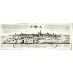
Rostock. "Rostock". View of the city across the Warnow river. Orig. copperplate engraving, G. Bodenehr, 1720. With 3 coats-of-arms and explanatory notes. 17:50 cm.
5 000,00 KčFor sale -
Bodenehr, Gabriel StralsundtCatalog No.: 01710
Stralsund. "Stralsundt". Orig. copperplate engraving by G. Bodenehr, 1720. With title cartouche and explanatory notes with accompanying text and two coats of arms under the picture. 17,5:49 cm.
3 000,00 KčFor sale -
Bodenehr, Gabriel WismarCatalog No.: 01695
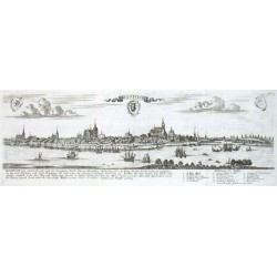
Wismar. "Wismar". Orig. copperplate engraving by G. Bodenehr, 1720. With title cartouche with a coat of arms, several shipf in the foregroound and explanatory notes with accompanying text under the picture. 16,5:50 cm.
5 000,00 KčFor sale -
Janssonius, Johannes Meklenburg DucatusCatalog No.: 01340
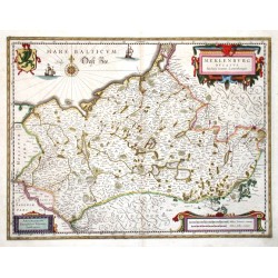
Mecklenburg. "Meklenburg Ducatus". Altkol. Kupf.-Kte. nach J. Laurenberg von J. Janssonius, um 1635. Mit 3 ausgem. ornamnet. Kart., farb. Wappen u. maritimer Staffage. 37:48 cm.
6 200,00 KčFor sale -
Blaeu, Willem Janszoon Rugia Insula ac Ducatus accuratissime...Catalog No.: 00932
Rügen. "Rugia Insula ac Ducatus accuratissime descripta". Orig. copper-engraving after E. Lubin's map of the region, published by J. Blaeu in Amsterdam, 1662. Orig old colouring. With ornamental and heraldical title-cartouche and 30 coats of arms by the sides. 38,5:50 cm.
12 000,00 KčFor sale -
Homann, Johann Baptist Prospect, Grundris und Gegent der Königl....Catalog No.: 00295
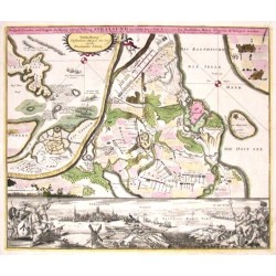
"Prospect, Grundris und Gegent der Königl. Schwed. Vestung Stralsund wie solche den 15 July 1715 von den Nordischen Hohen Allyrten ist belagert worden". Altkol. Kupf.-Kte. nach D. Heer bei J. B. Homann, (1716). Umgebungskte. von Stralsund mit...
11 000,00 KčFor sale

