No products
Africa
Africa There are 78 items.
Subcategories
-
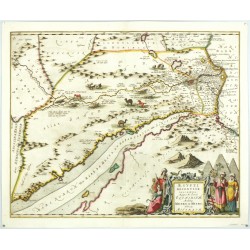
Janssonius, Johannes Aegypti Recentior DescriptioCatalog No.: 26466
Egypt. "Aegypti Recentior Descriptio". Orig. copperplate engraving, J. Janssonius, Amsterdam, ca. 1650. Orig. old colouring. With great figure title-cartouche and several animals in the map. 40:50 cm.
14 000,00 KčFor sale -
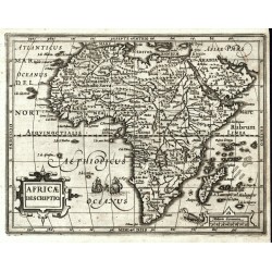
Mercator, Gerardus Africae DescriptioCatalog No.: 25528
Africa. "Africae Descriptio". Orig. copperplate engraving from Mercator's Atlas Minor. Published by J. Hondius in Amsterdam, 1609. With ornamental title cartouche. 15:19,5 cm.
6 800,00 KčFor sale -
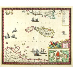
Wit, Frederik de Insula Malta accuratisime Delineata...Catalog No.: 25347
Malta, Gozo, Comino. "Insula Malta accuratisime Delineata Urbibus, et Fortalitiis expressa". Orig. copperplate engraving, F. de Wit, ca. 1680. Original old colouring. With decorative title cartouche with inset plan of Valetta. 44,5:54 cm.
30 000,00 KčFor sale -
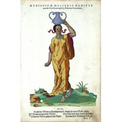
Amman, Jost Aethiopicae Mulieris Habitus quando...Catalog No.: 06642
Amman, Jost (1539-1591). Turkey. "Aethiopicae Mulieris Habitus quando Constantinopoli in Balneum frequentant. Tracht der Moerin zu Constantinopel, wann sie in das Badt gehen". Orig. woodblock, J. Amman, published by H. Weigel in Nuremberg, 1577. 30,5:20 cm.
4 000,00 KčFor sale -
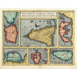
Ortelius, Abraham Insularum aliquot Maris Mediterranei...Catalog No.: 25229
Mediterranean islands. "Insularum aliquot Maris Mediterranei descriptio". Orig copperplate engraving, A. Ortelius, 1570. Orig. old colouring. With decorative title-cartouche. 36:47,5 cm.
10 500,00 KčFor sale -
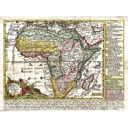
Probst, Johann Michael Africa verlegt von Ioh. Mich. ProbstCatalog No.: 24858
Africa. "Africa verlegt von Ioh. Mich. Probst". Orig. copperplate engraving. Published by J. M. Probst in Augsburg, ca. 1785. Orig. old colouring. 18:24 cm.
7 000,00 KčFor sale -
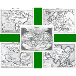
Ortelius, Abraham World and continents - Typus Orbis...Catalog No.: 14448
World and continents. "Typus Orbis Terrarum" + "Europa" + "Asia" + "Africa" + "America sive Novus Orbis". Orig. copperplate engravings from the French edition of A. Ortelius' Epitome, published in Antwerp by Plantin Press for F. Galle, 1598.
21 000,00 KčFor sale -
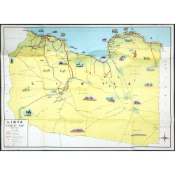
Libya Tourist MapCatalog No.: 24704
Libya - pictorial map. "Libya Tourist Map". Orig. lithograph in colour, ca. 1960. With title cartouche and many illustrations. 45,5:64,5 cm (18 x 25 1/2 inch.).
3 000,00 KčFor sale -
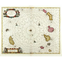
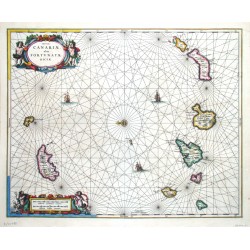
Janssonius, Johannes Insulae Canariae, olim Fortunatae DictaeCatalog No.: 24183
Canary Islands, Madeira. "Insulae Canariae, olim Fortunatae Dictae". Orig. copperplate engraving. Published by Schenk & Valk, Amsterdam, ca. 1690. Orig. old colouring. With figure title-cartouche and a cartouche with the scale of map. 42,5:53 cm.
13 000,00 KčFor sale -
Janssonius, Johannes Insulae Canariae, olim Fortunatae DictaeCatalog No.: 00710
Canary Islands, Madeira. "Insulae Canariae, olim Fortunatae Dictae". Orig. copperplate engraving, J. Janssonius, Amsterdam, 1656. Original old coloring. With two colored figure-cartouches, windrose and 3 ships. 42,5:53 cm.
12 500,00 KčFor sale -
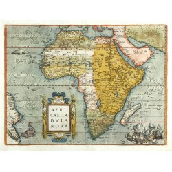
Ortelius, Abraham Africae Tabula NovaCatalog No.: 23901
Africa. "Africae Tabula Nova". Orig. copper-engraving. A. Ortelius, Antwerp, 1570. Orig. old colouring. With ornamental title-cartouche, 3 sea-monsters and a depiction of a naval battle. 37,5:50 cm (14 3/4 x 19 3/4 inch.).
34 000,00 KčFor sale -
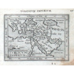
Ortelius, Abraham Ottoman Empire - Turcicum ImperiumCatalog No.: 15993
Ottoman Empire. "Turcicum Imperium". Orig. copper-engraving from the Latin edition of A. Ortelius' Epitome. Published by J. B. Vrients in Antwerp, 1609. With ornamental title-cartouche and Latin title above the map. 9:12 cm (3 1/2 x 4 3/4 inch.).
2 500,00 KčFor sale -
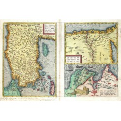
Ortelius, Abraham Natoliae, quae olim Asia Minor, nova...Catalog No.: 04656
Turkey, Asia Minor, Cyprus, and the Eastern Mediterranean. "Natoliae, quae olim Asia Minor, nova descriptio. Aegypti recentior descriptio. Carthaginis celeberrimi sinus typus". Three maps printed from one plate. Orig. copperplate engraving, A. Ortelius, 1570. Original old colouring. 32:49 cm.
6 200,00 KčFor sale -
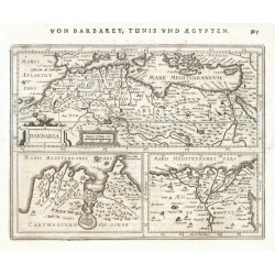
Mercator, Gerardus BarbariaCatalog No.: 21647
North Africa. "Barbaria". Orig. copper-engraving from Mercator's Atlas Minor. Published in Amsterdam by J. Janssonius, 1648-51. 14,5:19 cm.
2 400,00 KčFor sale -
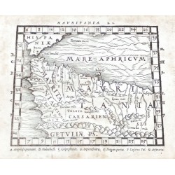
Mela, Pomponius MauritaniaCatalog No.: 21646
Northwest Africa (Morocco, Algeria). "Mauritania" (title above the map). Orig. woodcut from P. Mela's "De Orbis Situ Libri tres". Published by Henric Perti in Basel, 1564. 12,5:16 cm (5 x 6 1/4 inch.).
2 000,00 KčFor sale -
Mela, Pomponius (author) Ptolemy, Claudius (other authors) AfricaCatalog No.: 21645
Northern Africa. "Africa" (title above the map) - "Lybia Interior" (title in map). Orig. woodcut from P. Mela's "De Orbis Situ Libri tres". Published by Henric Perti in Basel, 1564. 12,5:15,5 cm (5 x 6 1/4 inch.).
2 500,00 KčFor sale -
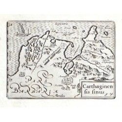
Visscher, Claes Jansz. Carthaginensis sinusCatalog No.: 21643
Tunis. "Carthaginensis sinus". Orig. copper-engraving. Published by C. J. Visscher in Amsterdam, 1649 (in Tabulae Geographicae Contrare). With ornamental title-cartouche, a sea-creature and a ship. 9:12,5 cm.
1 800,00 KčFor sale -
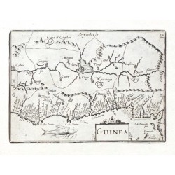
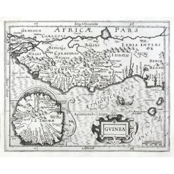
Visscher, Claes Jansz. GuineaCatalog No.: 21641
Guinea. "Guinea". Orig. copper-engraving. Published by C. J. Visscher in Amsterdam, 1649 (in Tabulae Geographicae Contrare). With ornamental title-cartouche and a sea-creature. 9:12,5 cm.
1 800,00 KčFor sale -
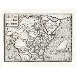
Visscher, Claes Jansz. Abissinorum ImperiumCatalog No.: 21640
Central Africa. "Abissinorum Imperium". Orig. copper-engraving. Published by C. J. Visscher in Amsterdam, 1649 (in Tabulae Geographicae Contrare). With ornamental title-cartouche, a ship and a sea-creature. 9:12,5 cm.
2 800,00 KčFor sale -
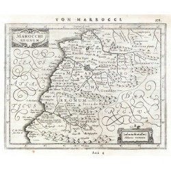
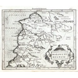
Mercator, Gerardus Marocchi RegnumCatalog No.: 21639
Morocco. "Marocchi Regnum". Orig. copper-engraving from Mercator's Atlas Minor. Published in Amsterdam by J. Janssonius, 1648. 15:19 cm.
2 400,00 KčFor sale -
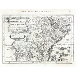
Mercator, Gerardus Abissinorum sive Pretiosi Ioannis ImperiumCatalog No.: 21638
Central Africa. "Abissinorum sive Pretiosi Ioannis Imperium". Orig. copper-engraving after G. Mercator's map of the region. Engraved by P. Kaerius. Published in Amsterdam by J. Janssonius, 1648. With ornamental title-cartouche with the scale of map. 13,5:19,5 cm.
3 000,00 KčFor sale -
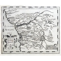
Mercator, Gerardus Congi RegnumCatalog No.: 21637
Congo (Western Africa). "Congi Regnum". Orig. copper-engraving from G. Mercator's Atlas Minor. Published in Amsterdam by J. Hondius, C. Claesz. and J, Jansz., 1607. With ornamental title-cartouche and another ornamental cartouche with the scale of map. 14:17,5 cm.
1 500,00 KčFor sale -
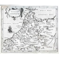
Mercator, Gerardus Fessae RegnumCatalog No.: 21635
Morocco. "Fessae Regnum". Orig. copper-engraving from G. Mercator's Atlas Minor. Published in Amsterdam by J. Hondius, C. Claesz. and J, Jansz., 1607. With ornamental title-cartouche and a ship. 15,5:19 cm.
1 800,00 KčFor sale -
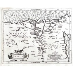
Mercator, Gerardus AegyptusCatalog No.: 21632
Egypt. "Aegyptus". Orig. copper-engraving from G. Mercator's Atlas Minor. Published in Amsterdam by J. Hondius, C. Claesz. and J, Jansz., 1607. With ornamental title-cartouche and another ornamental cartouche with the scale of map. 15:19 cm.
2 100,00 KčFor sale -
Mercator, Gerardus (author) Keere, Pieter van den (Petrus Kaerius) (other authors) GuineaCatalog No.: 21631
Guinea. "Guinea". Orig. copper-engraving from G. Mercator's Atlas Minor. Engraved by P. Kaerius (van den Keere). Published in Amsterdam by J. Janssonius, 1648-51. With ornamental title-cartouche, the scale of map and a cartouche with inset map of Saint Thomas (São Tomé) Island. 14:18,5 cm.
2 500,00 KčFor sale -
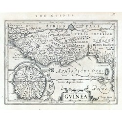
Mercator, Gerardus GuineaCatalog No.: 21630
Guinea. "Guinea". Orig. copper-engraving from G. Mercator's Atlas Minor. Published in Amsterdam by J. Hondius, C. Claesz. and J, Jansz., 1607. With ornamental title-cartouche, the scale of map, a sea-creature and a cartouche with inset map of Saint Thomas (São Tomé) Island. 15:19 cm.
2 400,00 KčFor sale -
Mercator, Gerardus BarbariaCatalog No.: 21628
North Africa. "Barbaria". Orig. copper-engraving from Mercator's Atlas Minor. Published in Amsterdam by J. Janssonius, 1630. 14:18,5 cm.
2 400,00 KčFor sale -
Mercator, Gerardus Marocchi RegnumCatalog No.: 21629
Morocco. "Marocchi Regnum". Orig. copper-engraving from Mercator's Atlas Minor. Published in Amsterdam by J. Hondius, 1609. 15,5:19 cm.
2 400,00 KčFor sale -
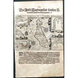
Bry, Johann Theodor de Insula de S. LaurentiiCatalog No.: 21606
Madagascar. "Insula de S. Laurentii". Orig. copperplate engraving, J. T. de Bry after J. H. van Linschoten's map of the region. Published by M. Becker in Frankfurt a. Main, 1599. With German title above the map. 14:19,5 cm.
4 800,00 KčFor sale -
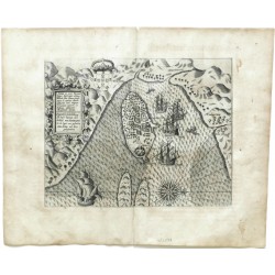
Bry, Johann Theodor de Insulae et arcis Mocambique ... Egentliche...Catalog No.: 21599
Island of Mozambique. "Insulae et arcis Mocambique deschriptio ad fines Melinde sitae ... Egentliche suhrbildung der Insel Sampt dem Schloss Mosambique So da liget am gestaden Melinde mit dern gelegenheit". Orig. copper-engraving by J. T. de Bry based on J. H. van Linschoten's travels to the Far East. Published by M. Becker in Frankfurt a. Main, 1613.
6 500,00 KčFor sale -
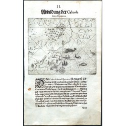
Bry, Johann Theodor de Abbildung der Cabo de bona EsperancaCatalog No.: 21595
Cape of Good Hope (Africa). "Abbildung der Cabo de bona Esperanca". Orig. copper-engraving by G. Keller from J. T. de Bry's Orientalische Indien. Published by M. Becker in Frankfurt a. Main, 1612. With German title above the map, many ships, sea-creatures, figures and 2 wind-roses. 14:17 cm.
4 800,00 KčFor sale -
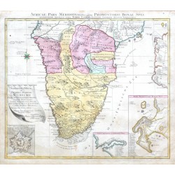
Lotter, Tobias Conrad Africae Pars Meridionalis cum Promontorio...Catalog No.: 20991
Southern Africa and the Cape of Good Hope."Africae Pars Meridionalis cum Promontorio Bonae Spei". Orig. copper-engraving, T. C. Lotter, Augsburg, ca. 1770. Original old colouring. With Latin title above the map, a cartouche with dedication and 3...
8 000,00 KčFor sale -
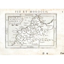
Ortelius, Abraham Marocco - Fessae, et Marocci RegnaCatalog No.: 19872
Morocco. "Fessae, et Marocci Regna". Orig. copper-engraving from the German edition of A. Ortelius' Epitome ("Außzug auß des ... Ortely Theatro Orbis"). Published by L. Hulsius in Frankfurt am Main, 1604. With ornamental title-cartouche and...
1 800,00 KčFor sale -
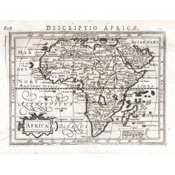
Bertius, Petrus AfricaCatalog No.: 19569
Africa."Africa". Orig. copper-engraving, P. Bertius, 1616. Published by J. Hondius Jr. in Amsterdam, 1616/18. With lat. title above the map ("Descriptio Africae"), ornamental title-cartouche and another ornamental cartouche with the scale of map...
4 500,00 KčFor sale -
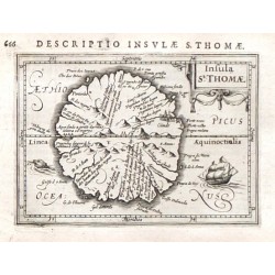
Bertius, Petrus Insulae St. ThomaeCatalog No.: 19551
"Insulae St. Thomae". Orig. copper-engraving, P. Bertius, 1616. Published by J. Hondius Jr. in Amsterdam, 1616/18. With lat. title above the map ("Descriptio Insulae S. Thomae"), ornamental title-cartouche, a ship, a sea-monster and depiction of...
3 000,00 KčFor sale -
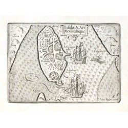
Keere, Pieter van den (Petrus Kaerius) Insulae & Ars MosambiqueCatalog No.: 18597
Island of Mozambique."Insulae & Ars Mosambique". Orig. copper-engraving by P. Kaerius. Published by C. J. Visscher in Amsterdam, 1649 (in Tabulae Geographicae Contrare). With ornamental title-cartouche, 2 ships and a boat. 9:12,5 cm (3 1/2 x 5...
2 100,00 KčFor sale -
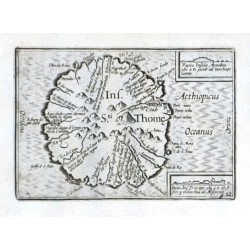
Visscher, Claes Jansz. Ins. Sti. ThomeCatalog No.: 18570
"Ins. Sti. Thome". Orig. copper-engraving. Published by C. J. Visscher in Amsterdam, 1649 (in Tabulae Geographicae Contrare). With title in map and 2 inset views: "Facies Insulae Annobon ..." (2:3,5 cm) and "Facies Ins. Principis ..." (1,5:4 cm)....
2 400,00 KčFor sale -
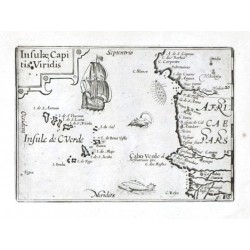
Visscher, Claes Jansz. Insulae Capitis ViridisCatalog No.: 18528
Cape Verde Islands."Insulae Capitis Viridis". Orig. copper-engraving. Published by C. J. Visscher in Amsterdam, 1649 (in Tabulae Geographicae Contrare). With ornamental title-cartouche, a ship and a sea-creature. 9:12,5 cm (3 1/2 x 5 inch.).
2 100,00 KčFor sale -
Magini, Giovanni Antonio (author) Porro, Girolamo (other authors) AfricaCatalog No.: 18363
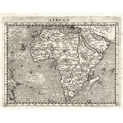
Africa. "Africa". Orig. copperplate engraving from G. Magini's 'Geographiae Universae'. Engraved by G. Porro. Published by P. Keschedt in Cologne, 1597. 13:17 cm (5 1/4 x 6 3/4 inch.).
6 000,00 KčFor sale -
Ruscelli, Girolamo (author) Ptolemy, Claudius (other authors) Tabula Aphricae ICatalog No.: 17208
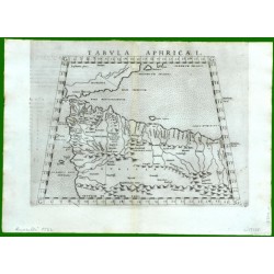
Northwest Africa. "Tabula Aphricae I". Orig. copper-engraving from G. Ruscelli's edition of Ptolemy's Geography. Published in Venice by G. Ziletti, 1562. With title above the map. 18,5:25 cm (7 1/4 x 10 inch.).
2 500,00 KčFor sale -
Ruscelli, Girolamo (author) Ptolemy, Claudius (other authors) Tabula Africae IIIICatalog No.: 17166
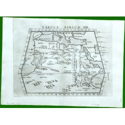
North Africa. "Tabula Africae IIII". Orig. copper-engraving from G. Ruscelli's edition of Ptolemy's Geography. Published in Venice by G. Ziletti, 1562. With title above the map. 19:25 cm (7 1/2 x 10 inch.).
2 500,00 KčFor sale -
Ruscelli, Girolamo Africa Nuova TavolaCatalog No.: 17154
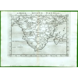
Southern Africa. "Africa Nuova Tavola". Orig. copper-engraving from G. Ruscelli's edition of Ptolemy's Geography. Published in Venice by G. Ziletti, 1562. With title above the map. 18,5:25 cm (7 1/4 x 10 inch.).
10 500,00 KčFor sale -
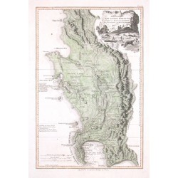
De La Rochette, Louis Stanislas d'Arcy Das Vorgebirg der Guten HofnungCatalog No.: 16473
"Das Vorgebirg der Guten Hofnung". Orig. copper engraving after De La Rochette's important map of the Cape of Good Hope. Published in Vienna by F. A. Schraembl, 1789. Orig. old colouring. With figure (Europeans hunting elephants with lances)...
9 000,00 KčFor sale -
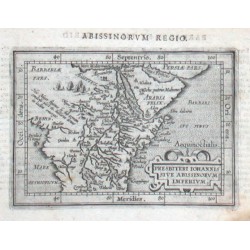
Ortelius, Abraham Africa - Presbiteri Iohannis sive...Catalog No.: 15990
Central Africa - Ethiopia. "Presbiteri Iohannis sive Abissinorvm Imperivm". Orig. copper-engraving from the Latin edition of A. Ortelius' Epitome. Published by J. B. Vrients in Antwerp, 1609. With ornamental title-cartouche and Latin title ("Abissinorvm Regio")...
2 500,00 KčFor sale -
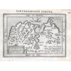
Ortelius, Abraham Carthage - Carthaginis Celeberrimi Sinus...Catalog No.: 15957
Carthage. "Carthaginis Celeberrimi Sinus Typus". Orig. copper-engraving from the Latin edition of A. Ortelius' Epitome. Published by J. B. Vrients in Antwerp, 1609. With ornamental title-cartouche, a sailing ship and Latin title ("Carthaginensis...
1 500,00 KčFor sale -
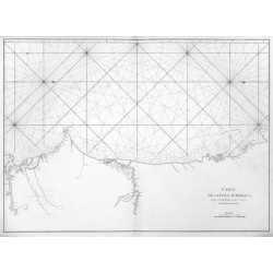
Mannevillette, Jean Baptiste d'Après de Carte de la Cote d'AfriqueCatalog No.: 15825
Gambia, Senegal and Mauritania."Carte de la Cote d'Afrique, depuis le Cap Blanc jusques et Compris la Rivere de Gambie". J. B. d'Apres de Mannevillette, from his atlas "Neptune orientale". Orig. copper-engraving, published in Paris, ca. 1780....
3 600,00 KčFor sale -
Ortelius, Abraham Africae Tabula NovaCatalog No.: 15810
Africa. "Africae Tabula Nova". Orig. copper-engraving. A. Ortelius, Antwerp, 1570. With ornamental title-cartouche, 3 sea-monsters and a depiction of a naval battle. 37,5:50 cm (14 3/4 x 19 3/4 inch.).
24 000,00 KčFor sale -
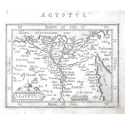
Ortelius, Abraham Egypt - AegyptusCatalog No.: 14544
Egypt. "Aegyptus". Orig. copper-engraving from the German edition of A. Ortelius' Epitome, published in Frankfurt am Main by L. Hulsius (Hulst), 1604. With ornamental title-cartouche, the scale of map ("Milliaria Italica") and Latin title above...
1 800,00 KčFor sale -
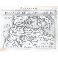
Ortelius, Abraham Africa - Barbaria, et BiledulgeridCatalog No.: 14391
Northwest Africa. "Barbaria, et Biledvlgerid". Orig. copper-engraving from the French edition of A. Ortelius' Epitome, published in Antwerp by Plantin Press for F. Galle, 1598. With title-cartouche and Latin title above the map. 8:10,5 cm (3 1/4 x 4...
2 000,00 KčFor sale -
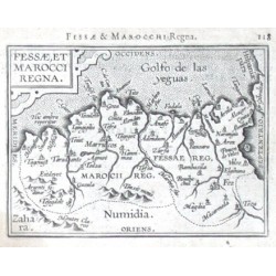
Ortelius, Abraham Fessae, et Marocci RegnaCatalog No.: 14352
Morocco. "Fessae, et Marocci Regna". Orig. copper-engraving from the French edition of A. Ortelius' Epitome, published in Antwerp by Plantin Press for F. Galle, 1598. With ornamental title-cartouche and Latin title ("Fessae & Marocchi Regna")...
1 800,00 KčFor sale

