No products
America There are 20 items.
-
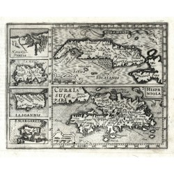
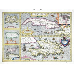
Mercator, Gerardus Cuba Insula - Hispaniola - Havana PortusCatalog No.: 07953
Antilles (West Indies). "Cuba Insula"; "Hispaniola". Orig. copperplate engraving from Mercator's Atlas Minor. Published by J. Hondius in Amsterdam, 1609. Two main maps and 4 inset charts to the left: "Havana Portus"; "Iamaica"; "I. S. Ioannis"; "I. Margareta". 14,5:18,5 cm.
5 000,00 KčFor sale -
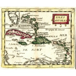
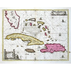
Duval, Pierre Isles AntillesCatalog No.: 06447
Antilles and Bahamas (Caribbean). "Isles Antilles". Orig. copperplate engraving, P. Duval, Paris, 1670. Original old colouring. With decorative title-cartouche. 10:12,5 cm.
2 500,00 KčFor sale -
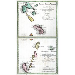
Weigel, Christoph der Ältere Isulae Antillae Francicae Superiores ......Catalog No.: 16593
Lesser Antilles. "Isulae Antillae Francicae Superiores ... Inferiores ...". Orig. copperplate engravings, Ch. Weigel, Nuremberg, 1718. Orig. old colouring. Two plates, each ca. 33:36 cm.
10 500,00 KčFor sale -
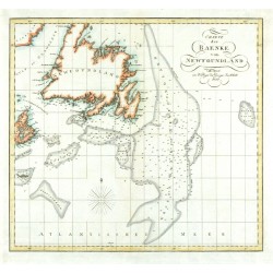
Charte der Baenke von NewfoundlandCatalog No.: 24465
Newfoundland. "Charte der Baenke von Newfoundland". Orig. copperplate engraving, 1821. Orig. old colouring. 32:34,5 cm.
3 000,00 KčFor sale -
Hondius, Jodocus Cuba Insula - Hispaniola Insula - Insula...Catalog No.: 00098
Antilles (West Indies). "Cuba Insula. Hispaniola Insula. Insula Iamaica. Ins. S. Ioannis. I. S. Margareta". Orig. copper-engraving, J. Hondius, 1606. Coloured. 36:50 cm.
16 000,00 KčFor sale -
Janssonius, Johannes Insularum Hispaniolae et Cubae delineatioCatalog No.: 00113
Antilles (West Indies - the Carribean). "Insularum Hispaniolae et Cubae Cum Insulis circum jacentibus accurata delineatio". Orig. copper-engravig, J. Janssonius. Original old colouring. Published by G. Valk & P. Schenk in Amsterdam, ca. 1690. With figure title-cartouche,...
30 000,00 KčFor sale -
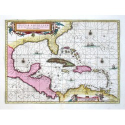
Janssonius, Johannes Insulae AmericanaeCatalog No.: 00111
Central America and Antilles (West Indies). "Insulae Americanae in Oceano Septentrionali". Orig. copperplate engraving, J. Janssonius. Published by G. Valk and P. Schenk, 1694. Beautiful old colouring. With great ornamental title-cartouche with 2...
28 000,00 KčFor sale -
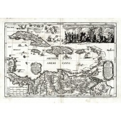
Scherer, Heinrich Archipelagi Americani delineatio geographicaCatalog No.: 07971
Antilles. "Archipelagi Americani delineatio geographica". Orig. copperplate engraving from H. Scherer's "Atlas novus", published in Munich, 1703. With ornamental title cartouche. 23:34 cm.
7 500,00 KčFor sale -
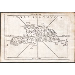
Ramusio, Giovanni Baptista Isola SpagnvolaCatalog No.: 20316
Hispaniola."Isola Spagnuola". Orig. woodblock from the 3rd volume of Giov. Batt. Ramusio's 'Delle Navigationi et Viagi' - 'Nel Quale Si Contengono Le Nauigationi al Mondo Nuouo, alli Antichi incognito, fatte da Don Christoforo Colombo Genouese,...
15 000,00 KčFor sale -
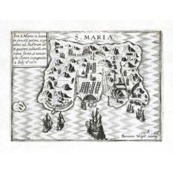
Visscher, Claes Jansz. (author) Wright, Benjamin (other authors) S. MariaeCatalog No.: 18405
Santa Maria Island (Chile). "S. Mariae". Orig. copperplate engraving by B. Wright. Published by C. J. Visscher in Amsterdam, 1649 (in Tabulae Geographicae Contrare). With engraved title, a cartouche with description and several ships. 9:12 cm
2 700,00 KčFor sale -
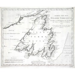
Bellin, Jacques Nicolas Karte von dem Eylande Terre-neuveCatalog No.: 17691
Newfoundland (Canada)."Karte von dem Eylande Terre-neuve". Orig. copper-engraving, J. N. Bellin, dated 1744. Published in Leipzig, ca. 1760. With title and the scale of map. 28,5:36 cm (11 1/4 x 14 1/4 inch.).
2 400,00 KčFor sale -
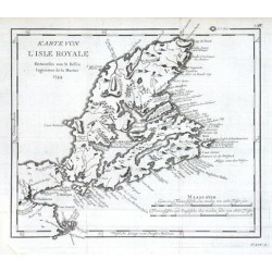
Bellin, Jacques Nicolas Karte von L'Isle RoyaleCatalog No.: 17688
Cape Breton Island (Canada)."Karte von L'Isle Royale". Orig. copper-engraving, J. N. Bellin, dated 1744. Published in Leipzig, ca. 1760. With title and the scale of map ("Maass-stab"). 24:27,5 cm (9 1/2 x 10 3/4 inch.).
1 500,00 KčFor sale -
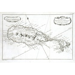
Bellin, Jacques Nicolas Karte von der Inset St. ChristophCatalog No.: 17679
Saint Kitts."Karte von der Inset St. Christoph". Orig. copper-engraving, J. N. Bellin. Published in Leipzig, ca. 1760. With decorative title-cartouche and another cartouche with the scale of map. 19,5:30,5 cm (7 3/4 x 12 inch.).
1 500,00 KčFor sale -
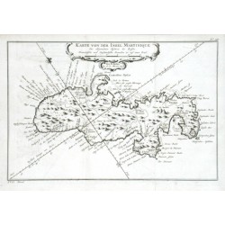
Bellin, Jacques Nicolas Karte von der Insel MartiniqueCatalog No.: 17673
Martinique."Karte von der Insel Martinique". Orig. copper-engraving, J. N. Bellin, dated 1758. Published in Leipzig, ca. 1760. With decorative title cartouche. 20:30 cm (8 x 11 3/4 inch.).
2 500,00 KčFor sale -
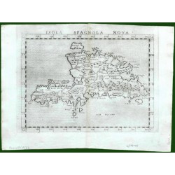
Ruscelli, Girolamo Isola Spagnola NovaCatalog No.: 17643
Hispaniola (Haiti/Dominican Republic) and Martinique. "Isola Spagnola Nova". Orig. copper-engraving from G. Ruscelli's edition of Ptolemy's Geography. Published in Venice by G. Ziletti, 1562. With title above the map. 18,5:24,5 cm (7 1/4 x 9 3/4...
4 000,00 KčFor sale -
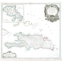
Vaugondy, Robert de Isles de Saint Dominigue ou Hispaniola et...Catalog No.: 17640
Hispaniola (Haiti/Dominican Republic) and Martinique."Isles de Saint Dominigue ou Hispaniola et de la Martinique". Orig. copper-engraving published by R. de Vaugondy, 1750. Original old colouring. With great ornamental title-cartouche, another...
6 500,00 KčFor sale -
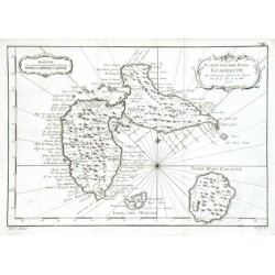
Bellin, Jacques Nicolas Karte von der Insel GuadelupeCatalog No.: 17637
Guadeloupe."Karte von der Insel Guadelupe". Orig. copper-engraving, J. N. Bellin, dated 1758. Published in Leipzig, ca. 1760. With ornamental title-cartouche and another ornamental cartouche with the scale of map. 21:30,5 cm (8 1/4 x 12 inch.).
1 500,00 KčFor sale -
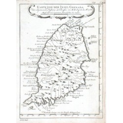
Bellin, Jacques Nicolas Karte von der Insel GrenadaCatalog No.: 17634
Grenada."Karte von der Insel Grenada". Orig. copper-engraving, J. N. Bellin. Published in Leipzig, ca. 1760. With decorative title cartouche. 21:15,5 cm (8 1/4 x 6 1/4 inch.).
1 200,00 KčFor sale -
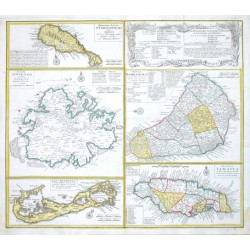
Homann Heirs Dominia Anglorum in praecipuis Insulis...Catalog No.: 17628
Antilles and Bermuda."Dominia Anglorum in praecipuis Insulis Americae ... - Die Englische Colonie-Laender Auf den Isuln von America". Orig. copper-engraving published by Homann's Heirs, ca. 1750. Four maps of the islands of West Indies (St....
12 000,00 KčFor sale -
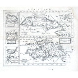
Mercator, Gerardus Cvba Insvla, Hispaniola InsulaCatalog No.: 17613
Antilles."Cuba Insula", "Hispaniola Insula". Orig. copper-engraving after G. Mercator's maps of the region. Published in Amsterdam by J. Janssonius, 1648-51. With 5 decorative cartouches. Two main maps (the map of Cuba with small inset map of...
4 500,00 KčFor sale

