No products
Asia and the Pacific There are 34 items.
-
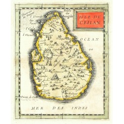
Duval, Pierre Ceylon, Sri Lanka - Isle de Ceilan,...Catalog No.: 26638
Ceylon. "Isle de Ceilan". Orig. copperplate engraving, P. Duval, Paris, 1676. Original old colouring. With decorative title cartouche. 12,5:10 cm.
3 000,00 KčFor sale -
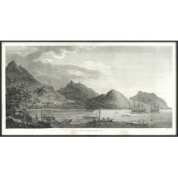
Webber, John (author) Byrne, William (other authors) A View of HuaheineCatalog No.: 26429
Huahine, French Polynesia. Cook's Third voyage. "A View of Huaheine". Orig. copperplate engraving from: J. Cook, A voyage to the Pacific Ocean, London, 1784. Engraved by W. Byrne after J. Webber's drawing. 23:46,5 cm.
7 500,00 KčFor sale -
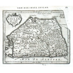
Keere, Pieter van den (Petrus Kaerius) (author) Mercator, Gerardus (other authors) Insula Ceilan quae incolis Tenarisin diciturCatalog No.: 13983
Ceylon (Sri Lanka). "Insula Ceilan quae incolis Tenarisin dicitur". Orig. copperplate engraving, P. van den Keere from G. Mercator's Atlas Minor. Published in Amsterdam by J. Janssonius, 1651. With ornamental title cartouche. 14,5:18,5 cm.
3 200,00 KčFor sale -
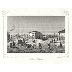
Büchner, E. Hobart TownCatalog No.: 12090
Hobart (Tasmania, Australia). "Hobart Town". Stone engraving by E. Büchner. Published by C. W. Medau in Prague, 1847. With ornamental frame and English title under the picture. 12,5:17 cm (5 x 6 3/4 inch.).
1 500,00 KčFor sale -
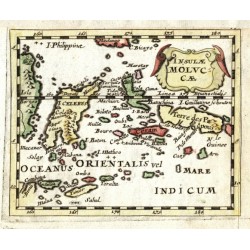
Duval, Pierre Insulae MolucaeCatalog No.: 13890
Maluku Islands. "Insulae Molucae". Orig. copperplate engraving, P. Duval, 'Geographiae Universalis', J. Hoffman, Nuremberg, 1679. Original old colouring. With decorative title-cartouche. 10:12,5 cm.
1 800,00 KčFor sale -
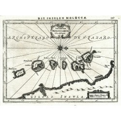
Mercator, Gerardus Insularum Moluccarum Nova descriptioCatalog No.: 25536
Moluccas. "Insularum Moluccarum Nova descriptio". Orig. copperplate engraving from Mercator's Atlas Minor. Published by J. Janssonius in Amsterdam, 1648. With ornamental title cartouche. 14,5:20 cm.
2 100,00 KčFor sale -
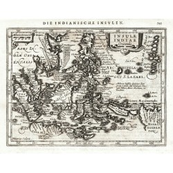
Keere, Pieter van den (Petrus Kaerius) (author) Mercator, Gerardus (other authors) Insulae Indiae orientalisCatalog No.: 25534
East Indies. "Insulae Indiae Orientalis". Orig. copperplate engraving from Mercator's Atlas Minor. Published by J. Janssonius in Amsterdam, 1648. With ornamental title cartouche. 14,5:19,5 cm.
9 000,00 KčFor sale -
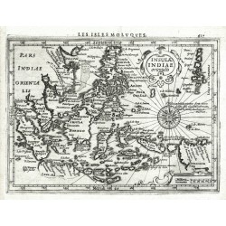
Mercator, Gerardus Insulae Indiae orientalisCatalog No.: 25533
East Indies. "Insulae Indiae orientalis". Orig. copperplate engraving from Mercator's Atlas Minor. Published by J. Hondius in Amsterdam, 1608. With ornamental title cartouche. 14,5:19,5 cm.
9 000,00 KčFor sale -
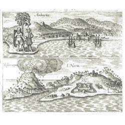
Merian, Matthäus Amboyna. M. Ganapus. I. NeraCatalog No.: 14268
Ambon, Banda Neira and Banda Api (Moluccas). "Amboyna. M. Ganapus. I. Nera". Orig. copperplate engraving, M. Merian from J. L. Gottfried's "Historia Antipodum, oder Newe Welt". Published in Frankfurt am Main by Merian's Heirs, 1655. 15,5:18,5 cm.
2 500,00 KčFor sale -
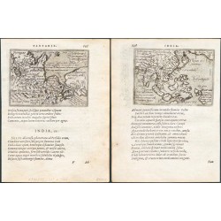
Ortelius, Abraham Asia - Indiae orientalis insularumque ......Catalog No.: 20361
Southeast Asia (East Indies) and Northeast Asia. "Indiae orientalis insularumque ..." + "Tartariae sive magni Chami regni typus". Orig. copper-engravings, F. Galle after A. Ortelius' maps. From Galle's "Theatri Orbis Terrarum Enchiridion". Published in Antwerp by C. Plantin for F. Galle, 1585....
7 000,00 KčFor sale -
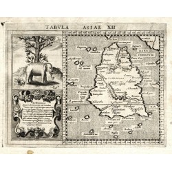
Magini, Giovanni Antonio (author) Porro, Girolamo (other authors) Tabula Asiae XIICatalog No.: 18324
Ceylon (Sri Lanka). "Tabula Asiae XII". Orig. copperplate engraving from G. A. Magini's Geographiae Universae. Based on C. Ptolemaeus' map of the region. Engraved by G. Porro. Published in Köln by P. Keschedt, 1597. 13:17 cm.
4 500,00 KčFor sale -
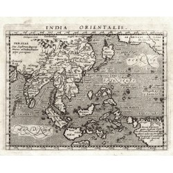
Magini, Giovanni Antonio (author) Porro, Girolamo (other authors) India OrientalisCatalog No.: 18318
East Indies. "India Orientalis". Orig. copperplate engraving from G. Magini's 'Geographiae Universae'. Engraved by G. Porro. Published by P. Keschedt in Cologne, 1597. 13:17 cm.
7 500,00 KčFor sale -
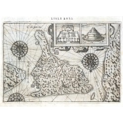
Lodewijcksz, Willem Lisle BaliCatalog No.: 21761
Bali. "Lisle Bali". Orig. copper-engraving from W. Lodewijcksz's (also Lodewycksz) "Premier Livre de l'Histoire de la Navigation aux Indes Orientales". Published by C. Clesz in Amsterdam, 1598. With title above the map. 14,5:21,5 cm.
10 000,00 KčFor sale -
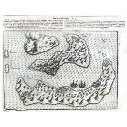
Neck, Jacob Cornelisz. van La Carte de BandaCatalog No.: 21759
Banda Islands. "La Carte de Banda". Orig. copper-engraving from J. Cornelisz. van Neck's "Le second livre, Iournal ou Comptoir ... du Voiage ... 1598". Published by C. Clesz, Amsterdam for Bonaventure Dacivelle, Calais, 1601. With title above the map. 14:20 cm.
8 000,00 KčFor sale -
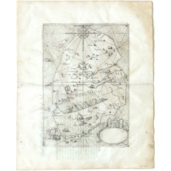
Bry, Johann Theodor de Mappe dieser Landtschafft oder Insel CelonCatalog No.: 21605
Sri Lanka (Ceylon). "Mappe dieser Landtschafft oder Insel Celon". Orig. copper-engraving by J. T. de Bry, published by M. Becker in Frankfurt a. Main, 1605. With German title on verso. 28:19,5 cm.
13 500,00 KčFor sale -
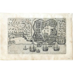
Bry, Johann Theodor de Wie die Statt Bantam gelegenCatalog No.: 21603
Old Banten. Banten (Java - Indonesia). ("Wie die Statt Bantam gelegen"). Orig. copper-engraving by J. T. de Bry, published by M. Becker in Frankfurt a. Main, 1599. With German title on verso of the previous leaf. 15:25 cm.
3 000,00 KčFor sale -
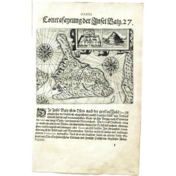
Bry, Johann Theodor de (author) Linschoten, Jan Huygen van (other authors) Contrafaytung der Insel BalyCatalog No.: 21601
Bali (Indonesia). "Contrafaytung der Insel Baly". Orig. copper-engraving by J. T. de Bry, published by M. Becker in Frankfurt a. Main, 1599. With German title above the picture. 14:18 cm.
9 500,00 KčFor sale -
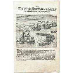
Bry, Johann Theodor de Wie wir die Statt Bantam beschlossen ...Catalog No.: 21600
Banten (Java - Indonesia). "Wie wir die Statt Bantam beschlossen ...". Orig. copper-engraving by J. T. de Bry, published by M. Becker in Frankfurt a. Main, 1599. With German title above the picture. 14,5:17,5 cm.
2 100,00 KčFor sale -
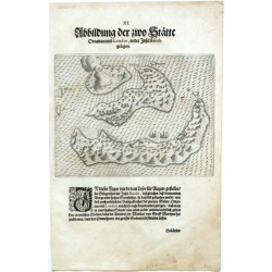
Bry, Johann Theodor de Abbildung der zwo Stätte Ortattan und...Catalog No.: 21597
Banda Islands. "Abbildung der zwo Stätte Ortattan und Londor, in der Insel Banda gelegen". Orig. copper-engraving by J. T. de Bry, published by M. Becker in Frankfurt a. Main, 1613. With German title above the map and two ships. 14,5:18,5 cm.
3 000,00 KčFor sale -
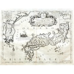
Coronelli, Vicenzo Maria Isola del Giapone e Penisola di CoreaCatalog No.: 21486
Japan and Korea. "Isola del Giapone e Penisola di Corea". Orig copper-engraving, V. M. Coronelli (from his Isolario). Published in Venice, 1696.
42 000,00 KčFor sale -
Bertius, Petrus Ceylon I., Insul. MaldivaeCatalog No.: 19935
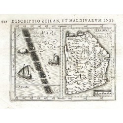
Ceylon and Maldives."Ceylon I." and "Insul. Maldivae". Orig. copper-engraving from P. Bertius' "Tabulae Geographicae ...". Published in Amsterdam by J. Hondius Jr., 1616/18. Ceylon map with ornamental title-cartouche and another cartouche with...
2 800,00 KčFor sale -
Mela, Pomponius Aethiopia. TaprobanaCatalog No.: 18804
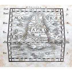
Sri Lanka (Ceylon)."Aethiopia" (title above the map) - "Taprobana" (title in map). Orig. woodcut from P. Mela's "De Orbis Situ Libri tres". Published by Henric Perti in Basel, 1564. 13:16 cm (5 1/4 x 6 1/4 inch.).
3 000,00 KčFor sale -
Bellin, Jacques Nicolas Karte von den Eylanden von JaponCatalog No.: 17787
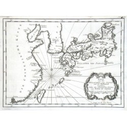
Japan."Karte von den Eylanden von Japon und der Halbinsel Corea, Nebst den Chinesischen Küsten von Pekin bis Canton". Orig. copper-engraving, J. N. Bellin. Published in Leipzig, ca. 1760. With decorative title-cartouche. 21:28 cm (8 1/4 x 11 inch.).
5 400,00 KčFor sale -
Mercator, Gerardus Ceilan insulaCatalog No.: 17769
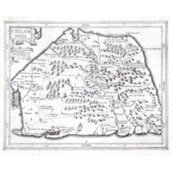
Ceylon."Ceilan insula". Orig. copper-engraving from G. Mercator's Atlas Minor. Published in Amsterdam by J. Hondius, 1607. With ornamental title-cartouche with the scale of map. 14,5:18,5 cm (5 3/4 x 7 1/4 inch.).
3 800,00 KčFor sale -
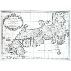
Bellin, Jacques Nicolas Karte von dem Reiche JaponCatalog No.: 17751
Japan."Karte von dem Reiche Japon". Orig. copper-engraving, J. N. Bellin. Published in Leipzig, ca. 1760. With ornamental title-cartouche. 21,5:31 cm (8 1/2 x 12 1/4 inch.).
4 800,00 KčFor sale -
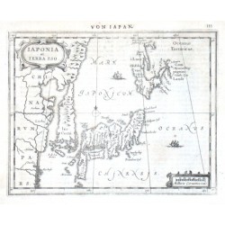
Mercator, Gerardus Iaponia et Terra EsoCatalog No.: 17736
Japan."Iaponia et Terra Eso". Orig. copper-engraving from G. Mercator's Atlas Minor. Published by J. Janssonius in Amsterdam, 1651. With German title ("Von Iapan") above the map, ornamental title-cartouche, another cartouche with the scale of map...
12 500,00 KčFor sale -
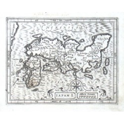
Mercator, Gerardus Iapan I.Catalog No.: 17733
Japan."Iapan I.". Orig. copper-engraving from G. Mercator's Atlas Minor. Published by J. Hondius in Amsterdam, 1609. With great ornamental title-cartouch with the scale of map and a wind-rose. 13:17 cm (5 1/4 x 6 3/4 inch.).
9 500,00 KčFor sale -
Mannevillette, Jean Baptiste d'Après de Carte du Détroit de la Sonde ou de...Catalog No.: 17730
Sumatra (Indonesia)."Carte pour aller du Détroit de la Sonde ou de Batavia au Détroit de Banca". J. B. d'Apres de Mannevillette, from his atlas "Neptune orientale". Orig. copper-engraving, published in Paris, ca. 1780. With title upper left...
2 800,00 KčFor sale -
Mannevillette, Jean Baptiste d'Après de Carte Plate de la Côte Occidentale de...Catalog No.: 17727
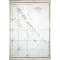
Sumatra (Indonesia)."Carte Plate de la Cote Occidentale de l'Isle Sumatra". J. B. d'Apres de Mannevillette, from his "Neptune orientale". Orig. copper-engraving, engraved by G. de la Haye. Published in Paris, ca. 1780. With title in upper left...
2 000,00 KčFor sale -
Mannevillette, Jean Baptiste d'Après de Carte de La Cote Occidentale de l'Isle...Catalog No.: 17724
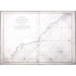
Sumatra (Indonesia)."Carte de La Cote Occidentale de l'Isle Sumatra depuis ... Détroit de la Sonde". J. B. d'Apres de Mannevillette, from his "Neptune orientale". Orig. copper-engraving, engraved by G. de la Haye. Published in Paris, ca. 1780....
2 800,00 KčFor sale -
Bellin, Jacques Nicolas Neue Karte von dem Eylane JavaCatalog No.: 17709
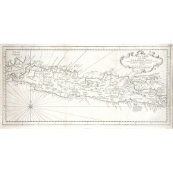
Java (Indonesia)."Neue Karte von dem Eylane Java". Orig. copper-engraving, J. N. Bellin. Published in Leipzig, ca. 1760. With decorative title cartouche and a wind-rose. 20:43 cm (8 x 17 inch.).
2 100,00 KčFor sale -
Mannevillette, Jean Baptiste d'Après de Nouveau Plan des Détroits de Java et de...Catalog No.: 17700
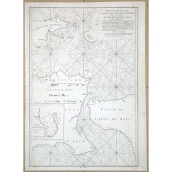
Bali."Nouveau Plan des Détroits ... de Java et de Madura ... les Détroits de Bali". J. B. d'Apres de Mannevillette, from his "Neptune orientale". Orig. copper-engraving by G. de la Haye. Published in Paris, ca. 1780. With title and explanatory...
5 600,00 KčFor sale -
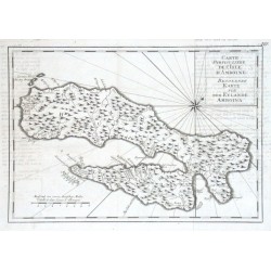
Bellin, Jacques Nicolas Carte Particuliere de l'Isle d'Amboine -...Catalog No.: 17697
Ambon (Moluccas)."Carte Particuliere de l'Isle d'Amboine - Besondere Karte von dem Eylande Amboina". Orig. copper-engraving, J. N. Bellin. Published in Leipzig, ca. 1760. With Fr.-Ger. title-cartouche and the scale of map. 20,5:30 cm (8 x 11 3/4...
1 500,00 KčFor sale -
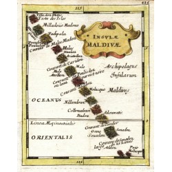
Duval, Pierre Insulae MaldivaeCatalog No.: 17694
Maledives. "Insulae Maldivae". Orig. copperplate engraving, P. Duval, 'Geographiae Universalis', J. Hoffman, Nuremberg, 1679. Original old colouring. With decorative title-cartouche. 12,5:10 cm.
1 500,00 KčFor sale

