No products
Rhine There are 5 items.
-
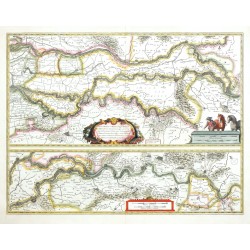
Blaeu, Willem Janszoon Tractus Rheni et Mosae - Rhine, Meuse,...Catalog No.: 26535
Rhine, Meuse, Waal. "Tractus Rheni et Mosae totusque Vahalis". Orig. copperplate engraving, W. J. Blaeu, 1630. With ornamental title cartouche and 2 cart. with the scales of map. 38,5:50 cm.
5 200,00 KčFor sale -
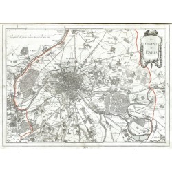
Reilly, Franz Johann Joseph von Des Schauplatzes Der Fünf Theile Der Welt...Catalog No.: 21590
France, Belgium and Germany. Reilly, F. J. J. von. ("Des Schauplatzes der Fünf Theile der Welt ... Enthält Frankreich in seiner jetzigen Ausdehnung"). Vienna: Reilly, 1806. An atlas w. 26 maps of French departments, Belgian provinces, German regions and a map of the environs of Paris. A total of 27 orig. copper-engravings coloured in outline. Each map ca....
10 000,00 KčFor sale -
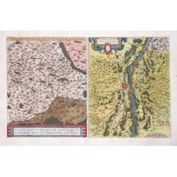
Ortelius, Abraham Upper Palatinate and Strasbourg (Rhine) -...Catalog No.: 00548
Upper Palatinate and Strasbourg (Rhine). "Palatinatus Bavariae Descriptio" and "Argentoratensis Agri Descriptio" Orig. copper-engraving, A Ortelius, 1584 after E. Reich resp. D. Speckel. Original old colouring. With two ornamental cartouches. Two maps on one...
6 200,00 KčFor sale -
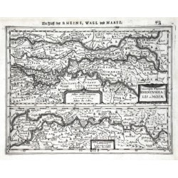
Janssonius, Johannes (author) Mercator, Gerardus (other authors) Descriptio Fluminum Rheni, Vahalis et MosaeCatalog No.: 05013
Germany (North Rhine-Westphalia) and the Netherlands. "Descriptio Fluminum Rheni, Vahalis et Mosae". Orig. copperplate engraving Mercator's Atlas Minor. Published by J. Janssonius in Amterdam, 1648-51. 15,5:20,5 cm.
2 500,00 KčFor sale -
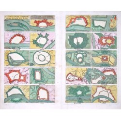
Danckerts, Cornelis D'Voornaamste Fortresse aen de Rivier den...Catalog No.: 04068
"D'Voornaamste Fortresse aen de Rivier den Rhyn". Copper-engraving. Original old colouring. Published by C. Danckerts in Amsterdam, ca. 1680. A set of engravings (each one ca. 9:13 cm) of 20 fortified German and Dutch cities lying by the river...
9 500,00 KčFor sale

