No products
World, Oceans, Poles and Celestial Maps
World, Oceans, Poles and Celestial Maps There are 44 items.
Subcategories
-
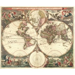
Visscher, Nicolaes Map of the World - Orbis Terrarum Nova et...Catalog No.: 26266
Map of the World. "Orbis Terrarum Nova et Accuratissima Tabula. Auctore Nicolao Visscher". Orig. copperplate engraving, N. Visscher. Published by J. Janssonius in Amsterdam, 1658. Orig. old colouring. 47:56 cm.
75 000,00 KčFor sale -
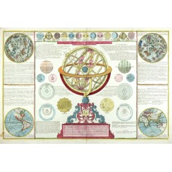
Desnos, Louis Charles La Sphere Artificielle ou Armilaire obliqueCatalog No.: 25635
Armillary sphere, stellar sky, planets. "La Sphere Artificielle ou Armilaire oblique". Orig. copperplate engraving, L. Ch. Desnos, Paris, 1766. Orig. old colouring. 44:67,5 cm.
21 000,00 KčFor sale -
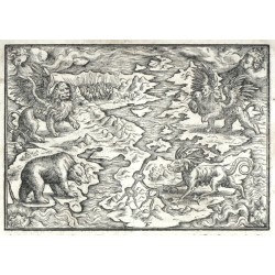
Terzio, Francesco Daniel's Dream MapCatalog No.: 25181
Map of the World. (Daniel's Dream Map). Original woodcut after F. Terzio's drawing (monogram 'TF' at thoe bottom of the map) from Czech Bible printed by J. Melantrich in Prague, 1570. 12,3:17,5 cm.
30 000,00 KčFor sale -
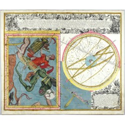
Seutter, Matthäus Cometa qui Anno Christi 1742. apparuitCatalog No.: 25136
Comet of 1742. "Cometa qui Anno Christi 1742. apparuit, ex Observationibus, a die 13 Marty usque ad 15 Aprilis, plusquam Vigesies quinquies institutis, qua ...". Orig. copperplate engraving, M. Seutter, 1743. Orig. old colouring. 50:59,5 cm.
45 000,00 KčFor sale -
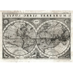
Merian, Matthäus Typus Orbis TerrarumCatalog No.: 25127
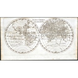
Map of the world in two hemispheres. "Typus Orbis Terrarum". Orig. copperplate engraving, M. Merian, 1641. From T. Garzoni's 'Piazza Universale'. With title at the top and symbols for the sun, moon and the four elements, along with Hebrew letters in the center. 17:25 cm.
15 000,00 KčFor sale -
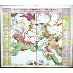
Doppelmayr, Johann Gabriel Globi Coelestis in Tabulas planas redacti...Catalog No.: 23914
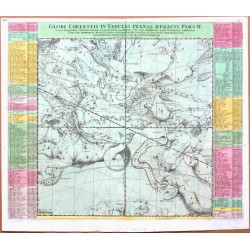
Constellations. Doppelmayr. "Globi Coelestis in Tabulas planas redacti Pars II.". Orig. copper-engraving from J. G. Doppelmayr's Atlas Coelestis. Published by J. B. Homann in Nuremberg, ca. 1720. Magnificent old colouring. A celestial map of 18...
24 000,00 KčFor sale -
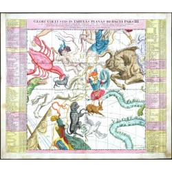
Doppelmayr, Johann Gabriel Globi Coelestis in Tabulas planas redacti...Catalog No.: 23913
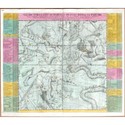
Constellations. Doppelmayr. "Globi Coelestis in Tabulas planas redacti Pars III.". Orig. copper-engraving from J. G. Doppelmayr's Atlas Coelestis. Published by J. B. Homann in Nuremberg, ca. 1720. Magnificent old colouring. A celestial map of 17...
24 000,00 KčFor sale -
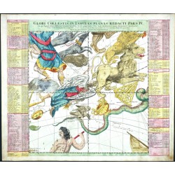
Doppelmayr, Johann Gabriel Globi Coelestis in Tabulas planas redacti...Catalog No.: 23912
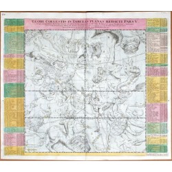
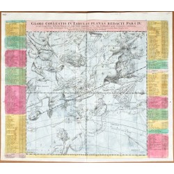
Constellations. Doppelmayr. "Globi Coelestis in Tabulas planas redacti Pars IV.". Orig. copper-engraving from J. G. Doppelmayr's Atlas Coelestis. Published by J. B. Homann in Nuremberg, ca. 1720. Magnificent old colouring. A celestial map of 16...
24 000,00 KčFor sale -
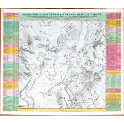
Doppelmayr, Johann Gabriel Globi Coelestis in Tabulas planas redacti...Catalog No.: 23910
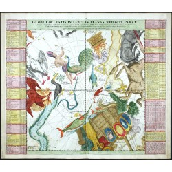
Constellations. Doppelmayr. "Globi Coelestis in Tabulas planas redacti Pars VI.". Orig. copper-engraving from J. G. Doppelmayr's Atlas Coelestis. Published by J. B. Homann in Nuremberg, ca. 1720. Magnificent old colouring. A celestial map of 21...
24 000,00 KčFor sale -
Seutter, Matthäus Planisphaerium CoelesteCatalog No.: 23898
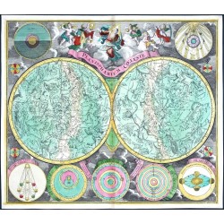
Celestial Chart. "Planisphaerium Coeleste". Orig. copper engraving, M. Seutter, Augsburg, ca. 1730. Orig. old colouring. With great figural title cartouche, depiction of Milky Way and constellations of Northern and Southern Skies. 50:58 cm.
30 000,00 KčFor sale -
Ortelius, Abraham Aevi Veteris, Typus GeographicusCatalog No.: 23895
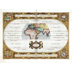
Ancient World. "Aevi Veteris, Typus Geographicus". Orig. copper-engraving, A. Ortelius after C. Ptloemy's map of the Ancient World, Antwerp, 1590. Orig. old colouring. A map of the ancient World with ornamental cartouche with Ortelius' address, surrounded by an ornamental border with two cartouches and 4 small inset maps in the corners. 31,5:44,5 cm.
17 000,00 KčFor sale -
Münster, Sebastian Die erst General Tafel ... des gantzen...Catalog No.: 23642
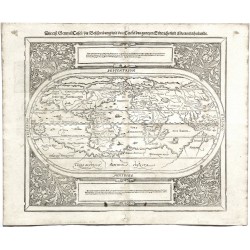
The World. "Die erst General Tafel ... des gantzen Erdtrichs und Meers innhaltende". Orig. woodcut from S. Münster's 'Cosmographey'. Published in Basle by S. Henricpetri, 1588. 31:36 cm (12 1/4 x 14 1/4 inch.).
30 000,00 KčFor sale -
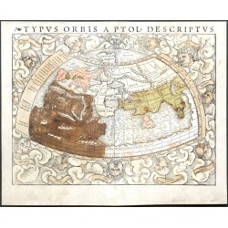
Münster, Sebastian Typus Orbis a Ptol. DescriptusCatalog No.: 22519
The World. "Typus Orbis a Ptol. Descriptus". Orig. woodcut, S. Münster after C. Ptolemy's map of the Ancient World. Orig. old coluring. Basle, H. Petri, 1540. With Latin title at the top and 12 classical windheads in the decorative region outside the map, each named....
20 000,00 KčFor sale -
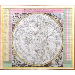
Doppelmayr, Johann Gabriel Hemisphaerium Coeli AustraleCatalog No.: 22216
Constellations. Doppelmayr. "Hemisphaerium Coeli Australe". Orig. copper-engraving from J. G. Doppelmayr's Atlas Coelestis. Published by J. B. Homann in Nuremberg, ca. 1720. Orig. old colouring. A chart of the southern hemisphere constellations ...
21 000,00 KčFor sale -
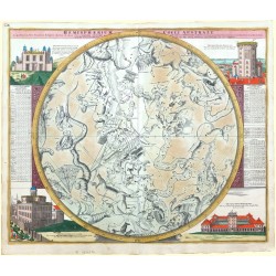
Doppelmayr, Johann Gabriel Hemisphaerium Coeli AustraleCatalog No.: 22215
Constellations. Doppelmayr. "Hemisphaerium Coeli Australe". Orig. copper-engraving from J. G. Doppelmayr's Atlas Coelestis. Published by J. B. Homann in Nuremberg, ca. 1720. Orig. old colouring. An oval chart of the of the constellationes of the southern sky. 49:58 cm.
21 000,00 KčFor sale -
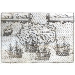
Lodewijcksz, Willem S HelenaCatalog No.: 21760
Saint Helena. "S Helena". Orig. copper-engraving from W. Lodewijcksz's (also Lodewycksz) "Premier Livre de l'Histoire de la Navigation aux Indes Orientales". Published by C. Clesz in Amsterdam, 1598. With engraved title in map. 14,5:21 cm.
10 000,00 KčFor sale -
Bry, Johann Theodor de Insula D. Helenae sacra ... S. Helena ist...Catalog No.: 21598
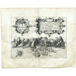
Saint Helena. "Insula D. Helenae sacra ... S. Helena ist eine Insel ...". Orig. copper-engraving by J. T. de Bry, published by M. Becker in Frankfurt a. Main, 1613. With ornamental title cartouche with Lat.-Ger. title, a coat-of-arms, a wind-rose and many ships in the foreground. 21,5:29 cm.
8 500,00 KčFor sale -
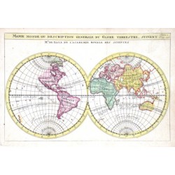
Chatelain, Henri Abraham Mappmonde ou Description Generale du Globe...Catalog No.: 20529
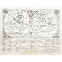
The World."Mappmonde ou Description Generale du Globe Terrestre". Orig. copper-engraving from H. Chatelain's Atlas Historique, published in Amsterdam, 1705. With ornamental border, depiction of the Sun and the Moon, a wind-rose and explanatory...
12 000,00 KčFor sale -
Lotter, Tobias Conrad Carte de Océan PacifiqueCatalog No.: 20445
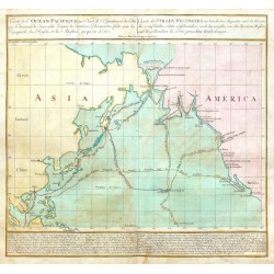
Pacific Ocean."Carte de Océan Pacifique au Nord de l'Equateur ... - Charte des Stillen Weltmeers im Nördlichen Aequator ...". Orig. copper-engraving, T. C. Lotter. Published in Augsburg by Lotter (family), 1781. Original old colouring. With...
18 000,00 KčFor sale -
Cluver, Philip Typus Orbis TerrarumCatalog No.: 20256
The World."Typus Orbis Terrarum". Orig. copper-engraving, 1661. P. Cluver's map of the World. Published in Wolfenbüttel by J. Buno, 1661. With title at the top. 15,5:30,2 cm (6 1/4 x 12 inch.).
6 000,00 KčFor sale -
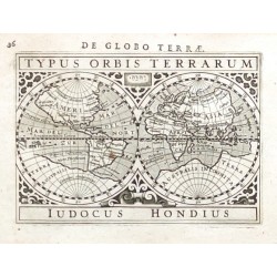
Bertius, Petrus Typus Orbis TerrarumCatalog No.: 19914
The World."Typus Orbis Terrarum". Orig. copper-engraving after J. Hondius' map. From P. Bertius' "Tabulae Geographicae ...". Published in Amsterdam by J. Hondius Jr., 1616/18. A map of the World in 2 hemispheres. With title at the top and...
10 500,00 KčFor sale -
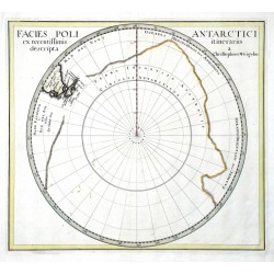
Weigel, Christoph der Ältere Facies Poli AntarcticiCatalog No.: 16584
South Pole (Antarctica). "Facies Poli Antarctici ex recentissimis itinerariis descripta". Orig. copperplate engraving, Ch. Weigel, Nuremberg, 1718. Orig. old colouring. With title in upper corners of the map. 32:36 cm (12 1/2 x 14 1/4 inch.).
12 000,00 KčFor sale -
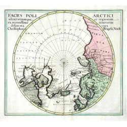
Weigel, Christoph der Ältere Facies Poli ArcticiCatalog No.: 16581
North Pole (Arctic). "Facies Poli Arctici adiacentiumque ei regionum ex recentissimis itinerariis delineata". Orig. copperplate engraving, Ch. Weigel, Nuremberg, 1718. Orig. old colouring. With title in upper corners of the map. 32:36 cm.
6 500,00 KčFor sale -
Doppelmayr, Johann Gabriel Globi Coelestis in Tabulas planas redacti...Catalog No.: 14880
Constellations. Doppelmayr. "Globi Coelestis in Tabulas planas redacti Pars VI.". Orig. copper-engraving from J. G. Doppelmayr's Atlas Coelestis. Published by J. B. Homann in Nuremberg, ca. 1720. Orig. old colouring. A celestial map of 21...
18 000,00 KčFor sale -
Doppelmayr, Johann Gabriel Globi Coelestis in Tabulas planas redacti...Catalog No.: 14877
Constellations. Doppelmayr. "Globi Coelestis in Tabulas planas redacti Pars V.". Orig. copper-engraving from J. G. Doppelmayr's Atlas Coelestis. Published by J. B. Homann in Nuremberg, ca. 1720. Orig. old colouring. A celestial map of 23...
18 000,00 KčFor sale -
Doppelmayr, Johann Gabriel Globi Coelestis in Tabulas planas redacti...Catalog No.: 14874
Constellations. Doppelmayr. "Globi Coelestis in Tabulas planas redacti Pars IV.". Orig. copper-engraving from J. G. Doppelmayr's Atlas Coelestis. Published by J. B. Homann in Nuremberg, ca. 1720. Orig. old colouring. A celestial map of 16...
18 000,00 KčFor sale -
Doppelmayr, Johann Gabriel Globi Coelestis in Tabulas planas redacti...Catalog No.: 14871
Constellations. Doppelmayr. "Globi Coelestis in Tabulas planas redacti Pars III.". Orig. copper-engraving from J. G. Doppelmayr's Atlas Coelestis. Published by J. B. Homann in Nuremberg, ca. 1720. Orig. old colouring. A celestial map of 17...
18 000,00 KčFor sale -
Doppelmayr, Johann Gabriel Globi Coelestis in Tabulas planas redacti...Catalog No.: 14868
Constellations. Doppelmayr. "Globi Coelestis in Tabulas planas redacti Pars II.". Orig. copper-engraving from J. G. Doppelmayr's Atlas Coelestis. Published by J. B. Homann in Nuremberg, ca. 1720. Orig. old colouring. A celestial map of 18...
18 000,00 KčFor sale -
Doppelmayr, Johann Gabriel Globi Coelestis in Tabulas planas redacti...Catalog No.: 14865
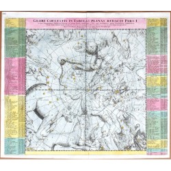
Constellations. Doppelmayr. "Globi Coelestis in Tabulas planas redacti Pars I.". Orig. copper-engraving from J. G. Doppelmayr's Atlas Coelestis. Published by J. B. Homann in Nuremberg, ca. 1720. Orig. old colouring. A celestial map of 17...
18 000,00 KčFor sale -
Doppelmayr, Johann Gabriel Hemisphaerium Coeli Boreale AustraleCatalog No.: 14856
Constellations. Doppelmayr. "Hemisphaerium Coeli Boreale". Orig. copper-engraving from J. G. Doppelmayr's Atlas Coelestis. Published by J. B. Homann in Nuremberg, ca. 1720. Orig. old colouring. An oval chart of the constellationes of the northern sky. 49:58 cm.
21 000,00 KčFor sale -
Ortelius, Abraham World and continents - Typus Orbis...Catalog No.: 14448
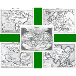
World and continents. "Typus Orbis Terrarum" + "Europa" + "Asia" + "Africa" + "America sive Novus Orbis". Orig. copperplate engravings from the French edition of A. Ortelius' Epitome, published in Antwerp by Plantin Press for F. Galle, 1598.
21 000,00 KčFor sale -
Bry, Theodor de The WorldCatalog No.: 14277
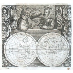
The World.Orig. copper-engraving by M. Merian after T. de Bry map of W. C. Schouten's voyage around the world. From J. L. Gottfried's "Historia Antipodum, oder Newe Welt". Published in Frankfurt am Main by Merian's Heirs, 1655. A map of the world...
9 500,00 KčFor sale -
Duval, Pierre Arctic, North Pole - Terres Arctiques,...Catalog No.: 14181
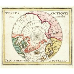
Arctic (North Pole). "Terres Arctiques dites autrement Setemtrionales et Boreales"". Orig. copperplate engraving, P. Duval, Paris, 1676. Original old colouring. 12,5:10 cm.
6 000,00 KčFor sale -
Delisle, Guillaume Mappe MondeCatalog No.: 14142
The World."Mappe Monde ou description generale du Globe Terrestre". Orig. copper-engraving after G. Delisle map of the World. Published in Paris, ca. 1700. Orig. old colouring. With title above the map. 14:21 cm (5 1/2 x 8 1/4 inch.).
6 500,00 KčFor sale -
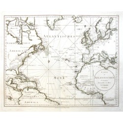
Schrämbl, Franz Anton Karte des Atlantischen OceansCatalog No.: 13968
Atlantic."Karte des Atlantischen Oceans". Orig. copper-engraving. Published in Vienna by F. A. Schraembl, 1788. Coloured in outline. With oval title-cartouche. 49:62 cm (19 1/4 x 24 1/2 inch.).
10 000,00 KčFor sale -
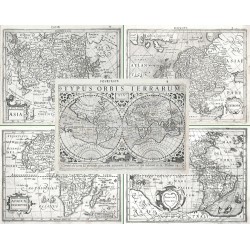
Hondius, Jodocus (author) Mercator, Gerardus (other authors) Typus Orbis Terrarum, Africae descriptio,...Catalog No.: 13923
The World and the Continents. "Typus Orbis Terrarum" + "Africae descriptio" + "Americae descrip." + "Asia" + "Europa". Orig. copperplate engravings after G. Mercator's maps published by J. Hondius in Amsterdam, 1609.
50 000,00 KčFor sale -
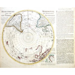
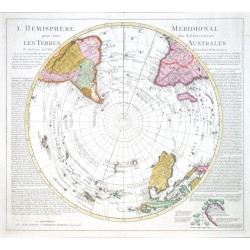
l'Isle, Guillaume de Hemisphere MeridionalCatalog No.: 13776
South Pole (Antarctica)."Hemisphere Meridional pour voir plus distinctement les Terres Australes". Orig copper-engraving after G de l'Isle's map. Publisehd in Amsterdam by R. & J. Ottens, ca. 1740. With French title, small inset map of the Bouvet...
12 500,00 KčFor sale -
Doppelmayr, Johann Gabriel Sphaera MundiCatalog No.: 11988
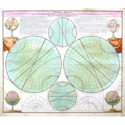
Doppelmayr."Sphaera Mundi Per circulos tam primarios quam secundarios ... exhibita". Orig. copper-engraving from J. G. Doppelmayr's Atlas Coelestis. Published by J. B. Homann in Nuremberg, ca. 1740. Orig. old colouring. With 4 globes in the...
10 000,00 KčFor sale -
Bodenehr, Gabriel Carta Hydrohraphica oder Algemeine Welt...Catalog No.: 10713
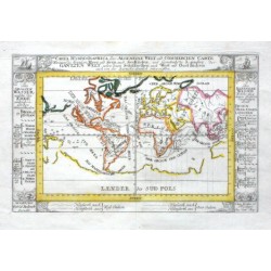
The World."Carta Hydrohraphica oder Algemeine Welt und Commercien Carte". Orig. copper-engraving. Published by G. Bodenehr (1664-1758) in Augsburg, ca. 1720. Orig. old colouring. With title and description of the oceans and seas in decorative...
5 400,00 KčFor sale -
Bodenehr, Gabriel Der Neuen Welt Begriff. Bestehend in Der...Catalog No.: 10710
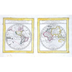
The World. "Der Neuen Welt Begriff. Bestehend in 2 Haubt Theilen als Nord America und Sud America. Der Alte Welt Begriff bestehend in 3 Haubt Theilen als Africa, Europa, Asia". Orig., old coloured copper-engraving by G. Bodenehr (1664-1758),...
6 000,00 KčFor sale -
Hipschmann, Sigismund Map of the WorldCatalog No.: 10617
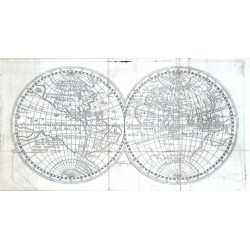
The World. Orig. copper-engraving by S. Hipschmann. Published in B. W. Seywald's "Welt-Spiegel" in Nürnberg by J. Hoffmann, 1673. With engraver's name at the lower middle part of the map. 14,5:27,5 cm (5 3/4 x 10 3/4 inch.).
6 000,00 KčFor sale -
l'Isle, Guillaume de L'Hemisphere MeridionalCatalog No.: 10572
South Pole (Antarctica)."L'Hemisphere Meridional pour voir plus distinctemente les Terres Australes". Orig copper-engraving after G de l'Isle's map. Publisehd in Amsterdam by J. Covens and C. Mortier, ca. 1740. With engraved title, French-Dutch...
16 000,00 KčFor sale -
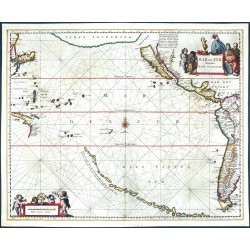
Jansson, Joan Mar del Zur Hispanis Mare PacificumCatalog No.: 10569
Pacific Ocean. "Mar del Zur Hispanis Mare Pacificum". Orig. copper-engraving. Published in Amsterdam by J. Janssonius, 1650. Orig. old colouring. With figure title-cartouche, ornamental cartouche with 4 cherubs and the scale of map ("Milliaria...
48 000,00 KčFor sale -
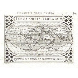
Bertius, Petrus Typus Orbis TerrarumCatalog No.: 01461
The World."Typus Orbis Terrarum". Orig. copper-engraving, P. Bertius. Published by J. Hondius Jun. in Amsterdam, 1616/18. With latin title above the map ("Descriptio Orbis Nostra"), title-cartouche and ornamental margins. 9,5:13,5 cm (3 3/4 x 5...
10 000,00 KčFor sale

