No products
Middle East
Middle East
Middle East There are 14 items.
Subcategories
-
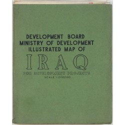
Rifaat, A. Karim Development Board Ministry of Develpment...Catalog No.: 24706
Iraq - pictorial map. "Development Board Ministry of Develpment Illustrated Map of Iraq for Development Projects". Compiled by A. Karim Rifaat. Published by Survey Press in Baghdad, ca. 1955. 117:95 cm.
6 000,00 KčFor sale -
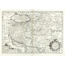
Mercator, Gerardus Persici vel Sophorum Regni typusCatalog No.: 24490
Iran, Afghanistan, Pakistan. "Persici vel Sophorum Regni typus". Orig. copperplate engraving from Mercator - Hondius Atlas. Published by H. Hondius and J. Janssonius in Amsterdam 1633 (first ed. 1606). With ornament. titel cartouche and a cartouche with the scale of map. 35:50,5 cm.
9 000,00 KčFor sale -
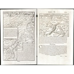
Münster, Sebastian In monte CasioCatalog No.: 20331
Cyprus and Israel. "In monte Casio iuxta Ostracinam ..." (Cyprus with Israel). Orig. woodblock from S. Münster's 'Cosmographiae Universalis'. Cutted by Hans Rudolf Manuel Deutsch (monogram lower right). Published in Basel by H. Petri, 1550. With...
3 500,00 KčFor sale -
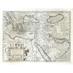
Hondius, Jodocus Turcici Imperii ImagoCatalog No.: 23462
Middle East. "Turcici Imperii Imago". Orig. copper-engraving, J. Hondius, 1606. Published by H. Hondius, 1630. With decorative title-cartouche. 36:48,5 cm.
15 000,00 KčFor sale -
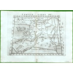
Ruscelli, Girolamo (author) Ptolemy, Claudius (other authors) Tabula Asiae IIIICatalog No.: 17220
Syria, Israel, Jordan and Cyprus. "Tabula Asiae IIII". Orig. copper-engraving from G. Ruscelli's edition of Ptolemy's Geography. Published in Venice by G. Ziletti, 1562. With title above the map. 19:25 cm (7 1/2 x 9 3/4 inch.).
6 000,00 KčFor sale -
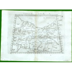
Ruscelli, Girolamo (author) Ptolemy, Claudius (other authors) Tabula Asiae VCatalog No.: 17217
Persia (Iran and Iraq). "Tabula Asiae V". Orig. copper-engraving from G. Ruscelli's edition of Ptolemy's Geography. Published in Venice by G. Ziletti, 1562. With title above the map. 19:25 cm (7 1/2 x 9 3/4 inch.).
2 500,00 KčFor sale -
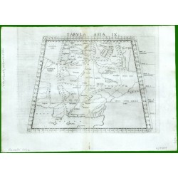
Ruscelli, Girolamo (author) Ptolemy, Claudius (other authors) Tabula Asiae IXCatalog No.: 17211
Iran, Afghanistan and Pakistan. "Tabula Asiae IX". Orig. copper-engraving from G. Ruscelli's edition of Ptolemy's Geography. Published in Venice by G. Ziletti, 1562. With title above the map. 18,5:24 cm (7 1/4 x 9 1/2 inch.).
2 500,00 KčFor sale -
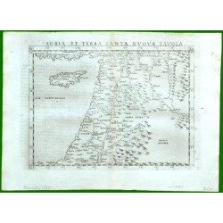
Ruscelli, Girolamo Soria et Terra Sancta Nvova TavolaCatalog No.: 17151
"Soria et Terra Sancta Nuova Tavola". Orig. copper-engraving from G. Ruscelli's edition of Ptolemy's Geography. Published in Venice by G. Ziletti, 1562. With title above the map. 19:24,5 cm (7 1/2 x 9 3/4 inch.).
7 500,00 KčFor sale -
Ortelius, Abraham Ottoman Empire - Turcicum ImperiumCatalog No.: 15993
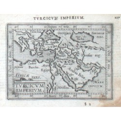
Ottoman Empire. "Turcicum Imperium". Orig. copper-engraving from the Latin edition of A. Ortelius' Epitome. Published by J. B. Vrients in Antwerp, 1609. With ornamental title-cartouche and Latin title above the map. 9:12 cm (3 1/2 x 4 3/4 inch.).
2 500,00 KčFor sale -
Janssonius, Johannes Syriae sive Soriae. Nova et Accurata...Catalog No.: 14049
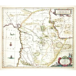
Syria and Libanon. "Syriae sive Soriae. Nova et Accurata descriptio". Orig. copperplate engraving, J. Janssonius, Amsterdam, 1664. Orig. old colouring. 44:52 cm.
15 000,00 KčFor sale -
Montanus, Arnoldus Tripolis in SyrienCatalog No.: 11502
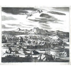
"Tripolis in Syrien". Orig. copper-engraving from J. Ogilby's "Africa". Published in Leiden, 1668. With decorative title-cartouche, many figures and boats in the foreground and explanatory notes (1.-5-) below the picture. 30:36 cm (11 3/4 x 14...
4 500,00 KčFor sale -
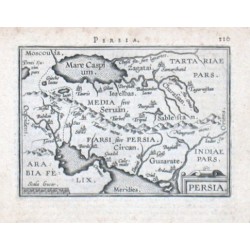
Ortelius, Abraham PersiaCatalog No.: 08853
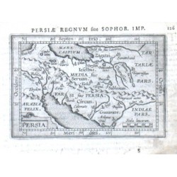
Persia. "Persia". Orig. copper-engraving from A. Ortelius' "Epitome", published in Antwerp by J. B. Vrienst, 1609. With ornamental title-cartouche, a cartouche with the scale of map ("Scala leucarum") and Latin heading-title. 8,5:12,5 cm (3 1/2 x 5 inch.).
2 000,00 KčFor sale -
Ortelius, Abraham PersiaCatalog No.: 08850
Persia. "Persia". Orig. copper-engraving from A. Ortelius' French ed. of his "Epitome", published in Antwerp by J. B. Vrienst, 1602. With ornamental title-cartouche, a cartouche with the scale of map ("Scala leucar.") and French heading-title. 7,5:11 cm...
2 000,00 KčFor sale -
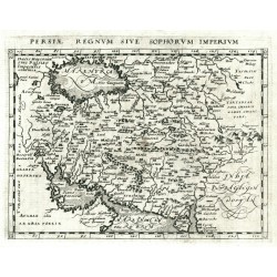
Magini, Giovanni Antonio (author) Porro, Girolamo (other authors) Persiae Regnum Sive Sophorum ImperiumCatalog No.: 02799
Iran. "Persiae Regnum Sive Sophorum Imperium". Orig. copperplate engraving from G. Magini's 'Geographiae Universae'. Engraved by G. Porro. Published by P. Keschedt in Cologne, 1597. 12,5:17 cm.
2 800,00 KčFor sale

