No products
Eastern and Southeastern Europe, Balkan
Eastern and Southeastern Europe, Balkan There are 87 items.
Subcategories
-
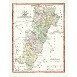
Görög, Demeter (author) Berken von Ottendorff, Johann (other authors) Southwestern Romania - Krassó Vármegye -...Catalog No.: 26629
Southwestern Romania. "Krassó Vármegye". Orig. copperplate engraving, D. Görög, Mágyár Atlas, 1802. Orig. old colouring. With decorative title. 29:22 cm.
1 800,00 KčFor sale -
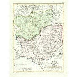
Görög, Demeter (author) Benedicti (Benedikti), Hieronymus (other authors) Southwestern Ukraine - Ugotsa Vármegye -...Catalog No.: 26628
Southwestern Ukraine. "Ugotsa Vármegye". Orig. copperplate engraving, D. Görög, Mágyár Atlas, 1802. Orig. old colouring. With decorative title. 29:21,5 cm.
1 800,00 KčFor sale -
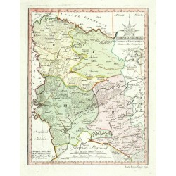
Görög, Demeter (author) Berken von Ottendorff, Johann (other authors) Serbia, Romania - Torontál Vármegye -...Catalog No.: 26627
Northern Serbia, western Romania. "Torontál Vármegye". Orig. copperplate engraving, D. Görög, Mágyár Atlas, 1802. Orig. old colouring. With decorative title. 29,5:22 cm.
1 800,00 KčFor sale -
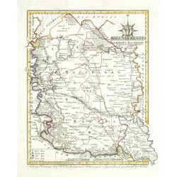
Görög, Demeter (author) Benedicti (Benedikti), Hieronymus (other authors) Serbia - Bács Vármegye - mapa, mědirytina,...Catalog No.: 26626
Northwestern Serbia "Bács Vármegye". Orig. copperplate engraving, D. Görög, Mágyár Atlas, 1802. Orig. old colouring. With decorative title. 30:25 cm.
1 800,00 KčFor sale -
Görög, Demeter (author) Benedicti (Benedikti), Hieronymus (other authors) Hungary - Vas County - copperplate map,...Catalog No.: 26625
Hungary - Vas County. "Vas Vármegye". Orig. copperplate engraving, D. Görög, Mágyár Atlas, 1802. Orig. old colouring. With decorative title. 23:29 cm.
1 800,00 KčFor sale -
Görög, Demeter (author) Berken von Ottendorff, Johann (other authors) Hungary - Heves and Jász-Nagykun-Szolnok...Catalog No.: 26624
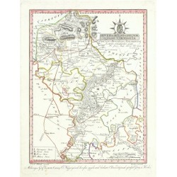
Hungary - Heves and Jász-Nagykun-Szolnok Counties. "Heves és Külsö-Szólnok egyesült Vármegyék". Orig. copperplate engraving, D. Görög, Mágyár Atlas, 1802. Orig. old colouring. With decorative title. 31:24,5 cm.
1 800,00 KčFor sale -
Görög, Demeter (author) Berken von Ottendorff, Johann (other authors) Hungary - Baranya County - copperplate...Catalog No.: 26623
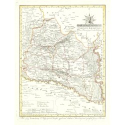
Hungary - Baranya County. "Baranya Vármegye. Comitatus Baranyensis". Orig. copperplate engraving, D. Görög, Mágyár Atlas, 1802. Orig. old colouring. With decorative title. 30:22,5 cm.
1 800,00 KčFor sale -
Görög, Demeter (author) Berken von Ottendorff, Johann (other authors) Hungary - Csongrád County - copperplate...Catalog No.: 26622
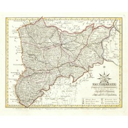
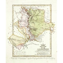
Hungary - Csongrád County. "Csongrád Vármegye. Comitatus Csonsgradiensis". Orig. copperplate engraving, D. Görög, Mágyár Atlas, 1802. Orig. old colouring. With decorative title. 30:26 cm.
1 800,00 KčFor sale -
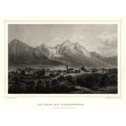
Hablitschek, Franz (author) Rohbock, L. (other authors) Veľký Slavkov, Tatry, Die Tatra mit...Catalog No.: 26569
Veľký Slavkov, Tatry. "Die Tatra mit Schlagendorf". Pův. ocelorytina. Podle L. Rohbockovy kresby ryl F. Hablitschek. Vyd. G. G. Lange v Darmstadtu, 1860. S něm. titulem pod obrázkem. 12,5:18,5 cm (obrázek).
900,00 KčFor sale -
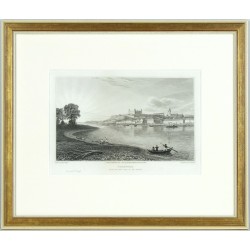
Radclyffe, William (author) Batty, Robert (other authors) Bratislava - Presburg, ocelorytina, 1823Catalog No.: 26563
Bratislava. "Presburg". Původní ocelorytina, Rodwell & Martin, Londýn, 1823. S figurami v popředí a anglickým názvem pod obrázkem. 13:21 cm.
3 000,00 KčFor sale -
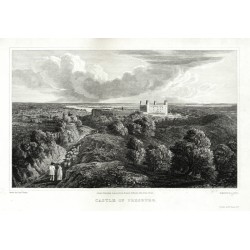
(author) Batty, Robert (other authors) Bratislava - Bratislavský hrad - Castle of...Catalog No.: 26562
Bratislava. Bratislavský hrad. "Castle of Presburg". Původní ocelorytina, Rodwell & Martin, Londýn, 1822. S figurami v popředí a anglickým názvem pod obrázkem. 13:21 cm.
1 800,00 KčFor sale -
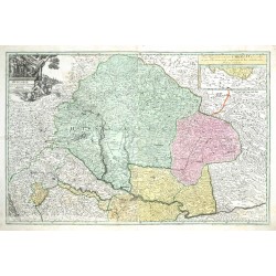
Weigel, Christoph der Ältere Hungaria cum adiacentibus ProvinciisCatalog No.: 26514
Southeast Europe. "Hungaria cum adiacentibus Provinciis". Orig. copperplate engraving, Ch. Weigel, Nuremberg, 1718. With figure title cartouche and a cartouche with inset chart. Printed of 2 plates, joined. 40:60,5 cm.
5 400,00 KčFor sale -
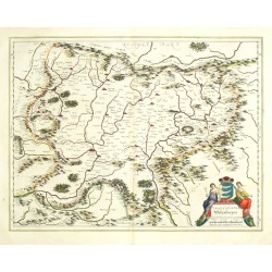
Blaeu, Willem Janszoon Transylvania SibenburgenCatalog No.: 26448
Transylvania. "Transylvania Sibenburgen". Orig. copperplate engraving, W. J. Blaeu, 1634. Published by W. and J. Blaeu in Amsterdam, 1644. Orig. old colouring. With a figure title cartouche with coat of arms and scale of the map. 38:50 cm.
6 200,00 KčFor sale -
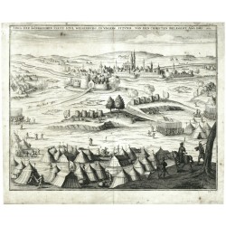
Khevenhüller, Franz Christoph von Abris der ... Statt Stul Weisenburg ... 1601Catalog No.: 26355
Székesfehérvár. "Abris der ... Statt Stul Weisenburg ... 1601". Orig. copperplate engraving, ca. 1640. From F. Ch. Khevenhüller, 'Annales Ferdinandei', Leipzig, Weidmann, 1722. 30:38 cm.
3 600,00 KčFor Sale -
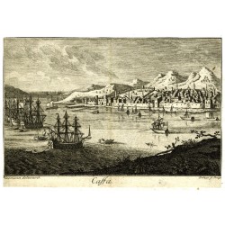
Balzer, Jan Jiří (author) Kleemann, Nikolaus Ernst (other authors) CaffaCatalog No.: 26332
Feodosia (Crimea). "Caffa". Orig. copperplate engraving, Prague, Schönfeld, 1783. Engraved by J. G. Balzer after N. E. Kleemann's drawing. With engraved title under the picture. 12,5:19,5 cm (the picture).
2 100,00 KčFor sale -
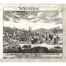
Krekwitz, Georg WeitzenCatalog No.: 26030
Vác. "Weitzen". Orig. copperplate engraving from G. Krekwitz "Totius Regni Hungariae ... Descriptio". Published in Frankfurt am Main and Nuremberg by L. Loschge, 1686. With engraved title. 7,5:8,5 cm.
750,00 KčFor sale -
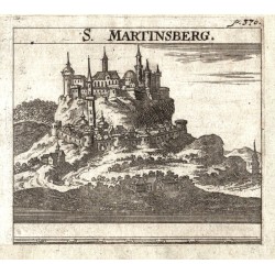
Krekwitz, Georg S. MartinsbergCatalog No.: 26032
Pannonhalma. "S. Martinsberg". Orig. copperplate engraving from G. Krekwitz "Totius Regni Hungariae ... Descriptio". Published in Frankfurt am Main and Nuremberg by L. Loschge, 1686. With engraved title. 7,5:8,7 cm.
750,00 KčFor sale -
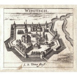
Krekwitz, Georg WihitschCatalog No.: 26029
Bihać. "Wihitsch". Orig. copperplate engraving from G. Krekwitz "Totius Regni Hungariae ... Descriptio". Published in Frankfurt am Main and Nuremberg by L. Loschge, 1686. With engraved title. 7,3:8,6 cm.
600,00 KčFor sale -
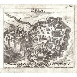
Krekwitz, Georg ErlaCatalog No.: 26026
Eger. "Erla". Orig. copperplate engraving from G. Krekwitz "Totius Regni Hungariae ... Descriptio". Published in Frankfurt am Main and Nuremberg by L. Loschge, 1686. With engraved title. 7,5:8,7 cm.
750,00 KčFor sale -
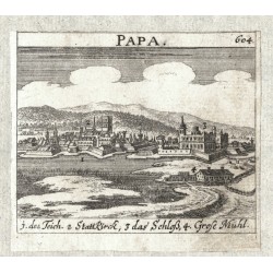
Krekwitz, Georg PapaCatalog No.: 26005
Pápa. "Papa". Orig. copperplate engraving from G. Krekwitz "Totius Regni Hungariae ... Descriptio". Published in Frankfurt am Main and Nuremberg by L. Loschge, 1686. With engraved title. 7,3:8,7 cm.
750,00 KčFor sale -
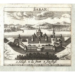
Krekwitz, Georg SabazCatalog No.: 25990
Šabac. "Sabaz". Orig. copperplate engraving from G. Krekwitz "Totius Regni Hungariae ... Descriptio". Published in Frankfurt am Main and Nuremberg by L. Loschge, 1686. With engraved title. 7,5:8,7 cm.
600,00 KčFor sale -
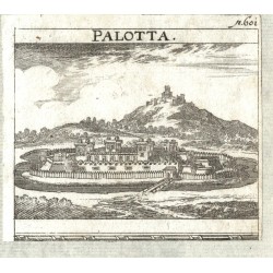
Krekwitz, Georg PalottaCatalog No.: 25988
Várpalota. "Palotta". Orig. copperplate engraving from G. Krekwitz "Totius Regni Hungariae ... Descriptio". Published in Frankfurt am Main and Nuremberg by L. Loschge, 1686. With engraved title. 7,5:8,7 cm.
600,00 KčFor sale -
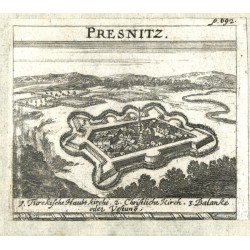
Krekwitz, Georg PresnitzCatalog No.: 25987
Berzence. "Presnitz". Orig. copperplate engraving from G. Krekwitz "Totius Regni Hungariae ... Descriptio". Published in Frankfurt am Main and Nuremberg by L. Loschge, 1686. With engraved title. 7,5:8,7 cm.
600,00 KčFor sale -
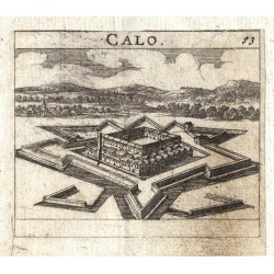
Krekwitz, Georg CaloCatalog No.: 25986
Nagykálló. "Calo". Orig. copperplate engraving from G. Krekwitz "Totius Regni Hungariae ... Descriptio". Published in Frankfurt am Main and Nuremberg by L. Loschge, 1686. With engraved title. 7,2:8,5 cm.
600,00 KčFor sale -
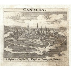
Krekwitz, Georg CanischaCatalog No.: 25984
Nagykanizsa. "Canischa". Orig. copperplate engraving from G. Krekwitz "Totius Regni Hungariae ... Descriptio". Published in Frankfurt am Main and Nuremberg by L. Loschge, 1686. With engraved title. 7,3:8,6 cm.
600,00 KčFor sale -
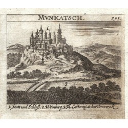
Krekwitz, Georg MunkatschCatalog No.: 25983
Mukachevo. "Munkatsch". Orig. copperplate engraving from G. Krekwitz "Totius Regni Hungariae ... Descriptio". Published in Frankfurt am Main and Nuremberg by L. Loschge, 1686. With engraved title. 7,3:8,7 cm.
1 200,00 KčFor sale -
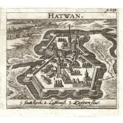
Krekwitz, Georg HatwanCatalog No.: 25982
Hatvan. "Hatwan". Orig. copperplate engraving from G. Krekwitz "Totius Regni Hungariae ... Descriptio". Published in Frankfurt am Main and Nuremberg by L. Loschge, 1686. With engraved title. 7,5:8,7 cm.
600,00 KčFor sale -
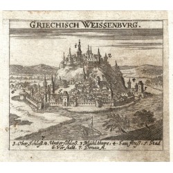
Krekwitz, Georg Griechisch WeissenburgCatalog No.: 25981
Belgrade. "Griechisch Weissenburg". Orig. copperplate engraving from G. Krekwitz "Totius Regni Hungariae ... Descriptio". Published in Frankfurt am Main and Nuremberg by L. Loschge, 1686. With engraved title. 7,3:8,6 cm.
900,00 KčFor sale -
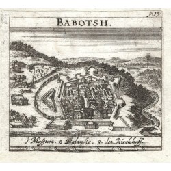
Krekwitz, Georg BabotshCatalog No.: 25975
Babócsa. "Babotsh". Orig. copperplate engraving from G. Krekwitz "Totius Regni Hungariae ... Descriptio". Published in Frankfurt am Main and Nuremberg by L. Loschge, 1686. With engraved title. 7,5:8,6 cm.
600,00 KčFor sale -
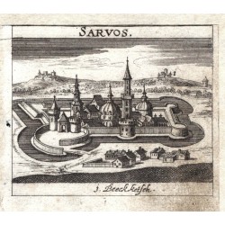
Krekwitz, Georg SarvosCatalog No.: 25974
Szarvas. "Sarvos". Orig. copperplate engraving from G. Krekwitz "Totius Regni Hungariae ... Descriptio". Published in Frankfurt am Main and Nuremberg by L. Loschge, 1686. With engraved title. 7,3:8,7 cm.
600,00 KčFor sale -
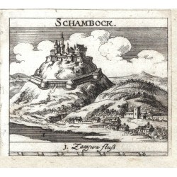
Krekwitz, Georg SchambockCatalog No.: 25973
Zsámbék. "Schambock". Orig. copperplate engraving from G. Krekwitz "Totius Regni Hungariae ... Descriptio". Published in Frankfurt am Main and Nuremberg by L. Loschge, 1686. With engraved title. 7,5:8,5 cm.
600,00 KčFor sale -
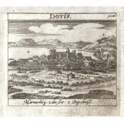
Krekwitz, Georg DotisCatalog No.: 25967
Tata. "Dotis". Orig. copperplate engraving from G. Krekwitz "Totius Regni Hungariae ... Descriptio". Published in Frankfurt am Main and Nuremberg by L. Loschge, 1686. With engraved title. 7,4:8,6 cm.
600,00 KčFor sale -
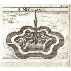
Krekwitz, Georg S. NicolausCatalog No.: 25832
Törökszentmiklós. "S. Nicolaus". Orig. copperplate engraving from G. Krekwitz "Totius Regni Hungariae ... Descriptio". Published in Frankfurt am Main and Nuremberg by L. Loschge, 1686. With engraved title. 7,5:8,5 cm.
600,00 KčFor sale -
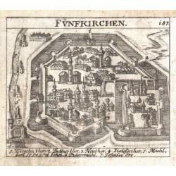
Krekwitz, Georg FünfkirchenCatalog No.: 25831
Pécs. "Fünfkirchen". Orig. copperplate engraving from G. Krekwitz "Totius Regni Hungariae ... Descriptio". Published in Frankfurt am Main and Nuremberg by L. Loschge, 1686. With engraved title. 7,5:8,5 cm.
600,00 KčFor sale -
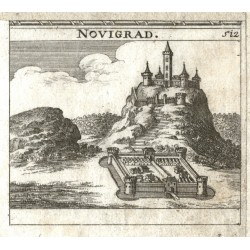
Krekwitz, Georg NovigradCatalog No.: 25823
Novigrad. "Novigrad". Orig. copperplate engraving from G. Krekwitz "Totius Regni Hungariae ... Descriptio". Published in Frankfurt am Main and Nuremberg by L. Loschge, 1686. With engraved title. 7,5:8,5 cm.
600,00 KčFor sale -
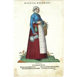
Amman, Jost Rustica UngaricaCatalog No.: 19245
Jost Amman. "Rustica Ungarica. Ein Ungarische Bäwrin". Orig. woodcut, J. Amman from the first edition of his work 'Habitus praecipuorum populorum ...'. Published by H. Weigel in Nuremberg, 1577. 23:17 cm.
4 000,00 KčFor sale -
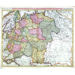
Valck, Gerard Russia Alba, sive MoscoviaCatalog No.: 20418
Russia. "Russia Alba, sive Moscovia". Orig. copperplate engraving, G. and L. Valck, Amsterdam, ca. 1700. Original old colouring. With title above the map. 48,5:59 cm.
6 500,00 KčFor sale -
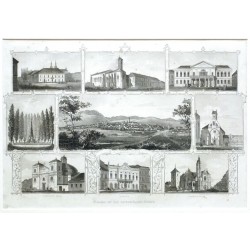
Reschka Kaschau und seine merkwürdigsten GebäudeCatalog No.: 25092
Košice. "Kaschau und seine merkwürdigsten Gebäude". Pův. ocelorytina. Ryl Reschka. Vyd. Lloyd v Terstu, ca. 1850. 20,5:30,5 cm.
1 800,00 KčFor sale -
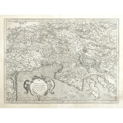
Mercator, Gerardus Forum Iulium, Karstia, Carniola, Histria...Catalog No.: 25084
Friuli, Slovenia, Istria. "Forum Iulium, Karstia, Carniola, Histria et Windorum Marchia". Orig. coppreplate engraving after G. Mercator's map of the region. Published by H. Hondius in Amsterdam, 1630. 34,5:47 cm.
7 800,00 KčFor sale -
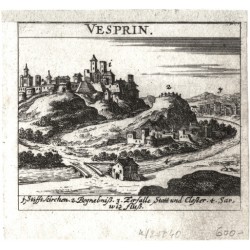
Krekwitz, Georg VesprinCatalog No.: 25040
Veszprém. "Vesprin". Orig. copperplate engraving from G. Krekwitz "Totius Regni Hungariae ... Descriptio". Published in Frankfurt am Main and Nuremberg by L. Loschge, 1686. With engraved title. 7,5:8,5 cm.
600,00 KčFor sale -
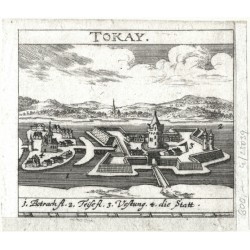
Krekwitz, Georg TokayCatalog No.: 25039
Tokaj. "Tokay". Orig. copperplate engraving from G. Krekwitz "Totius Regni Hungariae ... Descriptio". Published in Frankfurt am Main and Nuremberg by L. Loschge, 1686. With engraved title. 7,5:8,5 cm.
600,00 KčFor sale -
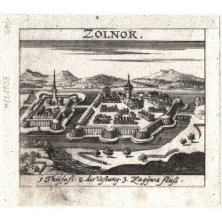
Krekwitz, Georg ZolnokCatalog No.: 25038
Szolnok. "Zolnok". Orig. copperplate engraving from G. Krekwitz "Totius Regni Hungariae ... Descriptio". Published in Frankfurt am Main and Nuremberg by L. Loschge, 1686. With engraved title. 7,5:8,5 cm.
600,00 KčFor sale -
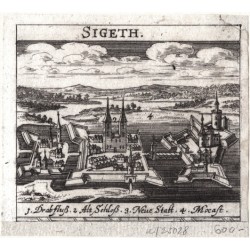
Krekwitz, Georg SigethCatalog No.: 25028
Szigetvár. "Sigeth". Orig. copperplate engraving from G. Krekwitz "Totius Regni Hungariae ... Descriptio". Published in Frankfurt am Main and Nuremberg by L. Loschge, 1686. With engraved title. 7,5:8,5 cm.
600,00 KčFor sale -
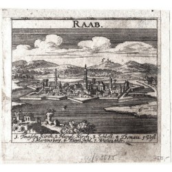
Krekwitz, Georg RaabCatalog No.: 25025
Győr. "Raab". Orig. copperplate engraving from G. Krekwitz "Totius Regni Hungariae ... Descriptio". Published in Frankfurt am Main and Nuremberg by L. Loschge, 1686. With engraved title. 6,7:8,6 cm.
750,00 KčFor sale -
Dumont, Jean Plan de Temiswar. Plaan van TemiswarCatalog No.: 24817
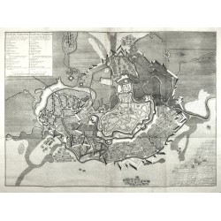
Timișoara. "Plan de Temiswar. Plaan van Temiswar". Orig. copperplate engraving from J. Dumont's 'Batailles gagnées par ... prince Fr. Eugène de Savoye', Den Haag, 1725. With Fr.-Dutch title-cartouche with explanatory notes (A.-V.). Printed from 4 plates, joined. 68,5:93,5 cm.
10 500,00 KčFor sale -
Bertius, Petrus TranssilvaniaCatalog No.: 24728
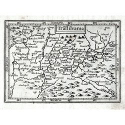
Transylvania (Romania). "Trãssilvania". Orig. copperplate engraving from P. Bertius' "Tabulae Geographicae Contractae". Published by J. Hondius in Amsterdam, 1616-18. 9,5:13,5 cm.
2 100,00 KčFor sale -
Bertius, Petrus HungariaCatalog No.: 24726
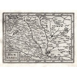
Hungary. "Hungaria". Orig. copperplate engraving from P. Bertius' "Tabulae Geographicae Contractae". Published by J. Hondius in Amsterdam, 1616-18. 9,5:13,5 cm.
2 100,00 KčFor sale -
Bertius, Petrus IllyricumCatalog No.: 24722
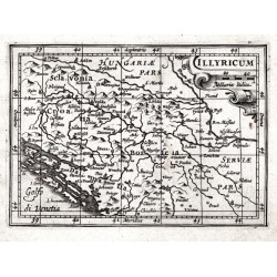
Serbia, Bosnia, Slovenia, Croatia. "Illyricum". Orig. copperplate engraving from P. Bertius' "Tabulae Geographicae Contractae". Published by J. Hondius in Amsterdam, 1616-18. With ornamental title cartouche. 9,3:13,2 cm.
1 500,00 KčFor sale -
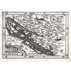
Bertius, Petrus LiburniaCatalog No.: 24721
Croatia - Dalmatia (Šibenik and Zadar). "Liburnia". Orig. copperplate engraving from P. Bertius' "Tabulae Geographicae Contractae". Published by J. Hondius in Amsterdam, 1616-18. With ornamental title cartouche. 9,2:13,1 cm.
1 800,00 KčFor sale -
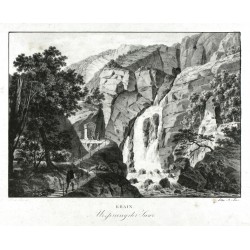
Kunike, Adolph Friedrich (author) Saar, Alois von (other authors) Krain. Ursprung der SaweCatalog No.: 24720
Slovenia. Carniola. The source of Sava. "Krain. Ursprung der Sawe". Orig. lithography from A. Kunike's 'Malerische Ansichten', ca. 1830. Based on B. de Ben's drawing, lithographed by A. von Saar. With figures in the foreground and German title under the picture. 25:36 cm.
1 500,00 KčFor sale

