No products
Eastern and Southeastern Europe, Balkan
Eastern and Southeastern Europe, Balkan There are 87 items.
Subcategories
-
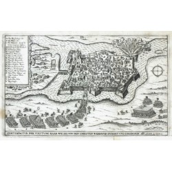
Oertel, Hieronymus Conterfactur der Voestung Raab wie die ......Catalog No.: 24381
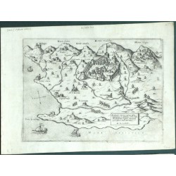
Győr. "Conterfactur der Voestung Raab wie die ... eröbert ... 1598". Orig. copperplate engraving from H. Oertel's 'Chronologia Oder ...'. Published by J. Siebmacher in Nuremberg, 1602. With engraved title and an ornamental cartouche with explanatory notes. 16,5:26,5 cm.
5 400,00 KčFor sale -
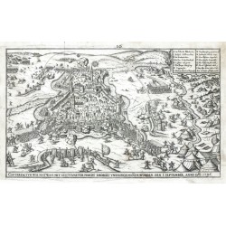
Oertel, Hieronymus Conterfactur wie Hatwan ... eröbert ......Catalog No.: 24380
Hatvan. "Conterfactur wie Hatwan ... eröbert ... worden ... 1596". Orig. copperplate engraving from H. Oertel's 'Chronologia Oder ...'. Published by J. Siebmacher in Nuremberg, 1602. With engraved title and an ornamental cartouche with explanatory notes. 16:26,5 cm.
5 400,00 KčFor sale -
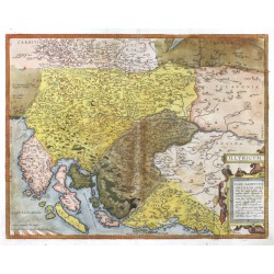
Ortelius, Abraham Dalmatia - IllyricumCatalog No.: 24086
Serbia, Croatia, Slovenia, Bosnia and Herzegovina. "Illyricum". Orig. copper-engraving, A. Ortelius, Antwerp, 1572 after J. Sambucus' map. Orig. old colouring. With ornamental title-cartouche. 37:48 cm.
10 500,00 KčFor sale -
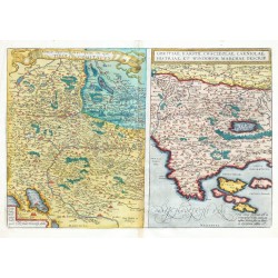
Ortelius, Abraham Rhetiae alpestris descriptio ... Tirolis...Catalog No.: 23900
Tyrol, Slovenia and Croatia. "Rhetiae alpestris descriptio, in qua hodie Tirolis Comitatus." [together with] "Goritiae, Karstii, Chaczeolae, Carniolae, Histriae, et Windorum Marchae descrip.". Orig. copper engraving, A. Ortelius, 1573. 34:50 cm.
8 500,00 KčFor sale -
Homann Heirs Regnum Bosniae ... Regni Serviae ...Catalog No.: 23051
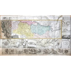
Bosnia, Serbia. "Regnum Bosniae, una cum finitimis Croatiae, Dalmatiae ... Regni Serviae ...". Orig. copper-egraving, Homann Heirs, 1739. Orig. old colouring. With title at the top. The map is surrounded by 25 city plans/views. With map overlap on the left. Printed from 5 plates, joined. 60:110 cm.
20 000,00 KčFor sale -
Homann, Johann Baptist Tabula Ducatus Carnioliae Vindorum...Catalog No.: 22863
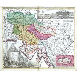
Slovenia. "Tabula Ducatus Carnioliae Vindorum Marchiae et Histriae". Orig. copper-engraving after J. V. Valvasor's map of the region. Published by J. B. Homann, Nuremberg, ca. 1720. Original old colouring. With great figure and heraldic tile-cartouche, small inset map of Cerknica Lake (10:14,5 cm) and inset view of Ljubljana ("Prospect der St. Laybach...
10 500,00 KčFor sale -
Sauerbrunbn bei Rohitsch und UmgebungCatalog No.: 22795
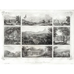
Rogaška Slatina. "Sauerbrunbn bei Rohitsch und Umgebung". Orig. steel-engraving by P. Ahrens after C. Kreuzer's drawing. Triest: Oestr. Lloyd, 1855. Wit Ger. title at the bottom. 20:29 cm.
1 500,00 KčFor sale -
KrainbergCatalog No.: 22108
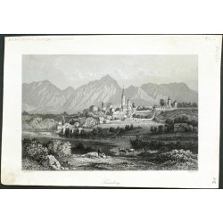
Kranj. "Krainberg". Orig. steel-engraving, ca. 1850. With several figures in the foregrund and German title under the picture. 14,5:22 cm.
950,00 KčFor sale -
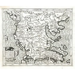
Mercator, Gerardus Macedonia, Epir et AchaiaCatalog No.: 22062
Greece, Abania and Macedonia. "Macedonia, Epir et Achaia". Orig. copper-engraving from the French ed. of Mercator's "Atlas Minor". Published in Amsterdam by J. Hondius, C. Claesz. and J. Jansz., 1607. With ornamental title-cartouche with the scale of map ("Milliaria Italica"). 14,5:17,5 cm.
2 100,00 KčFor sale -
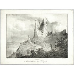
Kunike, Adolph Friedrich Ungern. Alter Thurm zu VicegradCatalog No.: 21936
Visegrád. "Ungern. Alter Thurm zu Vicegrad". Orig. lithography by A. Kunike after J. Alt's drawing. Published by Kunike in Vienna, 1826. With a figure in the foreground and lithographic title under the picture. 26:35,5 cm (the picture).
2 100,00 KčFor sale -
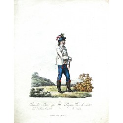
Mollo, Tranquillo Slavischer Bauer aus dem Neutraer ComitatCatalog No.: 21834
Nitra. "Slavischer Bauer aus dem Neutraer Comitat. Paysan Slave du comitat de Neutra". Pův., akvarelem staře kolorovaný obrysový lept. Leptal a vydal T. Mollo ve Vídni, ca. 1810. S něm.-fr. titulem pod obrázkem. 31,5:24 cm.
1 800,00 KčFor sale -
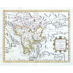
Nolin, J. B. Le Royaume de Hongrie et la Turquie d'EuropeCatalog No.: 20415
"Le Royaume de Hongrie et la Turquie d'Europe". Orig. copper-engraving after J. B. Nolin's map of the region. Published by L. J. Mondhare in Paris, 1783. Orig. old colouring. With ornamental title-cartouche. 20,5:26 cm (8 x 10 1/4 inch.).
2 500,00 KčFor sale -
Camocio, Giovanni Francesco Antivari cita in confine della Dalmatia et...Catalog No.: 18240
"Antivari cita in confine della Dalmatia et Albania ... M.D.LXXI". Orig. copper-engraving from G. F. Camocio's Isole Famose .... Published in Venice by Camocio, 1571. With title-cartouche and 3 ships. 17:23 cm (6 3/4 x 9 inch.).
12 000,00 KčFor sale -
Camocio, Giovanni Francesco Curciola insulaCatalog No.: 18114
Korcula (Croatia). "Curciola insula". Orig. copperplate engraving, G. F. Camocio, 'Isole Famose ...', Venice, 1571. With title cartouche. 15,5:20,5 cm.
9 000,00 KčFor sale -
Homann Erben Tabula Geografica exhibens Regnum...Catalog No.: 16440
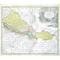
"Tabula Geografica exhibens Regnum Sclavoniae cum Syrmii Ducatu". Orig. copper-engraving published by Homann's Heirs in Nuremberg, 1745. Original old colouring. With great figure cartouche with a coat of arms and a cartouche with explanatory...
6 000,00 KčFor sale -
Maire, F. J. Post Karte von der Halbinsel Taurien oder...Catalog No.: 15729
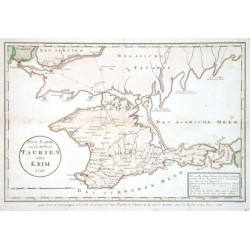
Crimea. "Post Karte von der Halbinsel Taurien oder Krim (pour Servir de renseignemens a la Carte des Limites des trois Empires ou Theatre de la Guerre de 1787 entre la Russie et les Turcs)". Orig. copper-engraving after F. J. Maire's map of the region....
3 500,00 KčFor sale -
Reilly, Franz Johann Joseph Die Otschakowische Tartarey oder...Catalog No.: 15699
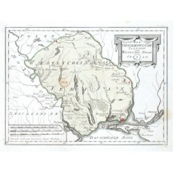
"Die Otschakowische Tartarey oder Westliches Nogaj, auch Jedisan. Nro. 12.". Orig. copper-engraving. Published by F. J. J. von Reilly, Vienna, 1789. Orig old colouring. With decorative title-cartouche and the scale of map. 20,5:28 cm (8 x 11 inch.).
1 800,00 KčFor sale -
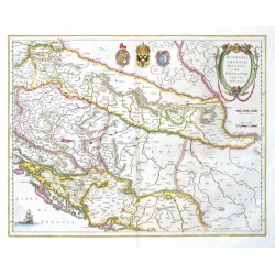
Blaeu, Willem Janszoon Sclavonia, Croatia, Bosniacum Dalmatiae parteCatalog No.: 15576
Slovenia, Croatia, Bosnia and Herzegovina. "Sclavonia, Croatia, Bosniacum Dalmatiae parte". Orig. copper-engraving, W. J. Blaeu after G. Mercator's map of the region. Published in Amsterdam by J. Blaeu, 1644. Orig. old colouring. With ornamental title-cartouche, 3 coats-of-arms and a...
4 500,00 KčFor sale -
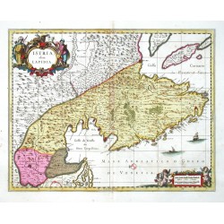
Schenk, Peter & Valck, Gerard Istria, olim LapidiaCatalog No.: 15510
Istria. "Istria, olim Lapidia". Orig. copperplate engraving, P. Schenk and G. Valck, Amsterdam, ca. 1700. Orig. old colouring. With figure title cartouche. 38,5:50 cm.
9 000,00 KčFor sale -
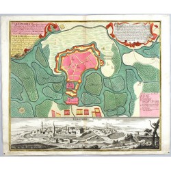
Seutter, Matthäus Timișoara - Temeswaria Oppidum superioris...Catalog No.: 14835
Temeswar. "Temeswaria Oppidum superioris Hungarice ... ad Tesium Flumen ... Temeswar eine in Ober Ungarn ... um und um im Morast liegende ... Stadt". Orig. copperplate engraving, M. Seutter, Augsburg, ca. 1730. Orig. old colouring. 50:58 cm.
25 000,00 KčFor sale -
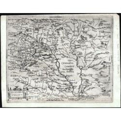
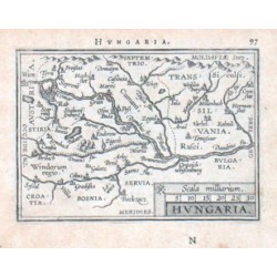
Ortelius, Abraham Hungary - HungariaCatalog No.: 14562
Hungary. "Hungaria". Orig. copper-engraving from the German edition of A. Ortelius' Epitome, published in Frankfurt am Main by L. Hulsius (Hulst), 1604. With ornamental title-cartouche, the scale of map ("Scala milliarium") and Latin title above the map....
1 500,00 KčFor sale -
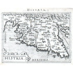
Ortelius, Abraham Istria - HistriaCatalog No.: 14427
Istria (Croatia). "Histria". Orig. copper-engraving from the French edition of A. Ortelius' Epitome, published in Antwerp by Plantin Press for F. Galle, 1598. With ornamental title-cartouche and Latin title above the map. 8:11 cm (3 1/4 x 4 1/4 inch.).
1 800,00 KčFor sale -
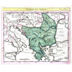
Delisle, Guillaume Turquie en EuropeCatalog No.: 14154
"Turquie en Europe". Orig. copper-engraving. after G. Delisle map. Published in Paris, ca. 1700. Orig. old colouring. With title above the map. 14:17 cm (5 1/2 x 6 3/4 inch.).
1 800,00 KčFor sale -
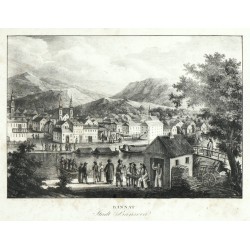
Kunike, Adolph Friedrich Bannat. Stadt BansovaCatalog No.: 12132
Pančevo. "Bannat. Stadt Bansova". Orig. lithography, A. Kunike, 1826. With many figures in the foreground and German title under the picture. 24,5:35,5 cm (the picture).
2 800,00 KčFor sale -
Botero, Giovanni Hungaria UngarnCatalog No.: 11856
Hungary. "Hungaria Ungarn". Orig. copperplate engraving, G. Botero. Publ. in Cologne, 1596. With ornamental title-cartouche and the scale of map ("Miliaria Hungarica communia"). 20,5:25 cm (8 x 10 inch.).
6 500,00 KčFor sale -
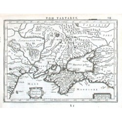
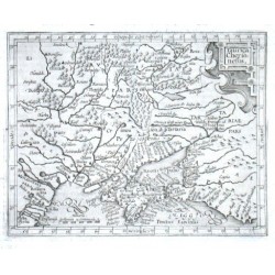
Mercator, Gerardus Taurica ChersonesusCatalog No.: 09909
"Taurica Chersonesus". Orig. copper-engraving from the German edition of Mercator's Atlas Minor published in Amsterdam by J. Janssonius, 1648. With ornamental title-cartouche, another ornamental cartouche with the scale of map ("Miliaria...
2 500,00 KčFor sale -
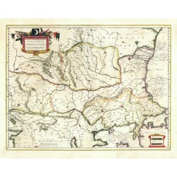
Blaeu, Willem Janszoon (author) Mercator, Gerardus (other authors) Walachia, Servia, Bulgaria, RomaniaCatalog No.: 09285
Eastern Balkans. "Walachia, Servia, Bulgaria, Romania". Orig. copperplate engraving after G. Mercator's map of the region. Published by W. J. Blaeu, 1635. Orig. old colouring. 38,5:50,5 cm.
5 800,00 KčFor sale -
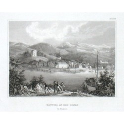
Battina an der Donau in UngarnCatalog No.: 08649
"Battina an der Donau in Ungarn". Orig. steel-engraving. Published by Bibliogr. Institut in Hildburghausen, ca. 1835. With several figures and a ship in the foreground. 10,5:14,5 cm (4 1/4 x 5 3/4 inch.).
600,00 KčFor sale -
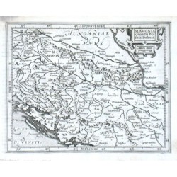
Mercator, Gerardus Slavonia Croatia Bosnia. Dalmat.Catalog No.: 08262
"Slavonia Croatia Bosnia. Dalmat.". Orig. copper-engraving from G. Mercator's Atlas Minor. Published in Amsterdam by J. Hondius, with C. Claesz. and Jan Jansz., 1607. With ornamental title-cartouche with the scale of map ("Milliaria Italica")....
2 100,00 KčFor sale -
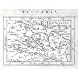
Ortelius, Abraham Hungary - HungariaCatalog No.: 08259
Hungary. "Hungaria". Orig. copper-engraving from the French edition of A. Ortelius' Epitome. Published in Antwerpen by J. B. Vrienst, 1602. With decorative title-cartouche with the scale of map ("Scala milliarium"). 7,5:11 cm (3 x 4 1/4 inch.).
1 800,00 KčFor sale -
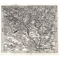
Mercator, Gerardus HungariaCatalog No.: 08256
Hungary. "Hungaria". Orig. copperplate engraving after G. Mercator's map of the region. Published in Amsterdam by J. Hondius, with C. Claesz. and Jan Jansz., 1609. With ornamental title-cartouche with the scale of map ("Mill. Germanica"). 15:18 cm .
2 400,00 KčFor sale -
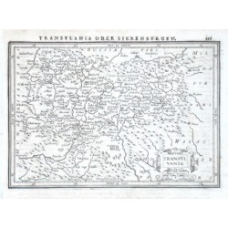
Janssonius, Johannes TransylvaniaCatalog No.: 08253
"Transylvania". Orig. copper-engraving. Published by J. Janssonius in Amsterdam, 1648-51. With ornamental title-cartouche and printed German heading-title ("Transylvania oder Siebenburgen"). 14:20 cm (5 1/2 x 7 3/4 inch.).
1 800,00 KčFor sale -
Mercator, Gerardus Taurica ChersonesusCatalog No.: 05706
"Taurica Chersonesus". Orig. copper-engraving from Mercator's Atlas Minor published in Amsterdam by J. Hondius, 1613. With ornamental title-cartouche and the scale of map ("Miliaria Germanica Communia"). 13:16,5 cm (5 1/4 x 6 1/2 inch.).
2 400,00 KčFor sale -
Ortelius, Abraham (author) Gastaldi, Giacomo (other authors) Romaniae (quae olim Thracia dicta)...Catalog No.: 04728
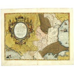
Eastern Balkans. "Romaniae, (quae olim Thracia dicta) vicinorumque regionum ...". Orig. copperplate engraving after G. Gastadi's map of the region. Published by A. Ortelius, 1584. Orig. old colouring. 36:49,5 cm.
10 800,00 KčFor sale -
Bodenehr, Gabriel StulweissenburgCatalog No.: 01413
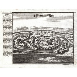
Székesfehérvár. "Stulweissenburg". Orig. copperplate engraving, G. Bodenehr, Augsburg, ca. 1720. With explanatory notes on the side. 16,5:22,5 cm.
1 800,00 KčFor sale -
Seutter, Matthäus Slovenia, Croatia - Exactissima Ducatus...Catalog No.: 01298
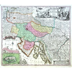
Slovenia and Croatia. "Exactissima Ducatus Carniolae Vinidorum Marchiä et Histriae delineatio". Orig. copper-engraving by M. Seutter, Augsburg, ca. 1730. Original old colouring. With great figure title-cartouche, a cartouche with inset map of Cerknica Lake with...
9 000,00 KčFor sale -
Ortelius, Abraham Balkans - Schlavoniae, Croatiae, Carniae,...Catalog No.: 00564
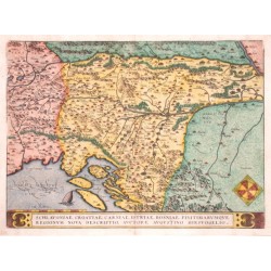
Balkans - Slovenia, Serbia, Croatia, Bosnia, Istria. "Schlavoniae, Croatiae, Carniae, Istriae, Bosniae, finitimarumque regionum nova descriptio". Orig. copper-engraving, A. Ortelius after A. Hirsvogel map, 1570. Coloured. With title border at the bottom. 34,5:46 cm (13 1/2 x 18 1/4 inch.).
9 000,00 KčFor sale

