No products
Southeastern Europe
Southeastern Europe There are 5 items.
Subcategories
-
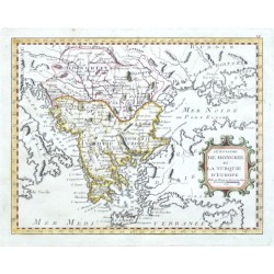
Nolin, J. B. Le Royaume de Hongrie et la Turquie d'EuropeCatalog No.: 20415
"Le Royaume de Hongrie et la Turquie d'Europe". Orig. copper-engraving after J. B. Nolin's map of the region. Published by L. J. Mondhare in Paris, 1783. Orig. old colouring. With ornamental title-cartouche. 20,5:26 cm (8 x 10 1/4 inch.).
2 500,00 KčFor sale -
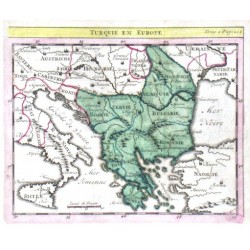
Delisle, Guillaume Turquie en EuropeCatalog No.: 14154
"Turquie en Europe". Orig. copper-engraving. after G. Delisle map. Published in Paris, ca. 1700. Orig. old colouring. With title above the map. 14:17 cm (5 1/2 x 6 3/4 inch.).
1 800,00 KčFor sale -
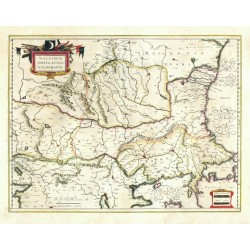
Blaeu, Willem Janszoon (author) Mercator, Gerardus (other authors) Walachia, Servia, Bulgaria, RomaniaCatalog No.: 09285
Eastern Balkans. "Walachia, Servia, Bulgaria, Romania". Orig. copperplate engraving after G. Mercator's map of the region. Published by W. J. Blaeu, 1635. Orig. old colouring. 38,5:50,5 cm.
5 800,00 KčFor sale -
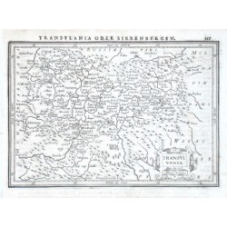
Janssonius, Johannes TransylvaniaCatalog No.: 08253
"Transylvania". Orig. copper-engraving. Published by J. Janssonius in Amsterdam, 1648-51. With ornamental title-cartouche and printed German heading-title ("Transylvania oder Siebenburgen"). 14:20 cm (5 1/2 x 7 3/4 inch.).
1 800,00 KčFor sale -
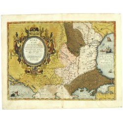
Ortelius, Abraham (author) Gastaldi, Giacomo (other authors) Romaniae (quae olim Thracia dicta)...Catalog No.: 04728
Eastern Balkans. "Romaniae, (quae olim Thracia dicta) vicinorumque regionum ...". Orig. copperplate engraving after G. Gastadi's map of the region. Published by A. Ortelius, 1584. Orig. old colouring. 36:49,5 cm.
10 800,00 KčFor sale

