No products
Central America and Antilles (West Indies) There are 9 items.
-
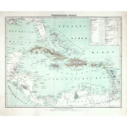
Flemming, Carl Westindische InselnCatalog No.: 25705
Carribean. "Westindische Inseln". Orig. lithography, C. Flemming, Glogau, ca. 1845. Orig. old colouring. With litho. title above the map and a cartouche with explanatory notes. 30:38,5 cm (the map).
1 050,00 KčFor sale -
Scherer, Heinrich Archipelagi Americani delineatio geographicaCatalog No.: 07971
Antilles. "Archipelagi Americani delineatio geographica". Orig. copperplate engraving from H. Scherer's "Atlas novus", published in Munich, 1703. With ornamental title cartouche. 23:34 cm.
7 500,00 KčFor sale -
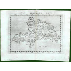
Ruscelli, Girolamo Isola Spagnola NovaCatalog No.: 17643
Hispaniola (Haiti/Dominican Republic) and Martinique. "Isola Spagnola Nova". Orig. copper-engraving from G. Ruscelli's edition of Ptolemy's Geography. Published in Venice by G. Ziletti, 1562. With title above the map. 18,5:24,5 cm (7 1/4 x 9 3/4...
4 000,00 KčFor sale -
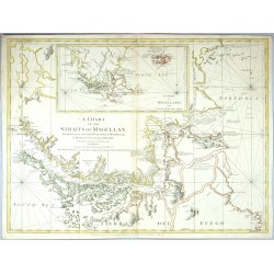
Cano y Olmedilla, Juan de la Cruz A Chart of the Straits of Magellan ......Catalog No.: 25197
Strait of Magellan, Falkland Islands. "A Chart of the Straits of Magellan ... with Falkland's Islands". Orig. copperplate engraving. Published R. Sayer and J. Bennett in London, 1775. Orig. old colouring. With engraved titel and an inset map. 52:79 cm.
15 000,00 KčFor sale -
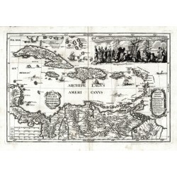
Janssonius, Johannes Insularum Hispaniolae et Cubae delineatioCatalog No.: 00113
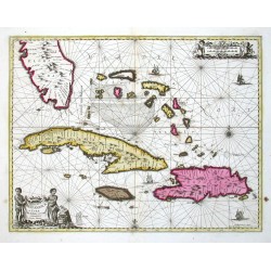
Antilles (West Indies - the Carribean). "Insularum Hispaniolae et Cubae Cum Insulis circum jacentibus accurata delineatio". Orig. copper-engravig, J. Janssonius. Original old colouring. Published by G. Valk & P. Schenk in Amsterdam, ca. 1690. With figure title-cartouche,...
30 000,00 KčFor sale -
Homann, Johann Baptist Regni Mexicani seu Novae Hispaniae,...Catalog No.: 00094
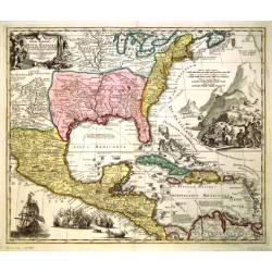
North America, Mexico and the Caribbean. "Regni Mexicani seu Novae Hispaniae, Floridae, Novae Angliae, Carolinae, Virginiae, et Pennsylvaniae, nec non Insularum Archipelagi Mexicani in America Septentrionali accurata Tabula". Orig. copper-engraving, published by J. B....
21 000,00 KčFor sale -
Dampier, William Tabula Regionum in America Media Sitarum....Catalog No.: 07944
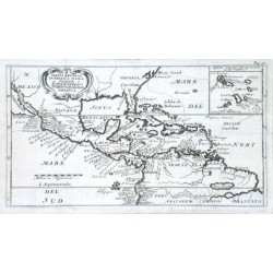
Central America and Antilles (West Indies)."Tabula Regionum in America Media Sitarum. Land Karte des Mittlern theils von America". Orig. copper-engraving after W. Dampier's map of Central America. Published 1703. With ornamental title-cartouche,...
5 400,00 KčFor sale -
Dilly, C. - Robinson, G. The West Indies According to the best...Catalog No.: 01061
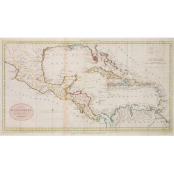
Central America and Antilles (West Indies)."The West Indies According to the best Authorities". Copper-engraving by W. Darton published by Dilly & Robinson, London, 1785. Cont. col. in outline. With oval cartouche. 28,5:53 cm (11 1/4 x 21 inch.).
12 000,00 KčFor sale -
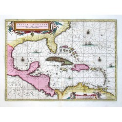
Janssonius, Johannes Insulae AmericanaeCatalog No.: 00111
Central America and Antilles (West Indies). "Insulae Americanae in Oceano Septentrionali". Orig. copperplate engraving, J. Janssonius. Published by G. Valk and P. Schenk, 1694. Beautiful old colouring. With great ornamental title-cartouche with 2...
28 000,00 KčFor sale

