No products
France
- Albi
- Anjou
- Artois
- Bar-le-Duc
- Berry
- Blois
- Bourbourg
- Bourgogne-Franche-Comté
- Bresse
- Cambrai
- Cassel
- Château de Lichtenberg
- Chaumont
- Compiegne and Noyon
- Corsica
- Dauphiné
- Elsass
- Gascogne
- Gâstinais and Senonais
- Gravelines
- Hauts-de-France
- Ile de France
- La Bassée - Hesdin
- Languedoc
- Lille
- Limoges
- Lorraine
- Lyon
- Maine
- Marseille
- Metz
- Montmélian
- Mulhouse
- Nancy
- Nice
- Normandie
- Paris
- Perche
- Picardy
- Poitou
- Provence
- Re and Oleron
- Reims - Rethel
- Saint-Omer
- Saintonge and Aunis
- Savoy
- Strasbourg
- Tarn (department)
- Vexin
France There are 97 items.
Subcategories
-
Albi (1)
-
Anjou (1)
-
Artois (4)
-
Bar-le-Duc (1)
Bar-le-Duc
-
Berry (1)
-
Blois (3)
-
Bourbourg (1)
-
Bourgogne-Franche-Comté (2)
-
Bresse (2)
-
Cambrai (3)
-
Cassel (1)
Cassel
-
Château de Lichtenberg (1)
Château de Lichtenberg
-
Chaumont (1)
-
Compiegne and Noyon (1)
-
Corsica (6)
-
Dauphiné (3)
-
Elsass (3)
-
Gascogne (1)
-
Gâstinais and Senonais (1)
-
Gravelines (1)
-
Hauts-de-France (1)
Hauts-de-France
-
Ile de France (3)
-
La Bassée - Hesdin (1)
La Bassée - Hesdin
-
Languedoc (3)
-
Lille (2)
-
Limoges (1)
-
Lorraine (4)
-
Lyon (2)
-
Maine (1)
-
Marseille (1)
-
Metz (2)
Metz
-
Montmélian (2)
-
Mulhouse (1)
Mulhouse
-
Nancy (3)
-
Nice (1)
-
Normandie (2)
-
Paris (3)
-
Perche (1)
Perche
-
Picardy (1)
Picardy
-
Poitou (1)
-
Provence (4)
-
Re and Oleron (1)
-
Reims - Rethel (2)
Reims - Rethel
-
Saint-Omer (1)
-
Saintonge and Aunis (2)
-
Savoy (3)
-
Strasbourg (5)
-
Tarn (department) (1)
Tarn (department)
-
Vexin (1)
-
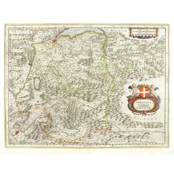
Blaeu, Willem Janszoon Savoy - Blaeu - Sabaudia Ducatus. SavoyeCatalog No.: 26497
Savoy. "Sabaudia ducatus. Savoye". Orig. copperplate engraving, W. J. Blaeu, 1631. Published by J. Blaeu, in Amsterdam, 1644. Original old colouring. With ornamental title cartouche with coat of arms and two cherubs. 38:50 cm.
7 500,00 KčFor sale -
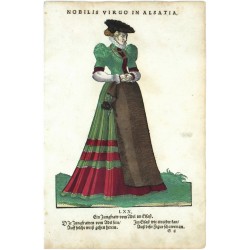
Amman, Jost Nobilis Virgo in AlsatiaCatalog No.: 19185
Jost Amman. "Nobilis Virgo in Alsatia". Orig. woodcut, J. Amman from the first edition of his work 'Habitus praecipuorum populorum ...'. Published by H. Weigel in Nuremberg, 1577. 23,5:17 cm.
4 000,00 KčFor sale -
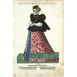
Amman, Jost Nobilis Foemina in AlsatiaCatalog No.: 19335
Jost Amman. "Nobilis Foemina in Alsatia". Orig. woodcut, J. Amman from the first edition of his work 'Habitus praecipuorum populorum ...'. Published by H. Weigel in Nuremberg, 1577. 23,5:17 cm.
3 500,00 KčFor sale -
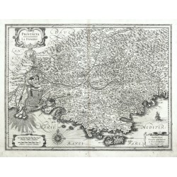
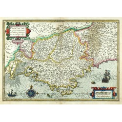
Hondius, Henricus Provincia. La ProvenceCatalog No.: 25417
Provence. "Provincia. La Provence". Orig. copperplate engraving, H. Hondius and J. Janssonius, Amsterdam, 1633. With ornamental title-cartouche, a cartouche with the scale of map and another cartouche with publisher's address. 38:50 cm.
10 500,00 KčFor sale -
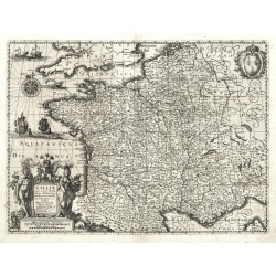
Hondius, Henricus Galliae supra omnes ... descriptioCatalog No.: 25388
France. "Galliae supra omnes ... descriptio". Orig. copperplate engraving, H. Hondius, 1633. With figure title cartouche, a coat of arms, windrose, 3 ships and 2 sea creatures. 37:50 cm.
8 000,00 KčFor sale -
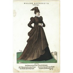
Amman, Jost Mulier Metensis in LotharingiaCatalog No.: 19317
Jost Amman. "Mulier Metensis in Lotharingia". Orig. woodcut, J. Amman from the first edition of his work 'Habitus praecipuorum populorum ...'. Published by H. Weigel in Nuremberg, 1577. 24:17 cm.
3 500,00 KčFor sale -
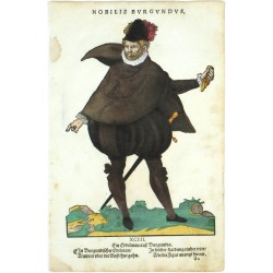
Amman, Jost Nobilis BurgundusCatalog No.: 19305
Jost Amman. "Nobilis Burgundus". Orig. woodcut, J. Amman from the first edition of his work 'Habitus praecipuorum populorum ...'. Published by H. Weigel in Nuremberg, 1577. 25:17 cm.
3 500,00 KčFor sale -
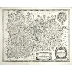
Blaeu, Willem Janszoon Delphinatus vulgo DauphinéCatalog No.: 25220
Dauphiné. "Delphinatus vulgo Dauphiné". Orig. copperplate engraving, W. J. Blaeu, 1631. Published by W. and J. Blaeu in Amsterdam, 1641-42. With decorative title-cartouche, ornamet. cart. with the scale of map and cart. with a large coat of arms. 38,5:50 cm.
4 800,00 KčFor sale -
Mercator, Gerardus PrussiaCatalog No.: 25209
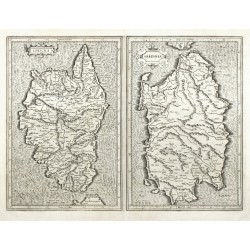
Corsica and Sardinia. "Corsica. Sardinia". Orig. copperplate engraving, G. Mercator, 1589. Published by H. Hondius in Amsterdam, 1630. With 2 ornamental title-cartouches. 34,5:46,5 cm.
10 500,00 KčFor sale -
Sanson, Nicolas Anciens Royaumes de Kent, d'Essex, et de...Catalog No.: 05595
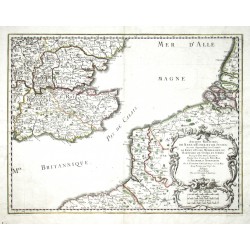
South East England, Strait of Dover. "Anciens Royaumes de Kent, d'Essex, et de Sussex ... et Normandie". Orig. copperplate engraving, N. Sanson, Paris, 1654. Orig. old colouring. With ornamentat title cartouche with the scale of map. 37:48 cm.
4 500,00 KčFor sale -
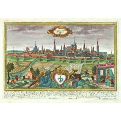
Werner, Friedrich Bernhard NancyCatalog No.: 25004
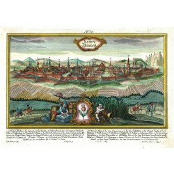
Nancy. "Nancy". Orig. copperplate engraving from 'Ansichten berühmter Städte Europas'. Engraved by A. Gläßer after F. B. Werner's drawing. Published by M. Engelbrecht in Augsburg, ca. 1740. Magnificent old colouring. With ornamental title cartouche, cartouche with a coat of arms and explanatory notes under the picture. 18:30,5 cm (21:30 cm with the...
6 000,00 KčFor sale -
Homann Heirs (author) Rizzi Zannoni, Giovanni Antonio (other authors) Li Regni di Sicilia, e Sardegna, colle...Catalog No.: 04458
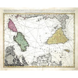
Malta, Sicily, Elba, Corsica and Sardinia. "Li Regni di Sicilia, e Sardegna, colle Adiacenti Isole di Corsica, Elba, Malta, e Liparee ...". Orig. copperplate engraving, Homann heirs, 1762. 47:57 cm.
13 500,00 KčFor sale -
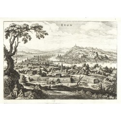
Merian, Matthäus LyonCatalog No.: 24624
Lyon. "Lyon". Orig. copperplate engraving, M. Merian from J. L. Gottfried's 'Neuwe Archontologia Cosmica', Frankfurt am Main, 1638. With figures in the foreground and a small coat of arms lower left. 24:34,5 cm.
4 000,00 KčFor sale -
Mercator, Gerardus Provinciae, Regionis Galliae, vera...Catalog No.: 24579
Provence. "Provinciae, Regionis Galliae, vera exactissimaq. descriptio. Provence.". Orig. copperplate engraving, 1606. From Mercator's Atlas published by J. Hondius in Amsterdam, 1613. 36:51,5 cm.
15 000,00 KčFor sale -
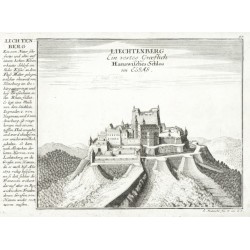
Bodenehr, Gabriel Liechtenberg Ein vestes Graeflich...Catalog No.: 24384
Château de Lichtenberg. "Liechtenberg Ein vestes Graeflich Hanawisches Schlos im Elsas". Orig. copperplate engraving, G. Bodenehr, Augsburg, ca. 1710. With title in the desk and explanatory notes on the left. 16:22,5 cm.
1 200,00 KčFor sale -
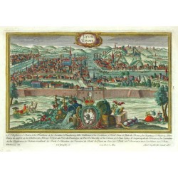
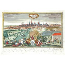
Werner, Friedrich Bernhard (author) Ringle, Johann Georg (other authors) Lyon. LijonCatalog No.: 24265
Lyon. "Lyon. Lijon". Orig. copperplate engraving. Engraved by J. G. Ringle (also Ringlin) after F. B. Werner's drawing. Published by M. Engelbrecht in Augsburg, ca. 1740. Magnificent old colouring. With ornamental title cartouche, cartouche with a coat of arms and explanatory notes under the picture. 18:29,5 cm.
7 500,00 KčFor sale -
Werner, Friedrich Bernhard (author) Ringle, Johann Georg (other authors) Ryssel s. Lille. RijßelCatalog No.: 24264
Lille. "Ryssel s. Lille. Rijßel". Orig. copperplate engraving. Engraved by J. G. Ringle (also Ringlin) after F. B. Werner's drawing. Published by M. Engelbrecht in Augsburg, ca. 1740. Magnificent old colouring. With ornamental title cartouche, cartouche with a coat of arms and explanatory notes under the picture. 18,5:30 cm.
6 000,00 KčFor sale -
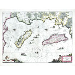
Blaeu, Willem Janszoon Insulae Divi Martini et Uliarus vulgo...Catalog No.: 23899
Ré and Oléron Islands. "Insulae Divi Martini et Uliarus vulgo l'Isle de Ré et Oleron". Orig. copper-engraving, W. and J. Blaeu, Amsterdam, 1635. Orig. old colouring. With 2 figure cartouches and many ships. 39,5:54 cm (15 1/2 x 21 1/4 inch.).
9 000,00 KčFor sale -
Werner, Friedrich Bernhard Cambray. CammerichCatalog No.: 23846
Cambrai. "Cambray. Cammerich". Orig. copperplate engraving. Engraved by A. Gläßer after F. B. Werner's drawing. Published by M. Engelbrecht in Augsburg, ca. 1750. Magnificent old colouring. With ornamental title cartouche, cartouche with a coat of arms and explanatory notes under the picture. 18:30 cm.
6 000,00 KčFor sale -
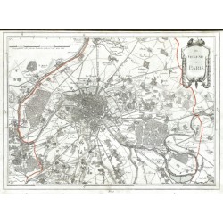
Reilly, Franz Johann Joseph von Des Schauplatzes Der Fünf Theile Der Welt...Catalog No.: 21590
France, Belgium and Germany. Reilly, F. J. J. von. ("Des Schauplatzes der Fünf Theile der Welt ... Enthält Frankreich in seiner jetzigen Ausdehnung"). Vienna: Reilly, 1806. An atlas w. 26 maps of French departments, Belgian provinces, German regions and a map of the environs of Paris. A total of 27 orig. copper-engravings coloured in outline. Each map ca....
10 000,00 KčFor sale -
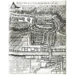
Braun, Georg - Hogenberg, Frans Description de la Ville de BarCatalog No.: 22898
Bar-le-Duc. "Description de la Ville de Bar". Orig. copper-engraving from the 6th part of Latin ed. of Braun and Hogenberg's "Civitates Orbis Terrarum". Published by A. Hierat in Cologne, 1618. A birds-eye-view of Bar-le-Duc. 44:35 cm.
6 500,00 KčFor sale -
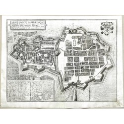
Braun, Georg - Hogenberg, Frans Urbis Nancei Lotharingiae MetropolisCatalog No.: 22895
Nancy. "Urbis Nancei Lotharingiae Metropolis". Orig. copper-engraving from the 6th part of Latin ed. of Braun and Hogenberg's "Civitates Orbis Terrarum". Published by A. Hierat in Cologne, 1618. A birds-eye-view of Nancy. 35:46 cm.
6 000,00 KčFor sale -
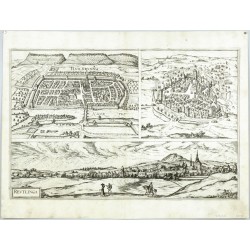
Braun, Georg - Hogenberg, Franz Hailbrunna - Mulhusium - ReutlingaCatalog No.: 22885
Heilbronn, Reutlingen and Mulhouse. "Hailbrunna. Reutlinga. (Mulhusium)". Orig. etching from the 6th part of Latin ed. of G. Braun's and F. Hogenberg's "Civitates Orbis Terrarum". Published by A. Hierat in Cologne, 1617/18. 3 city views printed from one plate. 31,5:47,5 cm.
12 500,00 KčFor sale -
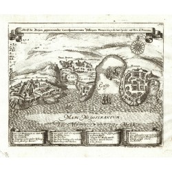
Bodenehr, Gabriel Abriss der Dreijen Vestungen Monaco, Capo...Catalog No.: 06756
Monaco, Nice. "Abriss der Dreijen gegeneinander Correspondierenden Vestungen Monaco, Capo di Sant Spirito und Niza di Provenza". Orig. copperplate engraving, G. Bodenehr, Augsburg, ca. 1720. 16:20 cm.
3 500,00 KčFor sale -
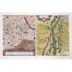
Ortelius, Abraham Upper Palatinate and Strasbourg (Rhine) -...Catalog No.: 00548
Upper Palatinate and Strasbourg (Rhine). "Palatinatus Bavariae Descriptio" and "Argentoratensis Agri Descriptio" Orig. copper-engraving, A Ortelius, 1584 after E. Reich resp. D. Speckel. Original old colouring. With two ornamental cartouches. Two maps on one...
6 200,00 KčFor sale -
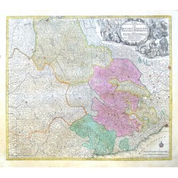
Lotter, Tobias Conrad Savoy, Piedmont, Alps - Regiae in quo...Catalog No.: 10551
Savoy, Piedmont, Alps. "Regiae Celsitudinis Sabaudicae Status in quo Ducatus Sabaudiae, Principat. Pedemontium ut et Ducatus Montisferrati ... Mappa Geographica". Orig. copper-engraving, T. C. Lotter, Augsburg, ca. 1750. Original old colouring. With...
6 000,00 KčFor sale -
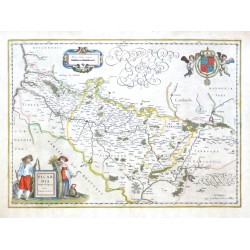
Blaeu, Willem Janszoon Picardia Regio BelgicaCatalog No.: 22655
Picardy. "Picardia Regio Belgica, Auctore Ioanne Surhonio". Orig. copper-engraving after J. Surhon's map of the region. G. and J. Blaeu, Amsterdam, 1634. With fig. title cartouche, ornament. cartouche with the scale of map and a great coat-of-arms with 2 cherubs. 38,5:53,5 cm (15 1/4 x 21 inch.).
3 000,00 KčFor sale -
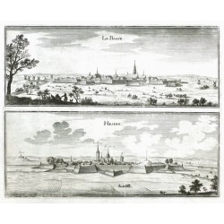
Merian, Caspar La Basse - HesdinCatalog No.: 21566
Northern France. "La Basse - Hesdin". Orig. copper-engraving, C. Merian, ca. 1650. Published in M. Zeiler's Topographia Germaniae-Inferioris by Merian, 1659. With engraved titles. 25:31 cm.
1 600,00 KčFor sale -
Merian, Matthäus (author) Merian, Caspar (other authors) CasselCatalog No.: 21549
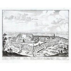
Cassel. "Cassel". Orig. copper-engraving, C. Merian, ca. 1650. With engraved title and explanatory notes (1.-26.) under the picture. 25:33,5 cm.
1 800,00 KčFor sale -
de la Feuille, Paul Carte du DauphinéCatalog No.: 21048
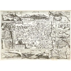
"Carte du Dauphiné". Orig. copper-engraving, P. de la Feille. Published by D. de la Feuille, Amsterdam, 1706. With ornamental title-cartouche with a coat-of-arms and a wind-rose. The map is surrounded by 7 fortifications plans and 5 views of...
2 000,00 KčFor sale -
de la Feuille, Daniel Carte du LanguedocCatalog No.: 21045
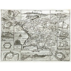
"Carte du Languedoc". Orig. copper-engraving. Published by D. de la Feuille in Amsterdam, 1706. With ornamental title-cartouche with a coat-of-arms, a ship and a wind-rose. The map is surrounded by 9 fortifications plans and 3 views of main...
2 000,00 KčFor sale -
de la Feuille, Daniel La France ModerneCatalog No.: 21042
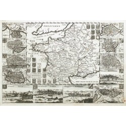
France."La France Moderne avec ses 12 anciens Gouvernement". Orig. copper-engraving. Published by D. de la Feuille in Amsterdam, 1706. With engrved title and 24 coat-of-arms. The map is surrounded by 7 fortifications plans and 5 views of main...
2 700,00 KčFor sale -
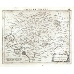
Janssonius, Johannes Le Gouvernement de l'Isle de FranceCatalog No.: 20913
Île-de-France. "Le Gouvernement de l'Isle de France". Orig. copperplate engraving, J. Janssonius, Amsterdam, 1648-51. With ornamental title-cartouche, the scale of map ("Milliaria Gallica Communia") and title ("l'Isle de France") above the map. 15:19,5 cm.
1 200,00 KčFor sale -
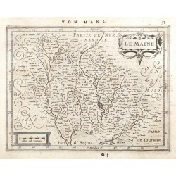
Janssonius, Johannes Le MaineCatalog No.: 20910
Maine (France). "Le Maine". Orig. copperplate engraving, J. Janssonius, Amsterdam, 1648-51. With ornamental title-cartouche, another cartouche with the scale of map ("Milliar Gall communia") and German title ("Von Mans") above the map. 14,5:19 cm (5 3/4 x 7 1/2 inch.).
1 200,00 KčFor sale -
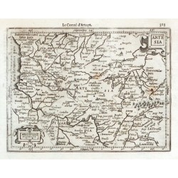
Mercator, Gerardus ArtesiaCatalog No.: 20907
"Artesia". Orig. copper-engraving from G. Mercator's Atlas Minor. Published by J. Hondius, C. Claesz. and J. Jansz. in Amsterdam, 1608. With ornamental title-cartouche, another cartouche with the scale of map ("Miliaria Germanica") and French...
1 200,00 KčFor sale -
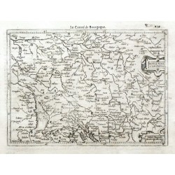
Mercator, Gerardus Burgundia ComitatusCatalog No.: 20904
"Burgundia Comitatus". Orig. copper-engraving from G. Mercator's Atlas Minor. Published by J. Hondius, C. Claesz. and J. Jansz. in Amsterdam, 1608. With ornamental title-cartouche, another cartouche with the scale of map ("Milliaria Burgundiae")...
1 200,00 KčFor sale -
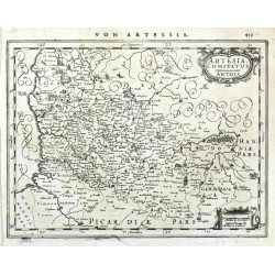
Janssonius, Johannes Artesia, Comitatus. ArtoisCatalog No.: 20886
Artois (Francie). "Artesia, Comitatus. Artois". Orig. copperplate engraving, J. Janssonius, Amsterdam, 1648-51. With ornamental title-cartouche, another cartouche with the scale of map ("Milliaria German. Milliaria Gallica") and German title ("Von Artessia") above the...
1 200,00 KčFor sale -
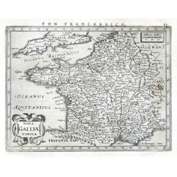
Janssonius, Johannes Nova Galliae TabulaeCatalog No.: 20883
France. "Nova Galliae Tabulae". Orig. copperplate engraving, J. Janssonius in Amsterdam, 1648-51. With ornamental title-cartouche, another cartouche with the scale of map ("Milliaria Gallica") and German title ("Von Franckreich") above the map....
1 800,00 KčFor sale -
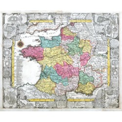
Lotter, Tobias Conrad Le royaume de France et les Conquetes de...Catalog No.: 20502
France."Le royaume de France et les Conquetes de Louis le Grand". Orig. copper-engraving published by T. C. Lotter, ca. 1750- engraved by J. C. Steinberger. Original old colouring. Surrounded by ornamental border (ca. 4,5 cm wide) with engraved...
10 800,00 KčFor sale -
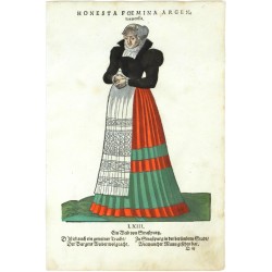
Amman, Jost Honesta Foemina ArgentoratensisCatalog No.: 19263
Jost Amman "Honesta Foemina Argentoratensis". Orig. woodcut, J. Amman from the first edition of his work 'Habitus praecipuorum populorum ...'. Published by H. Weigel in Nuremberg, 1577. 23:17 cm.
3 500,00 KčFor sale -
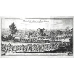
Merian, Matthäus Prächtiger Einzug dess Königs und der...Catalog No.: 16503
Paris. "Prächtiger Einzug dess Königs und der Königin in Franckreich so geschehen in Paris den 26 Augusti 1660". Orig. copperplate engraving from Merian's Theatrum Europaeum, Frankfurt am Main, 1667. 28:53 cm.
4 000,00 KčFor sale -
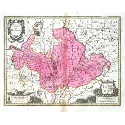
Schenk, Peter & Valck, Gerard (author) Sanson, Nicolas (other authors) La Saintonge vers le MidyCatalog No.: 16407
Saintonge. "La Saintonge vers le Midy ...". Orig. copperplate engraving after N. Sanson's map of the region. Published by P. Schenk and G. Valck, Amsterdam, ca. 1700. Orig. old colouring. 43,5:55,5 cm
3 600,00 KčFor sale -
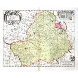
Schenk, Peter & Valck, Gerard Dioecese de Rheims et le pais de RethelCatalog No.: 16404
Reims - Rethel. "Dioecese de Rheims et le pais de Rethel". Orig. copperplate engraving after J. Jubrien's map of the region. Published by P. Schenk and G. Valck, Amsterdam, ca. 1700. Orig. old colouring. 38,5:49 cm.
3 800,00 KčFor sale -
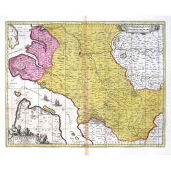
Schenk, Peter & Valck, Gerard Description Du BlaisoisCatalog No.: 16401
Blois. "Description Du Blaisois". Orig. copperplate engraving, P. Schenk and G. Valck, Amsterdam, ca. 1700. Orig. old colouring. With decorative title-cartouche. 37,5:49,5 cm.
3 800,00 KčFor sale -
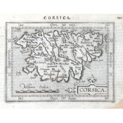
Ortelius, Abraham CorsicaCatalog No.: 15888
Corsica. "Corsica". Orig. copper-engraving from the Latin edition of A. Ortelius' Epitome. Published by J. B. Vrients in Antwerp, 1609. With ornamental title-cartouche, another cartouche with the scale of map ("Milliaria Italica") and Latin title above...
2 100,00 KčFor sale -
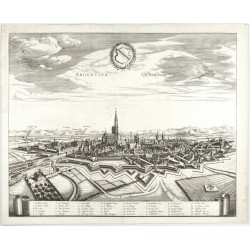
Janssonius, Johannes Argentina. StraßburgCatalog No.: 15186
Strasbourg. "Argentina. Straßburg". Orig. copperplate engraving, J. Janssonius, 1657. A view of Strasbourg. With engraved title, a great coat-of-arms and ornamental cartouche with explanatory notes (1.-40.). 41:50,5 cm (16 1/4 x 20 inch.).
6 500,00 KčFor sale -
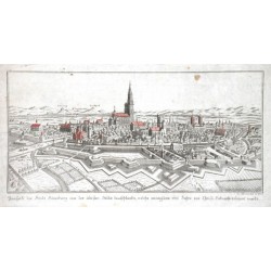
Prospekt der Stadt StrasburgCatalog No.: 14985
"Prospekt der Stadt Strasburg eine der ältesten Städte deutschlands, welche wenigstens 1000 Jahre vor Christi Geburth erbauet wurde". Orig. ankol. Kupferstich bei G. Borovsky, Wien, ca. 1750. Mit Titel unten. 13:27,5 cm.
1 200,00 KčFor sale -
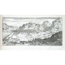
de Fer, Nicolas Veue de Mont Melian du Coste de la PerouseCatalog No.: 13551
"Veue de Mont Melian du Coste de la Perouse". Orig. copper-engraving. Published in Paris by N. de Fer, 1691. With title at the top. 14,5:29,5 cm (5 3/4 x 11 3/4 inch.).
1 200,00 KčFor sale -
Seutter, Matthäus Strasbourg, ville ancienne - Strasburg,...Catalog No.: 12378
Strasbourg. "Strasbourg, ville ancienne ... - Strasburg, eine Uhralte sehr Berühmte ... Statt". Orig. old coloured copper-engraving, M. Seutter, ca. 1740. A panoramatic view of Strasbourg in an ornamental border with 2 caots-of-arms (14:56 cm) and a...
11 000,00 KčFor sale -
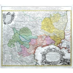
Nolli, Giambattista Gvbernatio Generalis LngvedociaeCatalog No.: 11310
"Gubernatio Generalis Lnguedociae Occitania olim dictae". Orig. copper-engraving after G. Nolli's map of the region. Published in Nuremberg by Homann Heirs, 1742. Orig. old colouring. With great ornamental title-cartouche with 4 cherubs, French...
4 000,00 KčFor sale

