No products
Canada
Canada There are 5 items.
Subcategories
-
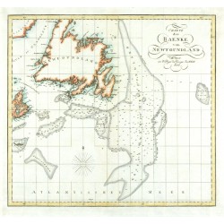
Charte der Baenke von NewfoundlandCatalog No.: 24465
Newfoundland. "Charte der Baenke von Newfoundland". Orig. copperplate engraving, 1821. Orig. old colouring. 32:34,5 cm.
3 000,00 KčFor sale -
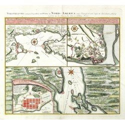
Homann Heirs Vorstellung einiger gegenden und Plaetze...Catalog No.: 23670
Canada. "Vorstellung einiger gegenden und Plaetze in Nord-America unter Francoesisch und Englische Iurisdiction gehoerig". Orig. copperplate engraving, Homann Heirs, 1756. With German ttle above the map. 45:51,5 cm (17 3/4 x 20 1/4 inch.).
14 200,00 KčFor sale -
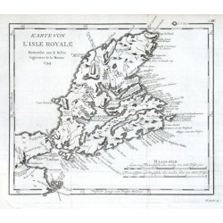
Bellin, Jacques Nicolas Karte von L'Isle RoyaleCatalog No.: 11724
"Karte von L'Isle Royale". Orig. copper-engraving, J. N. Bellin, dated 1744. Published in Leipzig, ca. 1760. With title and the scale of map ("Maass-stab"). 24:27,5 cm (9 1/2 x 10 3/4 inch.).
1 500,00 KčFor sale -
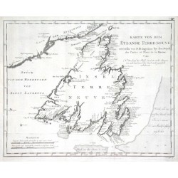
Bellin, Jacques Nicolas Karte von dem Eylande Terre-neuveCatalog No.: 11700
"Karte von dem Eylande Terre-neuve". Orig. copper-engraving, J. N. Bellin, dated 1744. Published in Leipzig, ca. 1760. With title and the scale of map. 28,5:36 cm (11 1/4 x 14 1/4 inch.).
2 400,00 KčFor sale -
Bellin, Jacques Nicolas Partie Orientale de la Nouvelle France ou...Catalog No.: 10629
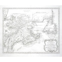
Canada."Partie Orientale de la Nouvelle France ou du Canada". Orig. copper-engraving after J. N. Bellin's map of the region. Published by Homann Heirs, 1755. With ornamental title-cartouche with the scale of map ("Echelles"). 43:54 cm (17 x 21...
12 500,00 KčFor sale

