No products
Florida There are 10 items.
Subcategories
-
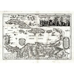
Scherer, Heinrich Archipelagi Americani delineatio geographicaCatalog No.: 07971
Antilles. "Archipelagi Americani delineatio geographica". Orig. copperplate engraving from H. Scherer's "Atlas novus", published in Munich, 1703. With ornamental title cartouche. 23:34 cm.
7 500,00 KčFor sale -
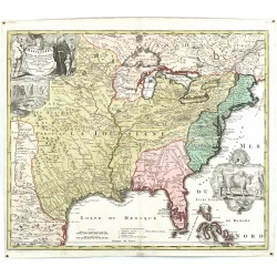
Homann, Johann Baptist Amplissimae Regionis MississipiCatalog No.: 23665
United states (USA). "Amplissimae Regionis Mississipi Seu Provinciae Lidovicianae ... in America Septentrionali Anno 1687 detectae". Orig. copperplate engraving, J. B. Homann, ca. 1720. Orig. old colouring. With great figure title-cartouche with depiction of...
40 000,00 KčFor sale -
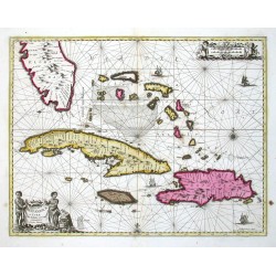
Janssonius, Johannes Insularum Hispaniolae et Cubae delineatioCatalog No.: 00113
Antilles (West Indies - the Carribean). "Insularum Hispaniolae et Cubae Cum Insulis circum jacentibus accurata delineatio". Orig. copper-engravig, J. Janssonius. Original old colouring. Published by G. Valk & P. Schenk in Amsterdam, ca. 1690. With figure title-cartouche,...
30 000,00 KčFor sale -
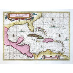
Janssonius, Johannes Insulae AmericanaeCatalog No.: 00111
Central America and Antilles (West Indies). "Insulae Americanae in Oceano Septentrionali". Orig. copperplate engraving, J. Janssonius. Published by G. Valk and P. Schenk, 1694. Beautiful old colouring. With great ornamental title-cartouche with 2...
28 000,00 KčFor sale -
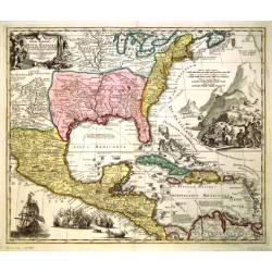
Homann, Johann Baptist Regni Mexicani seu Novae Hispaniae,...Catalog No.: 00094
North America, Mexico and the Caribbean. "Regni Mexicani seu Novae Hispaniae, Floridae, Novae Angliae, Carolinae, Virginiae, et Pennsylvaniae, nec non Insularum Archipelagi Mexicani in America Septentrionali accurata Tabula". Orig. copper-engraving, published by J. B....
21 000,00 KčFor sale -
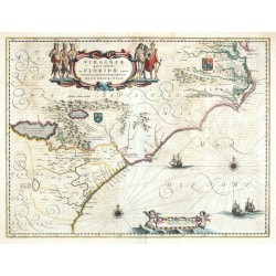
Blaeu, Willem Janszoon Virginiae partis australis, et Floridae...Catalog No.: 00025
Virginia and Florida. "Virginiae partis australis, et Floridae partis orientalis, interjacentiumque regionum nova descriptio". Orig. copper-engraving, W. J. Blaeu, published by C. and J. Blaeu in Amsterdam, ca. 1640. Original old coloring. With...
25 000,00 KčFor sale -
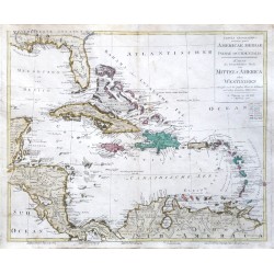
Walch, Johann Tabula ... Americae Mediae ... Karte des...Catalog No.: 22816
West Indies. "Tabula geographica ... Americae Mediae sive Indiae Occidentalis. Karte des ... Theils von Mittel-America oder Westindien". Orig. copper-engraving by Joh. Walch, Augsburg, 1798. Orig. old colouring. With Lat.-Ger. title-cartouche. 50:59,5 cm (19 3/4 x 23 1/2 inch.).
14 500,00 KčFor sale -
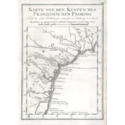
Bellin, Jacques Nicolas Karte von den Küsten des Französischen...Catalog No.: 11643
Florida."Karte von den Küsten des Französischen Florida". Orig. copper-engraving, J. N. Bellin. Published in Leipzig, ca. 1760. With title and the scale of map ("Masasstab") above the map. 20,5:14,5 cm (8 x 5 3/4 inch.).
2 500,00 KčFor sale -
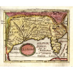
Duval, Pierre FloridaCatalog No.: 06429
Florida. "Florida". Orig. copperplate engraving, P. Duval, 'Geographiae Universalis', J. Hoffman, Nuremberg, 1679. Original old colouring. With decorative title-cartouche. 9,5:12 cm.
8 200,00 KčFor sale -
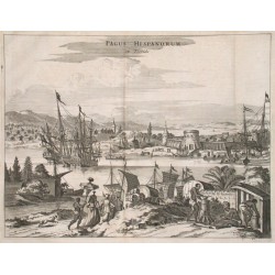
Montanus, Arnoldus Pagus Hispanorum in FloridaCatalog No.: 01443
"Pagus Hispanorum in Florida". Copper plate engraving by A. Montanus from his work "Die Nieuwe en Onbekende Weereld ...", published 1671. 26,5:35 cm.
9 500,00 KčFor sale

