No products
Antique Maps and Views
- Africa
-
America
- America (continent)
- Antilles (West Indies)
- Argentina
- Bermuda
- Brazil
- Canada
- Central America and Antilles (West Indies)
- Chile
- Columbia
- Florida
- Guyana
- Hawaiian Islands
- Honduras
- Louisiana
- Mexico
- New York
- North America
- Panama
- Paraguay
- Peru
- South America
- Straits of Magellan
- United states (USA)
- Venezuela
- Virginia
- Asia and Australia
- Atlasy
-
Europe
- Austria
-
Belgium, the Netherlands, Luxembourg
- Amsterdam
- Antwerp
- Belgium and Luxembourg
- Bergen op Zoom
- Blokzijl
- Bommenede
- Brabant
- Brugge
- Brussels
- Charleroi
- Courtrai
- Delft
- Dinant
- Dordrecht
- Elburg
- Flandres
- Fort Rammekens
- Friesland
- Friesland and Groningen
- Gelderland
- Geraardsbergen
- Grave
- Groningen
- Hainaut
- Harderwijk
- Harlingen
- Holland
- Hulst
- Huy
- Liege
- Lier
- Limbourg
- Limburg
- Louvain
- Luxemburg
- Maastricht
- Mechelen
- Middelburg
- Mons
- Namur
- Netherlands
- Netherlands and Belgium
- Nijmegen
- Ostend
- Overijssel
- Rotterdam
- Spa
- Stavoren
- The Hague
- Tiel
- Utrecht
- Veere
- Veurne
- Ypres
- Zaltbommel
- Zeeland
- Zieriksee
- Zierikzee
- Zutphen
- Zype
-
Bohemia, Moravia and Silesia
- Beroun
- Bohemia
- Brandýs nad Labem
- Branná (okr. Šumperk)
- Brno
- Brodce (okr. Mladá Boleslav)
- Broumov
- Carlsbad
- Čáslav
- Čelákovice
- Český Krumlov
- Cheb
- Chlumec nad Cidlinou
- Chomutov
- Děčín
- Dolní Olešnice - Nové Zámky
- Dvůr Králové nad Labem
- Františkovy Lázně
- Frýdlant
- Hasištejn
- Házmburk
- Hostinné
- Hradec Králové
- Hřensko
- Jáchymov
- Jaroměř
- Jihlava
- Jindřichův Hradec
- Jižní Čechy
- Kamýk u Litoměřic
- Karlštejn
- Kolín
- Konopiště
- Kostelec nad Labem
- Křivoklát
- Krkonoše
- Krupka
- Kunětická Hora
- Kutna Hora
- Kyšperk
- Lednice
- Liberec
- Libochovany
- Lipnice nad Sázavou
- Litoměřice
- Litoměřicko
- Litomyšl
- Loket
- Louny
- Lovosice
- Lysá nad Labem
- Mariánské Lázně
- Mělník
- Mladá Boleslav
- Mladoboleslavsko
- Moravia
- Most
- Náchod
- Nymburk
- Okoř
- Olomouc
- Ostrov nad Ohří
- Pardubice
- Plzeň
- Poděbrady
- Polná
- Prácheňsko
- Prague
- Přelouč
- Rabí
- Rakovnicko
- Rakovník
- Roudnice nad Labem
- Rožmberk
- Rožnov pod Radhoštěm
- Rychmburk
- Sedlec
- Slaný
- Smečno
- Smiřice
- Štětí
- Šumava
- Švamberk (Krasíkov)
- Tábor
- Tepl
- Teplice
- Terezín
- Třeboň
- Týnec nad Labem
- Uničov
- Valdštejn
- Vinec
- Vrabinec
- Vrchlabí
- Vyšší Brod
- Zákupy
- Žampach (zámek)
- Želiv
- Žireč
- Žleby
- Znojmo
- Zvíkov
- Central Europe
- Danube
- Eastern and Southeastern Europe, Balkan
- Europe (continent)
-
France
- Albi
- Anjou
- Artois
- Bar-le-Duc
- Berry
- Blois
- Bourbourg
- Bourgogne-Franche-Comté
- Bresse
- Cambrai
- Cassel
- Château de Lichtenberg
- Chaumont
- Compiegne and Noyon
- Corsica
- Dauphiné
- Elsass
- Gascogne
- Gâstinais and Senonais
- Gravelines
- Hauts-de-France
- Ile de France
- La Bassée - Hesdin
- Languedoc
- Lille
- Limoges
- Lorraine
- Lyon
- Maine
- Marseille
- Metz
- Montmélian
- Mulhouse
- Nancy
- Nice
- Normandie
- Paris
- Perche
- Picardy
- Poitou
- Provence
- Re and Oleron
- Reims - Rethel
- Saint-Omer
- Saintonge and Aunis
- Savoy
- Strasbourg
- Tarn (department)
- Vexin
-
Germany
-
Baden-Württemberg
- Bad Teinach-Zavelstein
- Balingen
- Biberach an der Riß
- Böblingen
- Bodensee
- Breisgau
- Calw
- Dornhan
- Esslingen
- Geislingen an der Steige
- Grafschaft Limpurg
- Heidelberg
- Heilbronn
- Hohenlohe
- Karlsruhe
- Mannheim
- Möckmühl
- Nagold
- Neuenbürg
- Nord-Württemberg
- Oberschwaben
- Offenburg
- Reutlingen
- Rheinpfalz
- Schwäbisch Gmünd
- Schwäbisch Hall
- Singen
- St. Blasien
- Stuttgart
- Swabia
- Tübingen
- Ulm
- Vaihingen a. d. Enz
- Wangen im Allgäu
- Weinheim
- Württemberg
-
Bavaria
- Aschaffenburg
- Augsburg
- Aurach
- Bad Abbach
- Bamberg
- Bogenberg (Wallfahrtskirche)
- Cham
- Coburg
- Donauwörth
- Eichstätt
- Forchheim
- Franken
- Freising
- Friedberg (Schwaben)
- Füssen
- Gräfenberg (Oberfranken)
- Höchstädt an der Donau
- Ingolstadt
- Kelheim
- Kempten
- Lauingen
- Lenggries
- Lindau
- Memmingen
- Mindelheim
- Mühldorf am Inn
- München
- Nabburg
- Natternberg (Schloss)
- Neuburg an der Donau
- Neumarkt in der Oberpfalz
- Neuötting
- Neustadt an der Donau
- Nördlingen
- Nürnberg
- Oberpfalz
- Pappenheim
- Passau
- Pfaffenhofen
- Pöttmes
- Rain am Lech
- Regensburg
- Saal an der Donau
- Schongau
- Schrobenhausen
- Straubing
- Thurnau
- Velden
- Vilshofen an der Donau
- Wackerstein
- Wasserburg am Inn
- Weilheim / links Polling
- Weissenburg in Bayern
- Weltenburg
- Würzburg
- Berlin
- Brandenburg
- Bremen
- Hamburg
- Hessen
- Mecklenburg-Vorpommern/Pommern
-
Niedersachsen
- Aurich
- Bad Bentheim
- Bad Gandersheim
- Bodenwerder
- Braunschweig
- Braunschweig-Lüneburg
- Celle
- Cuxhaven
- Emden
- Hann. Münden
- Hannover
- Hildesheim
- Hoya
- Liebenau an der Weser
- Lüneburg
- Niedersächsischer Kreis
- Nienburg a. d. Weser
- Oldenburg
- Osnabrück
- Osterode
- Osterwieck
- Ostfriesland
- Schnackenburg
- Schöppenstedt
- Stolzenau
- Walsrode
- Winsen an der Luhe
- Wolfenbüttel
- Nordrhein-Westfalen
- Northern Germany
- Rheinland-Pfalz
- Sachsen
- Sachsen-Anhalt
- Schleswig-Holstein
- Thüringen
-
Baden-Württemberg
-
Great Britain and Ireland
- Bedford and Buckinghamshire
- Berkshire and Hampshire
- Cambridgeshire
- Cornwall
- Cumberland
- Denbigh and Flint
- Derbyshire
- Devon
- Dorset
- Durham (County)
- England
- Essex
- Gloucestershire
- Great Britain and Ireland
- Herefordshire
- Hertfordshire
- Hertfordshire and Middlesex
- Huntingdonshire
- Ireland
- Isle of Wight
- Kent
- Leicestershire
- Lincolnshire
- London
- Middlesex
- Norfolk
- Northampton
- Northeastern England
- Northern England
- Northumberland
- Northwestern England
- Nottinghamshire
- Oxfordshire
- Scotland
- Shropshire and Staffordshire
- Somerset
- Southeastern England
- Southwestern England
- Staffordshire
- Surrey
- Sussex
- Wales
- Westmorland
- Wiltshire
- Worcestershire and Warwickshire
- Yorkshire
- Greece, Mediterranean Sea
-
Italy
- Abruzzo
- Ancona
- Apulia (Puglia)
- Arcevia
- Bari and Basilicata
- Bergamo
- Bologna
- Brescia
- Brescia and Crema
- Cadore
- Cagliari
- Caiazzo
- Calabria
- Campania
- Capitanata
- Carmagnola
- Catania
- Central Italy
- Civitavecchia
- Crema
- Cremona
- Cuneo
- Elba
- Emilia Romagna
- Faenza
- Fano
- Ferrara
- Florence
- Fondi
- Friuli
- Gaeta
- Gallipoli
- Genoa
- Ischia
- Italy
- Lazio
- Lerici
- Liguria (Italian Riviera)
- Livorno
- Lombardia
- Loreto
- Lucca
- Mantua
- Mantua
- Marche (Ancona)
- Merano
- Messina
- Milan
- Mirandola
- Modena
- Molise
- Monferrato
- Naples
- Netuno
- Nocera Umbra
- Northern Italy
- Orvieto
- Orvieto and Loreto
- Otranto
- Padua
- Palermo
- Parma
- Pavia
- Perugia
- Pesaro
- Piacenza
- Piedmont
- Pinerolo
- Piombino
- Pisa
- Po
- Pozzuoli
- Reggio di Calabria
- Reggio Emilia
- Rimini
- Rome
- Rovigo
- San Marino
- Sardinia
- Sicily
- Sicily and Malta
- Sicily and Sardinia
- Siena
- Southern Italy
- Spoleto
- Sulmona
- Taranto
- Terracina
- Tivoli
- Torino
- Tortona
- Trapani
- Trentino-Alto Adige / Südtirol
- Trento
- Treviso
- Tuscany
- Tyrol
- Udine
- Umbria
- Urbino
- Velletri
- Venice
- Vercelli
- Verona
- Vicenza
- Viterbo
- Labe
- Mediterranean Sea
- Monaco
- Poland, Silesia, Russia and the Baltic republics
- Rhine
- Scandinavia and Iceland
- Spain and Portugal
- Switzerland
- Islands (Special Catalogue)
- World, Oceans, Poles and Celestial Maps
Antique Maps and Views There are 2151 items.
Subcategories
-
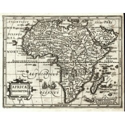
Mercator, Gerardus Africae DescriptioCatalog No.: 25528
Africa. "Africae Descriptio". Orig. copperplate engraving from Mercator's Atlas Minor. Published by J. Hondius in Amsterdam, 1609. With ornamental title cartouche. 15:19,5 cm.
6 800,00 KčFor sale -
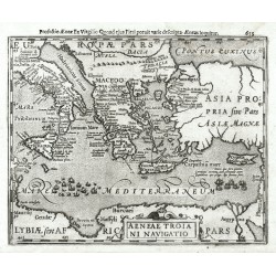
Mercator, Gerardus Aeneae Troiani NavigatioCatalog No.: 25527
Eastern Mediterranean. "Aeneae Troiani Navigatio". Orig. copperplate engraving from Mercator's Atlas Minor. Published by J. Hondius in Amsterdam, 1608. With ornamental title cartouche. 15:19 cm.
2 800,00 KčFor sale -
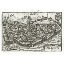
Bertelli, Pietro UrbinoCatalog No.: 25526
Urbino. Pietro Bertelli (ca. 1571-1621). "Urbino". Orig. copperplate engraving, 1599 from the Italian ed. of P. Bertelli's 'Theatrum Urbium ...' ('Teatro Delle Città D'Italia'. Published by D. Amadio, Vicenza, 1616). 12:18 cm.
5 200,00 KčFor sale -
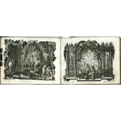
Lotter, Tobias Conrad Lotter - Loebeck - Atlas Geographicus...Catalog No.: 25482
Lotter, Tobias Conrad - Lobeck, Tobias. "Atlas Geographicus portatilis ...". Augsburg: Lobeck, ca. 1750. Oblong 12mo. Engraved frontispiece and title, 35 old coloured copperplate maps, Index, 72 pages. Orig. full-leather binding from the time.
40 000,00 KčFor sale -
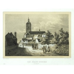
Bürger, Robert - Semmler, C. G. Die Stadt-Kirche zu MelnikCatalog No.: 25481
Mělník. "Die Stadt-Kirche zu Melnik". Pův., velmi pěkně tónovaná litografie. Podle R. Bürgerovy kresby litografoval C. W. Arldt. Z: C. G. Semmler - 'Der Elbstrom, von seinem Ursprunge bis zu seiner Mündung in die Nordsee ...'. Drážďany: Semmler, 1845. S figurami v popředí. 18,5:24 cm.
1 800,00 KčFor sale -
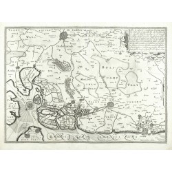
Hondius, Henricus (author) Keere, Pieter van den (Petrus Kaerius) (other authors) Belgian FlandersCatalog No.: 25420
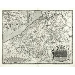
Belgian Flanders. "Habes hic Novam & accuratissimam descriptionem tractus illius Flandriae per que superioribus ...". Orig. copperplate engraving, H. Hondius in Amsterdam, 1630. Engraved by P. Kaerius. 37:51,5 cm.
7 000,00 KčFor sale -
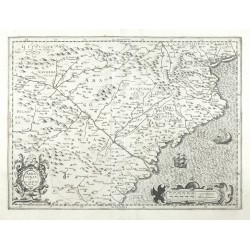
Hondius, Jodocus Arragonia et CataloniaCatalog No.: 25419
Aragon and Catalonia. "Arragonia et Catalonia". Orig. copperplate engraving, J. Hondius, 1606. Published by H. Hondius in Amsterdam, 1630. With ornamental title-cartouche. 34,5:48,5 cm.
6 500,00 KčFor sale -
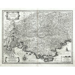
Hondius, Henricus Provincia. La ProvenceCatalog No.: 25417
Provence. "Provincia. La Provence". Orig. copperplate engraving, H. Hondius and J. Janssonius, Amsterdam, 1633. With ornamental title-cartouche, a cartouche with the scale of map and another cartouche with publisher's address. 38:50 cm.
10 500,00 KčFor sale -
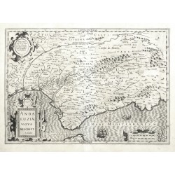
Hondius, Jodocus Andaluziae Nova Descript.Catalog No.: 25416
Andalusia. "Andaluziae Nova Descript.". Orig. copperplate engraving, J. Hondius, 1606. Published by H. Hondius in Amsterdam, 1630. With ornamental title-cartouche and another cartouche with the scale of map. 35,5:50,5 cm.
9 000,00 KčFor sale -
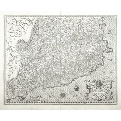
Hondius, Henricus Cataloniae Principatus Descrtiptio NovaCatalog No.: 25414
Catalonia. "Cataloniae Principatus Descrtiptio Nova". Orig. copperplate engraving, H. Hondius, Amsterdam, 1630. With ornamental title-cartouche and another cartouche with the scale of map. 38,5:48,5 cm.
12 000,00 KčFor sale -
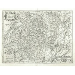
Mercator, Gerardus Helvetia cum finitimis regionibus...Catalog No.: 25413
Switzerland. "Helvetia cum finitimis regionibus confoederatis". Orig. copperplate engraving, G. Mercator, 1585. Published by H. Hondius in Amsterdam, 1630. With ornamental title-cartouche and another cartouche with the scale of map. 35:47 cm.
5 200,00 KčFor sale -
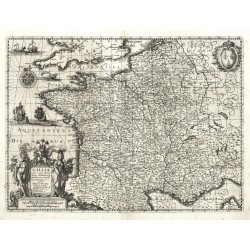
Hondius, Henricus Galliae supra omnes ... descriptioCatalog No.: 25388
France. "Galliae supra omnes ... descriptio". Orig. copperplate engraving, H. Hondius, 1633. With figure title cartouche, a coat of arms, windrose, 3 ships and 2 sea creatures. 37:50 cm.
8 000,00 KčFor sale -
Ortelius, Abraham (author) Mercator, Gerardus (other authors) Flandriae Comitatus DescriptioCatalog No.: 25387
Flanders. "Flandriae Comitatus Descriptio". Orig. copperplate engraving after G. Mercator's map of the region. Published by A. Ortelius in Antwerp, 1595. With ornemental title cartouche with a coat of arms. 37,5:49 cm.
10 500,00 KčFor sale -
Schamberg, A. Der Lange Markt in DanzigCatalog No.: 25378
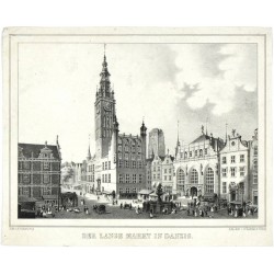
Gdańsk. "Der Lange Markt in Danzig". Orig. Lithography, A. Schamberg. Published by A. Rahnke, Elbląg, ca. 1840. With many figures in the foreground and German title under the picture. 15,5:20,5 cm (the picture).
1 800,00 KčFor sale -
Mercator, Gerardus Svecia et Norvegia cum confinijsCatalog No.: 25376
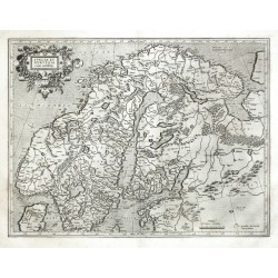
Scandinavia. "Svecia et Norvegia cum confinijs". Orig. copperplate engraving, G. Mercator, 1589. Published by H. Hondius in Amsterdam, 1630. With ornamental title-cartouche and the scale of map. 36:47,5 cm.
14 500,00 KčFor sale -
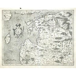
Mercator, Gerardus LivoniaCatalog No.: 25375
Latvia and Estonia. "Livonia". Orig. copperplate engraving, G. Mercator, 1589. Published by H. Hondius in Amsterdam, 1630. With ornamental title-cartouche and the scale of map. 36,5:47 cm.
9 500,00 KčFor sale -
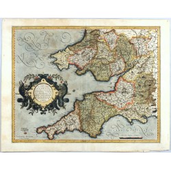
Mercator, Gerardus Cornubia, Devonia, Somersetus, Dorcestria ...Catalog No.: 25369
South West England and South Wales. "Cornubia, Devonia, Somersetus, Dorcestria ...". Orig. copperplate engraving, G. Mercator. Published in Duisburg by Mercator's heirs, 1595. Orig. old colouring. With ornamental title cartouche. 36,5:46,5 cm
13 500,00 KčFor sale -
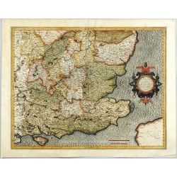
Mercator, Gerardus Warwicum, Northhamtonia, Huntingdonia ...Catalog No.: 25368
South East England. "Warwicum, Northhamtonia, Huntingdonia ...". Orig. copperplate engraving, G. Mercator. Published in Duisburg by Mercator's heirs, 1595. Orig. old colouring. With ornamental title cartouche. 36,5:46,5 cm.
13 500,00 KčFor sale -
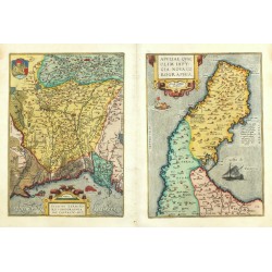
Ortelius, Abraham (author) Gastaldi, Giacomo (other authors) Patavini Territorii ... Apuliae ...Catalog No.: 25367
Veneto and Apulia. "Patavini Territorii ... Apuliae quae olim Iapygia ...". Orig. copperplate engravings after G. Gastaldi's maps. Published by A. Ortelius, 1592. Orig. old colouring. 2 maps printed from two plates, each 31:22 cm.
8 000,00 KčFor sale -
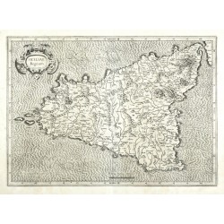
Mercator, Gerardus Siciliae RegnumCatalog No.: 25360
Sicily. "Siciliae Regnum". Orig. copperplate engraving, G. Mercator, 1589. Published by H. Hondius in Amsterdam, 1630. With ornamental title-cartouche and the scale of map. 34:47,5 cm.
9 000,00 KčFor sale -
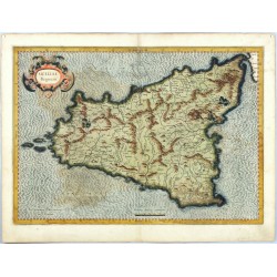
Mercator, Gerardus Siciliae RegnumCatalog No.: 25359
Sicily. "Siciliae Regnum". Orig. copperplate engraving, G. Mercator, Duisburg, 1589. Orig. old colouring. With ornamental title-cartouche and a scale of map. 34:47,5 cm.
15 000,00 KčFor sale -
Seutter, Matthäus (author) de Fer, Nicolas (other authors) Melite vulgo MaltaCatalog No.: 25349
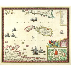
Malta, Gozo, Comino. "Melite vulgo Malta cum ...". Orig. copperplate engraving after N. de Fer map. Published by M. Seutter, ca. 1730. Orig. old colouring. With title cartouche, an inset plan of Valetta and 68 coats of arms erby grand masters of the Knights Hospitaller. 50:58 cm.
50 000,00 KčFor sale -
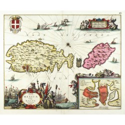
Janssonius, Johannes Insulae Melitae Vulgo Malte Nova et...Catalog No.: 25348
Malta, Gozo, Comino. "Insulae Melitae Vulgo Malte Nova et accurata Descriptio". Orig. copperplate engraving, J. Janssonius. Published by P. Schenk and G. Valk, ca. 1690. Original old colouring. With figure title cartouche and inset plan of Valetta. 41:51 cm.
48 000,00 KčFor sale -
Wit, Frederik de Insula Malta accuratisime Delineata...Catalog No.: 25347
Malta, Gozo, Comino. "Insula Malta accuratisime Delineata Urbibus, et Fortalitiis expressa". Orig. copperplate engraving, F. de Wit, ca. 1680. Original old colouring. With decorative title cartouche with inset plan of Valetta. 44,5:54 cm.
30 000,00 KčFor sale -
Visscher, Nicolaes Insularum Meliate Vulgo Maltae et Gozae...Catalog No.: 25346
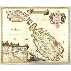
Malta, Gozo, Comino. "Insularum Meliate Vulgo Maltae et Gozae Novissima Delineatio". Orig. copperplate engraving, N. Visscher, ca. 1680. Original old colouring. With figure title cartouche and inset map of Western Mediterranean. 46:56,5 cm.
50 000,00 KčFor sale -
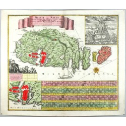
Homann, Johann Baptist Insularum Maltae et GozaeCatalog No.: 25345
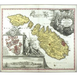
Malta, Gozo, Comino. "Insularum Maltae et Gozae ... Delineatio Geographica". Orig. copperplate engraving, J. B. Homann, ca. 1720. Original old colouring. With great figure title cartouche and inset fortification plan and a panoramic view of Valletta. 48,5:58 cm.
45 000,00 KčFor sale -
Blaeu, Willem Janszoon Guiana sive Amazonum regioCatalog No.: 25343
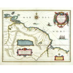
Venezuela, Guyana, Suriname, Brazil. "Guiana sive Amazonum regio". Orig. copperplate engraving, W. J. Blaeu, 1630. Orig. old colouring. With 3 ornamental cartouches, a windrose and several sailing ships. 37,5:49,5 cm (15 x 19 1/2 inch.).
8 000,00 KčFor sale -
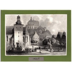
Payne, Albert Henry (author) Richter, L. (other authors) NachodCatalog No.: 25338
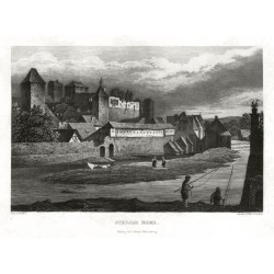
Náchod. "Nachod". Původní ocelorytina, 1841. Podle L. Richterovy kresby ryl A. H. Payne. S mnoha figurami v popředí. 10,5:15,5 cm.
600,00 KčFor sale -
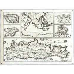
Merian, Matthäus Insula Candia olim CretaCatalog No.: 25330
Crete, Greece. "Insula Candia olim Creta" (title in map). Orig. copperplate engraving, M. Merian, Theatrum Europaeum, Frankfurt am Main, 1672. With 5 inset maps. 31:42,5 cm.
6 500,00 KčFor sale -
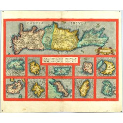
Ortelius, Abraham Archipelagi Insularum Aliquot Descrip.Catalog No.: 25329
Crete and the Aegean Islands. "Archipelagi Insularum Aliquot Descrip.". Orig. copperplate engarving, A Ortelius, Antwerp, 1584. Orig. old colouring. With decorative title cartouche and 10 inset maps. 36,5:51 cm.
13 500,00 KčFor sale -
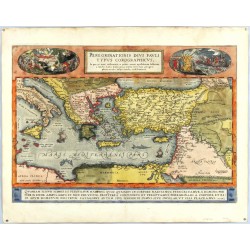
Ortelius, Abraham Peregrinationis Divi Pauli Typus...Catalog No.: 25326
Eastern Mediterranean. "Peregrinationis Divi Pauli Typus Corographicus". Orig. copperplate engraving, A. Ortelius, 1579. Orig. old colouring. With decorative title-cartouche with scenes from the life of St.Paul on the sides. 35:50,5 cm.
35 000,00 KčFor sale -
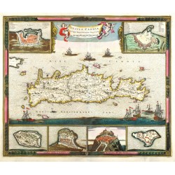
Wit, Frederik de Insula Candia Ejusque FortificatioCatalog No.: 25325
Crete. "Insula Candia Ejusque Fortificatio". Orig. copperplate engraving, F. de Wit, Amstedam, 1680. Orig old colouring. With title cartouche with 2 cehrubs, many ships and 6 inset maps. 46:55 cm.
35 000,00 KčFor sale -
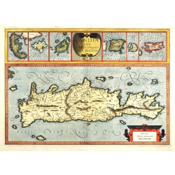
Mercator, Gerardus Candia cum Insulis aliquot circa GraeciamCatalog No.: 25324
Crete and other Greek islands. "Candia cum Insulis aliquot circa Graeciam". Orig. copperplate engraving, G. Mercator, 1589. Orig. old colouring. With ornamental title cartouche, another cartouche with the scale of map and 6 inset maps. 34:47,5 cm.
13 500,00 KčFor sale -
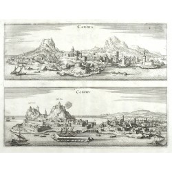
Merian, Matthäus Candia. CorphuCatalog No.: 25323
Heraklion (Crete) and Corfu. "Candia. Corphu". Orig. copperplate engraving from M. Merian's 'Neuwe Archontologica Cosmica', 1638. Two views printed from one plate. 27:35,5 cm.
4 500,00 KčFor sale -
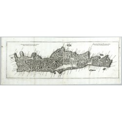
Merian, Matthäus der Jüngere Genuina Delineatio Insulae CretaeCatalog No.: 25321
Crete. "Genuina Delineatio Insulae Cretae ... Eigentlicher Abriß der Vornehmen Insul Creta". Orig. copperplate engraving from 'Genuina delineatio Insular Cretae quam moderni Candiam appellant ...', M. Merian the Younger, 1670. 22,5:69,5 cm.
9 500,00 KčFor sale -
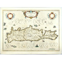
Blaeu, Joan Candia, olim CretaCatalog No.: 25320
Crete. "Candia, olim Creta". Orig. copperplate engraving, J. and C. Blaeu, Amsterdam, 1641. Orig. old colouring. With ornamental title cartouche, 2 blank shields and 2 sailing ships. 38,5:53 cm.
9 500,00 KčFor sale -
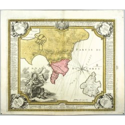
Homann, Johann Baptist Plan de la place de CorfuCatalog No.: 25319
Corfu (Greece). "Plan de la place de Corfu". Orig. copperplate engraving, J. B. Homann, Nuremberg, 1716. With great figure cartouche and decorative border. 48,5:56 cm.
15 000,00 KčSold -
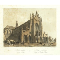
Haun, August Kloster Sedlec. Marien Kirche. Klášter...Catalog No.: 25304
Kutná Hora - Sedlec. "Kloster Sedlec. Marien Kirche. Klášter Sedlecký. Chrám sv. Panny Marie". Pův. tónovaná litografie. Podle vlastní kresby litografoval A. Haun. Vydal E. Hölzel v Olomouci, 1860. 19,5:26,5 cm.
1 500,00 KčFor sale -
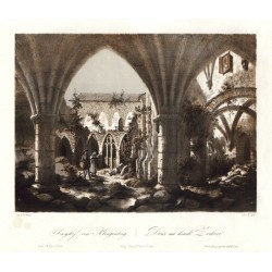
Haun, August Burghof von Klingenberg. Dvůr na hradě...Catalog No.: 25289
Zvíkov. "Burghof von Klingenberg. Dvůr na hradě Zvíkově". Pův. tónovaná litografie. Podle F. Kalivodovy kresby litografoval A. Haun. Vyd. E. Hölzel v Olomouci, 1860. Sign. "Haun" v desce dole. 19,5:26,5 cm.
1 500,00 KčFor sale -
Haun, August Der Plöckensteiner See. Jezero PlekenšteinskéCatalog No.: 25288
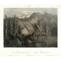
Šumava. Plešné jezero. "Der Plöckensteiner See. Jezero Plekenšteinské". Pův. tónovaná litografie. Podle E. Heroldovy kresby litografoval A. Haun. Sign. "Haun" v desce vlevo dole. Vydal E. Hölzel v Olomouci, 1860. 19,5:26,5 cm.
1 800,00 KčFor sale -
Haun, August Bürglitz. Hrádek KřivoklátCatalog No.: 25282
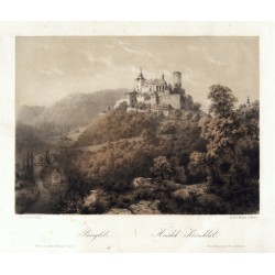
Křivoklát. "Bürglitz. Hrádek Křivoklát". Pův. tónovaná litografie. Podle vlastní kresby litografoval A. Haun. Tiskl W. Korn v Berlíně. Vydal E. Hölzel v Olomouci, 1860. Sign. "Haun" v desce. S něm.-čes. titulem pod obrázkem. 19,5:26,5 cm.
2 000,00 KčFor sale -
Rosée, Christian (author) Poppel, Johann (other authors) Die Hauptkirche in EgerCatalog No.: 25260
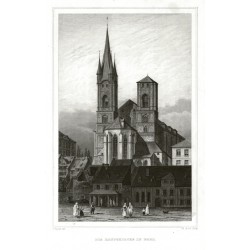
Cheb. Kostel svatého Mikuláše a svaté Alžběty. "Die Hauptkirche in Eger". Původní ocelorytina z W. A. Gerle: Bilder aus Böhmens Vorzeit. Podle J. Poppelovy kresby ryl Ch. Rosée. Vyd. G. G. Lange, Darmstadt, 1842. 16,5:11 cm.
600,00 KčFor sale -
Vogt, Johann Georg Plzeň ("Bilsen")Catalog No.: 25259
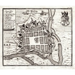
Plzeň. "Bilsen". Pův. mědirytina podle J. G. Vogta z jeho díla "Das jetzt-lebende Königreich Böhmen". Vyd. J. Ziegern ve Frankfurtu n. Mohanem a Lipsku, 1712. S tit. kartuší, vysvětlivkami a erbem. 13,5:16,5 cm.
1 600,00 KčFor sale -
Höfer, Emil (author) Würbs, Karel (other authors) Schloss EgerCatalog No.: 25258
Cheb. "Schloss Eger". Původní ocelorytina z W. A. Gerle: Bilder aus Böhmens Vorzeit. Podle C. Würbsovy kresby ryl E. E. Höfer. Vyd. G. Haase Söhne v Praze, 1842. S rybáři v popředí a něm titulem pod obrázkem. 10,5:15,8 cm.
600,00 KčFor sale -
Poppel, Johann EgerCatalog No.: 25253
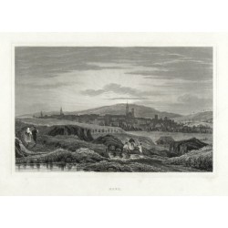
Cheb. "Eger". Původní ocelorytina. Podle vlastní kresby ryl J. Poppel. Vyd. G. Lange v Darmstadtu, 1842. S figurami v popředí a titulem pod obrázkem. 11:16,5 cm.
400,00 KčFor sale -
Homann, Johann Baptist Ducatus MediolaniCatalog No.: 25245
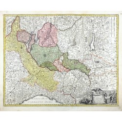
Western Lombardy - Duchy of Milan. "Ducatus Mediolani". Orig. copperplate engraving, J. B. Homann, ca. 1715. Orig. old colouring. With figure title cartouche and the scale of map. 47:58,5 cm.
4 800,00 KčFor sale -
Mercator, Gerardus Siciliae RegnumCatalog No.: 25244
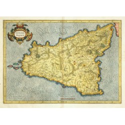
Sicily. "Siciliae Regnum". Orig. copperplate engraving, G. Mercator, Duisburg, 1589. Published by J. Janssonius and H. Hondius in Amsterdam, 1633. Coloured. With ornamental title-cartouche and a scale of map. 34:47,5 cm.
10 500,00 KčFor sale -
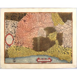
Ortelius, Abraham (author) Gastaldi, Giacomo (other authors) Pedemontanae Vicinorumque RegionumCatalog No.: 25241
Piedmnot and Liguria. "Pedemontanae Vicinorumque Regionum". Orig., copperplate engraving after G. Gastaldi's map of the region. A. Ortelius, Antwerp, 1570. With ornament. title-cartouche, a cart. with the scale of map and a ship. 37:49 cm.
9 500,00 KčFor sale -
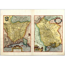
Ortelius, Abraham (author) Gastaldi, Giacomo (other authors) Patavini Territorii Corographia. Tarvisini...Catalog No.: 25240
Veneto (Padua and Treviso). "Patavini Territorii Corographia" + "Tarvisini Agri Typus". Orig. copperplate engravings, A. Ortelius, 1595. With 2 ornament. title-cartouches, a coat-of-arms and a cart. with the scale of maps. 31:23 cm + 31:24 cm.
6 200,00 KčFor Sale

