No products
Franken There are 4 items.
-
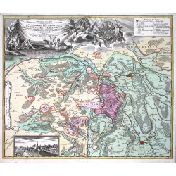
Homann Geographica Descriptio Montani cuiusdam...Catalog No.: 00272
Upper Franconia. "Geographica Descriptio Montani cuiusdam Districtus in Franconia in quo Illustrissimorum S. R. I. Comitum a Giech Particulare Territorium". Original copper plate engraving published by Homann's heirs, printed ca. 1735. 48,5:56,5 cm.
7 500,00 KčFor sale -
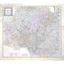
Probst, Johann Michael Der Fraenkische KreisCatalog No.: 09279
Bayern. Franken. "Der Fraenkische Kreis. Nach seiner dermaligen Länder Eintheilung". Altkol. kupferstich Karte bei J. M. Probst, Augsburg, 1789. Gest. von J. G. Probst. Mit dekorative Titelkart., kl. Nebenkarte (9:7 cm), Meilenanzeiger und Erklärungen. 50:57 cm.
5 200,00 KčFor sale -
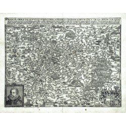
Quad, Matthias (author) Bussemacher, Johann (other authors) Francia orientalis, vulgo FranconiaCatalog No.: 03636
Franconia. "Francia orientalis, vulgo Franconia". Orig. copperplate engraving after P. Böcke's map of the region. From: M. Quad. 'Europae Totius Terrarum Orbis ...'. Published by J. Bussemacher, 1594. With title above the map, a portait and a coat of arms. 23:29,5 cm.
4 200,00 KčFor sale -
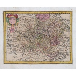
Teutschlandes Fraenckischer CreisCatalog No.: 03411
"Teutschlandes Fraenckischer Creis samt dazu gehörigen Provintzen". Altkol. Kupf.-Kte. (aus Ch. Weigels "Atlas Portatilis", 1720). Mit ornament. Titelkart. 14,5:19,5 cm.
1 500,00 KčFor sale


