No products
Antique Maps and Views
- Africa
-
America
- America (continent)
- Antilles (West Indies)
- Argentina
- Bermuda
- Brazil
- Canada
- Central America and Antilles (West Indies)
- Chile
- Columbia
- Florida
- Guyana
- Hawaiian Islands
- Honduras
- Louisiana
- Mexico
- New York
- North America
- Panama
- Paraguay
- Peru
- South America
- Straits of Magellan
- United states (USA)
- Venezuela
- Virginia
- Asia and Australia
- Atlasy
-
Europe
- Austria
-
Belgium, the Netherlands, Luxembourg
- Amsterdam
- Antwerp
- Belgium and Luxembourg
- Bergen op Zoom
- Blokzijl
- Bommenede
- Brabant
- Brugge
- Brussels
- Charleroi
- Courtrai
- Delft
- Dinant
- Dordrecht
- Elburg
- Flandres
- Fort Rammekens
- Friesland
- Friesland and Groningen
- Gelderland
- Geraardsbergen
- Grave
- Groningen
- Hainaut
- Harderwijk
- Harlingen
- Holland
- Hulst
- Huy
- Liege
- Lier
- Limbourg
- Limburg
- Louvain
- Luxemburg
- Maastricht
- Mechelen
- Middelburg
- Mons
- Namur
- Netherlands
- Netherlands and Belgium
- Nijmegen
- Ostend
- Overijssel
- Rotterdam
- Spa
- Stavoren
- The Hague
- Tiel
- Utrecht
- Veere
- Veurne
- Ypres
- Zaltbommel
- Zeeland
- Zieriksee
- Zierikzee
- Zutphen
- Zype
-
Bohemia, Moravia and Silesia
- Beroun
- Bohemia
- Brandýs nad Labem
- Branná (okr. Šumperk)
- Brno
- Brodce (okr. Mladá Boleslav)
- Broumov
- Carlsbad
- Čáslav
- Čelákovice
- Český Krumlov
- Cheb
- Chlumec nad Cidlinou
- Chomutov
- Děčín
- Dolní Olešnice - Nové Zámky
- Dvůr Králové nad Labem
- Františkovy Lázně
- Frýdlant
- Hasištejn
- Házmburk
- Hostinné
- Hradec Králové
- Hřensko
- Jáchymov
- Jaroměř
- Jihlava
- Jindřichův Hradec
- Jižní Čechy
- Kamýk u Litoměřic
- Karlštejn
- Kolín
- Konopiště
- Kostelec nad Labem
- Křivoklát
- Krkonoše
- Krupka
- Kunětická Hora
- Kutna Hora
- Kyšperk
- Lednice
- Liberec
- Libochovany
- Lipnice nad Sázavou
- Litoměřice
- Litoměřicko
- Litomyšl
- Loket
- Louny
- Lovosice
- Lysá nad Labem
- Mariánské Lázně
- Mělník
- Mladá Boleslav
- Mladoboleslavsko
- Moravia
- Most
- Náchod
- Nymburk
- Okoř
- Olomouc
- Ostrov nad Ohří
- Pardubice
- Plzeň
- Poděbrady
- Polná
- Prácheňsko
- Prague
- Přelouč
- Rabí
- Rakovnicko
- Rakovník
- Roudnice nad Labem
- Rožmberk
- Rožnov pod Radhoštěm
- Rychmburk
- Sedlec
- Slaný
- Smečno
- Smiřice
- Štětí
- Šumava
- Švamberk (Krasíkov)
- Tábor
- Tepl
- Teplice
- Terezín
- Třeboň
- Týnec nad Labem
- Uničov
- Valdštejn
- Vinec
- Vrabinec
- Vrchlabí
- Vyšší Brod
- Zákupy
- Žampach (zámek)
- Želiv
- Žireč
- Žleby
- Znojmo
- Zvíkov
- Central Europe
- Danube
- Eastern and Southeastern Europe, Balkan
- Europe (continent)
-
France
- Albi
- Anjou
- Artois
- Bar-le-Duc
- Berry
- Blois
- Bourbourg
- Bourgogne-Franche-Comté
- Bresse
- Cambrai
- Cassel
- Château de Lichtenberg
- Chaumont
- Compiegne and Noyon
- Corsica
- Dauphiné
- Elsass
- Gascogne
- Gâstinais and Senonais
- Gravelines
- Hauts-de-France
- Ile de France
- La Bassée - Hesdin
- Languedoc
- Lille
- Limoges
- Lorraine
- Lyon
- Maine
- Marseille
- Metz
- Montmélian
- Mulhouse
- Nancy
- Nice
- Normandie
- Paris
- Perche
- Picardy
- Poitou
- Provence
- Re and Oleron
- Reims - Rethel
- Saint-Omer
- Saintonge and Aunis
- Savoy
- Strasbourg
- Tarn (department)
- Vexin
-
Germany
-
Baden-Württemberg
- Bad Teinach-Zavelstein
- Balingen
- Biberach an der Riß
- Böblingen
- Bodensee
- Breisgau
- Calw
- Dornhan
- Esslingen
- Geislingen an der Steige
- Grafschaft Limpurg
- Heidelberg
- Heilbronn
- Hohenlohe
- Karlsruhe
- Mannheim
- Möckmühl
- Nagold
- Neuenbürg
- Nord-Württemberg
- Oberschwaben
- Offenburg
- Reutlingen
- Rheinpfalz
- Schwäbisch Gmünd
- Schwäbisch Hall
- Singen
- St. Blasien
- Stuttgart
- Swabia
- Tübingen
- Ulm
- Vaihingen a. d. Enz
- Wangen im Allgäu
- Weinheim
- Württemberg
-
Bavaria
- Aschaffenburg
- Augsburg
- Aurach
- Bad Abbach
- Bamberg
- Bogenberg (Wallfahrtskirche)
- Cham
- Coburg
- Donauwörth
- Eichstätt
- Forchheim
- Franken
- Freising
- Friedberg (Schwaben)
- Füssen
- Gräfenberg (Oberfranken)
- Höchstädt an der Donau
- Ingolstadt
- Kelheim
- Kempten
- Lauingen
- Lenggries
- Lindau
- Memmingen
- Mindelheim
- Mühldorf am Inn
- München
- Nabburg
- Natternberg (Schloss)
- Neuburg an der Donau
- Neumarkt in der Oberpfalz
- Neuötting
- Neustadt an der Donau
- Nördlingen
- Nürnberg
- Oberpfalz
- Pappenheim
- Passau
- Pfaffenhofen
- Pöttmes
- Rain am Lech
- Regensburg
- Saal an der Donau
- Schongau
- Schrobenhausen
- Straubing
- Thurnau
- Velden
- Vilshofen an der Donau
- Wackerstein
- Wasserburg am Inn
- Weilheim / links Polling
- Weissenburg in Bayern
- Weltenburg
- Würzburg
- Berlin
- Brandenburg
- Bremen
- Hamburg
- Hessen
- Mecklenburg-Vorpommern/Pommern
-
Niedersachsen
- Aurich
- Bad Bentheim
- Bad Gandersheim
- Bodenwerder
- Braunschweig
- Braunschweig-Lüneburg
- Celle
- Cuxhaven
- Emden
- Hann. Münden
- Hannover
- Hildesheim
- Hoya
- Liebenau an der Weser
- Lüneburg
- Niedersächsischer Kreis
- Nienburg a. d. Weser
- Oldenburg
- Osnabrück
- Osterode
- Osterwieck
- Ostfriesland
- Schnackenburg
- Schöppenstedt
- Stolzenau
- Walsrode
- Winsen an der Luhe
- Wolfenbüttel
- Nordrhein-Westfalen
- Northern Germany
- Rheinland-Pfalz
- Sachsen
- Sachsen-Anhalt
- Schleswig-Holstein
- Thüringen
-
Baden-Württemberg
-
Great Britain and Ireland
- Bedford and Buckinghamshire
- Berkshire and Hampshire
- Cambridgeshire
- Cornwall
- Cumberland
- Denbigh and Flint
- Derbyshire
- Devon
- Dorset
- Durham (County)
- England
- Essex
- Gloucestershire
- Great Britain and Ireland
- Herefordshire
- Hertfordshire
- Hertfordshire and Middlesex
- Huntingdonshire
- Ireland
- Isle of Wight
- Kent
- Leicestershire
- Lincolnshire
- London
- Middlesex
- Norfolk
- Northampton
- Northeastern England
- Northern England
- Northumberland
- Northwestern England
- Nottinghamshire
- Oxfordshire
- Scotland
- Shropshire and Staffordshire
- Somerset
- Southeastern England
- Southwestern England
- Staffordshire
- Surrey
- Sussex
- Wales
- Westmorland
- Wiltshire
- Worcestershire and Warwickshire
- Yorkshire
- Greece, Mediterranean Sea
-
Italy
- Abruzzo
- Ancona
- Apulia (Puglia)
- Arcevia
- Bari and Basilicata
- Bergamo
- Bologna
- Brescia
- Brescia and Crema
- Cadore
- Cagliari
- Caiazzo
- Calabria
- Campania
- Capitanata
- Carmagnola
- Catania
- Central Italy
- Civitavecchia
- Crema
- Cremona
- Cuneo
- Elba
- Emilia Romagna
- Faenza
- Fano
- Ferrara
- Florence
- Fondi
- Friuli
- Gaeta
- Gallipoli
- Genoa
- Ischia
- Italy
- Lazio
- Lerici
- Liguria (Italian Riviera)
- Livorno
- Lombardia
- Loreto
- Lucca
- Mantua
- Mantua
- Marche (Ancona)
- Merano
- Messina
- Milan
- Mirandola
- Modena
- Molise
- Monferrato
- Naples
- Netuno
- Nocera Umbra
- Northern Italy
- Orvieto
- Orvieto and Loreto
- Otranto
- Padua
- Palermo
- Parma
- Pavia
- Perugia
- Pesaro
- Piacenza
- Piedmont
- Pinerolo
- Piombino
- Pisa
- Po
- Pozzuoli
- Reggio di Calabria
- Reggio Emilia
- Rimini
- Rome
- Rovigo
- San Marino
- Sardinia
- Sicily
- Sicily and Malta
- Sicily and Sardinia
- Siena
- Southern Italy
- Spoleto
- Sulmona
- Taranto
- Terracina
- Tivoli
- Torino
- Tortona
- Trapani
- Trentino-Alto Adige / Südtirol
- Trento
- Treviso
- Tuscany
- Tyrol
- Udine
- Umbria
- Urbino
- Velletri
- Venice
- Vercelli
- Verona
- Vicenza
- Viterbo
- Labe
- Mediterranean Sea
- Monaco
- Poland, Silesia, Russia and the Baltic republics
- Rhine
- Scandinavia and Iceland
- Spain and Portugal
- Switzerland
- Islands (Special Catalogue)
- World, Oceans, Poles and Celestial Maps
Antique Maps and Views There are 2151 items.
Subcategories
-
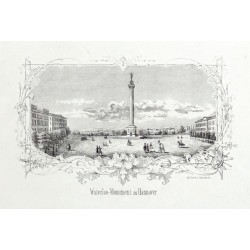
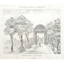
Jänecke, Gebrüder Waterloo-Monument zu HannoverCatalog No.: 22772
Hannover. "Waterloo-Monument zu Hannover". Orig. Federlithographie. Hannover: bei Gebr. Jänecke, um 1850. Mit Titel unter dem Bild. 10:17 cm.
1 200,00 KčFor sale -
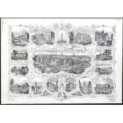
Jänecke, Gebrüder Ansicht von Hannover - SouvenirblattCatalog No.: 22771
Hannover. "Ansicht von Hannover". Orig. Federlithographie. Hannover: bei Gebr. Jänecke, um 1850. 16:21,5 cm.
2 100,00 KčFor sale -
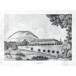
Heber, František Alexandr Žampach (zámek)Catalog No.: 22763
Žampach (zámek). "Zampach". Pův. kamenorytina z F. A. Heberova díla Böhmens Burgen, Vesten und Bergschlösser. Podle Heberovy kresby ryl P. Röhrich. Vyd. C. W. Medau v Praze, 1844. S německým titulem pod obrázkem. 13:19 cm (obrázek).
450,00 KčFor sale -
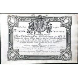
Danreiter, Franz Anton Salzburg - Die Saltzburgische...Catalog No.: 22754
Salzburg. Danreiter, Franz Anton (1695-1760). "Die Saltzburgische Kirchen-Prospect". Augsburg: Pfeffel, ca. 1730. A complete set 20 copperplates depicting cathedrals and a hospital in Salzburg with engraved title-page. Engraved by C. Rembshart, B. Hattinger and J. M. Wehrlin after Danreietr's drawings. With Ger.-Fr. titles under the pictures. Each...
200 000,00 KčFor sale -
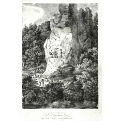
Dorner, Johann Jakob der Jüngere Monument Bei Post Saal an der DonauCatalog No.: 22693
Saal an der Donau (Kelheim district). "Monument Bei Post_Saal an der Donau". Orig. chalk lithograph by Johann Jakob Dorner the Younger, 1803. 58:41,8 cm. With lithographic title under the picture.
7 500,00 KčFor sale -
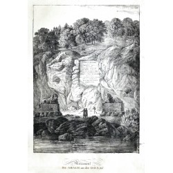
Dorner, Johann Jakob der Jüngere Monument Bei Abach an der DonauCatalog No.: 22692
Bad Abbach (Kelheim district). "Monument Bei Abach an der Donau". Orig. chalk lithograph by Johann Jakob Dorner the Younger, 1803. 58,7:42 cm. With lithographic title under the picture.
6 000,00 KčFor sale -
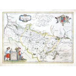
Blaeu, Willem Janszoon Picardia Regio BelgicaCatalog No.: 22655
Picardy. "Picardia Regio Belgica, Auctore Ioanne Surhonio". Orig. copper-engraving after J. Surhon's map of the region. G. and J. Blaeu, Amsterdam, 1634. With fig. title cartouche, ornament. cartouche with the scale of map and a great coat-of-arms with 2 cherubs. 38,5:53,5 cm (15 1/4 x 21 inch.).
3 000,00 KčFor sale -
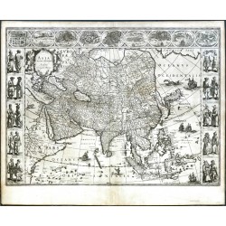
Blaeu, Willem Janszoon Asia noviter delineataCatalog No.: 22654
Asia. "Asia noviter delineata". Orig. copper-engraving. W. J. Blaeu, Amsterdam, 1630. With figure title-cartouche and several ships, animals and sea-creatures. 41:55,5 cm.
65 000,00 KčFor sale -
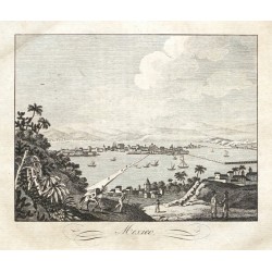
Mexico CityCatalog No.: 22622
Mexico City. "Mexico". Orig. copper-engraving from C. Rainold. Prague: Pospisil, 1830. With title under the picture. 15:16,5 cm (6 x 6 1/2 inch.).
900,00 KčFor sale -
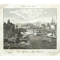
Rio de JaneiroCatalog No.: 22621
Rio de Janeiro. "Přístaw v Rio Janeiro. Der Hafen von Rio Janeiro". Orig. copper-engraving after J. Boehm's drawing from C. Rainold. Prague: Pospisil, 1830. With Czech title above picture and German title under it. 15:16,5 cm (6 x 6 1/2 inch.).
900,00 KčFor sale -
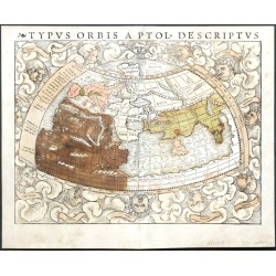
Münster, Sebastian Typus Orbis a Ptol. DescriptusCatalog No.: 22519
The World. "Typus Orbis a Ptol. Descriptus". Orig. woodcut, S. Münster after C. Ptolemy's map of the Ancient World. Orig. old coluring. Basle, H. Petri, 1540. With Latin title at the top and 12 classical windheads in the decorative region outside the map, each named....
20 000,00 KčFor sale -
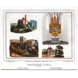
Zahradniczek, Josef Rakonitzer KreisCatalog No.: 22400
Rakovnický kraj. Rakovnicko. "Rakonitzer Kreis". Pův. barevná litografie. Podle J. Fischbachovy kresby litografoval J. Zahradniczek. Tiskl Alois Leykum. Vydal H. F. Müller ve Vídni, 1840. 4 pohledy tištěné z jedné desky s lito. titulem pod obrázkem. 14,5:20 cm.
1 200,00 KčFor sale -
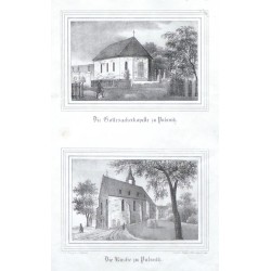
Möckel, Julius Die Gottesackerkapelle zu PulsnitzCatalog No.: 22389
Pulsnitz. "Die Gottesackerkapelle zu Pulsnitz", darunter "Die Kirche zu Pulnitz". Orig. Lithographien von Renner und Ketzschau nach Zeichnungen von Julius Möckel. Aus Sachsens Kirchen-Galerie. Dresden, H. Schmidt, 1837. Je. 10:14,5 cm.
450,00 KčFor sale -
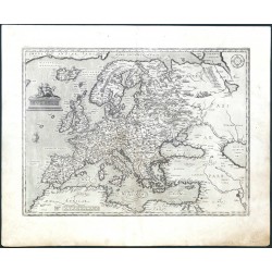
Ortelius, Abraham EuropaeCatalog No.: 22312
Europe. "Europae". Orig. copper-engraving, A. Ortelius, first published 1584 (in Theatrum Orbis Terrarum). With figure title-cartouche, a sailing ship and tents of the Tartar and a wind-rose upper right. 34,5:46,5 cm (13 1/2 x 18 1/4 inch.).
21 000,00 KčFor sale -
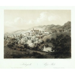
Haun, August Hohenfurth. Wyšší BrodCatalog No.: 22297
Vyšší Brod. "Hohenfurth. Wyšší Brod". Pův. dvoubarevná litografie s podtiskem od A. Hauna (1815-1894) podle H. vlastní kresby. Sign. "Haun" v desce. Tiskl W. Korn v Berlíně. Vydal E. Hölzel v Olomouci, 1860. 19,5:26,5 cm.
1 800,00 KčFor sale -
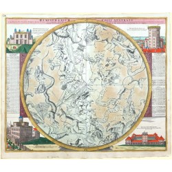
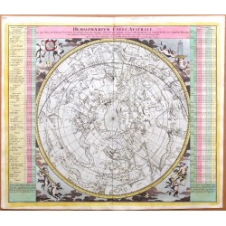
Doppelmayr, Johann Gabriel Hemisphaerium Coeli AustraleCatalog No.: 22216
Constellations. Doppelmayr. "Hemisphaerium Coeli Australe". Orig. copper-engraving from J. G. Doppelmayr's Atlas Coelestis. Published by J. B. Homann in Nuremberg, ca. 1720. Orig. old colouring. A chart of the southern hemisphere constellations ...
21 000,00 KčFor sale -
Doppelmayr, Johann Gabriel Hemisphaerium Coeli AustraleCatalog No.: 22215
Constellations. Doppelmayr. "Hemisphaerium Coeli Australe". Orig. copper-engraving from J. G. Doppelmayr's Atlas Coelestis. Published by J. B. Homann in Nuremberg, ca. 1720. Orig. old colouring. An oval chart of the of the constellationes of the southern sky. 49:58 cm.
21 000,00 KčFor sale -
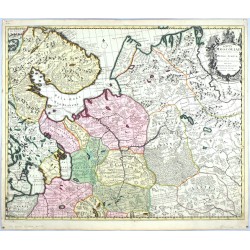
Schenk, Peter & Valck, Gerard Tabula MoscoviaeCatalog No.: 22166
Northwestern Russia. "Tabula Moscoviae". Original copperplate engraving. Published by P. Schenk in Amsterdam, ca. 1700. Original old colouring. With decorative title cartouche with a coat of arms. 50:61 cm (19 3/4 x 24 inch.).
7 000,00 KčFor sale -
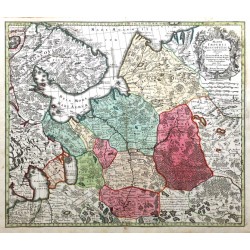
Seutter, Matthäus Mappae Imperii Moscovitici pars...Catalog No.: 22165
Northwestern Russia. "Mappae Imperii Moscovitici pars Septentrionalis". Original copperplate after G. de l'Isle's map. Published by Mattheus Seutter, ca. 1740. Original old colouring. With decorative title cartouche with a coat of arms. 50:58 cm (19 3/4 x 22 3/4 inch.).
7 000,00 KčFor sale -
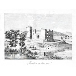
Heber, František Alexandr Machow im Jahre 1760Catalog No.: 22139
Machov. "Machow im Jahre 1760". Pův. kamenorytina z F. A. Heberova díla Böhmens Burgen, Vesten und Bergschlösser. Ryl J. Fark. Vyd. C. W. Medau v Praze, 1844. S figurami v popředí a německým titulem pod obrázkem. 12,7:18,8 cm (obrázek).
450,00 KčFor sale -
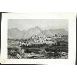
KrainbergCatalog No.: 22108
Kranj. "Krainberg". Orig. steel-engraving, ca. 1850. With several figures in the foregrund and German title under the picture. 14,5:22 cm.
950,00 KčFor sale -
Bürger, Robert - Semmler, C. G. Festung JosephstadtCatalog No.: 22077
Josefov. "Festung Josephstadt". Pův. litografie. Podle vlastní kresby litografoval R. Bürger. Z: C. G. Semmler - 'Der Elbstrom, von seinem Ursprunge bis zu seiner Mündung in die Nordsee ...'. Drážďany: Semmler, 1845. Tiskl F. Weider. S figurami v popředí. 18,5:24,5 cm.
1 100,00 KčFor sale -
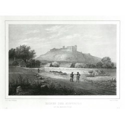
Arldt, Carl Wilhelm - Semmler, C. G. Ruinen der Kuneburg auf dem kunietitzer BergeCatalog No.: 22076
Kunětická Hora. "Ruinen der Kuneburg auf dem kunietitzer Berge". Pův. litografie. Podle vlastní kresby litografoval C. W. Arldt. Z: C. G. Semmler - 'Der Elbstrom, von seinem Ursprunge bis zu seiner Mündung in die Nordsee ...'. Drážďany: Semmler, 1845. Tiskl F. Weider. S figurami v popředí. 18:24 cm.
1 100,00 KčFor sale -
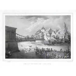
Bürger, Robert - Semmler, C. G. Die Kettenbrücke bei JaromirschCatalog No.: 22074
Jaroměř. "Die Kettenbrücke bei Jaromirsch". Pův. litografie. Podle vlastní kresby litografoval R. Bürger. Z: C. G. Semmler - 'Der Elbstrom, von seinem Ursprunge bis zu seiner Mündung in die Nordsee ...'. Drážďany: Semmler, 1845. Tiskl F. Weider. 18:24,5 cm.
1 100,00 KčFor sale -
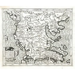
Mercator, Gerardus Macedonia, Epir et AchaiaCatalog No.: 22062
Greece, Abania and Macedonia. "Macedonia, Epir et Achaia". Orig. copper-engraving from the French ed. of Mercator's "Atlas Minor". Published in Amsterdam by J. Hondius, C. Claesz. and J. Jansz., 1607. With ornamental title-cartouche with the scale of map ("Milliaria Italica"). 14,5:17,5 cm.
2 100,00 KčFor sale -
Klimsch Markt Brodetz im Bunzl. Kr.Catalog No.: 21970
Brodce (okr. Mladá Boleslav). "Markt Brodetz im Bunzl. Kr.". Pův. litografie. Podle J. Quaiserovy kresby litografoval F. K. Klimsch. Tiskl C. Hennig, Praha, 1836. 17:21,5 cm.
400,00 KčFor sale -
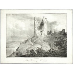
Kunike, Adolph Friedrich Ungern. Alter Thurm zu VicegradCatalog No.: 21936
Visegrád. "Ungern. Alter Thurm zu Vicegrad". Orig. lithography by A. Kunike after J. Alt's drawing. Published by Kunike in Vienna, 1826. With a figure in the foreground and lithographic title under the picture. 26:35,5 cm (the picture).
2 100,00 KčFor sale -
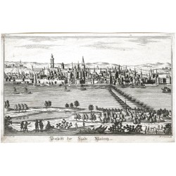
Sommer, A. Prospekt der Stadt MaintzCatalog No.: 21914
Mainz. "Prospekt der Stadt Maintz". Orig. copper-engraving by A. Somnmer after J. Eder's drawing. Published in Vienna, ca. 1795. With several figures in the foreground and title under the picture. 17:27 cm.
2 500,00 KčFor sale -
Arldt, Carl Wilhelm - Semmler, C. G. Hradec Králové - Stadt und Festung KöniggrätzCatalog No.: 21902
Hradec Králové. "Stadt und Festung Königgrätz". Pův. litografie. Podle vlastní kresby litografoval C. W. Arldt. Z: C. G. Semmler - 'Der Elbstrom, von seinem Ursprunge bis zu seiner Mündung in die Nordsee ...'. Drážďany: Semmler, 1845. Tiskl F. Weider. S figurami v popředí a titulem pod obrázkem. 15:22,5 cm.
1 700,00 KčFor sale -
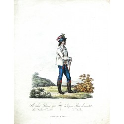
Mollo, Tranquillo Slavischer Bauer aus dem Neutraer ComitatCatalog No.: 21834
Nitra. "Slavischer Bauer aus dem Neutraer Comitat. Paysan Slave du comitat de Neutra". Pův., akvarelem staře kolorovaný obrysový lept. Leptal a vydal T. Mollo ve Vídni, ca. 1810. S něm.-fr. titulem pod obrázkem. 31,5:24 cm.
1 800,00 KčFor sale -
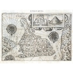
Lodewijcksz, Willem Lisle BaliCatalog No.: 21761
Bali. "Lisle Bali". Orig. copper-engraving from W. Lodewijcksz's (also Lodewycksz) "Premier Livre de l'Histoire de la Navigation aux Indes Orientales". Published by C. Clesz in Amsterdam, 1598. With title above the map. 14,5:21,5 cm.
10 000,00 KčFor sale -
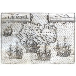
Lodewijcksz, Willem S HelenaCatalog No.: 21760
Saint Helena. "S Helena". Orig. copper-engraving from W. Lodewijcksz's (also Lodewycksz) "Premier Livre de l'Histoire de la Navigation aux Indes Orientales". Published by C. Clesz in Amsterdam, 1598. With engraved title in map. 14,5:21 cm.
10 000,00 KčFor sale -
Neck, Jacob Cornelisz. van La Carte de BandaCatalog No.: 21759
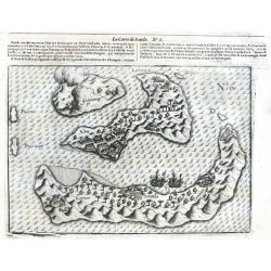
Banda Islands. "La Carte de Banda". Orig. copper-engraving from J. Cornelisz. van Neck's "Le second livre, Iournal ou Comptoir ... du Voiage ... 1598". Published by C. Clesz, Amsterdam for Bonaventure Dacivelle, Calais, 1601. With title above the map. 14:20 cm.
8 000,00 KčFor sale -
Veer, Gerrit de Insula Kildyn. ColaCatalog No.: 21757
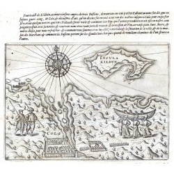
Kildin Island and Kola Harbor (Russia). "Insula Kildyn. Cola". Orig. copper-engraving from G. de Veer's French edition of 'Diarium Nauticum'. Published by C. Claesz in Amsterdam, 1598. With title in map, a wind-rose, depiction of native people and French comment above the map. 14,5:20,5 cm.
12 000,00 KčFor sale -
Veer, Gerrit de LappiaCatalog No.: 21756
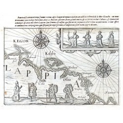
Kola Peninsula (Russia). "Lappia". Orig. copper-engraving from G. de Veer's French edition of 'Diarium Nauticum'. Published by C. Claesz in Amsterdam, 1598. With title in map, 2 wind-roses, ornamental cartouche with depiction of native people, another native people in the map and French comment above the map. 14:20,5 cm.
15 000,00 KčFor sale -
Veer, Gerrit de Caerte van Nova ZemblaCatalog No.: 21755
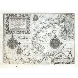
Novaya Zemlya (Russia). "Caerte van Nova Zembla, de Weygats, de custe van Tartarien ...". Orig. copper-engraving from G. de Veer's French edition of 'Diarium Nauticum'. Published by C. Claesz in Amsterdam, 1598. Engraved by Baptista van Doetecum after G. de Veer's map of the region. With ornamental title-cartouche, 2 wind-roses, the scale of map, 2 ships,...
32 000,00 KčFor sale -
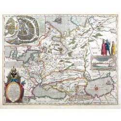
Blaeu, Willem Janszoon Tabula RussiaeCatalog No.: 21733
Russia. "Tabula Russiae". Orig. copperplate engraving, W. J. Blaeu, 1634, after H. Gerritsz' map of Russia from 1614. Published by J. and C. Blaeu in Amsterdam, 1640. Orig. old colouring. With decorative title-cartouche, inset plan of Moscow and a cartouche with a view of Arkhangelsk. 43:55 cm.
42 000,00 KčFor sale -
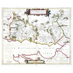
Blaeu, Joan (author) Pont, Timothy (other authors) Annandiae Praefectura, Vulgo The...Catalog No.: 21659
Scotland. Annandale. "Annandiae Praefectura, Vulgo The Stewartrie of Annandail". Orig. copperplate engraving after T. Pont's map of the region. Published by J. Blaeu in Amsterdam, 1654. Original old colouring. 42,5:51 cm.
5 800,00 KčFor sale -
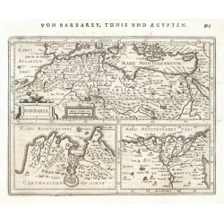
Mercator, Gerardus BarbariaCatalog No.: 21647
North Africa. "Barbaria". Orig. copper-engraving from Mercator's Atlas Minor. Published in Amsterdam by J. Janssonius, 1648-51. 14,5:19 cm.
2 400,00 KčFor sale -
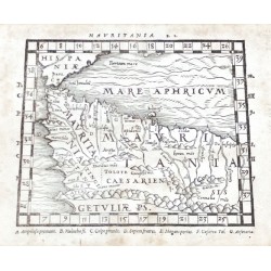
Mela, Pomponius MauritaniaCatalog No.: 21646
Northwest Africa (Morocco, Algeria). "Mauritania" (title above the map). Orig. woodcut from P. Mela's "De Orbis Situ Libri tres". Published by Henric Perti in Basel, 1564. 12,5:16 cm (5 x 6 1/4 inch.).
2 000,00 KčFor sale -
Mela, Pomponius (author) Ptolemy, Claudius (other authors) AfricaCatalog No.: 21645
Northern Africa. "Africa" (title above the map) - "Lybia Interior" (title in map). Orig. woodcut from P. Mela's "De Orbis Situ Libri tres". Published by Henric Perti in Basel, 1564. 12,5:15,5 cm (5 x 6 1/4 inch.).
2 500,00 KčFor sale -
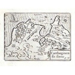
Visscher, Claes Jansz. Carthaginensis sinusCatalog No.: 21643
Tunis. "Carthaginensis sinus". Orig. copper-engraving. Published by C. J. Visscher in Amsterdam, 1649 (in Tabulae Geographicae Contrare). With ornamental title-cartouche, a sea-creature and a ship. 9:12,5 cm.
1 800,00 KčFor sale -
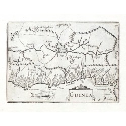
Visscher, Claes Jansz. GuineaCatalog No.: 21641
Guinea. "Guinea". Orig. copper-engraving. Published by C. J. Visscher in Amsterdam, 1649 (in Tabulae Geographicae Contrare). With ornamental title-cartouche and a sea-creature. 9:12,5 cm.
1 800,00 KčFor sale -
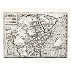
Visscher, Claes Jansz. Abissinorum ImperiumCatalog No.: 21640
Central Africa. "Abissinorum Imperium". Orig. copper-engraving. Published by C. J. Visscher in Amsterdam, 1649 (in Tabulae Geographicae Contrare). With ornamental title-cartouche, a ship and a sea-creature. 9:12,5 cm.
2 800,00 KčFor sale -
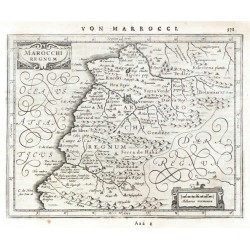
Mercator, Gerardus Marocchi RegnumCatalog No.: 21639
Morocco. "Marocchi Regnum". Orig. copper-engraving from Mercator's Atlas Minor. Published in Amsterdam by J. Janssonius, 1648. 15:19 cm.
2 400,00 KčFor sale -
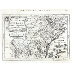
Mercator, Gerardus Abissinorum sive Pretiosi Ioannis ImperiumCatalog No.: 21638
Central Africa. "Abissinorum sive Pretiosi Ioannis Imperium". Orig. copper-engraving after G. Mercator's map of the region. Engraved by P. Kaerius. Published in Amsterdam by J. Janssonius, 1648. With ornamental title-cartouche with the scale of map. 13,5:19,5 cm.
3 000,00 KčFor sale -
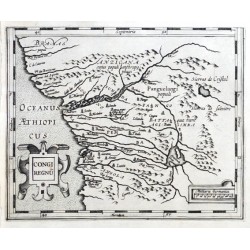
Mercator, Gerardus Congi RegnumCatalog No.: 21637
Congo (Western Africa). "Congi Regnum". Orig. copper-engraving from G. Mercator's Atlas Minor. Published in Amsterdam by J. Hondius, C. Claesz. and J, Jansz., 1607. With ornamental title-cartouche and another ornamental cartouche with the scale of map. 14:17,5 cm.
1 500,00 KčFor sale -
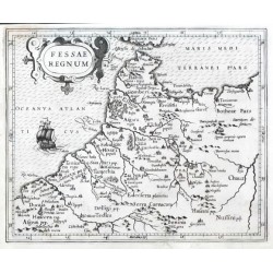
Mercator, Gerardus Fessae RegnumCatalog No.: 21635
Morocco. "Fessae Regnum". Orig. copper-engraving from G. Mercator's Atlas Minor. Published in Amsterdam by J. Hondius, C. Claesz. and J, Jansz., 1607. With ornamental title-cartouche and a ship. 15,5:19 cm.
1 800,00 KčFor sale -
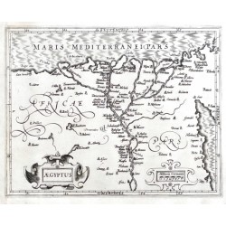
Mercator, Gerardus AegyptusCatalog No.: 21632
Egypt. "Aegyptus". Orig. copper-engraving from G. Mercator's Atlas Minor. Published in Amsterdam by J. Hondius, C. Claesz. and J, Jansz., 1607. With ornamental title-cartouche and another ornamental cartouche with the scale of map. 15:19 cm.
2 100,00 KčFor sale -
Mercator, Gerardus (author) Keere, Pieter van den (Petrus Kaerius) (other authors) GuineaCatalog No.: 21631
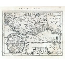
Guinea. "Guinea". Orig. copper-engraving from G. Mercator's Atlas Minor. Engraved by P. Kaerius (van den Keere). Published in Amsterdam by J. Janssonius, 1648-51. With ornamental title-cartouche, the scale of map and a cartouche with inset map of Saint Thomas (São Tomé) Island. 14:18,5 cm.
2 500,00 KčFor sale

