No products
Europe
- Austria
-
Belgium, the Netherlands, Luxembourg
- Amsterdam
- Antwerp
- Belgium and Luxembourg
- Bergen op Zoom
- Blokzijl
- Bommenede
- Brabant
- Brugge
- Brussels
- Charleroi
- Courtrai
- Delft
- Dinant
- Dordrecht
- Elburg
- Flandres
- Fort Rammekens
- Friesland
- Friesland and Groningen
- Gelderland
- Geraardsbergen
- Grave
- Groningen
- Hainaut
- Harderwijk
- Harlingen
- Holland
- Hulst
- Huy
- Liege
- Lier
- Limbourg
- Limburg
- Louvain
- Luxemburg
- Maastricht
- Mechelen
- Middelburg
- Mons
- Namur
- Netherlands
- Netherlands and Belgium
- Nijmegen
- Ostend
- Overijssel
- Rotterdam
- Spa
- Stavoren
- The Hague
- Tiel
- Utrecht
- Veere
- Veurne
- Ypres
- Zaltbommel
- Zeeland
- Zieriksee
- Zierikzee
- Zutphen
- Zype
-
Bohemia, Moravia and Silesia
- Beroun
- Bohemia
- Bohemia, Moravia and Silesia
- Brandýs nad Labem
- Branná (okr. Šumperk)
- Brno
- Brodce (okr. Mladá Boleslav)
- Broumov
- Carlsbad
- Čáslav
- Čelákovice
- Cheb
- Chlumec nad Cidlinou
- Chomutov
- Děčín
- Dolní Olešnice - Nové Zámky
- Dvůr Králové nad Labem
- Františkovy Lázně
- Frýdlant
- Hasištejn
- Házmburk
- Hostinné
- Hradec Králové
- Hřensko
- Jáchymov
- Jaroměř
- Jihlava
- Jindřichův Hradec
- Jižní Čechy
- Kamýk u Litoměřic
- Karlštejn
- Kolín
- Konopiště
- Kostelec nad Labem
- Křivoklát
- Krkonoše
- Krupka
- Kunětická Hora
- Kutna Hora
- Kyšperk
- Lednice
- Liberec
- Libochovany
- Lipnice nad Sázavou
- Litoměřice
- Litomyšl
- Loket
- Louny
- Lovosice
- Lysá nad Labem
- Mariánské Lázně
- Mělník
- Mladá Boleslav
- Mladoboleslavsko
- Moravia
- Most
- Nymburk
- Okoř
- Olomouc
- Ostrov nad Ohří
- Plzeň
- Poděbrady
- Polná
- Prácheňsko
- Prague
- Přelouč
- Přerovsko
- Rabí
- Rakovnicko
- Rakovník
- Roudnice nad Labem
- Rožmberk
- Rožnov pod Radhoštěm
- Rychmburk
- Sedlec
- Slaný
- Smečno
- Smiřice
- Štětí
- Šumava
- Švamberk (Krasíkov)
- Tábor
- Tepl
- Teplice
- Terezín
- Třeboň
- Týnec nad Labem
- Uničov
- Valdštejn
- Vinec
- Vrabinec
- Vrchlabí
- Vyšší Brod
- Zákupy
- Žampach (zámek)
- Želiv
- Žireč
- Žleby
- Znojmo
- Zvíkov
- Central Europe
- Danube
- Eastern and Southeastern Europe, Balkan
- Europe (continent)
-
France
- Albi
- Anjou
- Artois
- Bar-le-Duc
- Berry
- Blois
- Bourbourg
- Bourgogne-Franche-Comté
- Bresse
- Cambrai
- Cassel
- Château de Lichtenberg
- Chaumont
- Compiegne and Noyon
- Corsica
- Dauphiné
- Elsass
- Gascogne
- Gâstinais and Senonais
- Gravelines
- Hauts-de-France
- Ile de France
- La Bassée - Hesdin
- Languedoc
- Lille
- Limoges
- Lorraine
- Lyon
- Maine
- Marseille
- Metz
- Montmélian
- Mulhouse
- Nancy
- Nice
- Normandie
- Paris
- Perche
- Picardy
- Poitou
- Provence
- Re and Oleron
- Reims - Rethel
- Saint-Omer
- Saintonge and Aunis
- Savoy
- Strasbourg
- Tarn (department)
- Vexin
-
Germany
-
Baden-Württemberg
- Bad Teinach-Zavelstein
- Balingen
- Biberach an der Riß
- Böblingen
- Bodensee
- Breisgau
- Calw
- Dornhan
- Esslingen
- Geislingen an der Steige
- Grafschaft Limpurg
- Heidelberg
- Heilbronn
- Hohenlohe
- Karlsruhe
- Mannheim
- Möckmühl
- Nagold
- Neuenbürg
- Nord-Württemberg
- Oberschwaben
- Offenburg
- Reutlingen
- Rheinpfalz
- Schwäbisch Gmünd
- Schwäbisch Hall
- Singen
- St. Blasien
- Stuttgart
- Swabia
- Tübingen
- Ulm
- Vaihingen a. d. Enz
- Wangen im Allgäu
- Weinheim
- Württemberg
-
Bavaria
- Aschaffenburg
- Augsburg
- Aurach
- Bad Abbach
- Bamberg
- Bogenberg (Wallfahrtskirche)
- Cham
- Coburg
- Donauwörth
- Eichstätt
- Forchheim
- Franken
- Freising
- Friedberg (Schwaben)
- Füssen
- Gräfenberg (Oberfranken)
- Höchstädt an der Donau
- Ingolstadt
- Kelheim
- Kempten
- Lauingen
- Lenggries
- Lindau
- Memmingen
- Mindelheim
- Mühldorf am Inn
- München
- Nabburg
- Natternberg (Schloss)
- Neuburg an der Donau
- Neumarkt in der Oberpfalz
- Neuötting
- Neustadt an der Donau
- Nördlingen
- Nürnberg
- Oberpfalz
- Pappenheim
- Passau
- Pfaffenhofen
- Pöttmes
- Rain am Lech
- Regensburg
- Saal an der Donau
- Schongau
- Schrobenhausen
- Straubing
- Thurnau
- Velden
- Vilshofen an der Donau
- Wackerstein
- Wasserburg am Inn
- Weilheim / links Polling
- Weissenburg in Bayern
- Weltenburg
- Würzburg
- Berlin
- Brandenburg
- Bremen
- Hamburg
- Hessen
- Mecklenburg-Vorpommern/Pommern
-
Niedersachsen
- Aurich
- Bad Bentheim
- Bad Gandersheim
- Bodenwerder
- Braunschweig
- Braunschweig-Lüneburg
- Celle
- Cuxhaven
- Emden
- Hann. Münden
- Hannover
- Hildesheim
- Hoya
- Liebenau an der Weser
- Lüneburg
- Niedersächsischer Kreis
- Nienburg a. d. Weser
- Oldenburg
- Osnabrück
- Osterode
- Osterwieck
- Ostfriesland
- Schnackenburg
- Schöppenstedt
- Stolzenau
- Walsrode
- Winsen an der Luhe
- Wolfenbüttel
- Nordrhein-Westfalen
- Northern Germany
- Rheinland-Pfalz
- Sachsen
- Sachsen-Anhalt
- Schleswig-Holstein
- Thüringen
-
Baden-Württemberg
-
Great Britain and Ireland
- Bedford and Buckinghamshire
- Berkshire and Hampshire
- Cambridgeshire
- Cornwall
- Cumberland
- Denbigh and Flint
- Derbyshire
- Devon
- Dorset
- Durham (County)
- England
- Essex
- Gloucestershire
- Great Britain and Ireland
- Herefordshire
- Hertfordshire
- Hertfordshire and Middlesex
- Huntingdonshire
- Ireland
- Isle of Wight
- Kent
- Leicestershire
- Lincolnshire
- London
- Middlesex
- Norfolk
- Northampton
- Northeastern England
- Northern England
- Northumberland
- Northwestern England
- Nottinghamshire
- Oxfordshire
- Scotland
- Shropshire and Staffordshire
- Somerset
- Southeastern England
- Southwestern England
- Staffordshire
- Surrey
- Sussex
- Wales
- Westmorland
- Wiltshire
- Worcestershire and Warwickshire
- Yorkshire
- Greece, Mediterranean Sea
-
Italy
- Abruzzo
- Ancona
- Apulia (Puglia)
- Arcevia
- Bari and Basilicata
- Bergamo
- Bologna
- Brescia
- Brescia and Crema
- Cadore
- Cagliari
- Caiazzo
- Calabria
- Campania
- Capitanata
- Carmagnola
- Catania
- Central Italy
- Civitavecchia
- Crema
- Cremona
- Cuneo
- Elba
- Emilia Romagna
- Faenza
- Fano
- Ferrara
- Florence
- Fondi
- Friuli
- Gaeta
- Gallipoli
- Genoa
- Ischia
- Italy
- Lazio
- Lerici
- Liguria (Italian Riviera)
- Livorno
- Lombardia
- Loreto
- Lucca
- Mantua
- Mantua
- Marche (Ancona)
- Merano
- Messina
- Milan
- Mirandola
- Modena
- Molise
- Monferrato
- Naples
- Netuno
- Nocera Umbra
- Northern Italy
- Orvieto
- Orvieto and Loreto
- Otranto
- Padua
- Palermo
- Parma
- Pavia
- Perugia
- Pesaro
- Piacenza
- Piedmont
- Pinerolo
- Piombino
- Pisa
- Po
- Pozzuoli
- Reggio di Calabria
- Reggio Emilia
- Rimini
- Rome
- Rovigo
- San Marino
- Sardinia
- Sicily
- Sicily and Malta
- Sicily and Sardinia
- Siena
- Southern Italy
- Spoleto
- Sulmona
- Taranto
- Terracina
- Tivoli
- Torino
- Tortona
- Trapani
- Trentino-Alto Adige / Südtirol
- Trento
- Treviso
- Tuscany
- Tyrol
- Udine
- Umbria
- Urbino
- Velletri
- Venice
- Vercelli
- Verona
- Vicenza
- Viterbo
- Labe
- Mediterranean Sea
- Monaco
- Poland, Silesia, Russia and the Baltic republics
- Rhine
- Scandinavia and Iceland
- Spain and Portugal
- Switzerland
Europe There are 1758 items.
Subcategories
-
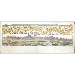
Münster, Sebastian Anno Domini 1548. Viena Austriae hunc...Catalog No.: 23363
Vienna. "Anno Domini 1548. Viena Austriae hunc habuit situm". Orig. woodcut, ca. 1550 from S. Münster's Cosmographia. Published by Henricpetri in Basel 1598. Cutted by Hans Rudolph Manuel Deutsch and Heinrich Holzmuller (the initials "HRMD" and "HH" at the bottom) after Wolfgang Lazius' 1548 drawing. Orig. old colouring. With German title at the top....
15 000,00 KčFor sale -
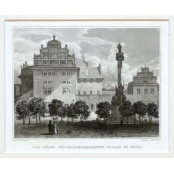
Poppel, Johann Das Fuerst Schwazenbergische Palais in PragCatalog No.: 23244
Schwarzenberský palác. "Das Fuerst Schwarzenbergische Palais in Prag". Pův. oceloryt. Podle L. Langeovy kresby ryl J. Poppel. Vyd. G. G. Lange v Darmstadtu, 1841.
900,00 KčFor sale -
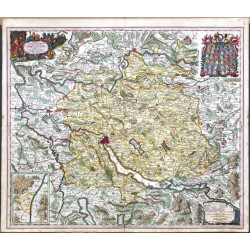
Seutter, Matthäus Delineatio Pagi TiguriniCatalog No.: 23052
Canton of Zürich. "Delineatio Pagi Tigurini ex observantionibus recentimis et accuratissimis. Accedit seorsim in tabella Dominium Sax et Forsteck". Orig. copper-engraving, M. Seutter, Augsburg, ca. 1730. Engraved by T. C. Lotter. Orig. old colouring. 50:58,5 cm.
12 000,00 KčFor sale -
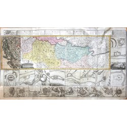
Homann Heirs Regnum Bosniae ... Regni Serviae ...Catalog No.: 23051
Bosnia, Serbia. "Regnum Bosniae, una cum finitimis Croatiae, Dalmatiae ... Regni Serviae ...". Orig. copper-egraving, Homann Heirs, 1739. Orig. old colouring. With title at the top. The map is surrounded by 25 city plans/views. With map overlap on the left. Printed from 5 plates, joined. 60:110 cm.
20 000,00 KčFor sale -
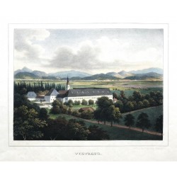
Wagner, Joseph ViktringCatalog No.: 23047
Viktring. "Viktring". Orig. lithograph by Jos. Wagner, 1844. From 'Ansichten von Kärnten', published by F. Edelm von Kleinmayr in Klagenfurt, 1845. Orig. old colouring. With litho. title under the picture. 23:30,5 cm.
6 500,00 KčFor sale -
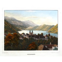
Wagner, Joseph MillstattCatalog No.: 23046
Millstatt. "Millstatt". Orig. lithograph by Jos. Wagner, 1844. Printed by "Leon" (J. and F. Johann). From 'Ansichten von Kärnten', published by F. Edelm von Kleinmayr in Klagenfurt, 1845. Splendid old colouring. With litho. title under the picture. 23:30,5 cm.
6 500,00 KčFor sale -
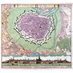
Homann Heirs Die Kays. Residentz- u. Haubt- Stadt Wien...Catalog No.: 23043
Vienna. "Die Kays. Residentz- u. Haubt- Stadt Wien ... Plan u. Prospect". Orig. old coloured copper-engraving, Homann Heirs, ca. 1735. A panoramatic view of Vienna with explanatory notes (14:56 cm) and a fotification plan of the city with Ger. title and...
12 000,00 KčFor sale -
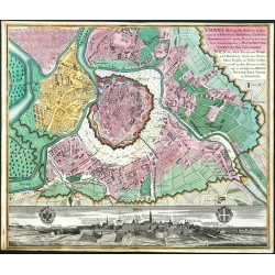
Seutter, Matthäus Vienna Metropolis Austriae ... Wien die...Catalog No.: 23042
Vienna. "Vienna Metropolis Austriae ... Wien die Welt Berühmte Haupt ... Stadt ...". Orig. copper-engraving, M. Seutter, Augsburg, ca. 1740. Orig. old colouring. With Latin-German title cartouche upper right and panoramic wiew of the city with 2 coats of arms at the bottom. 49,5:58 cm.
12 000,00 KčFor sale -
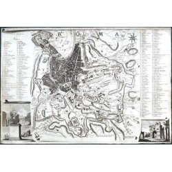
Bufalini, Leonardo RomaCatalog No.: 23005
Rome. "Roma". Orig. copper-engraving after L. Bufalini's plan of Rome from 1551. Engraved by G. Brun, 1801. With title in desk, 2 cartouches in lower corners and explanatory notes by the sides (1-307). 45,5:67,5 cm.
12 000,00 KčFor sale -
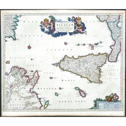
Visscher, Nicolaes Regnum SiciliaeCatalog No.: 22961
Sicily. "Regnum Siciliae". Orig. copper-engraving, N. Visscher, Amsterdam, 1680. Orig. old colouring. With decorative title-cartouche and a cartouche with the scale of map. 46,5:57 cm.
16 000,00 KčFor sale -
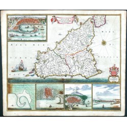
Wit, Frederik de Insula sive Regnum SiciliaeCatalog No.: 22959
Sicily. "Insula sive Regnum Siciliae ...". Orig. copperplate engraving, F. de Wit, Amsterdam, ca. 1680. Orig. old colouring. With decorative title-cartouche held by 2 cherubs, a compass rose, a coat-of-arms with dedication, 2 ships and 5 inset views (Messina, Palermo, Catania, Trapani and a fortification plan of Milazzo). 49,5:59,5 cm.
21 500,00 KčFor sale -
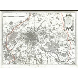
Reilly, Franz Johann Joseph von Des Schauplatzes Der Fünf Theile Der Welt...Catalog No.: 21590
France, Belgium and Germany. Reilly, F. J. J. von. ("Des Schauplatzes der Fünf Theile der Welt ... Enthält Frankreich in seiner jetzigen Ausdehnung"). Vienna: Reilly, 1806. An atlas w. 26 maps of French departments, Belgian provinces, German regions and a map of the environs of Paris. A total of 27 orig. copper-engravings coloured in outline. Each map ca....
10 000,00 KčFor sale -
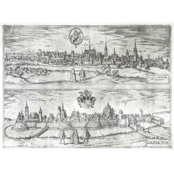
Braun, Georg - Hogenberg, Frans Nissa Silesior ... - LiginiciumCatalog No.: 22903
Nysa - Legnica. "Nissa Silesior ... - Liginicium". Orig. copper-engraving from the 6th part of Latin ed. of Braun and Hogenberg's "Civitates Orbis Terrarum". Published by A. Hierat in Cologne, 1618. Two panoramic views printed from one desk. 33:45 cm.
9 000,00 KčFor sale -
Braun, Georg - Hogenberg, Frans BudingenCatalog No.: 22900
Büdingen. "Budingen". Orig. copper-engraving from the 6th part of Latin ed. of Braun and Hogenberg's "Civitates Orbis Terrarum". Published by A. Hierat in Cologne, 1618. 30,5:50 cm.
6 000,00 KčFor sale -
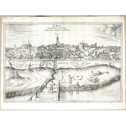
Braun, Georg - Hogenberg, Frans Ens Austriae Civitas Superiorem ab...Catalog No.: 22899
Enns. "Ens Austriae Civitas Superiorem ab inferiore dividens". Orig. copper-engraving after G. and J. Hoefnagel's drawing of 1617. From the 6th part of Latin ed. of Braun and Hogenberg's "Civitates Orbis Terrarum". Published by A. Hierat in Cologne, 1618. 33,5:49,5 cm.
10 500,00 KčFor sale -
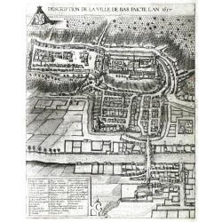
Braun, Georg - Hogenberg, Frans Description de la Ville de BarCatalog No.: 22898
Bar-le-Duc. "Description de la Ville de Bar". Orig. copper-engraving from the 6th part of Latin ed. of Braun and Hogenberg's "Civitates Orbis Terrarum". Published by A. Hierat in Cologne, 1618. A birds-eye-view of Bar-le-Duc. 44:35 cm.
6 500,00 KčFor sale -
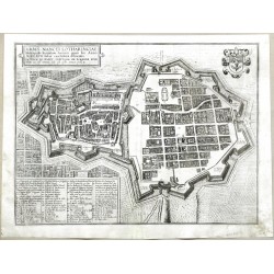
Braun, Georg - Hogenberg, Frans Urbis Nancei Lotharingiae MetropolisCatalog No.: 22895
Nancy. "Urbis Nancei Lotharingiae Metropolis". Orig. copper-engraving from the 6th part of Latin ed. of Braun and Hogenberg's "Civitates Orbis Terrarum". Published by A. Hierat in Cologne, 1618. A birds-eye-view of Nancy. 35:46 cm.
6 000,00 KčFor sale -
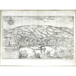
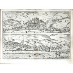
Braun, Georg - Hogenberg, Frans Dillenburg - SegenCatalog No.: 22894
Dillenburg - Siegen. "Dillenburg. Segen". Orig. copper-engraving from the 6th part of Latin ed. of Braun and Hogenberg's "Civitates Orbis Terrarum". Published by A. Hierat in Cologne, 1618. Two panoramic views printed from one desk. 34:48,5 cm.
6 500,00 KčFor sale -
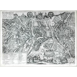
Braun, Georg - Hogenberg, Frans BambergaeCatalog No.: 22893
Bamberg. "Bambergae Episcopalis in Franconiae typus, ad vivum quasi efformatus". Orig. copper-engraving from the 6th part of Latin ed. of Braun and Hogenberg's "Civitates Orbis Terrarum". Published by A. Hierat in Cologne, 1618. A birds-eye-view of Bamberg. With title-cartouche, a cartouche with dedication to the...
7 500,00 KčFor sale -
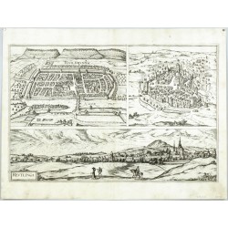
Braun, Georg - Hogenberg, Franz Hailbrunna - Mulhusium - ReutlingaCatalog No.: 22885
Heilbronn, Reutlingen and Mulhouse. "Hailbrunna. Reutlinga. (Mulhusium)". Orig. etching from the 6th part of Latin ed. of G. Braun's and F. Hogenberg's "Civitates Orbis Terrarum". Published by A. Hierat in Cologne, 1617/18. 3 city views printed from one plate. 31,5:47,5 cm.
12 500,00 KčFor sale -
Bry, Theodor de ItaliaCatalog No.: 22884
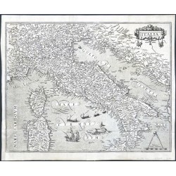
Italy. "Italia". Orig. copperplate engraving, Th. de Bry, 1596. Published in: J. J. Boissard 'Romanae Urbis Topographiae & Antiquitatum', 1597. With ornamental title-cartouche, a scale of map ("Miliaria Italica communia"), several ships and a sea-creature. 33:42,5 cm.
28 000,00 KčFor sale -
Ortelius, Abraham Bresciano Brixiani Agri TypusCatalog No.: 22882
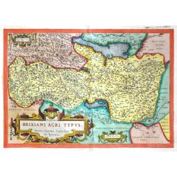
Province of Brescia. "Bresciano Brixiani Agri Typus. Bixia, Cygnea supposita in specula". Orig. copper-engraving, A. Ortelius, Antwerps, 1590. Orig. old colouring. With ornamental title-cartouche, a cartouche with the scale of map ("Milliaria Italica decem") and another cartouche with privilege and the date of map. 33:46,5 cm.
12 500,00 KčFor sale -
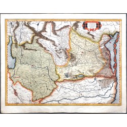
Mercator, Gerardus Brescia Episcopatus, Mediolanum DucatusCatalog No.: 22881
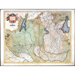
Brescia and Milan. "Brescia Episcopatus, Mediolanum Ducatus". Orig. copperplate engraving, G. Mercator, Duisburg, 1589. Orig. old colouring. With ornamental title-cartouche with the scale of map ("Miliaria Italica communia"). 37:47,5 cm.
7 500,00 KčFor sale -
Braun, Georg - Hogenberg, Frans PataviumCatalog No.: 22879
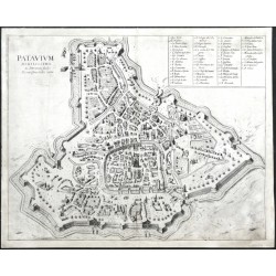
Padua. "Patavium". Orig. copper-engraving, Braun - Hogenberg, "Civitates Orbis Terrarum", ca. 1635. 39:48,5 cm.
18 000,00 KčFor sale -
Mercator, Gerardus Veronae Vicentiae et Patavii DitionesCatalog No.: 22874
Verona, Vicenza and Padua. "Veronae Vicentiae et Patavii Ditiones". Orig. copperplate engraving, G. Mercator, Duisburg, 1589. Orig. old colouring. With ornamental title-cartouche. 37:49 cm.
9 000,00 KčFor sale -
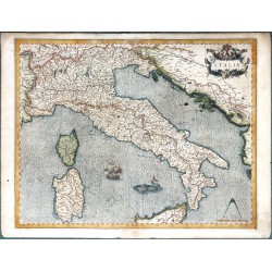
Mercator, Gerardus ItaliaCatalog No.: 22873
Italy. "Italia". Orig. copperplate engraving, G. Mercator, Duisburg, 1589. Orig. old colouring. With ornamental title-cartouche, a scale of map ("Miliaria Italica communia"), a ship and a sea-creature. 37:47 cm.
18 000,00 KčFor sale -
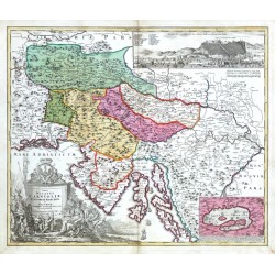
Homann, Johann Baptist Tabula Ducatus Carnioliae Vindorum...Catalog No.: 22863
Slovenia. "Tabula Ducatus Carnioliae Vindorum Marchiae et Histriae". Orig. copper-engraving after J. V. Valvasor's map of the region. Published by J. B. Homann, Nuremberg, ca. 1720. Original old colouring. With great figure and heraldic tile-cartouche, small inset map of Cerknica Lake (10:14,5 cm) and inset view of Ljubljana ("Prospect der St. Laybach...
10 500,00 KčFor sale -
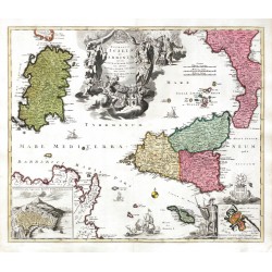
Homann, Johann Baptist Regnorum Siciliae et Sardiniae ... MaltaeCatalog No.: 22856
Sicily and Sardina. "Regnorum Siciliae et Sardiniae nec non Melitae seu Maltae Insulae ...". Original copper-engraving, J. B. Homann, ca. 1720. Original old colouring. With great figure title cartouche with 2 coats-of-arms, a cartouche with inset plan of Catania with Mt. Etna in the background, another cartouche with inset fotification plan of Valletta....
15 000,00 KčFor sale -
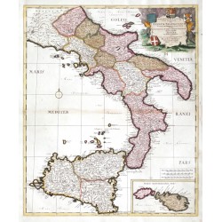
Schenk, Peter & Valck, Gerard Continentis Italiae ... Regnum NeapolitanumCatalog No.: 22853
Southern Italy. "Continentis Italiae ... Regnum Neapolitanum ... Sicilia ... Malta Insula". Orig. copperplate engraving, P. Schenk, Amsterdam, 1703. Orig. old colouring. With decorative title cartouche with 4 coats of ams and depiction of Mt. Vesuvius and Mt. Aetna errupting and inset map of Malta and Gozo islands. 58:49 cm.
13 500,00 KčFor sale -
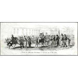
Richter, J. Karlsruhe - Einzug der pfälzischen...Catalog No.: 22849
Karlsruhe. "Einzug der pfälzischen Freischaaren in Carlsruhe am 19. Juni 1849". Orig. Lithographie von J. Richter. Bie C. W. Medau, Prag, 1849. 20:46 cm.
1 500,00 KčFor sale -
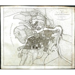
Pluth, C. Plan de la Ville de St. PetersbourgCatalog No.: 22842
Saint Petersburg. "Plan de la Ville de St. Petersbourg". Orig. copper-engraving, C. Pluth, Prague, 1808. A fortification plan of the city of St. Petersburg with oval title-cartouche. 35:41,5 cm (13 3/4 x 16 1/4 inch.).
5 000,00 KčFor sale -
Bürger, Robert - Semmler, C. G. KöniginnhofCatalog No.: 22831
Dvůr Králové nad Labem. "Königinnhof". Pův. litografie. Podle vlastní kresby litografoval R. Bürger. Z: C. G. Semmler - 'Der Elbstrom, von seinem Ursprunge bis zu seiner Mündung in die Nordsee ...'. Drážďany: Semmler, 1845. S hrajícími si dětmi v popředí. 18:24 cm.
1 100,00 KčFor sale -
Arldt, Carl Wilhelm - Semmler, C. G. Schloss SchurzCatalog No.: 22830
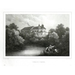
Žireč (Dvůr Králové nad Labem). "Schloss Schurz". Pův. litografie. Podle vlastní kresby litografoval C. W. Arldt. Z: C. G. Semmler - 'Der Elbstrom, von seinem Ursprunge bis zu seiner Mündung in die Nordsee ...'. Drážďany: Semmler, 1845. Tiskl F. Weider. S figurami v popředí. 16,5:24 cm.
1 000,00 KčFor sale -
Walch, Johann Der Schwaebische KreisCatalog No.: 22815
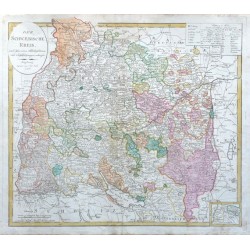
Swabia. "Der Schwaebische Kreis". Altkol. Kupferstich-Karte bei J. Walch, Augsburg, 1803. Mit oval. Titelkart., andere Kart. mit Erklärungen und kleine Nebenkarte vom Fürstentum Lichtenstein. 48,5:55 cm.
3 800,00 KčFor sale -
Sauerbrunbn bei Rohitsch und UmgebungCatalog No.: 22795
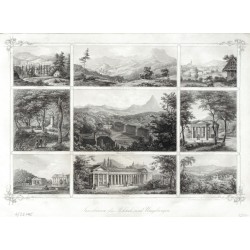
Rogaška Slatina. "Sauerbrunbn bei Rohitsch und Umgebung". Orig. steel-engraving by P. Ahrens after C. Kreuzer's drawing. Triest: Oestr. Lloyd, 1855. Wit Ger. title at the bottom. 20:29 cm.
1 500,00 KčFor sale -
Jänecke, Gebrüder Waterloo-Monument zu HannoverCatalog No.: 22772
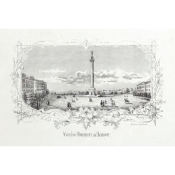
Hannover. "Waterloo-Monument zu Hannover". Orig. Federlithographie. Hannover: bei Gebr. Jänecke, um 1850. Mit Titel unter dem Bild. 10:17 cm.
1 200,00 KčFor sale -
Jänecke, Gebrüder Ansicht von Hannover - SouvenirblattCatalog No.: 22771
Hannover. "Ansicht von Hannover". Orig. Federlithographie. Hannover: bei Gebr. Jänecke, um 1850. 16:21,5 cm.
2 100,00 KčFor sale -
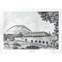
Heber, František Alexandr Žampach (zámek)Catalog No.: 22763
Žampach (zámek). "Zampach". Pův. kamenorytina z F. A. Heberova díla Böhmens Burgen, Vesten und Bergschlösser. Podle Heberovy kresby ryl P. Röhrich. Vyd. C. W. Medau v Praze, 1844. S německým titulem pod obrázkem. 13:19 cm (obrázek).
450,00 KčFor sale -
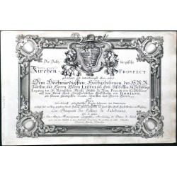
Danreiter, Franz Anton Salzburg - Die Saltzburgische...Catalog No.: 22754
Salzburg. Danreiter, Franz Anton (1695-1760). "Die Saltzburgische Kirchen-Prospect". Augsburg: Pfeffel, ca. 1730. A complete set 20 copperplates depicting cathedrals and a hospital in Salzburg with engraved title-page. Engraved by C. Rembshart, B. Hattinger and J. M. Wehrlin after Danreietr's drawings. With Ger.-Fr. titles under the pictures. Each...
200 000,00 KčFor sale -
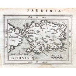
Ortelius, Abraham SardiniaCatalog No.: 18786
Sardinia (Sardegna -Italy). "Sardinia". Orig. copper-engraving from Gearman ed. of A. Ortelius' "Epitome", published in Frankfurt am Main by L. Hulsius, 1604. With ornamental title-cartouche, the scale of map ("Miliaria Italica") and title above the map....
2 800,00 KčFor sale -
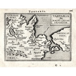
Ortelius, Abraham Tartaria sive Magni Chami ImperiumCatalog No.: 14307
Northeast Asia. "Tartaria sive Magni Chami Imperivm". Orig. copper-engraving from the French edition of A. Ortelius' Epitome, published in Antwerp by Plantin Press for F. Galle, 1598. With title-cartouche and Latin title above the map. 8:10,5 cm...
4 000,00 KčFor sale -
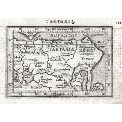
Ortelius, Abraham Northeast Asia - TartariaCatalog No.: 09873
Northeast Asia - Tartary. "Tartaria". Orig. copper-engraving from the Latin edition of A. Ortelius' "Epitome Theatri Orbis Terrarum", published in Antwerp by J. B. Vrienst, 1609. With engraved title in map and Latin heading-title. 8,5:12,5 cm (3 1/2 x 5 inch.).
2 100,00 KčFor sale -
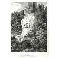
Dorner, Johann Jakob der Jüngere Monument Bei Post Saal an der DonauCatalog No.: 22693
Saal an der Donau (Kelheim district). "Monument Bei Post_Saal an der Donau". Orig. chalk lithograph by Johann Jakob Dorner the Younger, 1803. 58:41,8 cm. With lithographic title under the picture.
7 500,00 KčFor sale -
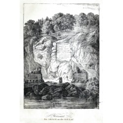
Dorner, Johann Jakob der Jüngere Monument Bei Abach an der DonauCatalog No.: 22692
Bad Abbach (Kelheim district). "Monument Bei Abach an der Donau". Orig. chalk lithograph by Johann Jakob Dorner the Younger, 1803. 58,7:42 cm. With lithographic title under the picture.
6 000,00 KčFor sale -
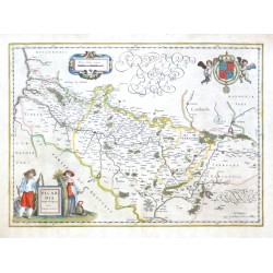
Blaeu, Willem Janszoon Picardia Regio BelgicaCatalog No.: 22655
Picardy. "Picardia Regio Belgica, Auctore Ioanne Surhonio". Orig. copper-engraving after J. Surhon's map of the region. G. and J. Blaeu, Amsterdam, 1634. With fig. title cartouche, ornament. cartouche with the scale of map and a great coat-of-arms with 2 cherubs. 38,5:53,5 cm (15 1/4 x 21 inch.).
3 000,00 KčFor sale -
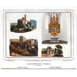
Zahradniczek, Josef Rakonitzer KreisCatalog No.: 22400
Rakovnický kraj. Rakovnicko. "Rakonitzer Kreis". Pův. barevná litografie. Podle J. Fischbachovy kresby litografoval J. Zahradniczek. Tiskl Alois Leykum. Vydal H. F. Müller ve Vídni, 1840. 4 pohledy tištěné z jedné desky s lito. titulem pod obrázkem. 14,5:20 cm.
1 200,00 KčFor sale -
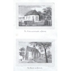
Möckel, Julius Die Gottesackerkapelle zu PulsnitzCatalog No.: 22389
Pulsnitz. "Die Gottesackerkapelle zu Pulsnitz", darunter "Die Kirche zu Pulnitz". Orig. Lithographien von Renner und Ketzschau nach Zeichnungen von Julius Möckel. Aus Sachsens Kirchen-Galerie. Dresden, H. Schmidt, 1837. Je. 10:14,5 cm.
450,00 KčFor sale -
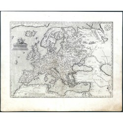
Ortelius, Abraham EuropaeCatalog No.: 22312
Europe. "Europae". Orig. copper-engraving, A. Ortelius, first published 1584 (in Theatrum Orbis Terrarum). With figure title-cartouche, a sailing ship and tents of the Tartar and a wind-rose upper right. 34,5:46,5 cm (13 1/2 x 18 1/4 inch.).
21 000,00 KčFor sale -
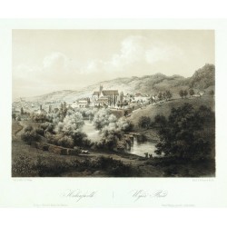
Haun, August Hohenfurth. Wyšší BrodCatalog No.: 22297
Vyšší Brod. "Hohenfurth. Wyšší Brod". Pův. dvoubarevná litografie s podtiskem od A. Hauna (1815-1894) podle H. vlastní kresby. Sign. "Haun" v desce. Tiskl W. Korn v Berlíně. Vydal E. Hölzel v Olomouci, 1860. 19,5:26,5 cm.
1 800,00 KčFor sale -
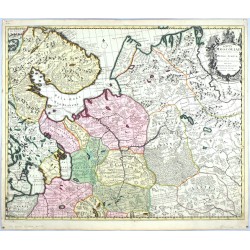
Schenk, Peter & Valck, Gerard Tabula MoscoviaeCatalog No.: 22166
Northwestern Russia. "Tabula Moscoviae". Original copperplate engraving. Published by P. Schenk in Amsterdam, ca. 1700. Original old colouring. With decorative title cartouche with a coat of arms. 50:61 cm (19 3/4 x 24 inch.).
7 000,00 KčFor sale

