Keine Artikel
Alte Landkarten und Stadtansichten
- Afrika
- Amerika
- Asien und Australien
- Atlases
-
Europa
-
Belgien, Niederlande, Luxemburg
- Amsterdam
- Antwerpen
- Belgien und Luxemburg
- Bergen op Zoom
- Blokzijl
- Bommenede
- Brabant
- Brugge
- Brüssel
- Charleroi
- Delft
- Den Haag
- Dinant
- Dordrecht
- Elburg
- Flandern
- Fort Rammekens
- Friesland
- Friesland und Groningen
- Gelderland
- Geraardsbergen
- Grave
- Groningen
- Hainaut
- Harderwijk
- Harlingen
- Holland
- Hulst
- Huy
- Kortryk
- Lier
- Limbourg
- Limburg
- Löwen
- Lüttich
- Luxemburg
- Maastricht
- Mechelen
- Middelburg
- Mons
- Namur
- Niederlande
- Niederlande und Belgien
- Nijmegen
- Ostende
- Overijssel
- Rotterdam
- Spa
- Stavoren
- Tiel
- Utrecht
- Veere
- Veurne
- Ypern
- Zaltbommel
- Zeeland
- Zieriksee
- Zierikzee
- Zutphen
- Zype
-
Böhmen, Mähren und Schlesien
- Arnau
- Beraun
- Böhmen
- Böhmen, Mähren und Schlesien
- Brandýs nad Labem
- Branná (okr. Šumperk)
- Břeclav
- Brněnsko a Uherskohardišťsko
- Brodce (okr. Mladá Boleslav)
- Brünn
- Budweis
- Bürglitz
- Čelákovice
- Cheb
- Chlumec nad Cidlinou
- Chomutov
- Děčín
- Dolní Olešnice - Nové Zámky
- Dvůr Králové nad Labem
- Friedrichsthal
- Herrnskretschen
- Hohenelbe
- Hradec Králové
- Jáchymov
- Jaromirsch
- Jihlava
- Jižní Čechy
- Kamaick
- Karlsbad
- Karlstein
- Kolín
- Kostelec nad Labem
- Krkonoše
- Kuks
- Kunětická Hora
- Kuttenberg
- Laun
- Lednice
- Libochovany
- Litoměřice
- Loket
- Lysá nad Labem
- Mähren
- Marienbad
- Melnik
- Mladá Boleslav
- Mladoboleslavsko
- Náchod
- Nimburg
- Okoř
- Olmütz
- Olomoucko
- Ostrov nad Ohří
- Pardubice
- Plzeň
- Podiebrad
- Polná
- Prácheňsko
- Prag
- Praha a okolí
- Przelautsch
- Rabí
- Rakovnicko
- Rakovník
- Roudnice nad Labem
- Rožmberk
- Rožnov pod Radhoštěm
- Schlan
- Schwamberg
- Sedlec
- Smečna
- Smirschitz
- Šumava
- Tábor
- Teplice
- Theresienstadt
- Třeboň
- Týnec nad Labem
- Uničov
- Vinec
- Vrabinec
- Vyšší Brod
- Zákupy
- Žampach (zámek)
- Žatec
- Žireč
- Žleb
- Zvíkov
-
Deutschland
-
Baden-Württemberg
- Bad Teinach-Zavelstein
- Balingen
- Biberach an der Riß
- Böblingen
- Bodensee
- Breisgau
- Calw
- Dornhan
- Esslingen
- Geislingen an der Steige
- Grafschaft Limpurg
- Heidelberg
- Heilbronn
- Hohenlohe
- Karlsruhe
- Konstanz
- Mannheim
- Möckmühl
- Nagold
- Neuenbürg
- Nord-Württemberg
- Oberschwaben
- Offenburg
- Pforzheim
- Reutlingen
- Rheinpfalz
- Schwabenl
- Schwäbisch Gmünd
- Schwäbisch Hall
- Singen
- St. Blasien
- Stuttgart
- Tübingen
- Ulm
- Vaihingen a. d. Enz
- Wangen im Allgäu
- Weinheim
- Württemberg
-
Bayern
- Aschaffenburg
- Augsburg
- Aurach
- Bad Abbach
- Bamberg
- Bogenberg (Wallfahrtskirche)
- Cham
- Coburg
- Donauwörth
- Eichstätt
- Forchheim
- Franken
- Freising
- Friedberg (Schwaben)
- Füssen
- Gräfenberg (Oberfranken)
- Höchstädt an der Donau
- Ingolstadt
- Kelheim
- Kempten
- Lauingen
- Lenggries
- Lindau
- Memmingen
- Mindelheim
- Mühldorf am Inn
- München
- Nabburg
- Natternberg (Schloss)
- Neuburg an der Donau
- Neumarkt in der Oberpfalz
- Neuötting
- Neustadt an der Donau
- Nördlingen
- Nürnberg
- Oberpfalz
- Pappenheim
- Passau
- Pfaffenhofen
- Pöttmes
- Rain am Lech
- Regensburg
- Saal an der Donau
- Schongau
- Schrobenhausen
- Straubing
- Thurnau
- Velden
- Vilshofen an der Donau
- Wackerstein
- Wasserburg am Inn
- Weilheim / links Polling
- Weissenburg in Bayern
- Weltenburg
- Würzburg
- Berlin
- Brandenburg
- Bremen
- Hamburg
- Hessen
- Mecklenburg-Vorpommern/Pommern
-
Niedersachsen
- Aurich
- Bad Bentheim
- Bad Gandersheim
- Bodenwerder
- Braunschweig
- Braunschweig-Lüneburg
- Celle
- Cuxhaven
- Emden
- Hann. Münden
- Hannover
- Hildesheim
- Hoya
- Liebenau an der Weser
- Lüneburg
- Niedersächsischer Kreis
- Nienburg a. d. Weser
- Oldenburg
- Osnabrück
- Osterode
- Osterwieck
- Ostfriesland
- Schnackenburg
- Schöppenstedt
- Stolzenau
- Walsrode
- Winsen an der Luhe
- Wolfenbüttel
- Norddeutschland
- Nordrhein-Westfalen
- Rheinland-Pfalz
-
Sachsen
- Baruth bei Bautzen
- Bernstadt auf dem Eigen
- Brauna (Schönteichen)
- Bretnig-Hauswalde
- Burkau
- Burkersdorf (Schlegel)
- Cosel (Schwepnitz)
- Dresden
- Ebersbach
- Frankenthal
- Friedersdorf an der Spree
- Gersdorf (Haselbachtal)
- Grimma
- Großpostwitz
- Großschönau
- Herrnhut
- Hirschfelde (Zittau)
- Kamenz
- Kemnitz (Bernstadt auf dem Eigen)
- Klix (Großdubrau)
- Königsbrück
- Kottmarsdorf
- Leipzig
- Leuba (Ostritz)
- Meißen
- Neukirch (bei Königsbrück)
- Neukirch/Lausitz
- Niedercunnersdorf
- Nostitz (Weißenberg)
- Ober Lausitz
- Oberseifersdorf
- Oschatz
- Ostritz
- Ostro (Panschwitz-Kuckau)
- Plauen
- Pulsnitz
- Purschwitz
- Rammenau
- Reichenau (bei Königsbrück)
- Sachsen-Thüringen-Anhalt
- Schönau-Berzdorf auf dem Eigen
- Schönburg
- Schwazenberg-Wolkenstein-Grünhain
- Schwepnitz
- Spitzkunnersdorf
- Spreedorf (Ebersbach)
- Taubenheim/Spree
- Torgau
- Wurzen
- Sachsen-Anhalt
- Schleswig-Holstein
- Thüringen
-
Baden-Württemberg
- Donau
- Europa (Kontinent)
-
Frankreich
- Albi
- Anjou
- Artois
- Bar-le-Duc
- Berry
- Blois
- Bourbourg
- Bresse
- Burgund-Freigrafschaft
- Cambrai
- Cassel
- Château de Lichtenberg
- Chaumont
- Compiegne und Noyon
- Dauphiné
- Département Tarn
- Elsass
- Gascogne
- Gâstinais and Senonais
- Gravelines
- Hauts-de-France
- Ile de France
- Korsika
- La Bassée - Hesdin
- Languedoc
- Lille
- Limoges
- Lothringen
- Lyon
- Maine
- Marseille
- Metz
- Montmélian
- Mülhausen
- Nancy
- Nice
- Normandie
- Paris
- Perche
- Picardie
- Poitou
- Provence
- Quercy
- Re und Oleron
- Reims - Rethel
- Saint-Omer
- Saintonge und Aunis
- Savoyen
- Strassburg
- Vexin
- Griechenland, Mittelmeer
-
Grossbritannien und Irland
- Bedford und Buckinghamshire
- Berkshire und Hampshire
- Cambridgeshire
- Cheshire
- Cornwall
- Cumberland
- Denbigh und Flint
- Derbyshire
- Devon
- Dorset
- Durham (Grafschaft)
- England
- Essex
- Gloucestershire
- Großbritannien und Irland
- Herefordshire
- Hertfordshire
- Hertfordshire and Middlesex
- Huntingdonshire
- Irland
- Isle of Man
- Isle of Wight
- Kent
- Lancashire
- Leicestershire
- Lincolnshire
- London
- Middlesex
- Nordengland
- Nordostengland
- Nordwestengland
- Norfolk
- Northampton
- Northumberland
- Nottinghamshire
- Oxfordshire
- Schottland
- Shropshire und Staffordshire
- Somerset
- Staffordshire
- Südostengland
- Südwestengland
- Surrey
- Sussex
- Wales
- Westmorland
- Wiltshire
- Worcestershire und Warwickshire
- Yorkshire
-
Italien
- Abruzzen
- Ancona
- Apulien (Puglia)
- Arcevia
- Bari und Basilikata
- Belluno und Feltre
- Bergamo
- Bologna
- Brescia
- Brescia und Crema
- Cadore
- Cagliari
- Caiazzo
- Capitanata
- Carmagnola
- Catania
- Civitavecchia
- Crema
- Cremona
- Cuneo
- Elba
- Emilia Romagna
- Faenza
- Fano
- Ferrara
- Florenz
- Fondi
- Friaul
- Gaeta
- Gallipoli
- Genua
- Ischia
- Italien
- Kalabrien
- Kampanien
- Lazio
- Lerici
- Ligurien (Italienische Riviera)
- Livorno
- Lombardei
- Loreto
- Lucca
- Mailand
- Mantua
- Mantua
- Marche (Ancona)
- Meran
- Messina
- Mirandola
- Mittelitalien
- Modena
- Molise
- Monferrato
- Neapel
- Netuno
- Nocera Umbra
- Norditalien
- Orvieto
- Orvieto und Loreto
- Otranto
- Padua
- Palermo
- Parma
- Pavia
- Perugia
- Pesaro
- Piacenza
- Piemont
- Pinerolo
- Piombino
- Pisa
- Po
- Pozzuoli
- Reggio di Calabria
- Reggio Emilia
- Rimini
- Rom
- Rovigo
- San Marino
- Sardinien
- Siena
- Sizilien
- Sizilien und Malta
- Sizilien und Sardinien
- Spoleto
- Süditalien
- Sulmona
- Taranto
- Terracina
- Tirol
- Tivoli
- Tortona
- Toskana
- Trapani
- Trentino
- Trentino-Alto Adige / Südtirol
- Treviso
- Turin
- Udine
- Umbria
- Urbino
- Velletri
- Venedig
- Vercelli
- Verona
- Vicenza
- Viterbo
- Labe
- Mitteleuropa
- Mittelmeer
- Monaco
- Nordeuropa
- Österreich
- Polen, Schlesien, Rußland, Blatikum
- Rhein
- Schweiz
- Skandinavien und Island
- Spanien und Portugal
- Südost- und Osteuropa, Balkan
-
Belgien, Niederlande, Luxemburg
- Inseln (Sonderkatalog)
- Welt, Ozeane, Pole und Sternbildkarten
Alte Landkarten und Stadtansichten Es gibt 2221 Artikel.
Unterkategorien
-
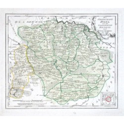
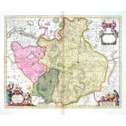
Reilly, F. J. J. von Die Grafschaft HoyaBestell-Nr .: 09183
"Die Grafschaft Hoya mit den Grafschaften Die Pholz und Spiegelberg. Nro. 289.". Altkol. Kupf.-Karte von F. J. J. von Reilly, (1791). Mit ornament. Titelkart., kl. Nebenkarte und Meillenanzeiger. 24:28,5 cm.
2 700,00 KčZu verkaufen -
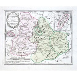
Reilly, F. J. J. von Des Hochstifts Osnabrück südliche AemterBestell-Nr .: 09177
"Des Hochstifts Osnabrück südliche Aemter mit der Grafschaft Teckelenburg. Nro. 279.". Altkol. Kupf.-Karte von F. J. J. von Reilly, (1791). Mit ornament. Titelkart., 2 Nebenkarten und Meillenanzeiger. 23:29 cm.
3 200,00 KčZu verkaufen -
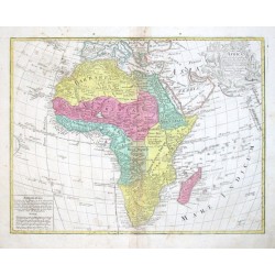
de L'Isle, Gerard AfricaBestell-Nr .: 09162
Afrika."Africa". Orig. copper-engraving after G. de L'Isle's map of Africa. Published by T. C. Lotter (1717-1777), Augsburg, ca. 1750. Orig. old colouring. With great ornamental title-cartouche with animals and another cartouche with "Admonitio"...
10 500,00 KčZu verkaufen -
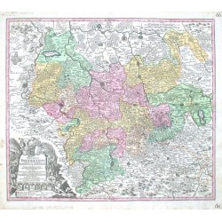
Seutter, Matthäus Braunschweig - Ducatus BrunsuicensisBestell-Nr .: 09105
Braunschweig. "Ducatus Brunsuicensis juxta tres suos Principatus Calenbergic ... et Grubenhagens ... ac Guelperhbitanum ... accurate distinctus". Orig. altkol. Kupf.-Kte. bei M. Seutter, Augdburg, um 1730. Mit gr. fig. Titelkart. mit 9 Wappen. 49,5:57 cm.
4 200,00 KčZu verkaufen -
Homann, Johann Baptist Ducatus BrunsuicensisBestell-Nr .: 09102
"Ducatus Brunsuicensis in tres Pricipatus Calenbergicum ..., Grubenhag & Gulepherbitanum ... divisi". Orig. altkol. Kupf.-Kte. bei J. B. Homann, Nürnberg, um 1720. Mit gr. fig. Titelkart. mit Meillenanzeiger und 9 Wappen und mit vielen kleinen...
4 500,00 KčZu verkaufen -
Homann, Johann Baptist Ducatus Luneburgici et Comitatus...Bestell-Nr .: 09099
"Ducatus Luneburgici et Comitatus Dannebergensis accurata Descriptio". Orig. altkol. Kupf.-Kte. bei J. B. Homann, Nürnberg, um 1710. Mit gr. fig. Titelkart. mit einem Wappen und Meillenanzeiger. 48,5:57,5 cm.
4 800,00 KčZu verkaufen -
Amusemens des eaux d'Aix-la-ChapelleBestell-Nr .: 09096
"Profil de la Ville d'Aix la chapelle. Gezigt van de Keyserlyke Stad Aken" (12:14,5 cm), "Vue de la Fontaine et de la Place d'Aix la Chapelle. Gezigt van de warme Fontein en Plaats van Aken" (12:14,5 cm), "Bains des Seigneurs. Heeren Bad" (13:16...
8 000,00 KčZu verkaufen -
Lotter, Tobias Conrad Circulus Suevicus in quo Ducatus...Bestell-Nr .: 09090
"Circulus Suevicus in quo Ducatus Wirtenbergensis cum reliquis Statibus et Provinciis curate designatus proponitur ...". Altkol. Kupf.-Karte von T. C. Lotter (1717-1777), Augsburg, um 1760. Mit fig. Titelkartusche oben links und Kartusche mit...
6 000,00 KčZu verkaufen -
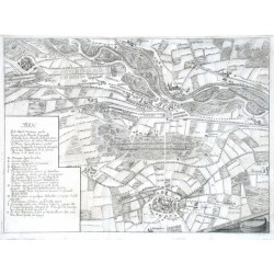
Merian, Matthäus Plan De la Batille de CasaneBestell-Nr .: 09081
"Plan De la Batille de Casane ... 1705". Orig. Kupferstich aus Merians Theatrum Europaeum, 1718. Mit gr. Schriftkart. links und Meillenanzeiger ("Eschelle de deux Mile Ditalie") unten rechts. Karte von dem Großraum von Cassano d'Adda (Provincia...
6 000,00 KčZu verkaufen -
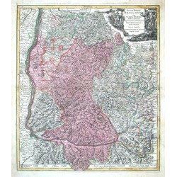
Seutter, Matthäus Breisgau - Accurata Delineatio BrisgoviaeBestell-Nr .: 08934
Breisgau. "Accurata Delineatio Brisgoviae". Altkol. Kupf.-Kte. bei M. Sutter, um 1730. Mit gr. fig. Titelkart. und Erklärungen am unteren Rand der Karte. 58,5:50 cm.
4 800,00 KčZu verkaufen -
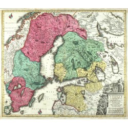
Lotter, Tobias Conrad Nova Mappa Geographica Sueciae ac Gothiae...Bestell-Nr .: 08907
Schweden, Finnland, St. Petersburg, Estland. "Nova Mappa Geographica Sueciae ac Gothiae Regna ut et Finlandiae ...". Orig. altkol. Kupferstich Karte, T. C. Lotter, um 1750. Mit herald. Titelkart. 50:58 cm.
6 500,00 KčZu verkaufen -
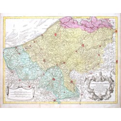
de L'Isle, Gerard Comitatus Flandriae descriptioBestell-Nr .: 08904
"Comitatus Flandriae descriptio". Orig. copper-engraving, T. C. Lotter (1717-1777), Augsburg, ca. 1750. Orig. old colouring. With figure title-cartouche and ornamental cartouche with the scale of map ("Scalae"). 49:64,5 cm.
4 500,00 KčZu verkaufen -
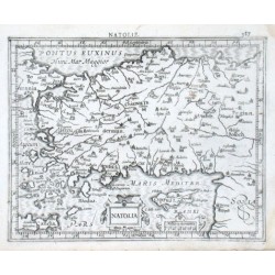
Mercator, Gerardus NatoliaBestell-Nr .: 08859
Türkei."Natolia". Orig. copper-engraving from the French ed. of Mercator's "Atlas Minor". Published in Amsterdam by J. Hondius, C. Claesz. and J. Jansz., 1609. With ornamental title-cartouche, another ornamental catrouche with the scale of map...
2 700,00 KčZu verkaufen -
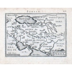
Ortelius, Abraham PersiaBestell-Nr .: 08853
Persien. "Persia". Orig. copper-engraving from A. Ortelius' "Epitome", published in Antwerp by J. B. Vrienst, 1609. With ornamental title-cartouche, a cartouche with the scale of map ("Scala leucarum") and Latin heading-title. 8,5:12,5 cm.
2 000,00 KčZu verkaufen -
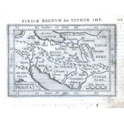
Ortelius, Abraham PersiaBestell-Nr .: 08850
Persien. "Persia". Orig. copper-engraving from A. Ortelius' French ed. of his "Epitome", published in Antwerp by J. B. Vrienst, 1602. With ornamental title-cartouche, a cartouche with the scale of map ("Scala leucar.") and French heading-title. 7,5:11 cm.
2 000,00 KčZu verkaufen -
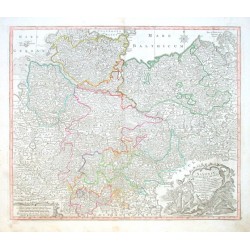
Lotter, Tobias Conrad Saxoniae Inferioris CirculusBestell-Nr .: 08817
"Saxoniae Inferioris Circulus exhibens Ducatus Brunswic. Lüneburg. Magdeburg. Bremens. Mechlinoburg. et Holsat. nec non Marchionatum Brandenburg: cum aliis Statibus et Principatibus atque Regionibus adjacentibus". Altkol. Kupf.-Kte. von und bei...
4 000,00 KčZu verkaufen -
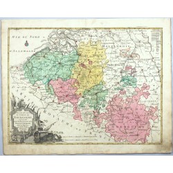
Lotter, Georg Friedrich Nouvelle Carte du Cercle de BourgogneBestell-Nr .: 08793
Belgien und Luxemburg. "Nouvelle Carte du Cercle de Bourgogne ou l'on voit toutes les Possessions de la Maison d'Autriche dans les Pays Bas". Altkol. Kupf.-Kte. bei Gebr. Lotter, Augsburg, ca. 1780. Mit gr. dekorative Titelkart. und Erklärungen ("Indication des Colours et...
4 800,00 KčZu verkaufen -
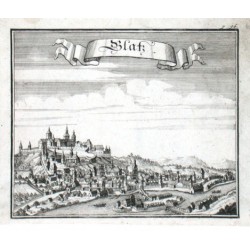
Vogt, Johann Georg GlatzBestell-Nr .: 08697
Kłodzko. "Glatz". Orig. Kupferstich nach J. M. Vogt aus seinem Werk "Das jetzt-lebende Königreich Böhmen", Frankfurtu am Main und Leipzig, 1712. Mit Titelkart. 14:16,5 cm.
1 200,00 KčZu verkaufen -
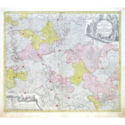
Lotter, Tobias Conrad Archiepiscopatus et Electoratus...Bestell-Nr .: 08679
"Archiepiscopatus et Electoratus Moguntinus, ut et Comitatus Uterq. Catimelibocens, Wertheimensis Erpacens ... accuratißime delineatae". Altkol. Kupf.-Kte. von T. C. Lotter (1717-1777), Augsburg, ca. 1750. Mit gr. herald. und figur. Titelkart....
5 200,00 KčZu verkaufen -
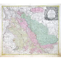
Lotter, Tobias Conrad Mappa geographica, continens Electoratum...Bestell-Nr .: 08676
Nordrhein-Westfalen. "Mappa geographica, continens Archiepiscopatum et Electoratum Coloniensem, cum Conterminis Ducatibus Iuliacensi et Montensi, nec non Comitatu Mursano". Altkol. Kupf.-Kte. von T. C. Lotter (1717-1777), Augsburg, ca. 1750. Mit gr. herald. und...
5 400,00 KčZu verkaufen -
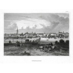
DüsseldorfBestell-Nr .: 08652
Düsseldorf. "Düsseldorf". Orig. Stahlstich bei Bibliogr. Institut in Hildburghausen, um 1835. Mit zahlr. Figuren und Pferde vorne. 10,5:16 cm.
1 500,00 KčZu verkaufen -
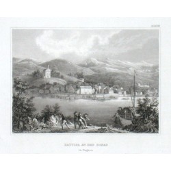
Battina an der Donau in UngarnBestell-Nr .: 08649
"Battina an der Donau in Ungarn". Orig. steel-engraving. Published by Bibliogr. Institut in Hildburghausen, ca. 1835. With several figures and a ship in the foreground. 10,5:14,5 cm.
600,00 KčZu verkaufen -
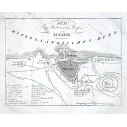
Plan der Stadt und des Hafens von AlgierBestell-Nr .: 08646
Algier. "Plan der Stadt und des Hafens von Algier". Orig. Kupferstich aus "Errinerungen", Prag, um 1820. Mit gest. Titel und Erklärungen (A-U). 15:20 cm.
300,00 KčZu verkaufen -
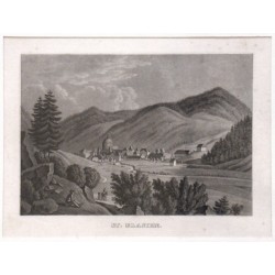
St. BlasienBestell-Nr .: 08634
"St. Blasien". Gesamtansicht mit der ehem. Benediktinerabtei. Orig. Aquatinta aus Badenia, 1839. 11:15,5 cm.
1 200,00 KčZu verkaufen -
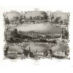
Payne, Albert Henry TeplitzBestell-Nr .: 08454
Teplice. "Teplitz". Pův. ocelorytina. Vyd. A. H. Payne, ca. 1840. Celkový pohled na Teplice a 6 teplických pamětihodností ve florální bordúře. 16,5:19 cm.
750,00 KčZu verkaufen -
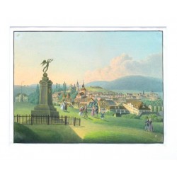
Pohled na Teplice ze Špitálského vrchuBestell-Nr .: 08445
Pohled na Teplice ze Špitálského vrchu (dnes Letná). Anonymní akvarel a kresba tuší, ca. 1840. S již nestojícím pomníkem pruského krále Bedřicha Viléma III. a půvabnými figurkami v popředí. 20,5:27,5 cm.
4 800,00 KčZu verkaufen -
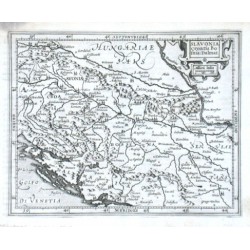
Mercator, Gerardus Slavonia Croatia Bosnia. Dalmat.Bestell-Nr .: 08262
"Slavonia Croatia Bosnia. Dalmat.". Orig. copper-engraving from G. Mercator's Atlas Minor. Published in Amsterdam by J. Hondius, with C. Claesz. and Jan Jansz., 1607. With ornamental title-cartouche with the scale of map ("Milliaria Italica")....
2 100,00 KčZu verkaufen -
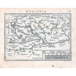
Ortelius, Abraham Ungarn - HungariaBestell-Nr .: 08259
Ungarn. "Hungaria". Orig. copper-engraving from the French edition of A. Ortelius' Epitome. Published in Antwerpen by J. B. Vrienst, 1602. With decorative title-cartouche with the scale of map ("Scala milliarium"). 7,5:11 cm.
1 800,00 KčZu verkaufen -
Mercator, Gerardus HungariaBestell-Nr .: 08256
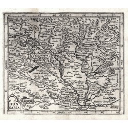
Ungarn. "Hungaria". Orig. copperplate engraving after G. Mercator's map of the region. Published in Amsterdam by J. Hondius, with C. Claesz. and Jan Jansz., 1609. With ornamental title-cartouche with the scale of map ("Mill. Germanica"). 15:18 cm.
2 400,00 KčZu verkaufen -
Janssonius, Johannes TransylvaniaBestell-Nr .: 08253
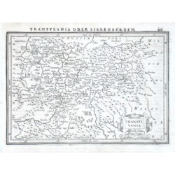
"Transylvania". Orig. copper-engraving. Published by J. Janssonius in Amsterdam, 1648-51. With ornamental title-cartouche and printed German heading-title ("Transylvania oder Siebenburgen"). 14:20 cm.
1 800,00 KčZu verkaufen -
Merian, Matthäus Lacus Bodamicus. Der Boden SeeBestell-Nr .: 08163
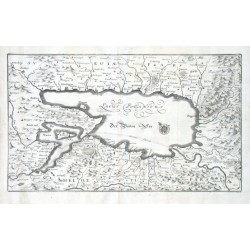
"Lacus Bodamicus. Der Boden See". Orig. Kupferstich, M. Merian, um 1650. Mit gest. Titel und Windrose. 22,5:38,5 cm.
12 000,00 KčZu verkaufen -
de la Feuille, Daniel Le Royaume de Portugal et AlgarveBestell-Nr .: 08145
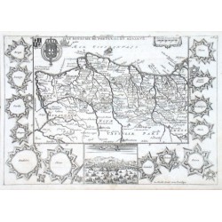
"Le Royaume de Portugal et Algarve". Orig. copper-engraving. Published by D. de la Feuille, 1703. With engraved title, 2 coats-of-arms and ornamental cartouche with the scale of map. The map is surrounded by 13 fortifications plans of main...
2 800,00 KčZu verkaufen -
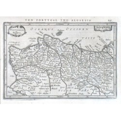
Mercator, Gerardus Portugallia et AlgarveBestell-Nr .: 08139
"Portugallia et Algarve". Orig. copper-engraving after G. Mercator's map of the region. Published in Amsteradam by J. Janssonius, 1648. With ornamental title-cartouche, decorative cartouche with the scale of map ("Scala leucae Hispanicarum") and...
2 100,00 KčZu verkaufen -
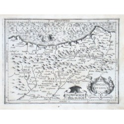
Mercator, Gerardus Biscaia et LegioBestell-Nr .: 08136
"Biscaia et Legio". Orig. copper-engraving after G. Mercator's map of the region. Published by J. Hondius, C. Claesz. and J. Jansz. in Amsterdam, 1607. With ornamental title-cartouche, another ornamental cartouche with the scale of map ("Leucae...
2 400,00 KčZu verkaufen -
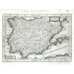
Keere, Pieter van den (Petrus Kaerius) Hispania nova Descript.Bestell-Nr .: 08130
Spanien. "Hispania nova Descript.". Orig. copperplate engraving by P. van den Keere (Kaerius). Published in Amsteradam by J. Janssonius, 1648. With ornamental title cartouche. 13,5:19,5 cm.
2 100,00 KčZu verkaufen -
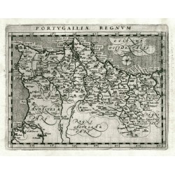
Magini, Giovanni Antonio (Autor) Porro, Girolamo (Andere Autoren) Portugalliae RegnumBestell-Nr .: 08127
Portugal. "Portugalliae Regnum". Orig. copperplate engraving from G. Magini's 'Geographiae Universae'. Engraved by G. Porro. Published by P. Keschedt in Cologne, 1597. 13,5:17,5 cm.
3 800,00 KčZu verkaufen -
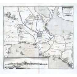
Merian, Matthäus Obsidio Hulstenae ciuitatis et fortality...Bestell-Nr .: 08112
"Obsidio Hulstenae ciuitatis et fortality. MDCXLV. Belägerung Hülst. Anno 1645". Orig. Kupferstich aus Merian, um 1650. Mit dekorative Titelkart., Gesamtansicht der Stadt (5:20 cm) und zahlr. Schiffe. 28:31 cm.
3 500,00 KčZu verkaufen -
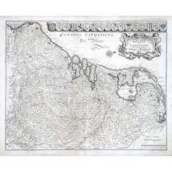
Merian, Matthäus Belgii sive Germania Inferioris....Bestell-Nr .: 08091
Belgien, Niederlande und Luxemburg."Belgii sive Germania Inferioris. Nider-Teütschlandt". Kupf. von M. Merian, um 1640. Mit ornament. Titelkart., Windrose und dekorative Leiste mit 17 Wappen. 29:36 cm.
5 400,00 KčZu verkaufen -
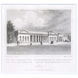
Würbs, Karel Das Schlangenbad und ein Theil des...Bestell-Nr .: 08049
Teplice. Hadí lázně. "Das Schlangenbad und ein Theil des Neubades. Le Schlangenbad et une partie du Nouvel Etablissement de Bains a Teplitz". Pův. oceloryt podle C. Würbse. Ryl J. G. F. Poppel, vydal G. G. Lange v Darmstadtu, ca. 1840. 8,5:12 cm (pouze obrázek).
300,00 KčZu verkaufen -
Janssonius, Johannes Marchia Media Vulgo Mittel Marck in March:...Bestell-Nr .: 07992
"Marchia Media Vulgo Mittel Marck in March: Brandenb:". Altkol. Kupf.-Kte. von J. Janssonius bei P. Schenk und G. Valk, Amsterdam, ca. 1700. Mit 2 kol. fig. Kart. und ornament. Kart. mit 2 Putten (nicht ausgefüllt). 39,5:49,5 cm.
6 800,00 KčZu verkaufen -
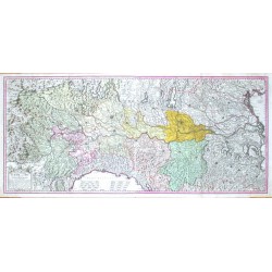
Homann, Johann Baptist Cursus Fluminis Padi vel Po per...Bestell-Nr .: 07977
"Cursus Fluminis Padi vel Po per Longobardiam a fonte usque ad Ostia". Orig. copper-engraving published by Homann's Heirs, 1735. Orig. old colouring. With decorative title-cartouche and the scale of map. Printed from 2 plates. 51,5:116 cm.
25 000,00 KčZu verkaufen -
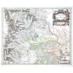
Blaeu, Joan Piemonte et MonferratoBestell-Nr .: 07974
Piemont. "Piemonte et Monferrato". Altkol. Kupf.-Kte. bei J. und C. Blaeu, Amsterdam, 1641. Mit fig. Titelkart. und ornament. Kart. mit Meilenanzeiger ("Scala di Miglia undeci"). 42:52,5 cm.
6 500,00 KčZu verkaufen -
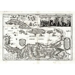
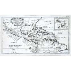
Scherer, Heinrich Archipelagi Americani delineatio geographicaBestell-Nr .: 07971
Antillen. "Archipelagi Americani delineatio geographica". Orig. copperplate engraving from H. Scherer's "Atlas novus", published in Munich, 1703. With ornamental title cartouche. 23:34 cm.
7 500,00 KčZu verkaufen -
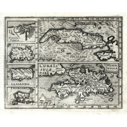
Mercator, Gerardus Cvba Insvla, Hispaniola InsulaBestell-Nr .: 07956
Antilles."Cuba Insula", "Hispaniola Insula". Orig. copper-engraving after G. Mercator's maps of the region. Published in Amsterdam by J. Janssonius, 1648-51. With 5 decorative cartouches. Two main maps (the map of Cuba with small inset map of...
4 500,00 KčZu verkaufen -
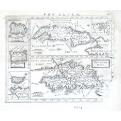
Mercator, Gerardus Cuba Insula - Hispaniola - Havana PortusBestell-Nr .: 07953
Antillen. "Cuba Insula"; "Hispaniola". Orig. copperplate engraving from Mercator's Atlas Minor. Published by J. Hondius in Amsterdam, 1609. Two main maps and 4 inset charts to the left: "Havana Portus"; "Iamaica"; "I. S. Ioannis"; "I. Margareta". 14,5:18,5 cm.
5 000,00 KčZu verkaufen -
Dampier, William Tabula Regionum in America Media Sitarum....Bestell-Nr .: 07944
Mittelamerika und Antillen."Tabula Regionum in America Media Sitarum. Land Karte des Mittlern theils von America". Orig. copper-engraving after W. Dampier's map of Central America. Published 1703. With ornamental title-cartouche, inset map of...
5 400,00 KčZu verkaufen -
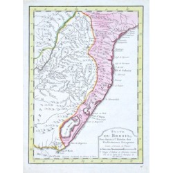
d'Anville, Jean Baptiste Bourguignon Suite du BresilBestell-Nr .: 07932
Brasilien."Suite du Bresil, Pour servir a l'Histoire des Etablissemens Europeens". Orig copper-engraving after J. B. B. d'Anville's map of the region, published ca. 1750. Orig. old colouring. With decorative title-cartouche. 23,5:17 cm.
2 400,00 KčZu verkaufen -
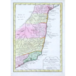
d'Anville, Jean Baptiste Bourguignon Suite du Bresil, Depuis la Baie de Tous...Bestell-Nr .: 07929
Brasilien."Suite du Bresil, Depuis la Baie de Tous les Saints jusqu' a St. Paul. Pour servir a l'Histoire des Estab. Europ.". Orig copper-engraving after J. B. B. d'Anville's map of the region, published ca. 1750. Orig. old colouring. With...
2 400,00 KčZu verkaufen -
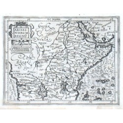
Mercator, Gerardus Abissinorum RegnumBestell-Nr .: 07905
Ostafrika."Abissinorum Regnum". Orig. copper-engraving after G. Mercator's map of the region. Published in Amsterdam by J. Hondius, C. Claesz. and J. Jansz., 1609. With ornamental title-cartouche with the scale of map ("Milliaria Germanica")....
2 700,00 KčZu verkaufen -
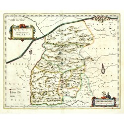
Blaeu, Joan (Autor) Martini, Martino (Andere Autoren) Xansi, Imperii Sinarum Provincia secundaBestell-Nr .: 07875
Shanxi. "Xansi, Imperii Sinarum Provincia secunda". Orig. copperplate engraving after M. Martini's map of China. Published by J. Blaeu, 1655. Orig. old colouring. With ornamental title cartouche. 40:48,5 cm.
14 000,00 KčZu verkaufen

