Keine Artikel
Schottland
Schottland Es gibt 21 Artikel.
Unterkategorien
-
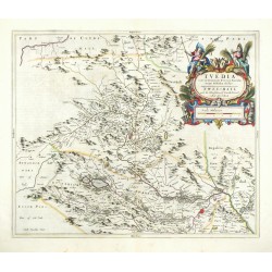
Blaeu, Joan (Autor) Pont, Timothy (Andere Autoren) Tvedia cum vicecomitatu Etterico Forestae...Bestell-Nr .: 26061
Tweeddale. "Tvedia cum vicecomitatu Etterico Forestae etiam Selkirkae dictus". Orig. copperplate engraving after T. Pont's map of the region. Published by J. Blaeu in Amsterdam, 1663. Orig. old colouring. 42,5:50,5 cm.
7 500,00 KčZu verkaufen -
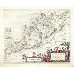
Blaeu, Joan (Autor) Pont, Timothy (Andere Autoren) Lidalia vel Lidisdalia RegioBestell-Nr .: 26060
Liddesdale. "Lidalia vel Lidisdalia Regio. Lidisdail". Orig. copperplate engraving after T. Pont's map of the region. Published by J. Blaeu in Amsterdam, 1663. Orig. old colouring. 41:52 cm.
7 500,00 KčZu verkaufen -
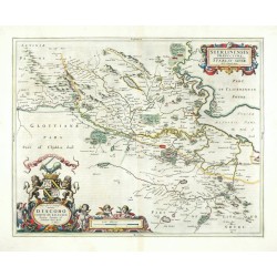
Blaeu, Joan (Autor) Pont, Timothy (Andere Autoren) Sterlinensis PraefecturaBestell-Nr .: 26059
Stirlingshire. "Sterlinensis Praefectura. Sterlin-shyr". Orig. copperplate engraving after T. Pont's map of the region. Published by J. Blaeu in Amsterdam, 1663. Orig. old colouring. 41:52 cm.
6 200,00 KčZu verkaufen -
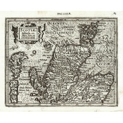
Hondius, Jodocus (Autor) Mercator, Gerardus (Andere Autoren) Scotiae tabula III.Bestell-Nr .: 25939
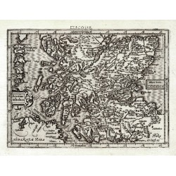
Nordschottland. "Scotiae tabula III.". Orig. copperplate engraving from Mercator's Atlas Minor. Published by J. Hondius in Amsterdam, 1609. With ornamental title cartouche with the scale of map, a ship and French title above the map. 14,5:18,5 cm.
2 400,00 KčZu verkaufen -
Hondius, Jodocus (Autor) Mercator, Gerardus (Andere Autoren) Scotiae tabula II.Bestell-Nr .: 25938
Südschottland. "Scotiae tabula II.". Orig. copperplate engraving from Mercator's Atlas Minor. Published by J. Hondius in Amsterdam, 1609. With ornamental title cartouche, another cartouche with the scale of map and French title above the map. 13,5:18,5 cm.
2 400,00 KčZu verkaufen -
Blaeu, Joan (Autor) Pont, Timothy (Andere Autoren) Annandiae Praefectura, Vulgo The...Bestell-Nr .: 21659
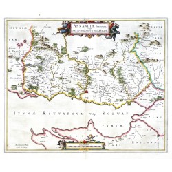
Schottland. Annandale. "Annandiae Praefectura, Vulgo The Stewartrie of Annandail". Orig. copperplate engraving after T. Pont's map of the region. Published by J. Blaeu in Amsterdam, 1654. Original old colouring. 42,5:51 cm.
5 800,00 KčZu verkaufen -
Blaeu, Joan (Autor) Pont, Timothy (Andere Autoren) Teviotia Vulgo TivedailBestell-Nr .: 18612
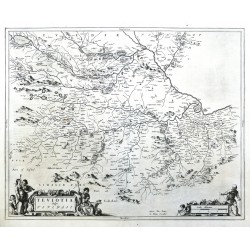
Schottland. Scottish Borders. Teviotdale. "Teviotia Vulgo Tivedail". Orig. copperplate engraving after T. Pont's map. Published by J. Blaeu in Amsterdam, 1654. With ornametal and figure title-cartouche and another figure cartouche with the scale of map. 43:54 cm.
4 200,00 KčZu verkaufen -
Blaeu, Joan (Autor) Pont, Timothy (Andere Autoren) Cantyra ChersonesusBestell-Nr .: 10440
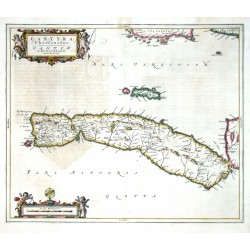
Schottland. Kintyre. "Cantyra Chersonesus, Cantyr a Demie-yland". Orig. copperplate engraving after T. Pont's map of the region. Published by J. Blaeu in Amstradam, 1654. Orig. old colouring. 41,5:50 cm.
6 800,00 KčZu verkaufen -
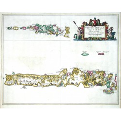
Blaeu, Joan (Autor) Pont, Timothy (Andere Autoren) Vistus Insula, vulgo UiistBestell-Nr .: 10428
Schottland. Hebriden. Uist. "Uistus Insula, vulgo Uiist, cum aliis minoribus ex Aebudarum numero ei ad meridiem adjacentibus". Orig. copperplate engraving after T. Pont's map. Published by J. Blaeu in Amsterdam, 1654. Original old colouring. 45,5:58,5 cm.
6 500,00 KčZu verkaufen -
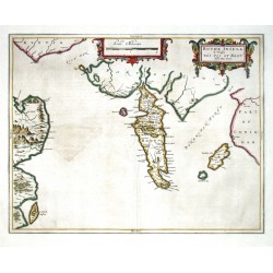
Blaeu, Joan (Autor) Pont, Timothy (Andere Autoren) Buthe Insula Vulgo The Yle of BootBestell-Nr .: 10416
Schottland. Bute. "Buthe Insula Vulgo The Yle of Boot". Orig. copperplate engraving after T. Pont's map. Published by J. Blaeu in Amsterdam, 1654. Original old colouring. 39,5:50,5 cm.
6 800,00 KčZu verkaufen -
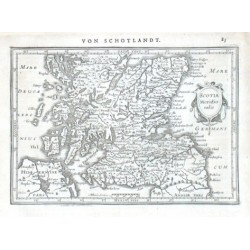
Mercator, Gerardus Scotia MeridionalisBestell-Nr .: 10410
"Scotia Meridionalis". Orig. copper-engraving after G. Mercator's map of Scotland. Published in Amsterdam by J. Janssonius, 1648-51. With ornamental title-cartouche, a scale of map ("Miliaria Scotica") and German heading-title ("Von Schotlandt")....
3 000,00 KčZu verkaufen -
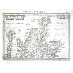
Mercator, Gerardus Scotia SeptentrionalisBestell-Nr .: 10407
"Scotia Septentrionalis". Orig. copper-engraving after G. Mercator's map of Scotland. Published in Amsterdam by J. Janssonius, 1648-51. With ornamental title-cartouche, another cartouche with the scale of map ("Miliaria Scotica") and German...
2 800,00 KčZu verkaufen -
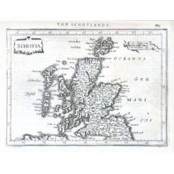
Mercator, Gerardus SchotiaBestell-Nr .: 10404
"Schotia". Orig. copper-engraving after G. Mercator's map of Scotland. Published in Amsterdam by J. Janssonius, 1648-51. With ornamental title-cartouche, another cartouche with the scale of map ("M. Anglica cum. M. Germanica cum.") and German...
3 800,00 KčZu verkaufen -
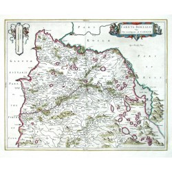
Blaeu, Joan (Autor) Pont, Timothy (Andere Autoren) Caricta BorealisBestell-Nr .: 09363
Schottland. Carrick. "Caricta Borealis Vulgo The north part of Carrick". Orig. copperplate engraving after T. Pont's map. Published by J. Blaeu in Amsterdam, 1654. Original old colouring. 42:52,5 cm.
5 200,00 KčZu verkaufen -
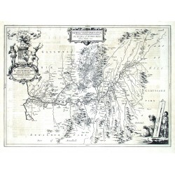
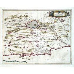
Blaeu, Joan (Autor) Pont, Timothy (Andere Autoren) Nithia VicecomitatusBestell-Nr .: 09348
Schottland. Nithsdale. "Nithia Vicecomitatus. The Shirifdome of Nidis-Dail". Orig. copperplate engraving after T. Pont's map. Published by J. Blaeu in Amsterdam, 1654. 39:53,5 cm.
4 800,00 KčZu verkaufen -
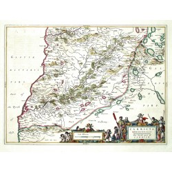
Blaeu, Joan (Autor) Pont, Timothy (Andere Autoren) Carricta MeridionalisBestell-Nr .: 09342
Schottland. Carrick. "Carricta Meridionalis. The South part of Carrick". Orig. copperplate engraving after T. Pont's map. Published by J. Blaeu in Amsterdam, 1654. Original old colouring. 38,5:53 cm.
5 200,00 KčZu verkaufen -
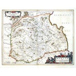
Blaeu, Joan (Autor) Pont, Timothy (Andere Autoren) Mercia Vulgo Vicecomitatus BervicensisBestell-Nr .: 09339
Schottland. Berwickshire. "Mercia Vulgo Vicecomitatus Bervicensis. The Merce or Shirrefdome of Berwick". Orig. copperplate engraving after T. Pont's map. Published by J. Blaeu in Amsterdam, 1654. Original old colouring. 38,5:50 cm.
5 200,00 KčZu verkaufen -
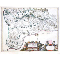
Blaeu, Joan (Autor) Pont, Timothy (Andere Autoren) Praefectura Kircubriensis, quae...Bestell-Nr .: 09264
Schottland. Kirkcudbrightshire. "Praefectura Kircubriensis, quae Gallovidiae maxime orientalis pars est. The Steuartrie of Kircubright, Orig. copperplate engraving after T. Pont's map. Published by J. Blaeu in Amsterdam, 1654. Original old colouring. 42,5:54,5 cm.
6 000,00 KčZu verkaufen -
Blaeu, Joan (Autor) Pont, Timothy (Andere Autoren) Teviotia Vulgo TivedailBestell-Nr .: 06966
Schottland. Scottish Borders. Teviotdale. "Teviotia Vulgo Tivedail". Orig. copperplate engraving after T. Pont's map. Published by J. Blaeu in Amsterdam, 1654. Original old colouring. With ornametal and figure title-cartouche and another figure cartouche with the scale of map. 43:54 cm.
5 200,00 KčZu verkaufen -
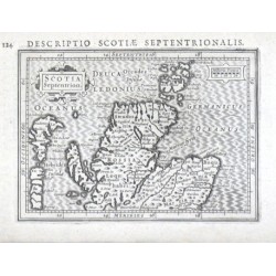
Bertius, Petrus Scotia Septentrion.Bestell-Nr .: 01251
"Scotia Septentrion.". Copper-engraving by P. Bertius published by J. Hondius, 1616-18. With small ornamental cartouche, the scale of map ("Miliaria Scotica") and Latin heading-title. 9,5:13,3 cm.
2 100,00 KčZu verkaufen -
Blaeu, Willem Janszoon Fifae pars occidentalisBestell-Nr .: 00998
Fife. "Fifae pars occidentalis. The West part of Fife". Orig. copper-engraving published by J. Blaeu in Amsterdam, 1654. Original old colouring. With figure title-cartouche. 42:53,5 cm.
6 800,00 KčZu verkaufen

