Keine Artikel
Kuba Es gibt 5 Artikel.
-
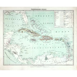
Flemming, Carl Westindische InselnBestell-Nr .: 25705
Karibik. "Westindische Inseln". Orig. lithography, C. Flemming, Glogau, ca. 1845. Orig. old colouring. With litho. title above the map and a cartouche with explanatory notes. 30:38,5 cm (the map).
1 050,00 KčZu verkaufen -
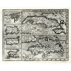
Mercator, Gerardus Cuba Insula - Hispaniola - Havana PortusBestell-Nr .: 07953
Antillen. "Cuba Insula"; "Hispaniola". Orig. copperplate engraving from Mercator's Atlas Minor. Published by J. Hondius in Amsterdam, 1609. Two main maps and 4 inset charts to the left: "Havana Portus"; "Iamaica"; "I. S. Ioannis"; "I. Margareta". 14,5:18,5 cm.
5 000,00 KčZu verkaufen -
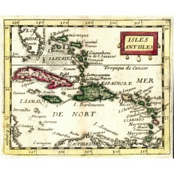
Duval, Pierre Isles AntillesBestell-Nr .: 06447
Antillen und Bahamas (Karibik). "Isles Antilles". Orig. copperplate engraving, P. Duval, Paris, 1670. Original old colouring. With decorative title-cartouche. 10:12,5 cm.
2 500,00 KčZu verkaufen -
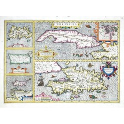
Hondius, Jodocus Cuba Insula - Hispaniola Insula - Insula...Bestell-Nr .: 00098
Antillen (Westindischen Inseln). "Cuba Insula. Hispaniola Insula. Insula Iamaica. Ins. S. Ioannis. I. S. Margareta". Orig. copper-engraving, J. Hondius, 1606. Coloured. 36:50 cm.
16 000,00 KčZu verkaufen -
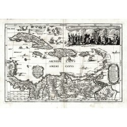
Scherer, Heinrich Archipelagi Americani delineatio geographicaBestell-Nr .: 07971
Antillen. "Archipelagi Americani delineatio geographica". Orig. copperplate engraving from H. Scherer's "Atlas novus", published in Munich, 1703. With ornamental title cartouche. 23:34 cm.
7 500,00 KčZu verkaufen

