Keine Artikel
Amerika
Amerika Es gibt 108 Artikel.
Unterkategorien
-
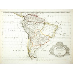
Sanson, Nicolas Amerique MeridionaleBestell-Nr .: 26444
Südamerika. "Amerique Meridionale". Orig. copperplate engraving, N. Sanson. Published by G. Sanson in Paris, 1669. Orig. old colouring. With ornamental title-cartouche. 39,5:54,5 cm.
9 500,00 KčZu verkaufen -
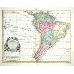
Lotter, Tobias Conrad (Autor) Delisle, Guillaume (Andere Autoren) America meridionalisBestell-Nr .: 26070
Südamerika. "America Meridionalis". Orig. copperplate engraving after G. Delisle's map of South America. Published by T. C. Lotter, Augsburg, ca. 1760. Coloured. 45,5:59,5 cm.
8 500,00 KčZu verkaufen -
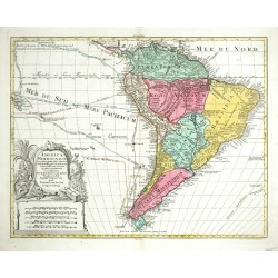
Lotter, Tobias Conrad (Autor) Delisle, Guillaume (Andere Autoren) America meridionalisBestell-Nr .: 26069
Südamerika. "America Meridionalis". Orig. copperplate engraving after G. Delisle's map of South America. Published by T. C. Lotter, Augsburg, ca. 1760. Coloured. 46:58,5 cm.
9 500,00 KčZu verkaufen -
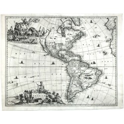
Meurs, Jacob van (Autor) Montanus, Arnoldus (Andere Autoren) Novissima et Accuratissma Totius America...Bestell-Nr .: 25777
Amerika. "Novissima et Accuratissma Totius America Descriptio". Orig. copperplate engraving, J. van Meurs, Amsterdam, 1673. With figure title cartouche, another allegorical cartouche and many ships. 43,5:54 cm.
40 000,00 KčZu verkaufen -
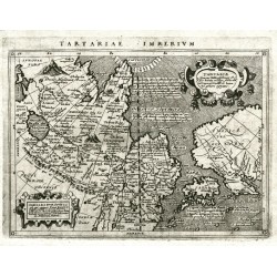
Magini, Giovanni Antonio (Autor) Porro, Girolamo (Andere Autoren) Tartariae ImperiumBestell-Nr .: 18270
Nordostasien / Tatarei / Nordamerika. "Tartariae Imperium". Orig. copperplate engraving from G. Magini's 'Geographiae Universae'. Engraved by G. Porro. Published by P. Keschedt in Cologne, 1597. 13:17 cm.
4 500,00 KčZu verkaufen -
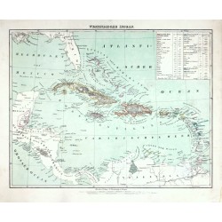
Flemming, Carl Westindische InselnBestell-Nr .: 25705
Karibik. "Westindische Inseln". Orig. lithography, C. Flemming, Glogau, ca. 1845. Orig. old colouring. With litho. title above the map and a cartouche with explanatory notes. 30:38,5 cm (the map).
1 050,00 KčZu verkaufen -
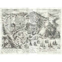
Ens, Gaspar S. SalvadorBestell-Nr .: 25625
Salvador (Bahia, Brasilien). "S. Salvador". Orig. copperplate engraving from: Gaspar Ens, 'Fama Austriaca', Cologne, 1627. With engraved title, depictin of naval battle and explanatory notes under the picture. 20,5:30 cm (the picture).
6 000,00 KčZu verkaufen -
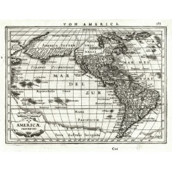
Janssonius, Johannes (Autor) Goos, Abraham (Andere Autoren) Americae DescriptioBestell-Nr .: 25530
Amerika. "Americae Descriptio". Orig. copperplate engraving from Mercator's Atlas Minor. Published by J. Janssonius in Amsterdam, 1648. With ornamental title cartouche with the scale of map. 14,5:20 cm.
9 000,00 KčZu verkaufen -
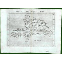
Ruscelli, Girolamo Isola Spagnola NovaBestell-Nr .: 17643
Hispaniola (Haiti/Dominikanische Republik) und Martinique. "Isola Spagnola Nova". Orig. copper-engraving from G. Ruscelli's edition of Ptolemy's Geography. Published in Venice by G. Ziletti, 1562. With title above the map. 18,5:24,5 cm.
4 000,00 KčZu verkaufen -
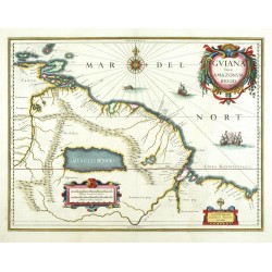
Blaeu, Willem Janszoon Guiana sive Amazonum regioBestell-Nr .: 25343
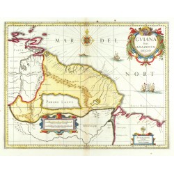
Venezuela, Guyana, Surinam, Brasilien. "Guiana sive Amazonum regio". Orig. copperplate engraving, W. J. Blaeu, 1630. Orig. old colouring. With 3 ornamental cartouches, a windrose and several sailing ships. 37,5:49,5 cm.
8 000,00 KčZu verkaufen -
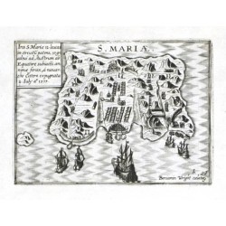
Visscher, Claes Jansz. (Autor) Wright, Benjamin (Andere Autoren) S. MariaeBestell-Nr .: 18405
Santa Maria Island (Chile). "S. Mariae". Orig. copperplate engraving by B. Wright. Published by C. J. Visscher in Amsterdam, 1649 (in Tabulae Geographicae Contrare). With engraved title, a cartouche with description and several ships. 9:12 cm.
2 700,00 KčZu verkaufen -
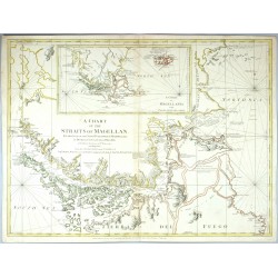
Cano y Olmedilla, Juan de la Cruz A Chart of the Straits of Magellan ......Bestell-Nr .: 25197
Magellanstraße, Falklandinseln. "A Chart of the Straits of Magellan ... with Falkland's Islands". Orig. altkol. Kupferstich Karte bei R. Sayer und J. Bennett, London, 1775. Mit gest. Titel und einer Nebenkarte. 52:79 cm.
15 000,00 KčZu verkaufen -
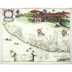
Blaeu, Joan Praefectura De Ciriii, vel Seregippe Del...Bestell-Nr .: 25193
Brasilien. "Praefectura De Ciriii, vel Seregippe Del Rey cum Itapuama". Orig. Kupferstich Karte, J. Blaeu, Amsterdam, 1662. Orig. altes Kolorit, an einigen Stellen mit Goldfarbe hervorgehoben. Mit ornament. Titelkart.. 42:54 cm.
35 000,00 KčZu verkaufen -
Blaeu, Joan Praefecturae Paranambucae Pars BorealisBestell-Nr .: 25192
Brasilien. "Praefecturae Paranambucae Pars Borealis". Orig. altkol. Kupferstich Karte, J. Blaeu, Amsterdam, 1647. Mit ornament. Titelkart.. 41,5:53,5 cm.
70 000,00 KčZu verkaufen -
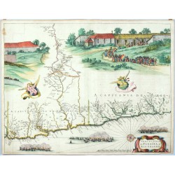
Blaeu, Joan Praefecturae Paranambucae Pars MeridionalisBestell-Nr .: 25191
Brasilien. "Praefecturae Paranambucae Pars Meridionalis". Orig. altkol. Kupferstich Karte, J. Blaeu, Amsterdam, 1647. Mit ornament. Titelkart.. 41,5:45 cm.
60 000,00 KčZu verkaufen -
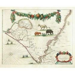
Blaeu, Joan Praefecturae de Paraiba, et Rio GrandeBestell-Nr .: 25188
Brasilien. "Praefecturae de Paraiba, et Rio Grande". Orig. altkol. Kupferstich Karte, J. Blaeu, Amsterdam, 1647. Mit ornament. Titelkart.. 42:54 cm.
65 000,00 KčZu verkaufen -
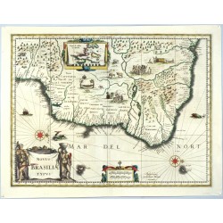
Hondius, Jodocus Novus Brasiliae TypusBestell-Nr .: 25187
Brasilien. "Novus Brasiliae Typus". Orig. kol. Kupferstich Karte, J. Hondius, 1629. Bei W. J. Blaeu, Amsterdam, 1630. Mit fig. Titelkart. und Nebenkarte (Baya de Todos os Sanctos). 38:50 cm.
16 000,00 KčZu verkaufen -
Hondius, Henricus Accuratissima Brasiliae TabulaBestell-Nr .: 25186
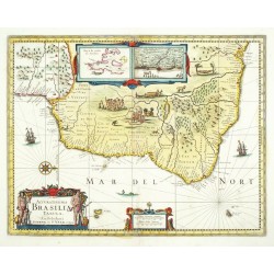
Brasilien. "Accuratissima Brasiliae Tabula". Orig. kol. Kupferstich Karte, H. Hondius, 1630. Bei P. Schenk & G. Valck, Amsterdam, ca. 1700. Mit fig. Titelkart. und 2 Nebenkarten (Olinda de Pernambuco und Baya de Todos os Sanctos). 37,5:48,5 cm.
16 000,00 KčZu verkaufen -
Blaeu, Willem Janszoon Guiana sive Amazonum regioBestell-Nr .: 25185
Venezuela, Guyana, Surinam, Brasilien. "Guiana sive Amazonum Regio". Orig. copperplate engraving, W. J. Blaeu, 1630. Published by P. Schenk & G. Valck, Amsterdam, ca. 1700. Coloured. 37,5:49,5 cm.
6 500,00 KčZu verkaufen -
Probst, Johann Michael Asia verlegt von Ioh. Mich. ProbstBestell-Nr .: 24859
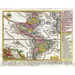
Amerika. "America verlegt von Ioh. Mich. Probst". Orig. copperplate engraving. Published by J. M. Probst in Augsburg, ca. 1785. Orig. old colouring. 18,5:23,5 cm.
8 000,00 KčZu verkaufen -
Hondius, Jodocus America meridionalisBestell-Nr .: 24769
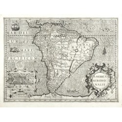
Südamerika. "America meridionalis". Orig. copperplate engraving, J. Hondius, 1606. From Mercator - Hondius Atlas, published by H. Hondius in Amsterdam, 1630. With figure title cartouche, an ornamental cartouche with the view of Cusco and many other decorations (Indians, ships, sea monsters). 36:49 cm.
20 500,00 KčZu verkaufen -
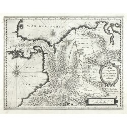
Blaeu, Willem Janszoon Terra Firma et Novum Regnum Granatense et...Bestell-Nr .: 24768
Kolumbien. "Terra Firma et Novum Regnum Granatense et Popayan". Orig. copperplate engraving, W. J. Blaeu, Amsterdam, 1630. 37,5:48 cm.
8 500,00 KčZu verkaufen -
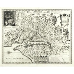
Blaeu, Willem Janszoon Nova Virginiae tabulaBestell-Nr .: 24767
Virginia. "Nova Virginiae tabula". Orig. copperplate engraving, W. J. Blaeu, Amsterdam, 1630. Engraved by D. Grijp after captain J. Smith map. 37,5:48 cm.
30 000,00 KčZu verkaufen -
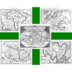
Ortelius, Abraham Welt und Kontinente - Typus Orbis Terrarum...Bestell-Nr .: 14448
Welt und Kontinente. "Typus Orbis Terrarum" + "Europa" + "Asia" + "Africa" + "America sive Novus Orbis". Orig. copperplate engravings from the French edition of A. Ortelius' Epitome, published in Antwerp by Plantin Press for F. Galle, 1598.
21 000,00 KčZu verkaufen -
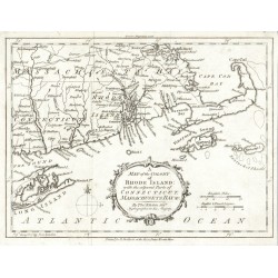
Kitchin, Thomas A Map of the Colony of Rhode Island with ...Bestell-Nr .: 24572
USA. Rhode Island. "A Map of the Colony of Rhode Island with the adjacent Parts of Connecticut, Massachusets Bay &c.". Orig. copperplate engraving by T. Kitchin. Published by R. Baldwin in London, 1778. With ornament. title cartouche. 18:24 cm.
3 000,00 KčZu verkaufen -
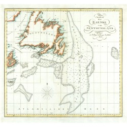
Charte der Baenke von NewfoundlandBestell-Nr .: 24465
Newfoundland. "Charte der Baenke von Newfoundland". Orig. copperplate engraving, 1821. Orig. old colouring. 32:34,5 cm.
3 000,00 KčZu verkaufen -
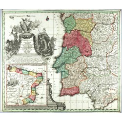
Seutter, Matthäus Portugalliae et Algarbiae RegnaBestell-Nr .: 24396
Portugal. "Portugalliae et Algarbiae Regna". Orig. copperplate engraving, M. Seutter, Augsburg, ca. 1730. Original old colouring. With great ornamental title-cartouche with figures, coats-of-arms, ships and inset map of Brazil. 49,5:57,5 cm.
12 000,00 KčZu verkaufen -
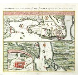
Homann Heirs Vorstellung einiger gegenden und Plaetze...Bestell-Nr .: 23670
Kanada. "Vorstellung einiger gegenden und Plaetze in Nord-America unter Francoesisch und Englische Iurisdiction gehoerig". Orig. copperplate engraving, Homann Heirs, 1756. With German ttle above the map. 45:51,5 cm.
14 200,00 KčZu verkaufen -
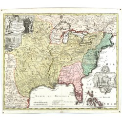
Homann, Johann Baptist Amplissimae Regionis MississipiBestell-Nr .: 23665
Vereinigte Staaten (USA). "Amplissimae Regionis Mississipi Seu Provinciae Lidovicianae ... in America Septentrionali Anno 1687 detectae". Orig. copperplate engraving, J. B. Homann, ca. 1720. Orig. old colouring. With great figure title-cartouche with depiction of...
40 000,00 KčZu verkaufen -
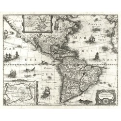
Merian, Matthäus America noviter delineataBestell-Nr .: 23662
Amerika. "America noviter delineata". Orig. copperplate engraving, M. Merian, 1638 after J. Hondius map of America. With ornamental title cartouche, many ships and sea-creatures and 2 inset maps (Greenland and Iceland; Antarctica - South Pole). 35,5:45 cm.
21 000,00 KčZu verkaufen -
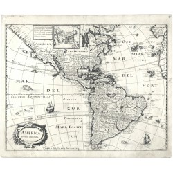
Merian, Matthäus America noviter delineataBestell-Nr .: 23661
Amerika. "America noviter delineata". Orig. copperplate engraving, M. Merian, 1638. With ornamental title cartouche, 2 ships and inset map of Greenland and Iceland. 28:36 cm.
16 000,00 KčZu verkaufen -
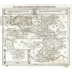
Münster, Sebastian Americae sive Novi Orbis, nova descriptioBestell-Nr .: 23660
Amerika. "Americae sive Novi Orbis, nova descriptio". Orig. woodblock, 1588 from S. Munster's Cosmographey. Published in Basel by S. Petri, 1614. With decorative title-cartouche, a cartouche with explanatory notes and German title ("Die newen Inseln ...") above the map. 31:36,5 cm.
24 000,00 KčZu verkaufen -
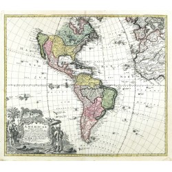
Homann Heirs Americae Mappa generalisBestell-Nr .: 23659
Amerika. "Americae Mappa generalis". Orig. copper-engraving after A. G. Boehm drawing. Published by Homann Heirs in Nuremberg, 1746. Orig. old colouring. With great figure title cartouche. 47:54,5 cm.
15 000,00 KčZu verkaufen -
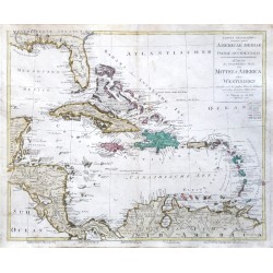
Walch, Johann Tabula ... Americae Mediae ... Karte des...Bestell-Nr .: 22816
Westindischen Inseln. "Tabula geographica ... Americae Mediae sive Indiae Occidentalis. Karte des ... Theils von Mittel-America oder Westindien". Orig. copper-engraving by Joh. Walch, Augsburg, 1798. Orig. old colouring. With Lat.-Ger. title-cartouche. 50:59,5 cm.
14 500,00 KčZu verkaufen -
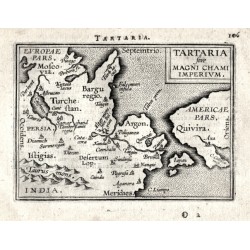
Ortelius, Abraham Tartaria sive Magni Chami ImperiumBestell-Nr .: 14307
Nordostasien. "Tartaria sive Magni Chami Imperivm". Orig. copper-engraving from the French edition of A. Ortelius' Epitome, published in Antwerp by Plantin Press for F. Galle, 1598. With title-cartouche and Latin title above the map. 8:10,5 cm.
4 000,00 KčZu verkaufen -
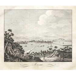
Mexiko-StadtBestell-Nr .: 22622
Mexiko-Stadt. "Mexico". Orig. copper-engraving from C. Rainold. Prague: Pospisil, 1830. With title under the picture. 15:16,5 cm.
900,00 KčZu verkaufen -
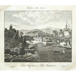
Rio de JaneiroBestell-Nr .: 22621
Rio de Janeiro. "Přístaw v Rio Janeiro. Der Hafen von Rio Janeiro". Orig. copper-engraving after J. Boehm's drawing from C. Rainold. Prague: Pospisil, 1830. With Czech title above picture and German title under it. 15:16,5 cm.
900,00 KčZu verkaufen -
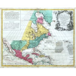
l'Isle, Gerard de America SeptentrionalisBestell-Nr .: 20442
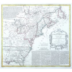
Nordamerika."America Septentrionalis". Altkol. Kupf.-Kte. nach G. de L'Isle (gest. von G. F. Lotter) bei T. C. Lotter (1717-1777), Augsburg, ca. 1760. Mit gr. figur. Titelkart. (indianischer Handel) und andere Kart mit Meilenanzeiger ("Scalae")...
25 000,00 KčZu verkaufen -
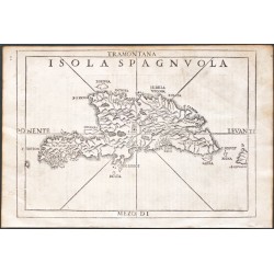
Ramusio, Giovanni Baptista Isola SpagnvolaBestell-Nr .: 20313
Hispaniola."Isola Spagnuola". Orig. woodblock from the 3rd volume of Giov. Batt. Ramusio's 'Delle Navigationi et Viagi' - 'Nel Quale Si Contengono Le Nauigationi al Mondo Nuouo, alli Antichi incognito, fatte da Don Christoforo Colombo Genouese,...
15 000,00 KčZu verkaufen -
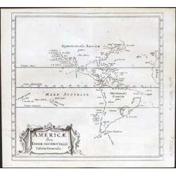
Cluver, Philip Americae sive Indiae Occidentalis Tabula...Bestell-Nr .: 20262
Amerika."Americae sive Indiae Occidentalis Tabula Generalis". Orig. copper-engraving from P. Cluver's "Introductionis in Universam Geographicam". Published in Amsterdam by Elzevier Press, 1659. With ornamental title-cartouches. 12:12,5 cm.
2 400,00 KčZu verkaufen -
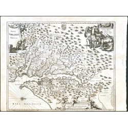
Dapper, Olivier (Olfert) Nova Virginiae TabulaBestell-Nr .: 20229
Virginia."Nova Virginiae Tabula". Orig. copper-engraving from O. Dapper's (1635-1689) "Die unbekannte Neue Welt ... Amerika", published in Amsterdam by J. van Meurs, 1673. With decortive title-cartouche with 3 cherubs, a figure cartouche with...
18 000,00 KčZu verkaufen -
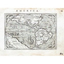
Ortelius, Abraham Amerika - AmericaBestell-Nr .: 19623
Amerika. "America". Orig. copper-engraving from the German edition of A. Ortelius' Epitome, published in Frankfurt am Main by L. Hulsius (Hulst), 1604. With ornamental title-cartouche, a ship, two sea-creatures, ornamental corners and printed...
7 000,00 KčZu verkaufen -
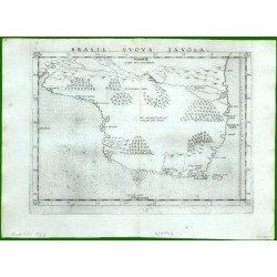
Ruscelli, Girolamo Brasil Nuova TavolaBestell-Nr .: 17142
Brasilien. "Brasil Nuova Tavola". Orig. copper-engraving from G. Ruscelli's edition of Ptolemy's Geography. Published in Venice by G. Ziletti, 1562. With erupting volcano and title above the map. 18,5:25,5 cm.
12 500,00 KčZu verkaufen -
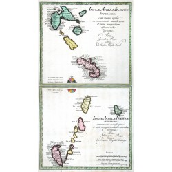
Weigel, Christoph der Ältere Isulae Antillae Francicae Superiores ......Bestell-Nr .: 16593
Kleine Antilen. "Isulae Antillae Francicae Superiores ... Inferiores ...". Orig. copperplate engravings, Ch. Weigel, Nuremberg, 1718. Orig. old colouring. Two plates, each ca. 33:36 cm.
10 500,00 KčZu verkaufen -
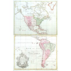
Walch, Johannes L'Amerique selon l'Etendue de Ses...Bestell-Nr .: 15714
Amerika."L'Amerique selon l'Etendue de Ses Principales Parties et don't les Points Principaux sont placez sur les dernieres Observations des Geographes, publieé par Jean Walch: se vend au negoce de Martin Will a Augsbourg". Orig....
18 000,00 KčZu verkaufen -
Homann Heirs America septentrionalisBestell-Nr .: 15342
Nordamerika."America Septentrionalis a Domino d'Anville in Galliis edita nunc in Anglia Coloniis in Interiorem Virginiam deductis nec non Fluvii Ohio cursu ...". Orig. copper-engraving after d'Anville's map. Published in Nuremberg by Homann...
15 000,00 KčZu verkaufen -
Montanus, Arnoldus Arx NassoviiBestell-Nr .: 14679
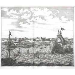
Nassau Festung."Arx Nassovii". Orig. copper-engraving from A. Montanus' "Die Nieuwe en Onbekende Weereld ...". Published in Amsterdam, 1671. With many ships in the foreground, the Fort Nassau in the background and Latin explanatory notes (A.-E.)...
4 500,00 KčZu verkaufen -
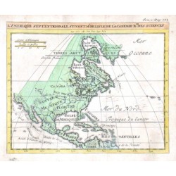
Delisle, Guillaume L'Amerique SeptentrionaleBestell-Nr .: 14178
Nordamerika."L'Amerique Septentrionale". Orig. copper-engraving. after G. Delisle map. Published in Paris, ca. 1700. Orig. old colouring. With title above the map. 14:17 cm.
5 000,00 KčZu verkaufen -
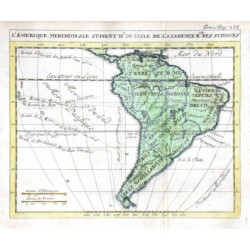
Delisle, Guillaume L'Amerique MeridionalBestell-Nr .: 14172
Südamerika."L'Amerique Meridional". Orig. copper-engraving. after G. Delisle map. Published in Paris, ca. 1700. Orig. old colouring. With title above the map. 14:17 cm.
3 500,00 KčZu verkaufen -
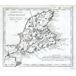
Bellin, Jacques Nicolas Karte von L'Isle RoyaleBestell-Nr .: 11724
"Karte von L'Isle Royale". Orig. copper-engraving, J. N. Bellin, dated 1744. Published in Leipzig, ca. 1760. With title and the scale of map ("Maass-stab"). 24:27,5 cm.
1 500,00 KčZu verkaufen

