Keine Artikel
Amerika
Amerika Es gibt 109 Artikel.
Unterkategorien
-
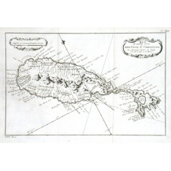
Bellin, Jacques Nicolas Karte von der Inset St. ChristophBestell-Nr .: 11712
"Karte von der Inset St. Christoph". Orig. copper-engraving, J. N. Bellin. Published in Leipzig, ca. 1760. With decorative title-cartouche and another cartouche with the scale of map. 19,5:30,5 cm.
1 500,00 KčZu verkaufen -
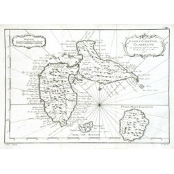
Bellin, Jacques Nicolas Karte von der Insel GuadelupeBestell-Nr .: 11703
"Karte von der Insel Guadelupe". Orig. copper-engraving, J. N. Bellin, dated 1758. Published in Leipzig, ca. 1760. With ornamental title-cartouche and another ornamental cartouche with the scale of map. 21:30,5 cm.
1 500,00 KčZu verkaufen -
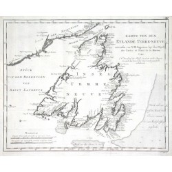
Bellin, Jacques Nicolas Karte von dem Eylande Terre-neuveBestell-Nr .: 11700
"Karte von dem Eylande Terre-neuve". Orig. copper-engraving, J. N. Bellin, dated 1744. Published in Leipzig, ca. 1760. With title and the scale of map. 28,5:36 cm.
2 400,00 KčZu verkaufen -
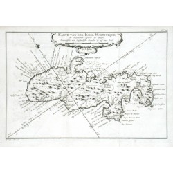
Bellin, Jacques Nicolas Karte von der Insel MartiniqueBestell-Nr .: 11667
"Karte von der Insel Martinique". Orig. copper-engraving, J. N. Bellin, dated 1758. Published in Leipzig, ca. 1760. With decorative title cartouche. 20:30 cm.
2 500,00 KčZu verkaufen -
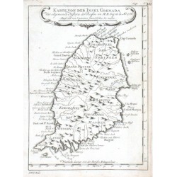
Bellin, Jacques Nicolas Karte von der Insel GrenadaBestell-Nr .: 11655
"Karte von der Insel Grenada". Orig. copper-engraving, J. N. Bellin. Published in Leipzig, ca. 1760. With decorative title cartouche. 21:15,5 cm.
1 200,00 KčZu verkaufen -
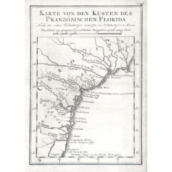
Bellin, Jacques Nicolas Karte von den Küsten des Französischen...Bestell-Nr .: 11643
Florida."Karte von den Küsten des Französischen Florida". Orig. copper-engraving, J. N. Bellin. Published in Leipzig, ca. 1760. With title and the scale of map ("Masasstab") above the map. 20,5:14,5 cm.
2 500,00 KčZu verkaufen -
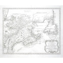
Bellin, Jacques Nicolas Partie Orientale de la Nouvelle France ou...Bestell-Nr .: 10629
Kanada."Partie Orientale de la Nouvelle France ou du Canada". Orig. copper-engraving after J. N. Bellin's map of the region. Published by Homann Heirs, 1755. With ornamental title-cartouche with the scale of map ("Echelles"). 43:54 cm.
12 500,00 KčZu verkaufen -
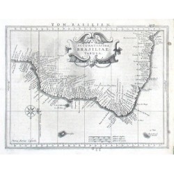
Mercator, Gerardus Accuratissima Brasiliae TabulaBestell-Nr .: 09960
Brasilien."Accuratissima Brasiliae Tabula". Orig. copper-engraving from G. Mercator's "Atlas Minor". Engraved by P. Kaerius (van den Keere), published in Amsterdam by J. Janssonius, 1648-51. With ornamental title-cartouche, a wind-rose and German...
3 800,00 KčZu verkaufen -
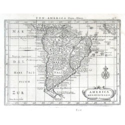
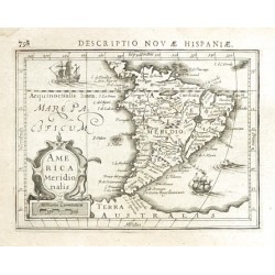
Mercator, Gerardus America MeridionalisBestell-Nr .: 09951
Südamerika."America Meridionalis". Orig. copper-engraving from G. Mercator's "Atlas Minor". Engraved by P. Kaerius (van den Keere), published in Amsterdam by J. Janssonius, 1648-51. With ornamental title-cartouche, a wind-rose and German...
3 800,00 KčZu verkaufen -
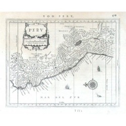
Mercator, Gerardus PeruBestell-Nr .: 09936
Peru."Perv". Orig. copper-engraving from the German ed. of G. Mercator's Atlas Minor. Published by J. Janssonius in Amsterdam, 1648-51. With ornamental title-cartouche with the scale of map ("Milliaria Germanica communia"), a wind-rose, 2 ships,...
3 200,00 KčZu verkaufen -
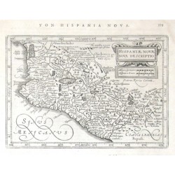
Mercator, Gerardus Hispaniae Novae nova descriptioBestell-Nr .: 09924
Mexiko."Hispaniae Novae nova descriptio". Orig. copper-engraving from the German ed. of G. Mercator's Atlas Minor. Engraved by P. Kaerius (van den Keere), published by J. Janssonius in Amsterdam, 1648-51. With ornamental title-cartouche with the...
3 200,00 KčZu verkaufen -
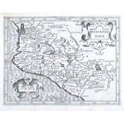
Mercator, Gerardus Hispania NovaBestell-Nr .: 09921
Mexiko."Hispania Nova". Orig. copper-engraving from Latin ed. of G. Mercator's Atlas Minor, published by J. Hondius, with C. Claesz. and J. Jansz. in Amsterdam, 1607. With ornamental title-cartouche and another ornamental cartouche with the scale...
3 200,00 KčZu verkaufen -
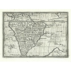
Visscher, Claes Jansz. PeruanaBestell-Nr .: 09918
Südamerika. "Peruana" (title in map). Orig. copperplate engraving, C. J. Visscher, "Tabulae Geographicae Contractae", Amsterdam, 1649. With engraved title. 8,5:12,5 cm.
3 200,00 KčZu verkaufen -
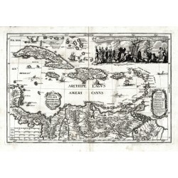
Scherer, Heinrich Archipelagi Americani delineatio geographicaBestell-Nr .: 07971
Antillen. "Archipelagi Americani delineatio geographica". Orig. copperplate engraving from H. Scherer's "Atlas novus", published in Munich, 1703. With ornamental title cartouche. 23:34 cm.
7 500,00 KčZu verkaufen -
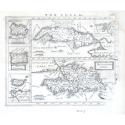
Mercator, Gerardus Cvba Insvla, Hispaniola InsulaBestell-Nr .: 07956
Antilles."Cuba Insula", "Hispaniola Insula". Orig. copper-engraving after G. Mercator's maps of the region. Published in Amsterdam by J. Janssonius, 1648-51. With 5 decorative cartouches. Two main maps (the map of Cuba with small inset map of...
4 500,00 KčZu verkaufen -
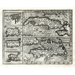
Mercator, Gerardus Cuba Insula - Hispaniola - Havana PortusBestell-Nr .: 07953
Antillen. "Cuba Insula"; "Hispaniola". Orig. copperplate engraving from Mercator's Atlas Minor. Published by J. Hondius in Amsterdam, 1609. Two main maps and 4 inset charts to the left: "Havana Portus"; "Iamaica"; "I. S. Ioannis"; "I. Margareta". 14,5:18,5 cm.
5 000,00 KčZu verkaufen -
Dampier, William Tabula Regionum in America Media Sitarum....Bestell-Nr .: 07944
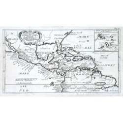
Mittelamerika und Antillen."Tabula Regionum in America Media Sitarum. Land Karte des Mittlern theils von America". Orig. copper-engraving after W. Dampier's map of Central America. Published 1703. With ornamental title-cartouche, inset map of...
5 400,00 KčZu verkaufen -
d'Anville, Jean Baptiste Bourguignon Suite du BresilBestell-Nr .: 07932
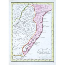
Brasilien."Suite du Bresil, Pour servir a l'Histoire des Etablissemens Europeens". Orig copper-engraving after J. B. B. d'Anville's map of the region, published ca. 1750. Orig. old colouring. With decorative title-cartouche. 23,5:17 cm.
2 400,00 KčZu verkaufen -
d'Anville, Jean Baptiste Bourguignon Suite du Bresil, Depuis la Baie de Tous...Bestell-Nr .: 07929
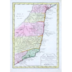
Brasilien."Suite du Bresil, Depuis la Baie de Tous les Saints jusqu' a St. Paul. Pour servir a l'Histoire des Estab. Europ.". Orig copper-engraving after J. B. B. d'Anville's map of the region, published ca. 1750. Orig. old colouring. With...
2 400,00 KčZu verkaufen -
Duval, Pierre GuaianaBestell-Nr .: 06480
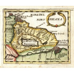
Guyana. "Guaiana". Orig. copperplate engraving, P. Duval, 'Geographiae Universalis', J. Hoffman, Nuremberg, 1679. Original old colouring. With decorative title-cartouche. 10:12,5 cm.
2 500,00 KčZu verkaufen -
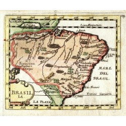
Duval, Pierre BrasiliaBestell-Nr .: 06477
Brasilien. "Brasilia". Orig. copperplate engraving, P. Duval, 'Geographiae Universalis', J. Hoffman, Nuremberg, 1679. Original old colouring. With decorative title-cartouche. 10:12 cm.
3 000,00 KčZu verkaufen -
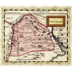
Duval, Pierre TucumanBestell-Nr .: 06462
Argentinien. "Tucuman". Orig. copperplate engraving, P. Duval, Paris, 1670. Original old colouring. With decorative title-cartouche. 10:12,5 cm.
2 000,00 KčZu verkaufen -
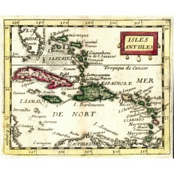
Duval, Pierre Isles AntillesBestell-Nr .: 06447
Antillen und Bahamas (Karibik). "Isles Antilles". Orig. copperplate engraving, P. Duval, Paris, 1670. Original old colouring. With decorative title-cartouche. 10:12,5 cm.
2 500,00 KčZu verkaufen -
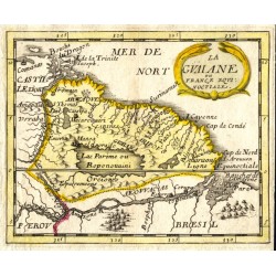
Duval, Pierre La Guaiane ou France EquinoctialeBestell-Nr .: 06441
Guyana. "La Guaiane ou France Equinoctiale". Orig. copperplate engraving, P. Duval, Paris, 1670. Original old colouring. With ornamental title-cartouche. 10:12,5 cm.
2 100,00 KčZu verkaufen -
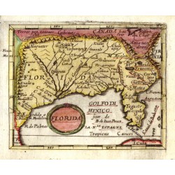
Duval, Pierre FloridaBestell-Nr .: 06429
Florida. "Florida". Orig. copperplate engraving, P. Duval, 'Geographiae Universalis', J. Hoffman, Nuremberg, 1679. Original old colouring. With decorative title-cartouche. 9,5:12 cm.
8 200,00 KčZu verkaufen -
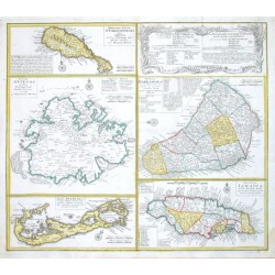
Homann Heirs Dominia Anglorum in praecipuis Insulis...Bestell-Nr .: 06171
"Dominia Anglorum in praecipuis Insulis Americae ... - Die Englische Colonie-Laender Auf den Isuln von America". Orig. copper-engraving published by Homann Heirs, ca. 1750. Maps of 4 islands of West Indies (St. Christoph "Delineatio Insulae St,...
12 000,00 KčZu verkaufen -
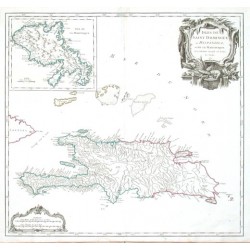
Vaugondy, Robert de Isles de Saint Dominigue ou Hispaniola et...Bestell-Nr .: 06165
"Isles de Saint Dominigue ou Hispaniola et de la Martinique". Orig. copper-engraving published by R. de Vaugondy, 1750. Original old colouring. With great ornamental title-cartouche, another cartouche with the scale of map ("Echelles") and inset...
6 500,00 KčZu verkaufen -
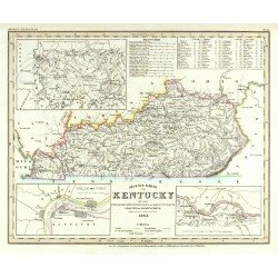
Meyer, Joseph Neueste Karte von KentuckyBestell-Nr .: 05874
USA. Kentucky. "Neueste Karte von Kentucky mit seinen Strassen, Entfernungen der Hauptpunkte & Routen für Dampfschiffe. Nach den bessten Quellen verbessert. 1845". Orig. steel-engraving. Joseph Meyer (from his "Handatlas"), Hildburghausen, 1845. Original old...
2 100,00 KčZu verkaufen -
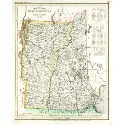
Meyer, Joseph Neueste Karte von New Hampshire und VermontBestell-Nr .: 05859
USA. New Hampshire and Vermont. "Neueste Karte von New Hampshire und Vermont. 1851". Orig. steel-engraving. Joseph Meyer, Hildburghausen, 1851. Original old colouring. With the scale of map, explanatory notes and the table with the list of shires, main cities and the progress...
2 100,00 KčZu verkaufen -
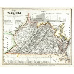
Meyer, Joseph Neueste Karte von VirginiaBestell-Nr .: 05856
USA. Virginia. "Neueste Karte von Virginia mit seinen Canaelen, Strassen, Eisenbahnen, Entfernungen der Hauptpunkte und Dampfschiff Routen. Nach den besten Quellen entworfen und gezeichnet. 1851". Orig. steel-engraving. Joseph Meyer, Hildburghausen, 1851....
2 100,00 KčZu verkaufen -
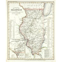
Meyer, Joseph Neueste Karte von IllinoisBestell-Nr .: 05850
USA. Illinois. "Neueste Karte von Illinois mit seinen Strassen, Entfernung. der Hauptpunkte und Routen für Dampfschiffe. Nach den besten Quellen verbessert. 1851". Orig. steel-engraving. Joseph Meyer, Hildburghausen, 1851. Original old colouring. With the...
2 100,00 KčZu verkaufen -
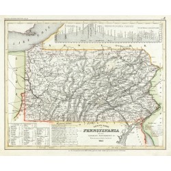
Meyer, Joseph PennsylvaniaBestell-Nr .: 05844
USA. Pennsylvania. "Pennsylvania mit seinen Canaelen, Eisenbahnen & c. Nach den besten Quellen bearbeitet. 1851". Orig. steel-engraving. Joseph Meyer, Hildburghausen, 1851. Original old colouring. With the scale of map, explanatory notes, list of distances and...
2 100,00 KčZu verkaufen -
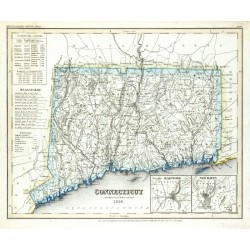
Meyer, Joseph ConnecticutBestell-Nr .: 05841
USA. Connecticut. "Connecticut. Nach den bessten Quellen verbessert. 1852". Orig. steel-engraving. Joseph Meyer, Hildburghausen, 1852. Original old colouring. With the scale of map, explanatory notes, list of statistics and 2 inset charts of the environs of...
2 100,00 KčZu verkaufen -
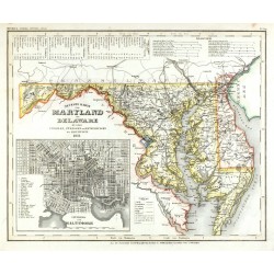
Meyer, Joseph Neueste Karte von Maryland und DelawareBestell-Nr .: 05838
USA. Maryland und Delaware. "Neueste Karte von Maryland und Delaware mit seinen Canaelen, Strassen und Entfernungen der Hauptpunkte. 1851". Orig. steel-engraving. Joseph Meyer, Hildburghausen, 1851. Original old colouring. With the scale of map, explanatory notes, list of...
2 100,00 KčZu verkaufen -
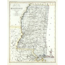
Meyer, Joseph Neueste Karte von MississippiBestell-Nr .: 05808
USA. Mississippi. "Neueste Karte von Mississippi. Entworfen u. gezeichnet von J. Graessel. 1853". Orig. steel-engraving after J. Graessel's map (engraved by E. Biedermann). Joseph Meyer, Hildburghausen, 1853. Original old colouring. With the scale of map....
2 100,00 KčZu verkaufen -
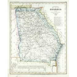
Meyer, Joseph Neueste Karte von GeorgiaBestell-Nr .: 05805
USA. Georgia. "Neueste Karte von Georgia mit seinen Strassen, Eisenbahnen und Entfernungen. 1852". Orig. steel-engraving. Joseph Meyer, Hildburghausen, 1852. Original old colouring. With the scale of map, explanatory notes and the list of steamboat routes....
1 800,00 KčZu verkaufen -
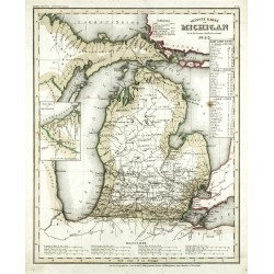
Meyer, Joseph Neueste Karte von MichiganBestell-Nr .: 05799
USA. Michigan. "Neueste Karte von Michigan. Nach den bessten Quellen bearbeiten. 1853". Orig. steel-engraving. Joseph Meyer, Hildburghausen, 1853. Original old colouring. With inset chart of the western part of Michigan on the Superior Lakeside (8,5:6 cm),...
2 100,00 KčZu verkaufen -
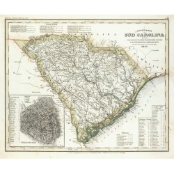
Meyer, Joseph Neueste Karte von Süd CarolinaBestell-Nr .: 05796
USA. South Carolina. "Neueste Karte von Süd Carolina mit seinen Canaelen Strassen Dampfscifff Routen und Entfernungen der Hauptpunkte. Nach den bessten Quellen entworfen und gezeichnet. 1852". Orig. steel-engraving. Joseph Meyer, Hildburghausen, 1852. Original old...
2 100,00 KčZu verkaufen -
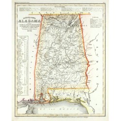
Meyer, Joseph Neueste Karte von AlabamaBestell-Nr .: 05790
USA. Alabama. "Neueste Karte von Alabama mit seinen Canaelen, Stassen, Eisenbahnen, Entfernungen der Hauptpunkte und Routen für Dampfschiffe. Nach den besten Quellen verbessert. 1851". Orig. steel-engraving. Joseph Meyer, Hildburghausen, 1851. Original old...
2 100,00 KčZu verkaufen -
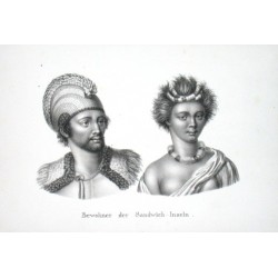
Brodtmann, Carl Joseph Bewohner der Sandwich - InselnBestell-Nr .: 05070
Hawaiiinseln."Bewohner der Sandwich - Inseln". Orig. lithograph by C. J. Brodtmann, printed 1827. 15,5:24,5 cm (the picture only- 23,5:33,5 cm whole leaf).
3 000,00 KčZu verkaufen -
Janssonius, Johannes Venezuela cum parte Australi Novae AndalusiaeBestell-Nr .: 03723
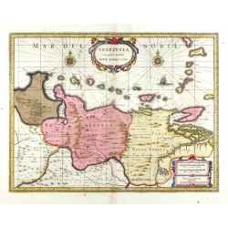
Venezuela. "Venezuela cum parte Australi Novae Andalusiae". Orig. kol. Kupferstich Karte, J. Janssonius, 1630. Bei P. Schenk & G. Valck in Amstredam, ca 1700. Mit ornament. Titelkart., Kart. mit Maßstab der Karte, 2 Windrosen und einem Schiff. 37:48,5 cm.
9 500,00 KčZu verkaufen -
Montanus, Arnoldus Pagus Hispanorum in FloridaBestell-Nr .: 01443
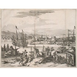
"Pagus Hispanorum in Florida". Copper plate engraving by A. Montanus from his work "Die Nieuwe en Onbekende Weereld ...", published 1671. 26,5:35 cm.
9 500,00 KčZu verkaufen -
Blaeu, Willem Janszoon Venezuela cum parte Australi Novae AndalusiaeBestell-Nr .: 01121
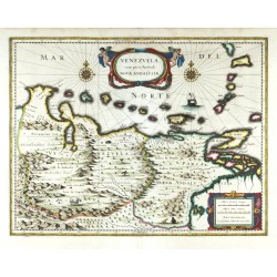
Venezuela. "Venezuela cum parte Australi Novae Andalusiae". Kol. Kupferstich Karte, W. J. Blaeu, 1630. Mit fig. Titelkart., Kart. mit Maßstab der Karte, 2 Windrosen, einem Schiff und einige Tiere in der Karte. 37.5:49 cm.
7 500,00 KčZu verkaufen -
Dilly, C. - Robinson, G. The West Indies According to the best...Bestell-Nr .: 01061
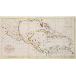
Mittelamerika und Antillen."The West Indies According to the best Authorities". Grenzkol. Kupf.-Kte. von W. Darton bei Dilly & Robinson, London, 1785. Mit ovaler Schriftkart. 28,5:53 cm.
12 000,00 KčZu verkaufen -
Bertius, Petrus America MeridionalisBestell-Nr .: 00978
Südamerika."America Meridionalis". Orig. copper-engraving from P. Bertius' "Tabulae Geographicae ...". Published in Amsterdam by J. Hondius Jr., 1616/18. With ornamental title-cartouche with the scale of map ("Milliaria Germanica"), two ships,...
4 000,00 KčZu verkaufen -
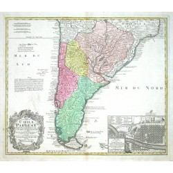
Homann Heirs Typus geographicus Chili a Paraguay, freti...Bestell-Nr .: 00729
Südamerika. "Typus geographicus Chili a Paraguay, freti Magellanici & c.". Orig. copper-engraving published by Homann Heirs, 1733 after G. de l'Isle map of the region. 48,5:57 cm.
8 700,00 KčZu verkaufen -
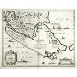
Hondius, Henricus Freti Magellanici ac novi Freti vulgo Le...Bestell-Nr .: 00146
Magellanstraße. "Freti Magellanici ac novi Freti ...". Orig. Kupferstich Karte, H. Hondius, 1630. Mit ornament. Titelkart. 39:50 cm.
12 000,00 KčZu verkaufen -
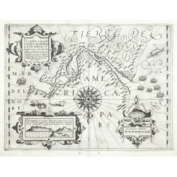
Hondius, Jodocus Exquisita & magno ... Freti Magellanici...Bestell-Nr .: 00145
Magellanstraße. "Exquisita & magno ... Freti Magellanici Facies". Orig. Kupferstich Karte, G. Mercator und J. Hondius, 1606. Bei H. Hondius in Amsterdam, 1630. 35:46 cm.
15 000,00 KčZu verkaufen -
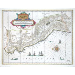
Blaeu, Willem Janszoon PeruBestell-Nr .: 00139
Peru. "Peru". Orig. copper-engraving published by W. Blaeu, ca 1630. Old-colored. With ornamental title cartouche, wind rose, ships and sea-monsters. 38:49,5 cm.
9 000,00 KčZu verkaufen -
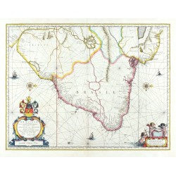
Blaeu, Joan BrasiliaBestell-Nr .: 00131
Brasilien. "Brasilia". Orig. altkol. Kupferstich Karte, J. Blaeu, 1640. Mit dekorative Titelkart. mit einem Wappen und Kart. mit Massstab der Karte mit 3 Putten. 38,5:50 cm.
16 500,00 KčZu verkaufen

