Warenkorb
0
Artikel
Artikel
(Leer)
Keine Artikel
0,00 Kč
Gesamt
Artikel wurde in den Korb gelegt
Menge
Gesamt
Sie haben 0 Artikel in Ihrem Warenkorb.
Es gibt 1 Artikel in Ihrem Warenkorb.
Gesamt Artikel
Gesamt Versandkosten
noch festzulegen
Gesamt
Groningen Es gibt 3 Artikel.
Zeige 1 - 3 von 3 Artikeln
-
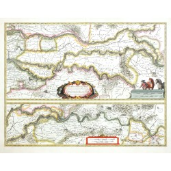
Blaeu, Willem Janszoon Tractus Rheni et Mosae - Rhein, Maas, Waal...Bestell-Nr .: 26535
Rhein, Maas, Waal. "Tractus Rheni et Mosae totusque Vahalis". Orig. altkol. Kupferstich Karte, W. J. Blaeu, 1630. Mit ornament. Titelkartusche und 2 Kart. mit Meilenzeiger. 38,5:50 cm.
5 200,00 KčZu verkaufen -
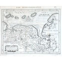
Mercator, Gerardus Groninga DominiumBestell-Nr .: 03822
"Groninga Dominium". Copper-engraving by P. Kaerius according to G. Mercator's map of the region. Published by J. Janssonius in Amsterdam, 1648-51. With ornamental title-cartouche, German title above the map ("Von Groninger-Landt.") and...
2 700,00 KčZu verkaufen -
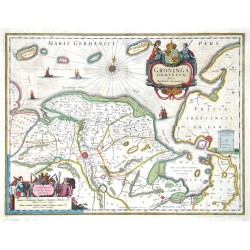
Janssonius, Johannes Groninga DominiumBestell-Nr .: 00008
Groningen. "Groninga Dominium". Orig. copperplate engraving, J. Janssonius, Amsterdam, ca. 1638 after B. Wicheringe's map of region. Orig. old colouring. With figure title cartouche with a coat of arms. 38,5:50,5 cm.
6 500,00 KčZu verkaufen
Zeige 1 - 3 von 3 Artikeln


