Keine Artikel
Russland
Russland Es gibt 33 Artikel.
Unterkategorien
-
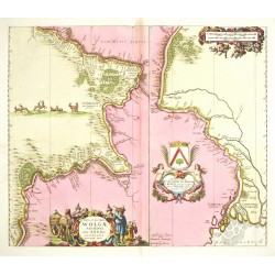
Schenk, Peter & Valck, Gerard (Autor) Olearius, Adam (Andere Autoren) Nova et Accurata Wolgae Fluminis ......Bestell-Nr .: 26446
Wolga. "Nova et Accurata Wolgae Fluminis ... Delineatio". Orig. altkol. Kupferstich Karte nach A. Olearius. Bei Schenk und Valk in Amsterdam, um 1700. Mit fig. Titelkart., Kart. mit Meilenanzeiger und Kart. mit Wappen und Dedikation. 46:54 cm.
21 000,00 KčZu verkaufen -
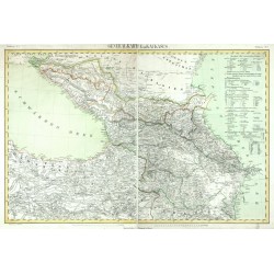
Flemming, Carl (Autor) Handtke, Friedrich (Andere Autoren) Generalkarte vom KaukasusBestell-Nr .: 25706
Kaukasien. "Generalkarte vom Kaukasus". Orig. lithography, C. Flemming, Glogau, ca. 1845. Orig. old colouring. With litho. title above the map and explanatory notes. 41,5:62,5 cm (the map).
2 100,00 KčZu verkaufen -
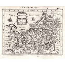
Mercator, Gerardus PrussiaBestell-Nr .: 03831
Preußen. "Prussia". Orig. copperplate engraving after G. Mercator's map of the region. Published by J. Janssonius in Amsterdam, 1648-51. With ornamental title-cartouche and German title above the map. 14,5:19 cm.
1 800,00 KčZu verkaufen -
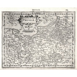
Mercator, Gerardus PrussiaBestell-Nr .: 03837
Preußen. "Prussia". Orig. copperplate engraving after G. Mercator's map of the region. Published by J. Hondius in Amsterdam, 1608. With ornamental title-cartouche, French title above the map ("Prvssie.") and "Miliaria Germanica Co:". 15:19,5 cm.
1 800,00 KčZu verkaufen -
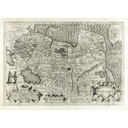
Mercator, Gerardus TartariaBestell-Nr .: 24503
Tartarei. "Tartaria". Orig. copperplate engraving from Mercator - Hondius Atlas, published by H. Hondius in Amsterdam 1630 (first published by J. Hondius, 1606). With ornament. titel cartouche, another 2 cartouches, depiction of the Great Wall of China and several figures in the map. 34:49 cm.
12 500,00 KčZu verkaufen -
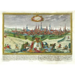
Werner, Friedrich Bernhard (Autor) Ringle, Johann Georg (Andere Autoren) Regius Mons. KönigsbergBestell-Nr .: 24267
Kaliningrad. "Regius Mons. Königsberg". Orig. altkol. Kupferstich nach F. B. Werner. Gestochen von J. G. Ringle (auch Ringlin). Bei M. Engelbrecht in Augsburg, um 1740. Mit ornament. Titelkart., Kart. mit einem Wappen und Erklärungen unter dem Bild. 18:30 cm.
25 000,00 KčZu verkaufen -
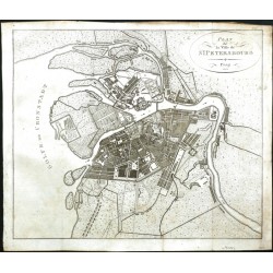
Pluth, C. Plan de la Ville de St. PetersbourgBestell-Nr .: 22842
Sankt Petersburg. "Plan de la Ville de St. Petersbourg". Orig. Kupferstich, C. Pluth, Prag, 1808. Mit oval Titelkartousche. 35:41,5 cm.
5 000,00 KčZu verkaufen -
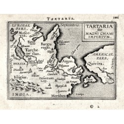
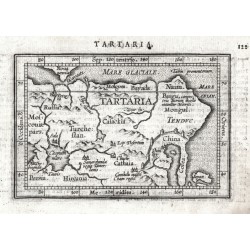
Ortelius, Abraham Tartaria sive Magni Chami ImperiumBestell-Nr .: 14307
Nordostasien. "Tartaria sive Magni Chami Imperivm". Orig. copper-engraving from the French edition of A. Ortelius' Epitome, published in Antwerp by Plantin Press for F. Galle, 1598. With title-cartouche and Latin title above the map. 8:10,5 cm.
4 000,00 KčZu verkaufen -
Ortelius, Abraham Nordostasien - TartariaBestell-Nr .: 09873
Nordostasien - Tartarei. "Tartaria". Orig. copperplate engraving from the Latin edition of A. Ortelius' "Epitome Theatri Orbis Terrarum", published in Antwerp by J. B. Vrienst, 1609. With engraved title in map and Latin heading-title. 8,5:12,5 cm.
2 100,00 KčZu verkaufen -
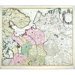
Schenk, Peter & Valck, Gerard Tabula MoscoviaeBestell-Nr .: 22166
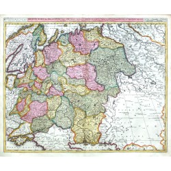
Nordwestrussland. "Tabula Moscoviae". Altkol. Kupf.-Kte., P. Schenk, Amsterdam, ca. 1700. Mit dekorative Titelkart mit einem Wappen. 50:61 cm.
7 000,00 KčZu verkaufen -
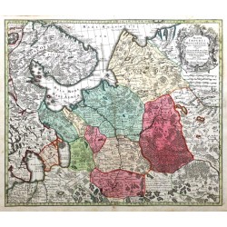
Seutter, Matthäus Mappae Imperii Moscovitici pars...Bestell-Nr .: 22165
Nordwestrussland. "Mappae Imperii Moscovitici pars Septentrionalis". Altkol. Kupf.-Kte. nach G. de l'Isle bei M. Seutter, um 1740. Mit dekorative Titelkart mit einem Wappen. 50:58 cm.
7 000,00 KčZu verkaufen -
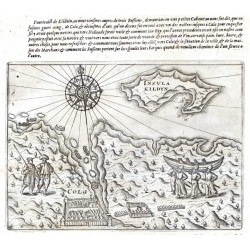
Veer, Gerrit de Insula Kildyn. ColaBestell-Nr .: 21757
Insel Kildin und Hafen Kola (Rußland). "Insula Kildyn. Cola". Orig. copper-engraving from G. de Veer's French edition of 'Diarium Nauticum'. Published by C. Claesz in Amsterdam, 1598. With title in map, a wind-rose, depiction of native people and French comment above the map. 14,5:20,5 cm.
12 000,00 KčZu verkaufen -
Veer, Gerrit de LappiaBestell-Nr .: 21756
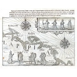
Kola (Halbinsel - Rußland). "Lappia". Orig. copper-engraving from G. de Veer's French edition of 'Diarium Nauticum'. Published by C. Claesz in Amsterdam, 1598. With title in map, 2 wind-roses, ornamental cartouche with depiction of native people, another native people in the map and French comment above the map. 14:20,5 cm.
15 000,00 KčZu verkaufen -
Veer, Gerrit de Caerte van Nova ZemblaBestell-Nr .: 21755
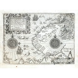
Nowaja Semlja (Rußland). "Caerte van Nova Zembla, de Weygats, de custe van Tartarien ...". Orig. copper-engraving from G. de Veer's French edition of 'Diarium Nauticum'. Published by C. Claesz in Amsterdam, 1598. Engraved by Baptista van Doetecum after G. de Veer's map of the region. With ornamental title-cartouche, 2 wind-roses, the scale of map, 2...
32 000,00 KčZu verkaufen -
Blaeu, Willem Janszoon Tabula RussiaeBestell-Nr .: 21733
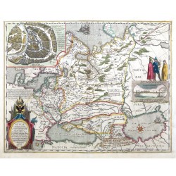
Russland. "Tabula Russiae". Orig. copperplate engraving, W. J. Blaeu, 1634, after H. Gerritsz' map of Russia from 1614. Published by J. and C. Blaeu in Amsterdam, 1640. Orig. old colouring. With decorative title-cartouche, inset plan of Moscow and a cartouche with a view of Arkhangelsk. 43:55 cm.
42 000,00 KčZu verkaufen -
Bry, Johann Theodor de Abriß der Strassen NassauBestell-Nr .: 21602
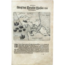
Jugorstraße (Russland). "Abriß der Strassen Nassau, mit aller Gelegenheit". Orig. copper-engraving by J. T. de Bry, published by M. Becker in Frankfurt a. Main, 1599. With German title above the picture. 14:18 cm.
4 500,00 KčZu verkaufen -
Valck, Gerard Russia Alba, sive MoscoviaBestell-Nr .: 20418
Rußland. "Russia Alba, sive Moscovia". Orig. copperplate engraving, G. and L. Valck, Amsterdam, ca. 1700. Original old colouring. With title above the map. 48,5:59 cm.
6 500,00 KčZu verkaufen -
Jenkenson, Anthony Russiae moscouiae et tartariae descriptio...Bestell-Nr .: 20367
"Russiae moscouiae et tartariae descriptio autore Antonio Jenkensono". Orig. copper-engraving by F. Galle after A. Jenkenson's map of the region. From Galle's "Theatri Orbis Terrarum Enchiridion". Published in Antwerp by C. Plantin for F. Galle,...
7 500,00 KčZu verkaufen -
Ortelius, Abraham Russland - RussiaBestell-Nr .: 19890
Russland. "Russia". Orig. copper-engraving from the German edition of A. Ortelius' Epitome ("Außzug auß des ... Ortely Theatro Orbis"). Published by L. Hulsius in Frankfurt am Main, 1604. With ornamental title-cartouche and German title ("Moßkau") above...
2 100,00 KčZu verkaufen -
Bertius, Petrus Novae Zemlae delineatioBestell-Nr .: 19044
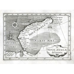
"Novae Zemlae delineatio". Orig. copper-engraving, P. Bertius, 1616. Published by J. Blaeu in Amsterdam, 1637. With ornamental title-cartouche, a ship, sea-creatures and a wind-rose. 9,5:13,5 cm.
3 500,00 KčZu verkaufen -
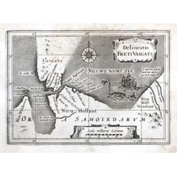
Bertius, Petrus Delineatio Freti VaigatsBestell-Nr .: 19029
"Delineatio Freti Vaigats". Orig. copper-engraving, P. Bertius, 1616. Published by J. Blaeu in Amsterdam, 1637. With ornamental title-cartouche, another ornamental cartouche with the scale of map ("Scala milliariu German."), a ship, a whale and a...
3 500,00 KčZu verkaufen -
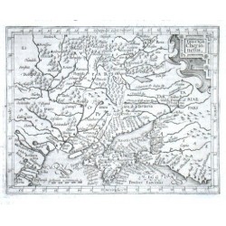
Mercator, Gerardus Taurica ChersonesusBestell-Nr .: 18753
"Taurica Chersonesus". Orig. copper-engraving from the German edition of Mercator's Atlas Minor published in Amsterdam by J. Janssonius, 1648. With ornamental title-cartouche, another ornamental cartouche with the scale of map ("Miliaria...
2 500,00 KčZu verkaufen -
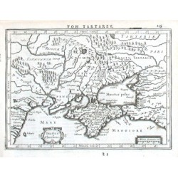
Mercator, Gerardus Taurica ChersonesusBestell-Nr .: 18750
"Taurica Chersonesus". Orig. copper-engraving from Mercator's Atlas Minor published in Amsterdam by J. Hondius, 1613. With ornamental title-cartouche and the scale of map ("Miliaria Germanica Communia"). 13:16,5 cm.
2 400,00 KčZu verkaufen -
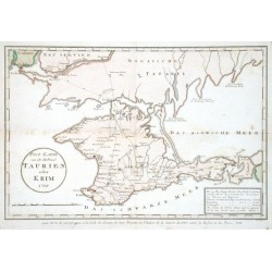
Maire, F. J. Post Karte von der Halbinsel Taurien oder...Bestell-Nr .: 18747
"Post Karte von der Halbinsel Taurien oder Krim (pour Servir de renseignemens a la Carte des Limites des trois Empires ou Theatre de la Guerre de 1787 entre la Russie et les Turcs)". Orig. copper-engraving after F. J. Maire's map of the region....
4 000,00 KčZu verkaufen -
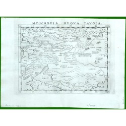
Ruscelli, Girolamo Moschovia Nuova TavolaBestell-Nr .: 17157
Moskau - Zentralrussland. "Moschovia Nuova Tavola". Orig. copper-engraving from G. Ruscelli's edition of Ptolemy's Geography. Published in Venice by G. Ziletti, 1562. With title above the map. 18,5:25 cm.
6 000,00 KčZu verkaufen -
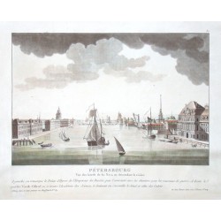
le Coeur, Louis Sankt Petersburg. PetersbourgBestell-Nr .: 16737
"Petersbourg. Vue des bords de la Neva en descendant la riviere". Orig. altkol. Aquatinta von L. le Coeur bei Bance, Paris, um 1800. Mit zahlr. Schiffe im Vordergrund und Fr. Titel unten. 22,5:33,5 cm.
12 000,00 KčZu verkaufen -
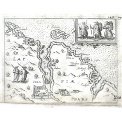
Ortelius, Abraham Kola (Halbinsel) - Lappiae Pars. ColaBestell-Nr .: 14571
Kola (Halbinsel) - Russland. "Lappiae Pars. Cola". Orig. copper-engraving from the German edition of A. Ortelius' Epitome, published in Frankfurt am Main by L. Hulsius (Hulst), 1604. With title in desk, ornamental cartouche with 3 figures, another 2 figures in the map,...
2 700,00 KčZu verkaufen -
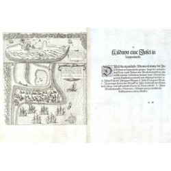
Linschoten, Jan Huygen van Kilduyn eine Insel in LappenlandtBestell-Nr .: 14295
"Kilduyn eine Insel in Lappenlandt" (title on verso). Orig. copper-engraving after details from two of J. H. van Linschoten's maps taken from his account of the three expeditions undertaken by Willem Barents in 1594, 1595 and 1596, in an attempt...
12 000,00 KčZu verkaufen -
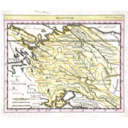
Delisle, Guillaume MoscovieBestell-Nr .: 14148
Westrussland."Moscovie". Orig. copper-engraving. after G. Delisle map. Published in Paris, ca. 1700. Orig. old colouring. With title above the map. 14:17 cm.
2 700,00 KčZu verkaufen -
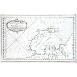
Bellin, Jacques Nicolas Stück von dem Eis-meere welches Neu Zembla...Bestell-Nr .: 11742
"Stück von dem Eis-meere welches Neu Zembla und das Land der Samoieden enthelt". Orig. copper-engraving, J. N. Bellin, dated 1758. Published in Leipzig, ca. 1760. With ornamental title-cartouche. 21,5:34,5 cm.
1 800,00 KčZu verkaufen -
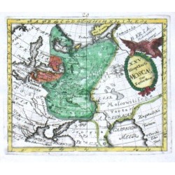
Desing, Anselm XXV. HauptKarte Moscau. Das KeyserthumBestell-Nr .: 09816
"XXV. HauptKarte Moscau. Das Keyserthum". Orig. copper-engraving from A. Desing's Historica Auxilia, published by Ch. Holst in Sulzbach, 1733. Coloured. With decorative title-cartouche with an eagle. 11:13 cm.
1 200,00 KčZu verkaufen -
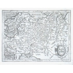
Mercator, Gerardus Russia cum ConfiniisBestell-Nr .: 05703
"Russia cum Confiniis". Orig. copper-engraving from Mercator's Atlas Minor published in Amsterdam by J. Hondius, 1613. With ornamental title-cartouche and another ornamental cartouche with the scale of map ("Miliaria Germanica Comunia"). 14:18,5 cm.
2 500,00 KčZu verkaufen -
Bertius, Petrus RussiaBestell-Nr .: 00957
"Russia". Copper-engraving by P. Bertius published by J. Hondius, 1618. With small ornamental cartouche and the scale of map: "Milliaria Germanica co.". 9,5:13,5 cm.
1 800,00 KčZu verkaufen

