Keine Artikel
Mittelmeer Es gibt 6 Artikel.
-
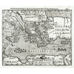
Mercator, Gerardus Aeneae Troiani NavigatioBestell-Nr .: 25527
Östliches Mittelmeer. "Aeneae Troiani Navigatio". Orig. copperplate engraving from Mercator's Atlas Minor. Published by J. Hondius in Amsterdam, 1608. With ornamental title cartouche. 15:19 cm.
2 800,00 KčZu verkaufen -
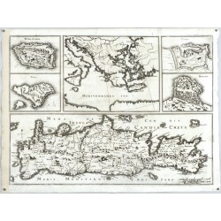
Merian, Matthäus Insula Candia olim CretaBestell-Nr .: 25330
Kreta, Griechenland. "Insula Candia olim Creta" (Titel in der Karte). Orig. Kupferstich Karte, M. Merian, Theatrum Europaeum, Frankfurt am Main, 1672. Mit 5 Nebenkarten. 31:42,5 cm.
6 500,00 KčZu verkaufen -
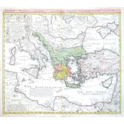
Homann Heirs Imperii Turcici Europaei Terra, in primis...Bestell-Nr .: 02262
Griechenland, Mittelmeer. "Imperii Turcici Europaei Terra, in primis Graecia cum confiniis". Orig. copperplate engraving after J. Ch. Harenberg map of the region. Published by Homann Heirs, 1767. Orig. old colouring. 51:57 cm.
6 200,00 KčZu verkaufen -
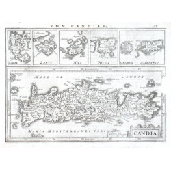
Mercator, Gerardus Candia, Corfu, Zante, Milo, Nicsia,...Bestell-Nr .: 13986
Kreta und die Ägäischen Inseln."Candia, Corfu, Zante, Milo, Nicsia, Santorini, Scarpanto". Orig. copper-engraving from G. Mercator's Atlas Minor. Published in Amsterdam by J. Janssonius, 1648. With German title above the map ("Von Candia,...
4 000,00 KčZu verkaufen -
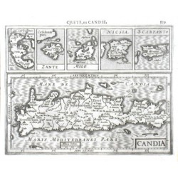
Mercator, Gerardus Candia, I. Corfu, Zante, Milo, Nicsia,...Bestell-Nr .: 13962
Kreta und die Ägäischen Inseln."Candia, I. Corfu, Zante, Milo, Nicsia, Scarpanto". Orig. copper-engraving from G. Mercator's Atlas Minor. Published in Amsterdam by J. Hondius, 1609. With French title above the map ("Crete, ou Candie"), 5...
3 500,00 KčZu verkaufen -
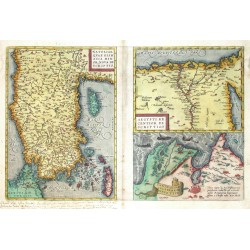
Ortelius, Abraham Natoliae, quae olim Asia Minor, nova...Bestell-Nr .: 04656
Türkei, Zypern, Egypt, Karthago. "Natoliae, quae olim Asia Minor, nova descriptio. Aegypti recentior descriptio. Carthaginis celeberrimi sinus typus". Three maps printed from one plate. Orig. copperplate engraving, A. Ortelius, 1570. Original old colouring. 32:49 cm.
6 200,00 KčZu verkaufen

