Keine Artikel
Afrika Es gibt 16 Artikel.
-
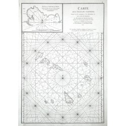
Mannevillette, Jean Baptiste d'Après de (Autor) Delahaye, Guillaume-Nicolas (Andere Autoren) Carte des Isles du Cap-VerdBestell-Nr .: 07032
Kapverdische Inseln. "Carte des Isles du Cap-Verd". Orig. copperplate engraving from J. B. d'Apres de Mannevillette, "Neptune orientale", Paris, 1774. Engraved by G.-N. Delahaye. 48:33,5 cm.
3 800,00 KčZu verkaufen -
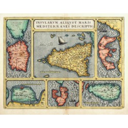
Ortelius, Abraham Insularum aliquot Maris Mediterranei...Bestell-Nr .: 25229
Mittelmeerinseln. "Insularum aliquot Maris Mediterranei descriptio". Orig. altkol. Kupferstich Karte, A. Ortelius, 1570. Mit dekorativer Titelkart.. 36:47,5 cm.
10 500,00 KčZu verkaufen -
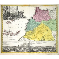
Homann, Johann Baptist Statuum Maroccanorum RegnorumBestell-Nr .: 00437
Marokko und Kanarische Inseln. "Statuum Maroccanorum Regnorum". Altkol. Kupf.-Kte., J. B. Homann, 1728. Mit gr. fig. Kart. und 2 Ansichten (von Marrakesch und Méknes; je 11:27 cm) unten und Insetkarte von Madeira links. 48,5:56 cm.
6 500,00 KčZu verkaufen -
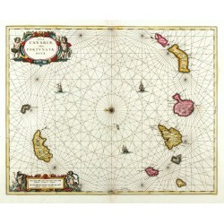
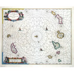
Janssonius, Johannes Insulae Canariae, olim Fortunatae DictaeBestell-Nr .: 24183
Kanarische Inseln, Madeira. "Insulae Canariae, olim Fortunatae Dictae". Orig. copperplate engraving. Published by Schenk & Valk, Amsterdam, ca. 1690. Orig. old colouring. With figure title-cartouche and a cartouche with the scale of map. 42,5:53 cm.
13 000,00 KčZu verkaufen -
Janssonius, Johannes Insulae Canariae, olim Fortunatae DictaeBestell-Nr .: 00710
Kanarische Inseln, Madeira. "Insulae Canariae, olim Fortunatae Dictae". Altkol. Kupferstich Karte, J. Janssonius, Amsterdam, 1656. Mit zwei ausgem. fig. Kart., Windrose u. Segelschiffsstaffage. 42,5:53 cm.
12 500,00 KčZu verkaufen -
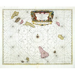
Janssonius, Johannes Insulae de Cabo Verde olim Hesperides,...Bestell-Nr .: 00386
Kapverdische Inseln. "Insulae de Cabo Verde olim Hesperides, sive Gorgades: Belgice de Zoute Eylanden". Altkol. Kupf.-Kte. von J. Janssonius bei G. Valk & P. Schenk, um 1700. Mit gr. ornament. Titelkart. mit Meilenanzeiger. 43:54,5 cm.
9 000,00 KčZu verkaufen -
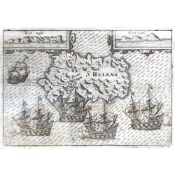
Lodewijcksz, Willem S HelenaBestell-Nr .: 21760
St. Helena (Insel). "S Helena". Orig. copper-engraving from W. Lodewijcksz's (also Lodewycksz) "Premier Livre de l'Histoire de la Navigation aux Indes Orientales". Published by C. Clesz in Amsterdam, 1598. With engraved title in map. 14,5:21 cm.
10 000,00 KčZu verkaufen -
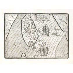
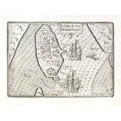
Keere, Pieter van den (Petrus Kaerius) Insulae & Ars MosambiqueBestell-Nr .: 18597
Mosambikinsel."Insulae & Ars Mosambique". Orig. copper-engraving by P. Kaerius. Published by C. J. Visscher in Amsterdam, 1649 (in Tabulae Geographicae Contrare). With ornamental title-cartouche, 2 ships and a boat. 9:12,5 cm.
2 100,00 KčZu verkaufen -
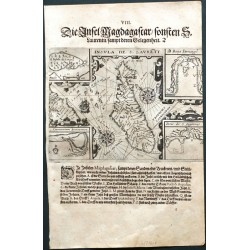
Bry, Johann Theodor de Insula de S. LaurentiiBestell-Nr .: 21606
Madagaskar. "Insula de S. Laurentii". Orig. copperplate engraving, J. T. de Bry after J. H. van Linschoten's map of the region. Published by M. Becker in Frankfurt a. Main, 1599. With German title above the map. 14:19,5 cm.
4 800,00 KčZu verkaufen -
Bry, Johann Theodor de Insulae et arcis Mocambique ... Egentliche...Bestell-Nr .: 21599
Mosambikinsel. "Insulae et arcis Mocambique deschriptio ad fines Melinde sitae ... Egentliche suhrbildung der Insel Sampt dem Schloss Mosambique So da liget am gestaden Melinde mit dern gelegenheit". Orig. copper-engraving by J. T. de Bry based on J. H. van Linschoten's travels to the Far East. Published by M. Becker in Frankfurt a. Main, 1613.
6 500,00 KčZu verkaufen -
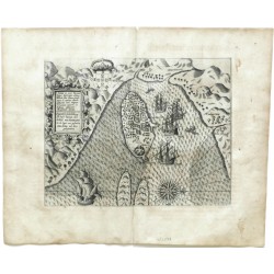
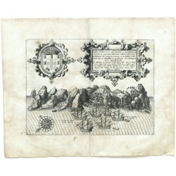
Bry, Johann Theodor de Insula D. Helenae sacra ... S. Helena ist...Bestell-Nr .: 21598
St. Helena (Insel). "Insula D. Helenae sacra ... S. Helena ist eine Insel ...". Orig. copper-engraving by J. T. de Bry, published by M. Becker in Frankfurt a. Main, 1613. With ornamental title cartouche with Lat.-Ger. title, a coat-of-arms, a wind-rose and many ships in the foreground. 21,5:29 cm.
8 500,00 KčZu verkaufen -
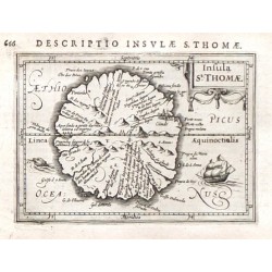
Bertius, Petrus Insulae St. ThomaeBestell-Nr .: 19548
St. Thomas (Golf von Guinea)."Insulae St. Thomae". Orig. copper-engraving, P. Bertius, 1616. Published by J. Hondius Jr. in Amsterdam, 1616/18. With lat. title above the map ("Descriptio Insulae S. Thomae"), ornamental title-cartouche, a ship, a...
3 000,00 KčZu verkaufen -
Keere, Pieter van den (Petrus Kaerius) Insulae & Ars MosambiqueBestell-Nr .: 18594
Mosambikinsel (Mosambik)."Insulae & Ars Mosambique". Orig. copper-engraving by P. Kaerius. Published by C. J. Visscher in Amsterdam, 1649 (in Tabulae Geographicae Contrare). With ornamental title-cartouche, 2 ships and a boat. 9:12,5 cm.
2 100,00 KčZu verkaufen -
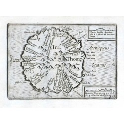
Visscher, Claes Jansz. Ins. Sti. ThomeBestell-Nr .: 18567
St. Thomas (Golf von Guinea)."Ins. Sti. Thome". Orig. copper-engraving. Published by C. J. Visscher in Amsterdam, 1649 (in Tabulae Geographicae Contrare). With title in map and 2 inset views: "Facies Insulae Annobon ..." (2:3,5 cm) and "Facies...
2 400,00 KčZu verkaufen -
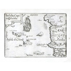
Visscher, Claes Jansz. Insulae Capitis ViridisBestell-Nr .: 18525
Kapverdische Inseln."Insulae Capitis Viridis". Orig. copper-engraving. Published by C. J. Visscher in Amsterdam, 1649 (in Tabulae Geographicae Contrare). With ornamental title-cartouche, a ship and a sea-creature. 9:12,5 cm.
2 100,00 KčZu verkaufen -
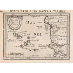
Bertius, Petrus Insulae Capitis ViridisBestell-Nr .: 17589
Kapverdische Inseln."Insulae Capitis Viridis". Copper-engraving by P. Bertius published by J. Hondius, 1616-18. With small ornamental cartouche and "Milliaria Germanica". 9,2:13 cm.
1 500,00 KčZu verkaufen

