Keine Artikel
Nordafrika Es gibt 16 Artikel.
-
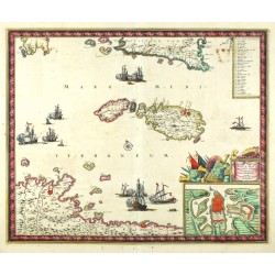
Wit, Frederik de Insula Malta accuratisime Delineata...Bestell-Nr .: 25347
Malta, Gozo, Comino. "Insula Malta accuratisime Delineata Urbibus, et Fortalitiis expressa". Orig. copperplate engraving, F. de Wit, ca. 1680. Original old colouring. With decorative title cartouche with inset plan of Valetta. 44,5:54 cm.
30 000,00 KčZu verkaufen -
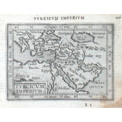
Ortelius, Abraham Osmanische Reich - Turcicum ImperiumBestell-Nr .: 15993
Türkisches Imperium. "Turcicum Imperium". Orig. copper-engraving from the Latin edition of A. Ortelius' Epitome. Published by J. B. Vrients in Antwerp, 1609. With ornamental title-cartouche and Latin title above the map. 9:12 cm.
2 500,00 KčZu verkaufen -
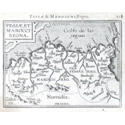
Ortelius, Abraham Fessae, et Marocci RegnaBestell-Nr .: 14352
Marokko. "Fessae, et Marocci Regna". Orig. copper-engraving from the French edition of A. Ortelius' Epitome, published in Antwerp by Plantin Press for F. Galle, 1598. With ornamental title-cartouche and Latin title ("Fessae & Marocchi Regna")...
1 800,00 KčZu verkaufen -
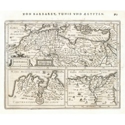
Mercator, Gerardus BarbariaBestell-Nr .: 21647
Nordafrika. "Barbaria". Orig. copper-engraving from Mercator's Atlas Minor. Published in Amsterdam by J. Janssonius, 1648-51. 14,5:19 cm.
2 400,00 KčZu verkaufen -
Mela, Pomponius MauritaniaBestell-Nr .: 21646
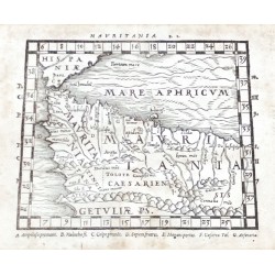
Nordwestafrika (Marokko, Algerien). "Mauritania" (title above the map). Orig. woodcut from P. Mela's "De Orbis Situ Libri tres". Published by Henric Perti in Basel, 1564. 12,5:16 cm.
2 000,00 KčZu verkaufen -
Mela, Pomponius (Autor) Ptolemy, Claudius (Andere Autoren) AfricaBestell-Nr .: 21645
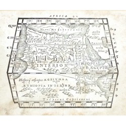
Nordafrika. "Africa" (title above the map) - "Lybia Interior" (title in map). Orig. woodcut from P. Mela's "De Orbis Situ Libri tres". Published by Henric Perti in Basel, 1564. 12,5:15,5 cm.
2 500,00 KčZu verkaufen -
Mercator, Gerardus Fessae RegnumBestell-Nr .: 21635
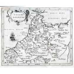
Marokko. "Fessae Regnum". Orig. copper-engraving from G. Mercator's Atlas Minor. Published in Amsterdam by J. Hondius, C. Claesz. and J, Jansz., 1607. With ornamental title-cartouche and a ship. 15,5:19 cm.
1 800,00 KčZu verkaufen -
Mercator, Gerardus BarbariaBestell-Nr .: 21628
Nordafrika. "Barbaria". Orig. copper-engraving from Mercator's Atlas Minor. Published in Amsterdam by J. Janssonius, 1630. 14:18,5 cm.
2 400,00 KčZu verkaufen -
Ruscelli, Girolamo (Autor) Ptolemy, Claudius (Andere Autoren) Tabula Aphricae IBestell-Nr .: 17208
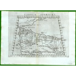
Nordwestafrika. "Tabula Aphricae I". Orig. copper-engraving from G. Ruscelli's edition of Ptolemy's Geography. Published in Venice by G. Ziletti, 1562. With title above the map. 18,5:25 cm.
2 500,00 KčZu verkaufen -
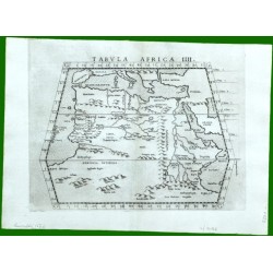
Ruscelli, Girolamo (Autor) Ptolemy, Claudius (Andere Autoren) Tabula Africae IIIIBestell-Nr .: 17166
Nordafrika. "Tabula Africae IIII". Orig. copper-engraving from G. Ruscelli's edition of Ptolemy's Geography. Published in Venice by G. Ziletti, 1562. With title above the map. 19:25 cm.
2 500,00 KčZu verkaufen -
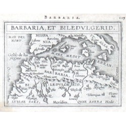
Ortelius, Abraham Afrika - Barbaria, et BiledulgeridBestell-Nr .: 14391
Nordwestafrika. "Barbaria, et Biledvlgerid". Orig. copper-engraving from the French edition of A. Ortelius' Epitome, published in Antwerp by Plantin Press for F. Galle, 1598. With title-cartouche and Latin title above the map. 8:10,5 cm.
2 000,00 KčZu verkaufen -
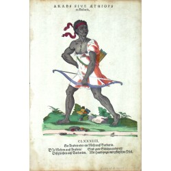
Amman, Jost Arabs sive Aethiops ex BarbariaBestell-Nr .: 06678
Amman, Jost (1539-1591). Nordafrika. "Arabs sive Aethiops ex Barbaria. Ein Arabier oder ein Mohr auß Barbaria". Orig. Holzschnitt, J. Amman aus seinem "Habitus praecipuorum populorum ... Trachtenbuch ...". Bei H. Weigel, Nürnberg, 1577. EA. 30,5:20 cm.
4 000,00 KčZu verkaufen -
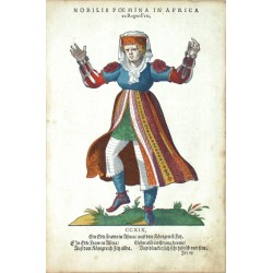
Amman, Jost Nobilis Foemina in Africa ex Regno FetzBestell-Nr .: 06630
Amman, Jost (1539-1591). Nordafrika. "Nobilis Foemina in Africa ex Regno Fetz. Ein Edle Frawe in Africa auß dem Koenigreich Fetz". Orig. Holzschnitt, J. Amman aus seinem "Habitus praecipuorum populorum ... Trachtenbuch ...". Bei H. Weigel, Nürnberg, 1577. EA. 30,5:20 cm.
4 000,00 KčZu verkaufen -
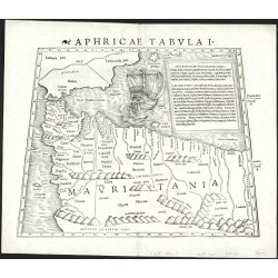
Münster, Sebastian Aphricae tabula IBestell-Nr .: 00428
Nordafrika. "Aphricae Tabula I". Orig. woodblock from the first edition of S. Münster's Geographia. Published by Henricus Petrus in Basel, 1540. With latin title above the map, a cartouche and depiction of a ship. 25,5:33 cm.
9 000,00 KčZu verkaufen -
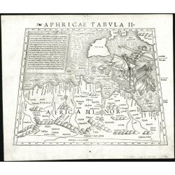
Münster, Sebastian Aphricae Tabula IIBestell-Nr .: 00427
Nordafrika. "Aphricae Tabula II". Orig. woodblock from the first edition of S. Münster's Geographia. Published by Henricus Petrus in Basel, 1540. With latin title above the map, a cartouche and a depiction of the Apostle Paul's shipwreck near Malta. 25,5:33,5 cm.
10 000,00 KčZu verkaufen -
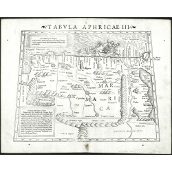
Münster, Sebastian Tabula Aphricae IIIBestell-Nr .: 00426
Nordostafrika (Ägypten). "Tabula Aphricae III". Orig. woodblock from the S. Münster's Geographia. Published by Henricus Petrus in Basel, 1542. With latin title above the map, 2 cartouches and a depiction of a sea monster devouring a sailor. 25,5:34 cm.
8 000,00 KčZu verkaufen

