Keine Artikel
Alte Landkarten und Stadtansichten
- Afrika
- Amerika
- Asien und Australien
- Atlases
-
Europa
-
Belgien, Niederlande, Luxemburg
- Amsterdam
- Antwerpen
- Belgien und Luxemburg
- Bergen op Zoom
- Blokzijl
- Bommenede
- Brabant
- Brugge
- Brüssel
- Charleroi
- Delft
- Den Haag
- Dinant
- Dordrecht
- Elburg
- Flandern
- Fort Rammekens
- Friesland
- Friesland und Groningen
- Gelderland
- Geraardsbergen
- Grave
- Groningen
- Hainaut
- Harderwijk
- Harlingen
- Holland
- Hulst
- Huy
- Kortryk
- Lier
- Limbourg
- Limburg
- Löwen
- Lüttich
- Luxemburg
- Maastricht
- Mechelen
- Middelburg
- Mons
- Namur
- Niederlande
- Niederlande und Belgien
- Nijmegen
- Ostende
- Overijssel
- Rotterdam
- Spa
- Stavoren
- Tiel
- Utrecht
- Veere
- Veurne
- Ypern
- Zaltbommel
- Zeeland
- Zieriksee
- Zierikzee
- Zutphen
- Zype
-
Böhmen, Mähren und Schlesien
- Arnau
- Beraun
- Böhmen
- Böhmen, Mähren und Schlesien
- Brandýs nad Labem
- Branná (okr. Šumperk)
- Břeclav
- Brněnsko a Uherskohardišťsko
- Brodce (okr. Mladá Boleslav)
- Brünn
- Budweis
- Bürglitz
- Čelákovice
- Cheb
- Chlumec nad Cidlinou
- Chomutov
- Děčín
- Dolní Olešnice - Nové Zámky
- Dvůr Králové nad Labem
- Friedrichsthal
- Herrnskretschen
- Hohenelbe
- Hradec Králové
- Jáchymov
- Jaromirsch
- Jihlava
- Jižní Čechy
- Kamaick
- Karlsbad
- Karlstein
- Kolín
- Kostelec nad Labem
- Krkonoše
- Kuks
- Kunětická Hora
- Kuttenberg
- Laun
- Lednice
- Libochovany
- Litoměřice
- Loket
- Lysá nad Labem
- Mähren
- Marienbad
- Melnik
- Mladá Boleslav
- Mladoboleslavsko
- Náchod
- Nimburg
- Okoř
- Olmütz
- Olomoucko
- Ostrov nad Ohří
- Pardubice
- Plzeň
- Podiebrad
- Polná
- Prácheňsko
- Prag
- Praha a okolí
- Przelautsch
- Rabí
- Rakovnicko
- Rakovník
- Roudnice nad Labem
- Rožmberk
- Rožnov pod Radhoštěm
- Schlan
- Schwamberg
- Sedlec
- Smečna
- Smirschitz
- Šumava
- Tábor
- Teplice
- Theresienstadt
- Třeboň
- Týnec nad Labem
- Uničov
- Vinec
- Vrabinec
- Vyšší Brod
- Zákupy
- Žampach (zámek)
- Žatec
- Žireč
- Žleb
- Zvíkov
-
Deutschland
-
Baden-Württemberg
- Bad Teinach-Zavelstein
- Balingen
- Biberach an der Riß
- Böblingen
- Bodensee
- Breisgau
- Calw
- Dornhan
- Esslingen
- Geislingen an der Steige
- Grafschaft Limpurg
- Heidelberg
- Heilbronn
- Hohenlohe
- Karlsruhe
- Konstanz
- Mannheim
- Möckmühl
- Nagold
- Neuenbürg
- Nord-Württemberg
- Oberschwaben
- Offenburg
- Pforzheim
- Reutlingen
- Rheinpfalz
- Schwabenl
- Schwäbisch Gmünd
- Schwäbisch Hall
- Singen
- St. Blasien
- Stuttgart
- Tübingen
- Ulm
- Vaihingen a. d. Enz
- Wangen im Allgäu
- Weinheim
- Württemberg
-
Bayern
- Aschaffenburg
- Augsburg
- Aurach
- Bad Abbach
- Bamberg
- Bogenberg (Wallfahrtskirche)
- Cham
- Coburg
- Donauwörth
- Eichstätt
- Forchheim
- Franken
- Freising
- Friedberg (Schwaben)
- Füssen
- Gräfenberg (Oberfranken)
- Höchstädt an der Donau
- Ingolstadt
- Kelheim
- Kempten
- Lauingen
- Lenggries
- Lindau
- Memmingen
- Mindelheim
- Mühldorf am Inn
- München
- Nabburg
- Natternberg (Schloss)
- Neuburg an der Donau
- Neumarkt in der Oberpfalz
- Neuötting
- Neustadt an der Donau
- Nördlingen
- Nürnberg
- Oberpfalz
- Pappenheim
- Passau
- Pfaffenhofen
- Pöttmes
- Rain am Lech
- Regensburg
- Saal an der Donau
- Schongau
- Schrobenhausen
- Straubing
- Thurnau
- Velden
- Vilshofen an der Donau
- Wackerstein
- Wasserburg am Inn
- Weilheim / links Polling
- Weissenburg in Bayern
- Weltenburg
- Würzburg
- Berlin
- Brandenburg
- Bremen
- Hamburg
- Hessen
- Mecklenburg-Vorpommern/Pommern
-
Niedersachsen
- Aurich
- Bad Bentheim
- Bad Gandersheim
- Bodenwerder
- Braunschweig
- Braunschweig-Lüneburg
- Celle
- Cuxhaven
- Emden
- Hann. Münden
- Hannover
- Hildesheim
- Hoya
- Liebenau an der Weser
- Lüneburg
- Niedersächsischer Kreis
- Nienburg a. d. Weser
- Oldenburg
- Osnabrück
- Osterode
- Osterwieck
- Ostfriesland
- Schnackenburg
- Schöppenstedt
- Stolzenau
- Walsrode
- Winsen an der Luhe
- Wolfenbüttel
- Norddeutschland
- Nordrhein-Westfalen
- Rheinland-Pfalz
-
Sachsen
- Baruth bei Bautzen
- Bernstadt auf dem Eigen
- Brauna (Schönteichen)
- Bretnig-Hauswalde
- Burkau
- Burkersdorf (Schlegel)
- Cosel (Schwepnitz)
- Dresden
- Ebersbach
- Frankenthal
- Friedersdorf an der Spree
- Gersdorf (Haselbachtal)
- Grimma
- Großpostwitz
- Großschönau
- Herrnhut
- Hirschfelde (Zittau)
- Kamenz
- Kemnitz (Bernstadt auf dem Eigen)
- Klix (Großdubrau)
- Königsbrück
- Kottmarsdorf
- Leipzig
- Leuba (Ostritz)
- Meißen
- Neukirch (bei Königsbrück)
- Neukirch/Lausitz
- Niedercunnersdorf
- Nostitz (Weißenberg)
- Ober Lausitz
- Oberseifersdorf
- Oschatz
- Ostritz
- Ostro (Panschwitz-Kuckau)
- Plauen
- Pulsnitz
- Purschwitz
- Rammenau
- Reichenau (bei Königsbrück)
- Sachsen-Thüringen-Anhalt
- Schönau-Berzdorf auf dem Eigen
- Schönburg
- Schwazenberg-Wolkenstein-Grünhain
- Schwepnitz
- Spitzkunnersdorf
- Spreedorf (Ebersbach)
- Taubenheim/Spree
- Torgau
- Wurzen
- Sachsen-Anhalt
- Schleswig-Holstein
- Thüringen
-
Baden-Württemberg
- Donau
- Europa (Kontinent)
-
Frankreich
- Albi
- Anjou
- Artois
- Bar-le-Duc
- Berry
- Blois
- Bourbourg
- Bresse
- Burgund-Freigrafschaft
- Cambrai
- Cassel
- Château de Lichtenberg
- Chaumont
- Compiegne und Noyon
- Dauphiné
- Département Tarn
- Elsass
- Gascogne
- Gâstinais and Senonais
- Gravelines
- Hauts-de-France
- Ile de France
- Korsika
- La Bassée - Hesdin
- Languedoc
- Lille
- Limoges
- Lothringen
- Lyon
- Maine
- Marseille
- Metz
- Montmélian
- Mülhausen
- Nancy
- Nice
- Normandie
- Paris
- Perche
- Picardie
- Poitou
- Provence
- Quercy
- Re und Oleron
- Reims - Rethel
- Saint-Omer
- Saintonge und Aunis
- Savoyen
- Strassburg
- Vexin
- Griechenland, Mittelmeer
-
Grossbritannien und Irland
- Bedford und Buckinghamshire
- Berkshire und Hampshire
- Cambridgeshire
- Cheshire
- Cornwall
- Cumberland
- Denbigh und Flint
- Derbyshire
- Devon
- Dorset
- Durham (Grafschaft)
- England
- Essex
- Gloucestershire
- Großbritannien und Irland
- Herefordshire
- Hertfordshire
- Hertfordshire and Middlesex
- Huntingdonshire
- Irland
- Isle of Man
- Isle of Wight
- Kent
- Lancashire
- Leicestershire
- Lincolnshire
- London
- Middlesex
- Nordengland
- Nordostengland
- Nordwestengland
- Norfolk
- Northampton
- Northumberland
- Nottinghamshire
- Oxfordshire
- Schottland
- Shropshire und Staffordshire
- Somerset
- Staffordshire
- Südostengland
- Südwestengland
- Surrey
- Sussex
- Wales
- Westmorland
- Wiltshire
- Worcestershire und Warwickshire
- Yorkshire
-
Italien
- Abruzzen
- Ancona
- Apulien (Puglia)
- Arcevia
- Bari und Basilikata
- Belluno und Feltre
- Bergamo
- Bologna
- Brescia
- Brescia und Crema
- Cadore
- Cagliari
- Caiazzo
- Capitanata
- Carmagnola
- Catania
- Civitavecchia
- Crema
- Cremona
- Cuneo
- Elba
- Emilia Romagna
- Faenza
- Fano
- Ferrara
- Florenz
- Fondi
- Friaul
- Gaeta
- Gallipoli
- Genua
- Ischia
- Italien
- Kalabrien
- Kampanien
- Lazio
- Lerici
- Ligurien (Italienische Riviera)
- Livorno
- Lombardei
- Loreto
- Lucca
- Mailand
- Mantua
- Mantua
- Marche (Ancona)
- Meran
- Messina
- Mirandola
- Mittelitalien
- Modena
- Molise
- Monferrato
- Neapel
- Netuno
- Nocera Umbra
- Norditalien
- Orvieto
- Orvieto und Loreto
- Otranto
- Padua
- Palermo
- Parma
- Pavia
- Perugia
- Pesaro
- Piacenza
- Piemont
- Pinerolo
- Piombino
- Pisa
- Po
- Pozzuoli
- Reggio di Calabria
- Reggio Emilia
- Rimini
- Rom
- Rovigo
- San Marino
- Sardinien
- Siena
- Sizilien
- Sizilien und Malta
- Sizilien und Sardinien
- Spoleto
- Süditalien
- Sulmona
- Taranto
- Terracina
- Tirol
- Tivoli
- Tortona
- Toskana
- Trapani
- Trentino
- Trentino-Alto Adige / Südtirol
- Treviso
- Turin
- Udine
- Umbria
- Urbino
- Velletri
- Venedig
- Vercelli
- Verona
- Vicenza
- Viterbo
- Labe
- Mitteleuropa
- Mittelmeer
- Monaco
- Nordeuropa
- Österreich
- Polen, Schlesien, Rußland, Blatikum
- Rhein
- Schweiz
- Skandinavien und Island
- Spanien und Portugal
- Südost- und Osteuropa, Balkan
-
Belgien, Niederlande, Luxemburg
- Inseln (Sonderkatalog)
- Welt, Ozeane, Pole und Sternbildkarten
Alte Landkarten und Stadtansichten Es gibt 2221 Artikel.
Unterkategorien
-
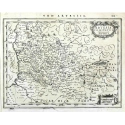
Janssonius, Johannes Artesia, Comitatus. ArtoisBestell-Nr .: 20886
Artois (Francie). "Artesia, Comitatus. Artois". Orig. Kupf.-Kte., J. Janssonius, Amsterdam, 1648-51. Mit ornament. Titelkart., andere Kart. mit Meillenanzeiger ("Milliaria German. Milliaria Gallica") und dt. Titel ("Von Artessia") oben. 16:21 cm.
1 200,00 KčZu verkaufen -
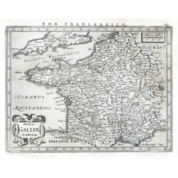
Janssonius, Johannes Nova Galliae TabulaeBestell-Nr .: 20883
Frankreich. "Nova Galliae Tabulae". Orig. Kupf.-Kte. bei J. Janssonius, Amsterdam, 1648-51. Mit ornament. Titelkart., andere Kart. mit Meillenanzeiger ("Milliaria Gallica") und dt. Titel ("Von Franckreich") oben. 14,5:19,5 cm.
1 800,00 KčZu verkaufen -
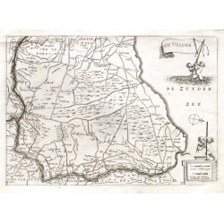
Colom, Jacob Aertsz. De VelvweBestell-Nr .: 20820
Veluwe."De Veluwe". Orig. copper-engraving by J. A. Colom, ca. 1635. Published by D. de La Feuille in his "Atlas Portatif", Amsterdam, 1702. With title-cartouche held by 2 cherubs and another cartouche with the scale of map and a cherub. 16:22,5 cm.
900,00 KčZu verkaufen -
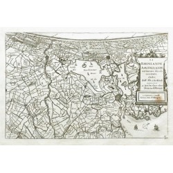
Colom, Jacob Aertsz. La Rhinlande Amstellande et Terres...Bestell-Nr .: 20814
"La Rhinlande Amstellande et Terres Circouosines". Orig. copper-engraving by J. A. Colom, ca. 1635, after B. F. van Berckenrode's map of the region. Published by D. de La Feuille in his "Atlas Portatif", Amsterdam, 1702. With decortive...
1 500,00 KčZu verkaufen -
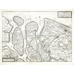
Colom, Jacob Aertsz. Table de Delflande, Schielande, et Isles...Bestell-Nr .: 20811
"Table de Delflande, Schielande, et Isles de Voorn Ouerflacke Goeree Iselm. etc.". Orig. copper-engraving by J. A. Colom, ca. 1635. Published by D. de La Feuille in his "Atlas Portatif", Amsterdam, 1702. With title-cartouche, another cartouche...
1 500,00 KčZu verkaufen -
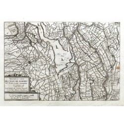
Colom, Jacob Aertsz. Novvelle Table Des Isles de Dordrecht....Bestell-Nr .: 20808
"Nouvelle Table Des Isles de Dordrecht. Alblasser. Crimper. Clundert etc: Cimprennant außi Les terres de Viane Goricu: Leerdam Altena Heusden etc.". Orig. copper-engraving by J. A. Colom, ca. 1635. Published by D. de La Feuille in his "Atlas...
1 200,00 KčZu verkaufen -
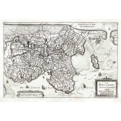
Colom, Jacob Aertsz. La Hollande SeptentrionaleBestell-Nr .: 20805
"La Hollande Septentrionale autrem: West-Frise". Orig. copper-engraving by J. A. Colom, ca. 1635, after B. F. van Berckenrode's map of the region. Published by D. de La Feuille in his "Atlas Portatif", Amsterdam, 1702. With decortive...
1 200,00 KčZu verkaufen -
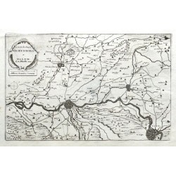
Colom, Jacob Aertsz. Comitatus Valkenborg et DalemBestell-Nr .: 20802
"Comitatus Valkenborg et Dalem". Orig. copper-engraving by J. A. Colom, ca. 1635. Published by D. de La Feuille in his "Atlas Portatif", Amsterdam, 1702. With decortive title-cartouche with the scale of map. 15:23 cm.
900,00 KčZu verkaufen -
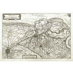
Colom, Jacob Aertsz. Partie de la Flandre OrientaleBestell-Nr .: 20799
Ostflandern."Partie de la Flandre Orientale". Orig. copper-engraving by J. A. Colom, ca. 1635. Published by D. de La Feuille in his "Atlas Portatif", Amsterdam, 1702. With decortive title-cartouche and a cartouche with the scale of map. 15,5:23,5 cm.
900,00 KčZu verkaufen -
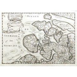
Colom, Jacob Aertsz. Zelandia ComitatusBestell-Nr .: 20796
"Zelandia Comitatus". Orig. copper-engraving by J. A. Colom, ca. 1635. Published by D. de La Feuille in his "Atlas Portatif", Amsterdam, 1702. With decortive title-cartouche with 2 cherubs and the scale of map. 16,5:23 cm.
2 100,00 KčZu verkaufen -
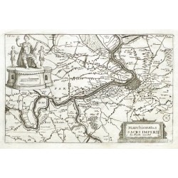
Colom, Jacob Aertsz. Marchionatus Sacri ImperiiBestell-Nr .: 20793
"Marchionatus Sacri Imperii". Orig. copper-engraving by J. A. Colom, ca. 1635. Published by D. de La Feuille in his "Atlas Portatif", Amsterdam, 1702. With decortive title-cartouche and a cartouche with the scale of map and 3 figures. 15:23,5 cm.
1 200,00 KčZu verkaufen -
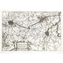
Colom, Jacob Aertsz. Mechliniae DominiumBestell-Nr .: 20790
"Mechliniae Dominium". Orig. copper-engraving by J. A. Colom, ca. 1635. Published by D. de La Feuille in his "Atlas Portatif", Amsterdam, 1702. With decortive title-cartouche with 2 cherubs and the scale of map. 15:23 cm.
1 200,00 KčZu verkaufen -
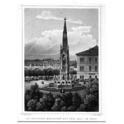
Würbs, Karel Das Franzens Monument auf dem Quai in PragBestell-Nr .: 20733
Prag. Kranner Brunnen. "Das Franzens Monument auf dem Quai in Prag". Pův. oceloryt, podle C. Würbsovy kresby ryl L. Oeder. Vyd. G. G. Lange v Darmstadtu, 1842. S Karlovým mostem v pozadí a něm. titulem pod obrázkem. 15,5:11,5 cm (obrázek).
1 800,00 KčZu verkaufen -
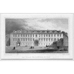
Poppel, Johann (Autor) Lange, Ludwig (Andere Autoren) Das Palais Wallensteine in PragBestell-Nr .: 20715
Valdštejnský palác. "Das Palais Wallensteins in Prag". Pův. oceloryt podle L. Langeho. Ryl J. G. F. Poppel, vydal G. G. Lange v Darmstadtu, ca. 1840. S něm. titulem pod obrázkem. 9,5:17 cm (obrázek).
750,00 KčZu verkaufen -
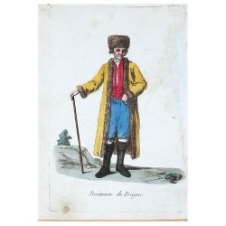
Grasset de Saint-Sauveur, Jacques Boémien de PragueBestell-Nr .: 20703
Grasset de Saint-Sauveur, Jacques (1757-1810)."Boémien de Prague". Pův., staře kolorovaný lept. Paříž: Deroy, 1796. 18:12 cm.
1 800,00 KčZu verkaufen -
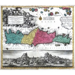
Lotter, Tobias Conrad Insula Creta nunc CandiaBestell-Nr .: 20679
Kreta. "Insula Creta nunc Candia ... cum ... Aegei maris Insulis inprimis Nova Santorini Insula". Orig. copper-engraving, T. C. Lotter, Augsburg, ca. 1750. Orig. old colouring. With great figure title-cartouche with a coat-of-arms, ornamental cartouche...
10 500,00 KčZu verkaufen -
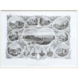
Souvenir de TeplitzBestell-Nr .: 20640
"Souvenir de Teplitz". Pův. oceloryt, (vyd. B. Dorndorf, Frankfurt nad Mohanem, ca. 1850). Celkový pohled na Teplice obklopený florální bordurou s 12 pohledy na teplické pamětihodnosti. 14,5:21 cm.
1 500,00 KčZu verkaufen -
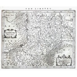
Keere, Pieter van den (Petrus Kaerius) Limburg DucatusBestell-Nr .: 20595
Limburg. "Limburg Ducatus". Orig. Kupferstich Karte P. Kaerius (van der Keere). Bei J. Janssonius, Amsterdam, 1648-51. Mit ornament. Titelkart.. 16:20 cm.
1 800,00 KčZu verkaufen -
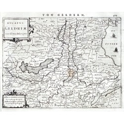
Janssonius, Johannes Ducatus Geldriae novissima descriptioBestell-Nr .: 20592
Gelderland. "Ducatus Geldriae novissima descriptio". Orig. Kupferstich Karte, J. Janssonius, Amsterdam, 1648-51. Mit ornament. Titelkart.. 15,5:20,5 cm.
1 500,00 KčZu verkaufen -
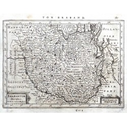
Keere, Pieter van den (Petrus Kaerius) Brabantiae DucatusBestell-Nr .: 20589
Brabant. "Brabantiae Ducatus". Orig. Kupferstich Karte von P. Kaerius (van der Keere). Bei J. Janssonius, Amsterdam, 1648-51. Mit ornament. Titelkart. 15:20,5 cm.
1 600,00 KčZu verkaufen -
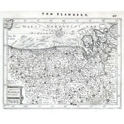
Keere, Pieter van den (Petrus Kaerius) Comitatus Flandriae Nova TabulaBestell-Nr .: 20586
Flandern. "Comitatus Flandriae Nova Tabula". Orig. Kupferstich Karte P. van der Keere. Bei J. Janssonius, Amsterdam, 1648-51. Mit ornament. Titelkart. (mit "Milliaria Germanica"). 15,5:20,5 cm.
1 800,00 KčZu verkaufen -
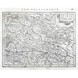
Keere, Pieter van den (Petrus Kaerius) StiriaBestell-Nr .: 20583
Steiermark. "Stiria". Orig. Kupferstich Karte P. van der Keere. Bei J. Janssonius, Amsterdam, 1648-51. Mit ornament. Titelkart. (mit "Milliaria Germa. commu."). 14,5:19,5 cm.
1 600,00 KčZu verkaufen -
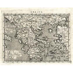
Magini, Giovanni Antonio (Autor) Porro, Girolamo (Anderer Autor) GraeciaBestell-Nr .: 20574
Griechenland. "Graecia". Orig. copperplate engraving from G. Magini's 'Geographiae Universae'. Engraved by G. Porro. Published by P. Keschedt in Cologne, 1597. 13:17 cm.
2 100,00 KčZu verkaufen -
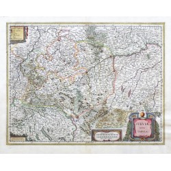
Blaeu, Willem Janszoon Sueviae Nova TabulaBestell-Nr .: 20568
"Sveviae Nova Tabula". Altkol. Kupf.-Kte. von W. J. Blaeu, um 1630. Bei W. Blaeu, Amsterdam, 1641. Mit ornament. Titelkart. und 3 andere ornament. Kart. (mit "Notarum explicatio", Meillenzeiger und Blaeus Adresse). 37,5:48,5 cm.
5 200,00 KčZu verkaufen -
Apian, Philipp S. Rom. Imperii Circvli Et Electoratvs...Bestell-Nr .: 20565
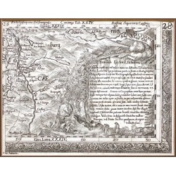
("S. Rom. Imperii Circvli Et Electoratvs Bavariae Tabvla Chorographica"). Sektion 28 (Ecke rechts unten mit Kartusche und Salzach Fluss von Salzburg bis Golling a. d. Salzach) von G. P. Finck Bayern Karte nach P. Apian. Orig. Kupferstich,...
2 000,00 KčZu verkaufen -
Meissner, August Gottlieb RabyBestell-Nr .: 20550
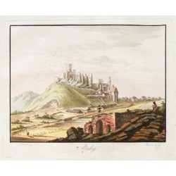
"Raby". Pův., staře kolorovaný obrysový lept z A. G. Meissnerova "Historisch-malerische Darsetllungen aus Böhmen". Podle L. Pruckertovy kresby leptal A. Pucherna, 1797. Vyd. J. G. Calve v Praze, 1798. S titulem pod obrázkem. 14,5:19,5 cm...
3 800,00 KčZu verkaufen -
Chatelain, Henri Abraham Mappmonde ou Description Generale du Globe...Bestell-Nr .: 20529
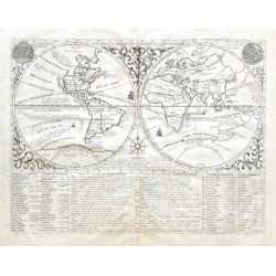
Die Welt."Mappmonde ou Description Generale du Globe Terrestre". Orig. copper-engraving from H. Chatelain's Atlas Historique, published in Amsterdam, 1705. With ornamental border, depiction of the Sun and the Moon, a wind-rose and explanatory...
12 000,00 KčZu verkaufen -
Janssonius, Johannes China Veteribus Sinarum Regio nunc Incolis...Bestell-Nr .: 20520
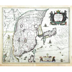
China, Korea und Japan. "China Veteribus Sinarum Regio nunc Incolis Tame dicta". Altkol Kupf.-Kte. bei J. Janssonius, 1636. Mit figur. Titelkartouche, Kart. mit Meilenzeiger und Janssonius Adresse und 4 Segelschiffe. 41:50 cm.
25 000,00 KčZu verkaufen -
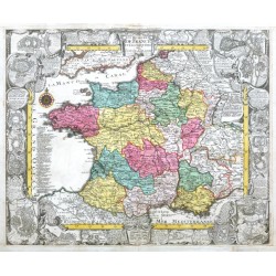
Lotter, Tobias Conrad Le royaume de France et les Conquetes de...Bestell-Nr .: 20502
Frankreich."Le royaume de France et les Conquetes de Louis le Grand". Altkol. Kupf.-Kte. bei T. C. Lotter. um 1750- gest. von J. C. Steinberger. Umgeben von ornament. Bordüre (ca. 4,5 cm breit) mit 2 kl. Porträts des Königs, zahl. Grundrissen...
10 800,00 KčZu verkaufen -
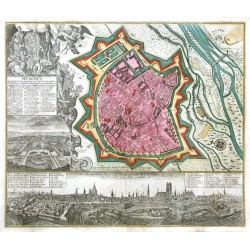
Seutter, Matthäus MünchenBestell-Nr .: 20499
München. "München, die weitberühmt, praechtig und wohl fortificirte Chur-Fürstl. Haupt u: Residenz Stadt des Herzogthums Bayern". Altkol. Kupferstich, M. Seutter, Augsburg, um 1740. Bei J. M. Probst, um 1760. Mit gr. fig. Titelkart. mit 2 Wappen,...
21 000,00 KčZu verkaufen -
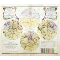
Lowitz, Georg Moritz Die verfinsterte Erdkugel d. i....Bestell-Nr .: 20496
Sonnenfinsternis."Die verfinsterte Erdkugel d. i. Geographische Vorstellung der Sonnen- od. Erd-Finsternis den 25.ten Iulii Ao. 1748 ... I.tes Blatt ... - Le Monde Eclipse ou Representation Geographique de l'Eclipse de la Terre ou du Soleil ......
18 000,00 KčZu verkaufen -
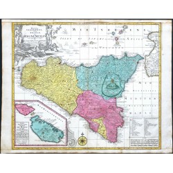
Lotter, Tobias Conrad Mappa Geographica totius Insulae et Regni...Bestell-Nr .: 20490
Sizilien. "Mappa Geographica totius Insulae et Regni Siciliae cura graphio et impensis". Orig. copper-engraving, T. C. Lotter (1717-1777), Augsburg, ca. 1750. Orig. old colouring. With figure title-cartouche, an inset map of Malta and Gozo islands ("Carte...
10 500,00 KčZu verkaufen -
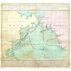
Lotter, Tobias Conrad Carte de Océan PacifiqueBestell-Nr .: 20445
Pazifik."Carte de Océan Pacifique au Nord de l'Equateur ... - Charte des Stillen Weltmeers im Nördlichen Aequator ...". Orig. copper-engraving, T. C. Lotter. Published in Augsburg by Lotter (family), 1781. Original old colouring. With Fr.-Ger....
18 000,00 KčZu verkaufen -
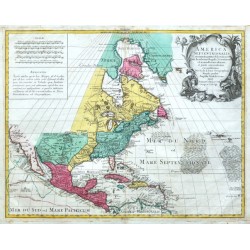
l'Isle, Gerard de America SeptentrionalisBestell-Nr .: 20442
Nordamerika."America Septentrionalis". Altkol. Kupf.-Kte. nach G. de L'Isle (gest. von G. F. Lotter) bei T. C. Lotter (1717-1777), Augsburg, ca. 1760. Mit gr. figur. Titelkart. (indianischer Handel) und andere Kart mit Meilenanzeiger ("Scalae")...
25 000,00 KčZu verkaufen -
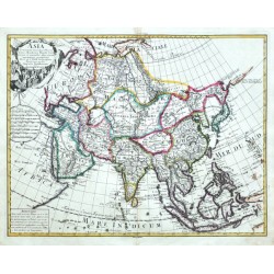
de L'Isle, Guillaume Asia ConcinnataBestell-Nr .: 20433
Asien."Asia Concinnata ...". Orig. copper-engraving after G. de l'Isle. Published by I. Wolff in Augsburg, ca. 1750. Orig. old colouring in outline. With figure title-cartouche, a cartouche with the scale of map and another cartouche with...
14 000,00 KčZu verkaufen -
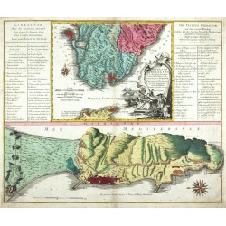
Lotter, Tobias Conrad Castellum Gibraltar in AndalusiaBestell-Nr .: 20430
Gibraltar. "Castellum Gibraltar in Andalusia ...". Orig. copperplate engraving, T. C. Lotter (1717-1777), Augsburg, ca. 1750. Orig. old colouring. With figure title-cartouche, 25 wind-roses and Fr.-Ger. explanatory notes. 49:58,5 cm.
6 200,00 KčZu verkaufen -
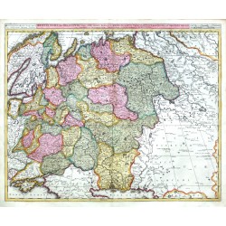
Valck, Gerard Russia Alba, sive MoscoviaBestell-Nr .: 20418
Rußland. "Russia Alba, sive Moscovia". Orig. copperplate engraving, G. and L. Valck, Amsterdam, ca. 1700. Original old colouring. With title above the map. 48,5:59 cm.
6 500,00 KčZu verkaufen -
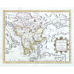
Nolin, J. B. Le Royaume de Hongrie et la Turquie d'EuropeBestell-Nr .: 20415
"Le Royaume de Hongrie et la Turquie d'Europe". Orig. copper-engraving after J. B. Nolin's map of the region. Published by L. J. Mondhare in Paris, 1783. Orig. old colouring. With ornamental title-cartouche. 20,5:26 cm.
2 500,00 KčZu verkaufen -
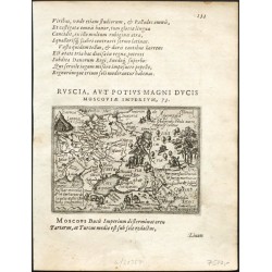
Jenkenson, Anthony Russiae moscouiae et tartariae descriptio...Bestell-Nr .: 20367
"Russiae moscouiae et tartariae descriptio autore Antonio Jenkensono". Orig. copper-engraving by F. Galle after A. Jenkenson's map of the region. From Galle's "Theatri Orbis Terrarum Enchiridion". Published in Antwerp by C. Plantin for F. Galle,...
7 500,00 KčZu verkaufen -
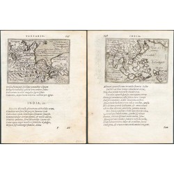
Ortelius, Abraham Asien - Indiae orientalis insularumque ......Bestell-Nr .: 20361
Südostasien und Nordostasien. "Indiae orientalis insularumque ..." + "Tartariae sive magni Chami regni typus". Orig. copper-engravings, F. Galle after A. Ortelius' maps. From Galle's "Theatri Orbis Terrarum Enchiridion". Published in Antwerp by C. Plantin for F. Galle, 1585....
7 000,00 KčZu verkaufen -
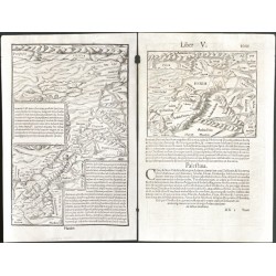
Münster, Sebastian In monte CasioBestell-Nr .: 20331
Zypern und Israel. "In monte Casio iuxta Ostracinam ..." (Cyprus with Israel). Orig. woodblock from S. Münster's 'Cosmographiae Universalis'. Cutted by Hans Rudolf Manuel Deutsch (monogram lower right). Published in Basel by H. Petri, 1550. With...
3 500,00 KčZu verkaufen -
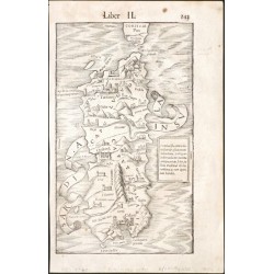
Münster, Sebastian Sardinia InsvlaBestell-Nr .: 20322
Sardinien (Italien). "Sardinia Insula". Orig. woodblock after S. Arquer's map of Sardinia. From S. Münster's 'Cosmographiae Universalis'. Published in Basel by H. Petri, 1550. With decorative title, a cartouche with explanatory notes and...
7 500,00 KčZu verkaufen -
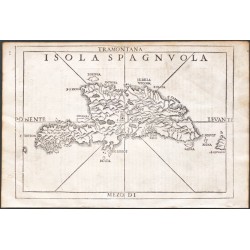
Ramusio, Giovanni Baptista Isola SpagnvolaBestell-Nr .: 20316
Hispaniola."Isola Spagnuola". Orig. woodblock from the 3rd volume of Giov. Batt. Ramusio's 'Delle Navigationi et Viagi' - 'Nel Quale Si Contengono Le Nauigationi al Mondo Nuouo, alli Antichi incognito, fatte da Don Christoforo Colombo Genouese,...
15 000,00 KčZu verkaufen -
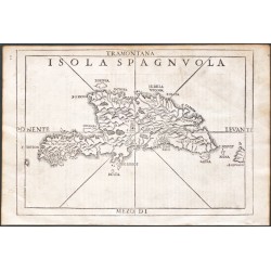
Ramusio, Giovanni Baptista Isola SpagnvolaBestell-Nr .: 20313
Hispaniola."Isola Spagnuola". Orig. woodblock from the 3rd volume of Giov. Batt. Ramusio's 'Delle Navigationi et Viagi' - 'Nel Quale Si Contengono Le Nauigationi al Mondo Nuouo, alli Antichi incognito, fatte da Don Christoforo Colombo Genouese,...
15 000,00 KčZu verkaufen -
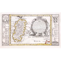
Bodenehr, Gabriel Insul und Konigreich SardinienBestell-Nr .: 20310
"Insul und Konigreich Sardinien". Orig. copper-engraving. Published by G. Bodenehr, Augsburg, ca. 1710. Original old colouring. With floral cartouche and explanatory notes by the sides (with ornamental title-cartouche, a cartouche with the scale...
6 000,00 KčZu verkaufen -
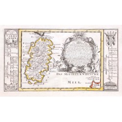
Bodenehr, Gabriel Insul und Konigreich SardinienBestell-Nr .: 20307
Sardinien (Italien)."Insul und Konigreich Sardinien". Orig. copper-engraving. Published by G. Bodenehr, Augsburg, ca. 1710. Original old colouring. With floral cartouche and explanatory notes by the sides (with ornamental title-cartouche, a...
6 000,00 KčZu verkaufen -
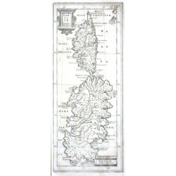
Cluver, Philipp Corsicae Antiquae Descriptio. Sardiniae...Bestell-Nr .: 20271
Korsika und Sardinien."Corsicae Antiquae Descriptio. Sardiniae Antiquae Descriptio". Orig. copper-engraving, P. Cluver. Published in Wolfenbüttel, 1694. With 2 ornamental title-cartouches and the scale of map ("Miliaria Italica"). 27:11 cm.
2 700,00 KčZu verkaufen -
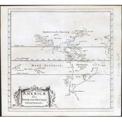
Cluver, Philip Americae sive Indiae Occidentalis Tabula...Bestell-Nr .: 20262
Amerika."Americae sive Indiae Occidentalis Tabula Generalis". Orig. copper-engraving from P. Cluver's "Introductionis in Universam Geographicam". Published in Amsterdam by Elzevier Press, 1659. With ornamental title-cartouches. 12:12,5 cm.
2 400,00 KčZu verkaufen -
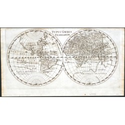
Cluver, Philip Typus Orbis TerrarumBestell-Nr .: 20256
Die Welt."Typus Orbis Terrarum". Orig. copper-engraving, 1661. P. Cluver's map of the World. Published in Wolfenbüttel by J. Buno, 1661. With title at the top. 15,5:30,2 cm.
6 000,00 KčZu verkaufen -
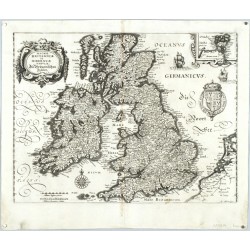
Merian, Matthäus Magnae Britanniae et Hiberniae Tabulae....Bestell-Nr .: 20244
Großbritannien und Irland. "Magnae Britanniae et Hiberniae Tabulae. Die Britannischen Insulen". Orig. Kupferstich-Karte, M. Merian, Frankfurt am Main, um 1635. Mit kl. Nebenkarte ("Orcades Insulae"), ornament. Titelkart., gr. Wappen, Windrose...
4 200,00 KčZu verkaufen

