Žádné produkty
Kategorie
-
Knihy
- 17., 18. a 19. století - Bohemika, Moravika, České národní obrození
- 17., 18. a 19. století - literatura, ilustrované atd. - zahr.
- 20. stol. - literatura, poezie, bibliofilie, ilustrované atd. - zahr.
- 20. stol. - literatura, poezie, bibliofilie, ilustrované, knížní vazby atd. - české
- Dějiny kultury, varia
- Dětské a dobrodružné knihy
- Filozofie, teologie, pedagogika, ekonomie, sociologie
- Historie a právo
- Místopis, cestopisy a geografie
- Příroda a přírodní vědy
- Staré tisky (15. a 16. století)
- Výtvarné umění a architektura
-
Kresby a grafika
-
České moderní umění (grafické listy, ex-libris, kresby)
- Bouda, Cyril (1901-1984)
- Fischerová-Kvěchová, Marie (1892-1984)
- Hodek, Josef mladší (1888-1973)
- Holler, Josef (1903-1982)
- Jiřincová, Ludmila (1912-1994)
- Konůpek, Jan (1883-1950)
- Lhoták, Kamil (1912-1990)
- Obrátil, Karel Jaroslav
- Rambousek, Jan (1895-1976)
- Seydl, Zdenek (1916-1978)
- Stretti, Viktor (1878-1957)
- Švabinský, Max (1873-1962)
- Váchal, Josef (1884-1969)
- Vondrouš, Jan Charles (1884-1970)
- Devoční a drobná užitá grafika (svaté obrázky, přání apod.)
- Evropské moderní umění (grafické listy, ex-libris, kresby)
- Grafika starých mistrů
- Japonské dřevoryty
- Staré rytiny, kresby a dekorativní grafika
-
České moderní umění (grafické listy, ex-libris, kresby)
-
Staré mapy a veduty
- Afrika
- Amerika
- Asie a Austrálie
- Atlasy
-
Evropa
-
Belgie, Nizozemsko, Lucembursko
- Amsterdam
- Antverpy
- Belgie a Lucembursko
- Bergen op Zoom
- Blokzijl
- Bommenede
- Brabant
- Bruggy
- Brusel
- Charleroi
- Delft
- Dinant
- Dordrecht
- Elburg
- Flandry
- Fort Rammekens
- Friesland
- Friesland a Groningen
- Gelderland
- Geraardsbergen
- Grave
- Groningen
- Haag
- Hainaut
- Harderwijk
- Harlingen
- Holland
- Hulst
- Huy
- Kortrijk
- Leuven
- Lier
- Limbourg
- Limburg
- Lucembursko
- Lutych
- Maastricht
- Mechelen
- Middelburg
- Mons
- Namur
- Nijmegen
- Nizozemí
- Nizozemí a Belgie
- Ostende
- Overijssel
- Rotterdam
- Spa
- Stavoren
- Tiel
- Utrecht
- Veere
- Veurne
- Ypry
- Zaltbommel
- Zeeland
- Zieriksee
- Zierikzee
- Zutphen
- Zype
-
Čechy, Morava a Slezsko
- Beroun
- Brandýs nad Labem
- Branná (okr. Šumperk)
- Brno
- Brodce (okr. Mladá Boleslav)
- Broumov
- Čáslav
- Čechy
- Čelákovice
- Český Krumlov
- Cheb
- Chlumec nad Cidlinou
- Chomutov
- Děčín
- Dolní Olešnice - Nové Zámky
- Dvůr Králové nad Labem
- Františkovy Lázně
- Frýdlant
- Hasištejn
- Házmburk
- Hostinné
- Hradec Králové
- Hřensko
- Jáchymov
- Jaroměř
- Jihlava
- Jindřichův Hradec
- Jižní Čechy
- Kamýk u Litoměřic
- Karlovy Vary
- Karlštejn
- Kolín
- Konopiště
- Kostelec nad Labem
- Křivoklát
- Krkonoše
- Krupka
- Kunětická Hora
- Kutná Hora
- Kyšperk
- Lednice
- Liberec
- Libochovany
- Lipnice nad Sázavou
- Litoměřice
- Litoměřicko
- Litomyšl
- Loket
- Louny
- Lovosice
- Lysá nad Labem
- Mariánské Lázně
- Mělník
- Mladá Boleslav
- Mladoboleslavsko
- Morava
- Most
- Náchod
- Nymburk
- Okoř
- Olomouc
- Ostrov nad Ohří
- Pardubice
- Plzeň
- Poděbrady
- Polná
- Prácheňsko
- Praha
- Přelouč
- Rabí
- Rakovnicko
- Rakovník
- Roudnice nad Labem
- Rožmberk
- Rožnov pod Radhoštěm
- Rychmburk
- Sedlec
- Slaný
- Smečno
- Smiřice
- Štětí
- Šumava
- Švamberk (Krasíkov)
- Tábor
- Teplá
- Teplice
- Terezín
- Třeboň
- Týnec nad Labem
- Uničov
- Valdštejn
- Vinec
- Vrabinec
- Vrchlabí
- Vyšší Brod
- Zákupy
- Žampach (zámek)
- Želiv
- Žireč
- Žleby
- Znojmo
- Zvíkov
- Dunaj
- Evropa (kontinent)
-
Francie
- Albi
- Alsasko
- Anjou
- Artois
- Bar-le-Duc
- Berry
- Blois
- Bourbourg
- Bresse
- Burgundsko-Franche-Comté
- Cambrai
- Cassel
- Château de Lichtenberg
- Chaumont
- Compiegne a Noyon
- Dauphine
- Gaskoňsko
- Gastinais a Senonais
- Gravelines
- Hauts-de-France
- Ile de France
- Korsika
- La Bassée - Hesdin
- Languedoc
- Lille
- Limoges
- Lotrinsko
- Lyon
- Maine
- Marseille
- Mety
- Montmélian
- Mylhúzy
- Nancy
- Nice
- Normandie
- Paříž
- Perche
- Pikardie
- Poitou
- Provence
- Ré a Oléron
- Remeš - Rethel
- Saint-Omer
- Saintonge a Aunis
- Savojsko
- Štrasburk
- Tarn (departement)
- Vexin
-
Itálie
- Abruzzo
- Ancona
- Apulie (Puglia)
- Arcevia
- Bari a Basilicata
- Benátky
- Bergamo
- Bologna
- Brescia
- Brescia a Crema
- Cadore
- Cagliari
- Caiazzo
- Capitanata
- Carmagnola
- Catania
- Civitavecchia
- Crema
- Cremona
- Cuneo
- Elba
- Emilia Romagna
- Faenza
- Fano
- Ferrara
- Florencie
- Fondi
- Friuli
- Gaeta
- Gallipoli
- Ischia
- Itálie
- Janov
- Jižní Itálie
- Kalábrie
- Kampánie
- Lazio
- Lerici
- Ligurie (Italská Riviéra)
- Livorno
- Lombardie
- Loreto
- Lucca
- Mantova
- Mantua
- Marche (Ancona)
- Merano
- Messina
- Milán
- Mirandola
- Modena
- Molise
- Monferrato
- Neapol
- Netuno
- Nocera Umbra
- Orvieto
- Orvieto a Loreto
- Otranto
- Pád
- Padova
- Palermo
- Parma
- Pavia
- Perugia
- Pesaro
- Piacenza
- Piemont
- Pinerolo
- Piombino
- Pisa
- Pozzuoli
- Reggio di Calabria
- Reggio Emilia
- Řím
- Rimini
- Rovigo
- San Marino
- Sardinie
- Severní Itálie
- Sicílie
- Sicílie a Malta
- Sicílie a Sardinie
- Siena
- Spoleto
- Střední Itálie
- Sulmona
- Taranto
- Terracina
- Tivoli
- Tortona
- Toskánsko
- Trapani
- Trentino-Alto Adige / Südtirol
- Trento
- Treviso
- Turín
- Tyrolsko
- Udine
- Umbria
- Urbino
- Velletri
- Vercelli
- Verona
- Vicenza
- Viterbo
- Labe
- Monako
- Německo
- Polsko, Slezsko, Rusko, Pobaltí
- Rakousko
- Řecko, Středomoří
- Rýn
- Skandinávie a Island
- Španělsko a Portugalsko
- Střední Evropa
- Středozemní moře
- Švýcarsko
-
Velká Británie a Irsko
- Anglie
- Bedford a Buckinghamshire
- Berkshire a Hampshire
- Cambridgeshire
- Cornwall
- Cumberland
- Denbigh a Flint
- Derbyshire
- Devon
- Dorset
- Durham (hrabství)
- Essex
- Gloucestershire
- Herefordshire
- Hertfordshire
- Hertfordshire and Middlesex
- Huntingdonshire
- Irsko
- Isle of Wight
- Jihovýchodní Anglie
- Jihozápadní Anglie
- Kent
- Leicestershire
- Lincolnshire
- Londýn
- Middlesex
- Norfolk
- Northampton
- Northumberland
- Nottinghamshire
- Oxfordshire
- Severní Anglie
- Severovýchodní Anglie
- Severozápadní Anglie
- Shropshire a Staffordshire
- Skotsko
- Somerset
- Staffordshire
- Surrey
- Sussex
- Velká Británie a Irsko
- Wales
- Westmorland
- Wiltshire
- Worcestershire a Warwickshire
- Yorkshire
- Východní a jihovýchodní Evropa, Balkán
-
Belgie, Nizozemsko, Lucembursko
- Ostrovy (zvláštní katalog)
- Svět, oceány, póly a hvězdné mapy
- Varia
Seznam děl autora Pont, Timothy
Reverend Timothy Pont (asi 1560 - asi 1627) byl skotský duchovní, kartograf a topograf. Jako první vytvořil podrobnou mapu Skotska. Pontovy mapy patří k nejstarším dochovaným mapám, které zobrazují evropskou zemi do nejmenších podrobností a jsou založeny na skutečném kartografickém průzkumu.
-
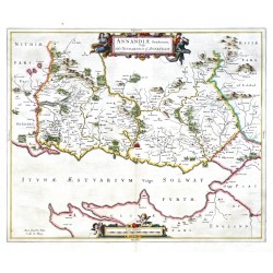
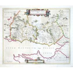
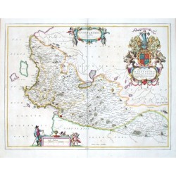
Blaeu, Joan (autor) Pont, Timothy (další autoři ) Annandiae Praefectura, Vulgo The...Katalog. číslo: 21659
Skotsko. Annandale. "Annandiae Praefectura, Vulgo The Stewartrie of Annandail". Pův., staře kol. mědirytina podle T. Pontovy mapy regionu. Vyd. J. Blaeu v Amsterdamu, 1654. S ornamentální a figurální tit. kartuší a kartuší s měřítkem mapy. 42,5:51 cm.
5 800,00 KčK prodeji -
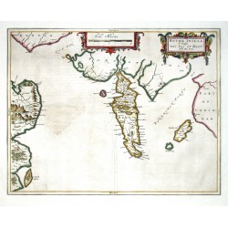
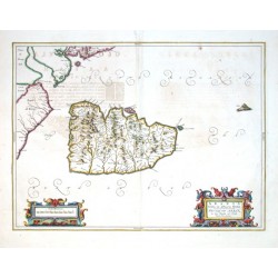
Blaeu, Joan (autor) Pont, Timothy (další autoři ) Buthe Insula Vulgo The Yle of BootKatalog. číslo: 10416
Skotsko. Bute. "Buthe Insula Vulgo The Yle of Boot". Pův., staře kol. mědirytina podle T. Pontovy mapy regionu. Vyd. J. Blaeu v Amsterdamu, 1654. 39,5:50,5 cm.
6 800,00 KčK prodeji -
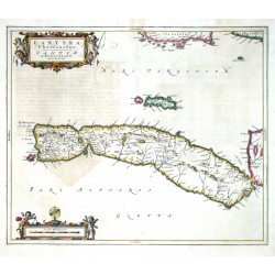
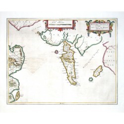
Blaeu, Joan (autor) Pont, Timothy (další autoři ) Cantyra ChersonesusKatalog. číslo: 10440
Skotsko. Kintyre. "Cantyra Chersonesus, Cantyr a Demie-yland". Pův., staře kol. mědirytina podle T. Pontovy mapy regionu. Vyd. J. Blaeu v Amsterdamu, 1654. 41,5:50 cm.
6 800,00 KčK prodeji -
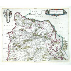
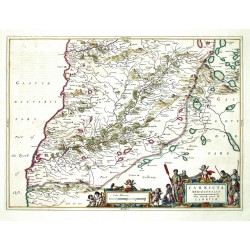
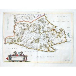
Blaeu, Joan (autor) Pont, Timothy (další autoři ) Caricta BorealisKatalog. číslo: 09363
Skotsko. Carrick. "Caricta Borealis Vulgo The north part of Carrick". Pův., staře kol. mědirytina podle T. Pontovy mapy regionu. Vyd. J. Blaeu v Amsterdamu, 1654. 42:52,5 cm.
5 200,00 KčK prodeji -
Blaeu, Joan (autor) Pont, Timothy (další autoři ) Carricta MeridionalisKatalog. číslo: 09342
Skotsko. Carrick. "Carricta Meridionalis. The South part of Carrick". Pův., staře kol. mědirytina podle T. Pontovy mapy regionu. Vyd. J. Blaeu v Amsterdamu, 1654. 38,5:53 cm.
5 200,00 KčK prodeji -
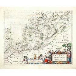
Blaeu, Joan (autor) Pont, Timothy (další autoři ) Lidalia vel Lidisdalia RegioKatalog. číslo: 26060
Liddesdale. "Lidalia vel Lidisdalia Regio. Lidisdail". Pův., staře kol. mědirytina podle T. Pontovy mapy regionu. J. Blaeu, Amsterdam, 1663. S velkou figurální titulní kartuší s měřítkem mapy. 41:52 cm.
7 500,00 KčK prodeji -
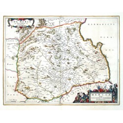
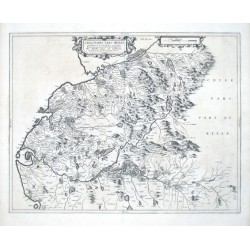
Blaeu, Joan (autor) Pont, Timothy (další autoři ) Mercia Vulgo Vicecomitatus BervicensisKatalog. číslo: 09339
Skotsko. Berwickshire. "Mercia Vulgo Vicecomitatus Bervicensis. The Merce or Shirrefdome of Berwick". Pův., staře kol. mědirytina podle T. Pontovy mapy regionu. Vyd. J. Blaeu v Amsterdamu, 1654. 38,5:50 cm.
5 200,00 KčK prodeji -
Blaeu, Joan (autor) Pont, Timothy (další autoři ) Nithia VicecomitatusKatalog. číslo: 09348
Skotsko. Nithsdale. "Nithia Vicecomitatus. The Shirifdome of Nidis-Dail". Původní mědirytina podle T. Pontovy mapy regionu. Vyd. J. Blaeu v Amsterdamu, 1654. S ornament. tit. kartuší. 39:53,5 cm.
4 800,00 KčK prodeji -
Blaeu, Joan (autor) Pont, Timothy (další autoři ) Praefectura Kircubriensis, quae...Katalog. číslo: 09264
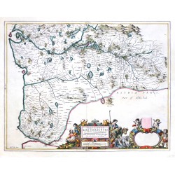
Skotsko. Kirkcudbrightshire. "Praefectura Kircubriensis, quae Gallovidiae maxime orientalis pars est. The Steuartrie of Kircubright, The most easterlie part of Galloway". Pův., staře kol. mědirytina podle T. Pontovy mapy regionu. Vyd. J. Blaeu v Amsterdamu, 1654. 42,5:54,5 cm.
6 000,00 KčK prodeji -
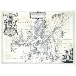
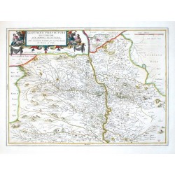
Blaeu, Joan (autor) Pont, Timothy (další autoři ) Sterlinensis PraefecturaKatalog. číslo: 26059
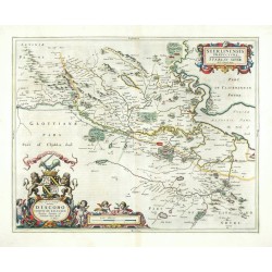
Stirlingshire. "Sterlinensis Praefectura. Sterlin-shyr". Pův., staře kol. mědirytina podle T. Pontovy mapy regionu. J. Blaeu, Amsterdam, 1663. S ornament. titulní kartuší a kartuší s erbem a dedikací. 41:52 cm.
6 200,00 KčK prodeji -
Blaeu, Joan (autor) Pont, Timothy (další autoři ) Teviotia Vulgo TivedailKatalog. číslo: 06966
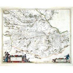
Skotsko. Scottish Borders. Teviotdale. "Teviotia Vulgo Tivedail". Pův., staře kol. mědirytina podle T. Pontovy mapy regionu. Vyd. J. Blaeu v Amsterdamu, 1654. S ornamentální a figurální tit. kartuší a další figurální kartuší s měřítkem mapy. 43:54 cm.
5 200,00 KčK prodeji -
Blaeu, Joan (autor) Pont, Timothy (další autoři ) Teviotia Vulgo TivedailKatalog. číslo: 18612
Skotsko. Scottish Borders. Teviotdale. "Teviotia Vulgo Tivedail". Pův., mědirytina podle T. Pontovy mapy regionu. Vyd. J. Blaeu v Amsterdamu, 1654. S ornamentální a figurální tit. kartuší a další figurální kartuší s měřítkem mapy. 43:54 cm.
4 200,00 KčK prodeji -
Blaeu, Joan (autor) Pont, Timothy (další autoři ) Tvedia cum vicecomitatu Etterico Forestae...Katalog. číslo: 26061
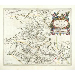
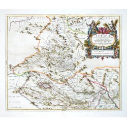
Tweeddale. "Tvedia cum vicecomitatu Etterico Forestae etiam Selkirkae dictus". Pův., staře kol. mědirytina podle T. Pontovy mapy regionu. J. Blaeu, Amsterdam, 1663. S velkou figurální titulní kartuší s měřítkem mapy. 42,5:50,5 cm.
7 500,00 KčK prodeji -
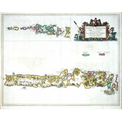
Blaeu, Joan (autor) Pont, Timothy (další autoři ) Vistus Insula, vulgo UiistKatalog. číslo: 10428
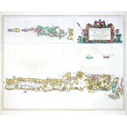
Skotsko. Hebridy. Uist. "Uistus Insula, vulgo Uiist". Pův., staře kol. mědirytina podle T. Pontovy mapy regionu. Vyd. J. Blaeu v Amsterdamu, 1654. 45,5:58,5 cm.
6 500,00 KčK prodeji -
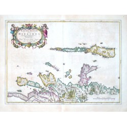
Pont, Timothy Aebudae Insulae Sive HebridesKatalog. číslo: 09384
"Aebudae Insulae Sive Hebrides. The Westerne Iles of Scotland". Orig. copper-engraving after T. Pont's map of the region. Published by J. Blaeu in Amsterdam, 1654. Original old colouring. With ornamental title-cartouche with 2 figures and the...
-
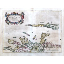
Pont, Timothy Aebudae Insulae Sive HebridesKatalog. číslo: 18615
"Aebudae Insulae Sive Hebrides. The Westerne Iles of Scotland". Orig. copper-engraving after T. Pont's map of the region. Published by J. Blaeu in Amsterdam, 1654. Original old colouring. With ornamental title-cartouche with 2 figures and the...
-
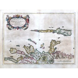
Pont, Timothy Aebudae Insulae Sive HebridesKatalog. číslo: 18618
Hebridy (Velká Británie)."Aebudae Insulae Sive Hebrides. The Westerne Iles of Scotland". Orig. copper-engraving after T. Pont's map of the region. Published by J. Blaeu in Amsterdam, 1654. Original old colouring. With ornamental title-cartouche...
-
Pont, Timothy Annandiae Praefectura, Vulgo The...Katalog. číslo: 09357
"Annandiae Praefectura, Vulgo The Stewartrie of Annandail". Orig. copper-engraving after T. Pont's map of the region. Published by J. Blaeu in Amsterdam, 1654. Original old colouring. With figure title-cartouche and ornamental cartouche with the...
-
Pont, Timothy Arania Insula in aestuario GlottaeKatalog. číslo: 10443
"Arania Insula in aestuario Glottae. The Yle of Arren in the Fyrth of Clyd". Pův., staře kol. mědiryt podle T. Pontovy mapy regionu. Vyd. J. Blaeu v Amsterdamu, 1654. S ornamentální tit. kartuší a další kartuší s měřítkem mapy...
-
Pont, Timothy Buthe Insula Vulgo The Yle of BootKatalog. číslo: 18066
Bute (Skotsko)."Buthe Insula Vulgo The Yle of Boot". Pův., staře kol. mědiryt podle T. Pontovy mapy regionu. Vyd. J. Blaeu v Amsterdamu, 1654. S ornamentální tit. kartuší a další kartuší s měřítkem mapy ("Scala Miliarium")....
-
Pont, Timothy CathenesiaKatalog. číslo: 09366
"Cathenesia. Caithness". Orig. copper-engraving after T. Pont's map of the region. Published by J. Blaeu in Amsterdam, 1654. Original old colouring. With ornamental title-cartouche with 4 cherubs and the scale of map ("Scala Miliarium"). 38,5:53 cm.
-
Pont, Timothy CvninghamiaKatalog. číslo: 09372
"Cuninghamia". Orig. copper-engraving after T. Pont's map of the region. Published by J. Blaeu in Amsterdam, 1654. Original old colouring. With ornamental title-cartouche with a cherub and 6 goats, great heraldic cartouche with a coat of arms and...
-
Pont, Timothy Gallovidiae pars MediaKatalog. číslo: 09333
"Gallovidiae pars media, quae Deam et Cream fluvios interjacet. The Middle-part of Galloway, whiche lyeth betweene the rivers Dee and Cree". Orig. copper-engraving after T. Pont's map of the region. Published by J. Blaeu in Amsterdam, 1654. With...
-
Blaeu, Joan (autor) Pont, Timothy (další autoři ) Glottiana Praefectvra inferior, cvm...Katalog. číslo: 09345
"Glottiana Praefectura inferior, cum Baronia Glascuensi. The Nether Warde of Clyds-Dail, and Baronie of Glasco". Orig. copper-engraving after T. Pont's map of the region. Published by J. Blaeu in Amsterdam, 1654. Original old colouring. With...
-
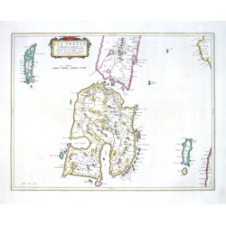
Pont, Timothy Ila Insvla ex Aebudarum majoribus unaKatalog. číslo: 10425
"Ila Insula ex Aebudarum majoribus una. The Yle of Ila, beeing one of the biggest of the Westerne Yles". Pův., staře kol. mědiryt podle T. Pontovy mapy regionu. Vyd. J. Blaeu v Amsterdamu, 1654. S ornamentální tit. kartuší a měřítkem...
-
Pont, Timothy Ivra InsvlaKatalog. číslo: 18069
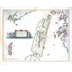
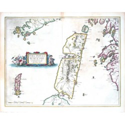
Jura (Skotsko)."Iura Insula. The Yle of Iura one of the westerne Iles of Scotland". Pův., staře kol. mědiryt podle T. Pontovy mapy regionu. Vyd. J. Blaeu v Amsterdamu, 1654. S figurální tit. kartuší a měřítkem mapy ("Milliaria Scotica...
-
Pont, Timothy Ivra InsvlaKatalog. číslo: 10437
"Iura Insula. The Yle of Iura one of the westerne Iles of Scotland". Pův., staře kol. mědiryt podle T. Pontovy mapy regionu. Vyd. J. Blaeu v Amsterdamu, 1654. S figurální tit. kartuší a měřítkem mapy ("Milliaria Scotica communia")....
-
Pont, Timothy Knapdalia Provincia que sub Argathelia...Katalog. číslo: 09351
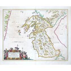
"Knapdalia Provincia que sub Argathelia cansetur. The Province of Knapdail which is accounted a member of Argyll". Orig. copper-engraving after T. Pont's map of the region. Published by J. Blaeu in Amsterdam, 1654. Original old colouring. With...
-
Pont, Timothy Lavdelia Sive LavderdaliaKatalog. číslo: 09330
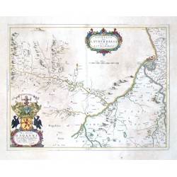
"Laudelia Sive Lauderdalia Scoris vulgo Lauderdail". Orig. copper-engraving after T. Pont's map of the region. Published by J. Blaeu in Amsterdam, 1654. Original old colouring. With ornamental title-cartouche, great decorative cartouche with the...
-
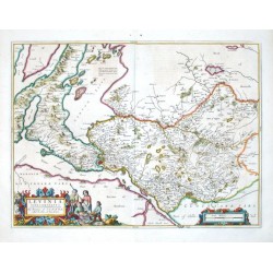
Pont, Timothy Levinia vice comitatvsKatalog. číslo: 09375
"Levinia vice comitatus. The province of Lennox, called the Shyre of Dun-Britton". Orig. copper-engraving after T. Pont's map of the region. Published by J. Blaeu in Amsterdam, 1654. Original old colouring. With figure title-cartouche and...
-
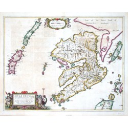
Pont, Timothy Mvla InsvlaKatalog. číslo: 09387
"Mula Insula, quae ex Aebudarum numero une est, et Lochabriae ad occasum praetenditur. The Yle of Mul whiche is one of the westerne Yles, and lyeth ovir against Lochabijr". Orig. copper-engraving after T. Pont's map of the region. Published by J....
-
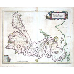
Pont, Timothy Skia vel SkianaKatalog. číslo: 10431
"Skia vel Skiana. The Yle of Skie". Pův., staře kol. mědiryt podle T. Pontovy mapy regionu. Vyd. J. Blaeu v Amsterdamu, 1654. S figurální tit. kartuší, další kartuší s vysvětlivkami a měřítkem mapy ("Milliaria Scotica communia")....
-
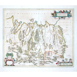
Pont, Timothy Strath-NaverniaKatalog. číslo: 09360
"Strath-Navernia. Strath-Navern". Orig. copper-engraving after T. Pont's map of the region. Published by J. Blaeu in Amsterdam, 1654. Original old colouring. With figure title-cartouche, ornamental cartouche with a coat of arms (not fielled out)...
-
Pont, Timothy Tvedia cum vicecomitatu Etterico Forestae...Katalog. číslo: 09336
"Tvedia cum vicecomitatu Etterico Forestae etiam Selkirkae dictus. Twee-Dail with the Sherifdome of Etterik-Forrest called also Selkirk". Orig. copper-engraving after T. Pont's map of the region. Published by J. Blaeu in Amsterdam, 1654. Original...
-
Pont, Timothy Vistvs Insvla, vulgo ViistKatalog. číslo: 18075
Uist (Skotsko)."Uistus Insula, vulgo Uiist, cum aliis minoribus ex Aebudarum numero ei ad meridiem adjacentibus". Pův., kol. mědiryt podle T. Pontovy mapy regionu. Vyd. J. Blaeu v Amsterdamu, 1654. S figurální tit. kartuší a vloženou...

