Keine Artikel
Polen, Schlesien, Rußland, Blatikum
Polen, Schlesien, Rußland, Blatikum Es gibt 72 Artikel.
Unterkategorien
-
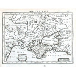
Mercator, Gerardus Taurica ChersonesusBestell-Nr .: 18753
"Taurica Chersonesus". Orig. copper-engraving from the German edition of Mercator's Atlas Minor published in Amsterdam by J. Janssonius, 1648. With ornamental title-cartouche, another ornamental cartouche with the scale of map ("Miliaria...
2 500,00 KčZu verkaufen -
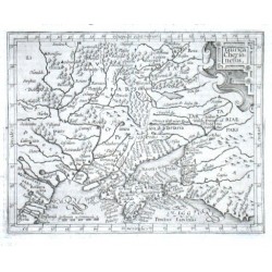
Mercator, Gerardus Taurica ChersonesusBestell-Nr .: 18750
"Taurica Chersonesus". Orig. copper-engraving from Mercator's Atlas Minor published in Amsterdam by J. Hondius, 1613. With ornamental title-cartouche and the scale of map ("Miliaria Germanica Communia"). 13:16,5 cm.
2 400,00 KčZu verkaufen -
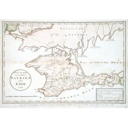
Maire, F. J. Post Karte von der Halbinsel Taurien oder...Bestell-Nr .: 18747
"Post Karte von der Halbinsel Taurien oder Krim (pour Servir de renseignemens a la Carte des Limites des trois Empires ou Theatre de la Guerre de 1787 entre la Russie et les Turcs)". Orig. copper-engraving after F. J. Maire's map of the region....
4 000,00 KčZu verkaufen -
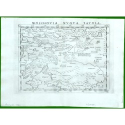
Ruscelli, Girolamo Moschovia Nuova TavolaBestell-Nr .: 17157
Moskau - Zentralrussland. "Moschovia Nuova Tavola". Orig. copper-engraving from G. Ruscelli's edition of Ptolemy's Geography. Published in Venice by G. Ziletti, 1562. With title above the map. 18,5:25 cm.
6 000,00 KčZu verkaufen -
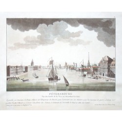
le Coeur, Louis Sankt Petersburg. PetersbourgBestell-Nr .: 16737
"Petersbourg. Vue des bords de la Neva en descendant la riviere". Orig. altkol. Aquatinta von L. le Coeur bei Bance, Paris, um 1800. Mit zahlr. Schiffe im Vordergrund und Fr. Titel unten. 22,5:33,5 cm.
12 000,00 KčZu verkaufen -
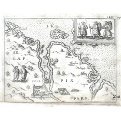
Ortelius, Abraham Kola (Halbinsel) - Lappiae Pars. ColaBestell-Nr .: 14571
Kola (Halbinsel) - Russland. "Lappiae Pars. Cola". Orig. copper-engraving from the German edition of A. Ortelius' Epitome, published in Frankfurt am Main by L. Hulsius (Hulst), 1604. With title in desk, ornamental cartouche with 3 figures, another 2 figures in the map,...
2 700,00 KčZu verkaufen -
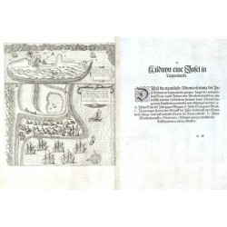
Linschoten, Jan Huygen van Kilduyn eine Insel in LappenlandtBestell-Nr .: 14295
"Kilduyn eine Insel in Lappenlandt" (title on verso). Orig. copper-engraving after details from two of J. H. van Linschoten's maps taken from his account of the three expeditions undertaken by Willem Barents in 1594, 1595 and 1596, in an attempt...
12 000,00 KčZu verkaufen -
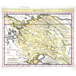
Delisle, Guillaume MoscovieBestell-Nr .: 14148
Westrussland."Moscovie". Orig. copper-engraving. after G. Delisle map. Published in Paris, ca. 1700. Orig. old colouring. With title above the map. 14:17 cm.
2 700,00 KčZu verkaufen -
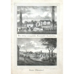
Möckel, Julius Das adelige evangelische Fräuleinstift...Bestell-Nr .: 13689
"Das adelige evangelische Fräuleinstift Joachimstein". Orig. Lithographie von Renner und Ketzschau nach Zeichnung von Julius Möckel. Mit Figuren forne. Aus Sachsens Kirchen-Galerie. Dresden, H. Schmidt, 1837. 9,5:13,5 cm. Darunter: "Nieder...
500,00 KčZu verkaufen -
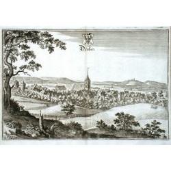
Merian, Matthäus DroßenBestell-Nr .: 13032
Ośno Lubuskie. "Droßen". Orig. Kupferstich, M. Merian, um 1640. Mit gest. Titel und Wappen. 23,5:35 cm.
1 800,00 KčZu verkaufen -
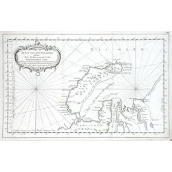
Bellin, Jacques Nicolas Stück von dem Eis-meere welches Neu Zembla...Bestell-Nr .: 11742
"Stück von dem Eis-meere welches Neu Zembla und das Land der Samoieden enthelt". Orig. copper-engraving, J. N. Bellin, dated 1758. Published in Leipzig, ca. 1760. With ornamental title-cartouche. 21,5:34,5 cm.
1 800,00 KčZu verkaufen -
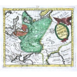
Desing, Anselm XXV. HauptKarte Moscau. Das KeyserthumBestell-Nr .: 09816
"XXV. HauptKarte Moscau. Das Keyserthum". Orig. copper-engraving from A. Desing's Historica Auxilia, published by Ch. Holst in Sulzbach, 1733. Coloured. With decorative title-cartouche with an eagle. 11:13 cm.
1 200,00 KčZu verkaufen -
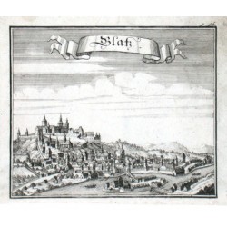
Vogt, Johann Georg GlatzBestell-Nr .: 08697
Kłodzko. "Glatz". Orig. Kupferstich nach J. M. Vogt aus seinem Werk "Das jetzt-lebende Königreich Böhmen", Frankfurtu am Main und Leipzig, 1712. Mit Titelkart. 14:16,5 cm.
1 200,00 KčZu verkaufen -
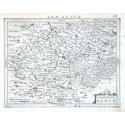
Mercator, Gerardus Comitatus GlatzBestell-Nr .: 06414
"Comitatus Glatz". Orig. copper-engraving after G. Mercator's map of the region, engraved by P. van den Keere (Kaerius), published by J. Janssonius in Amsterdam, 1648-51. With ornamental title-cartouche, the scale of map ("Milliaria Germanica...
2 100,00 KčZu verkaufen -
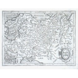
Mercator, Gerardus Russia cum ConfiniisBestell-Nr .: 05703
"Russia cum Confiniis". Orig. copper-engraving from Mercator's Atlas Minor published in Amsterdam by J. Hondius, 1613. With ornamental title-cartouche and another ornamental cartouche with the scale of map ("Miliaria Germanica Comunia"). 14:18,5 cm.
2 500,00 KčZu verkaufen -
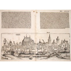
Schedel, Hartmann NissaBestell-Nr .: 04399
Nisa. "Nissa". Orig. Holzschnitt aus H. Schedels "Das Buch der Chroniken" (erste deutsche Ausgabe von "Liber Chronicarum"). Nürnberg: Koberger, 1493. Gesamtansicht von der Stadt Nysa (Neisse). 20:53 cm (Stadtansicht)- 44,5:51 cm (ganze Doppelseite mit...
14 000,00 KčZu verkaufen -
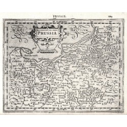
Mercator, Gerardus PrussiaBestell-Nr .: 03837
Preußen. "Prussia". Orig. copperplate engraving after G. Mercator's map of the region. Published by J. Hondius in Amsterdam, 1608. With ornamental title-cartouche, French title above the map ("Prvssie.") and "Miliaria Germanica Co:". 15:19,5 cm.
1 800,00 KčZu verkaufen -
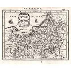
Mercator, Gerardus PrussiaBestell-Nr .: 03831
Preußen. "Prussia". Orig. copperplate engraving after G. Mercator's map of the region. Published by J. Janssonius in Amsterdam, 1648-51. With ornamental title-cartouche and German title above the map. 14,5:19 cm.
1 800,00 KčZu verkaufen -
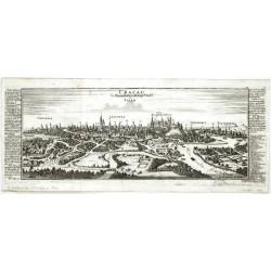
Bodenehr, Gabriel Cracau die Fürnehmbste Haupt Stadt in PolenBestell-Nr .: 03003
Krakau. "Cracau die Fürnehmbste Haupt Stadt in Polen". Kupferstich von G. Bodenehr (1673-1765), um 1720. Gesamtansicht der Stadt mit Legende bei den Seiten. 15,5:39 cm.
9 000,00 KčZu verkaufen -
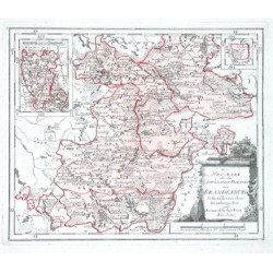
Reilly, F. J. J. von Der Neumark oder des östlichen Theiles von...Bestell-Nr .: 01798
"Der Neumark oder des östlichen Theiles von Brandenburg Schiefelbeinscher Dramburgscher und Arenswaldischer Kreis. Nro. 350.". Altkol. Kupf.-Karte von F. J. J. von Reilly, (1791). Unten rechts Titelkartusche u. Meilenzeiger. Oben links u....
2 400,00 KčZu verkaufen -
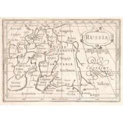
Bertius, Petrus RussiaBestell-Nr .: 00957
"Russia". Copper-engraving by P. Bertius published by J. Hondius, 1618. With small ornamental cartouche and the scale of map: "Milliaria Germanica co.". 9,5:13,5 cm.
1 800,00 KčZu verkaufen

