Keine Artikel
Belgien, Niederlande, Luxemburg
- Amsterdam
- Antwerpen
- Belgien und Luxemburg
- Bergen op Zoom
- Blokzijl
- Bommenede
- Brabant
- Brugge
- Brüssel
- Charleroi
- Delft
- Den Haag
- Dinant
- Dordrecht
- Elburg
- Flandern
- Fort Rammekens
- Friesland
- Friesland und Groningen
- Gelderland
- Geraardsbergen
- Grave
- Groningen
- Hainaut
- Harderwijk
- Harlingen
- Holland
- Hulst
- Huy
- Kortryk
- Lier
- Limbourg
- Limburg
- Löwen
- Lüttich
- Luxemburg
- Maastricht
- Mechelen
- Middelburg
- Mons
- Namur
- Niederlande
- Niederlande und Belgien
- Nijmegen
- Ostende
- Overijssel
- Rotterdam
- Spa
- Stavoren
- Tiel
- Utrecht
- Veere
- Veurne
- Ypern
- Zaltbommel
- Zeeland
- Zieriksee
- Zierikzee
- Zutphen
- Zype
Belgien, Niederlande, Luxemburg Es gibt 159 Artikel.
Unterkategorien
-
Amsterdam (10)
-
Antwerpen (4)
-
Belgien und Luxemburg (7)
-
Bergen op Zoom (1)
-
Blokzijl (1)
-
Bommenede (1)
Bommenede
-
Brabant (13)
-
Brugge (1)
-
Brüssel (3)
-
Charleroi (1)
-
Delft (1)
-
Den Haag (4)
-
Dinant (1)
-
Dordrecht (2)
-
Elburg (1)
Elburg
-
Flandern (10)
-
Fort Rammekens (1)
Fort Rammekens
-
Friesland (2)
-
Friesland und Groningen (1)
-
Gelderland (8)
-
Geraardsbergen (1)
Geraardsbergen
-
Grave (1)
-
Groningen (3)
-
Hainaut (4)
-
Harderwijk (1)
Harderwijk
-
Harlingen (1)
-
Holland (9)
-
Hulst (1)
-
Huy (1)
-
Kortryk (1)
-
Lier (1)
Lier
-
Limbourg (1)
Limbourg
-
Limburg (4)
-
Löwen (1)
-
Lüttich (2)
-
Luxemburg (1)
-
Maastricht (1)
-
Mechelen (2)
-
Middelburg (2)
-
Mons (1)
-
Namur (12)
-
Niederlande (6)
-
Niederlande und Belgien (2)
-
Nijmegen (2)
-
Ostende (2)
Ostende
-
Overijssel (2)
-
Rotterdam (2)
-
Spa (1)
-
Stavoren (1)
Stavoren
-
Tiel (2)
-
Utrecht (3)
-
Veere (1)
-
Veurne (1)
-
Ypern (1)
Ypern
-
Zaltbommel (1)
Zaltbommel
-
Zeeland (3)
-
Zieriksee (1)
Zieriksee
-
Zierikzee (1)
Zierikzee
-
Zutphen (5)
-
Zype (1)
-
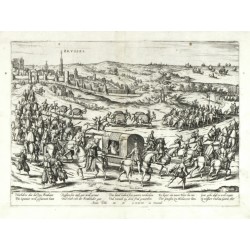
Hogenberg, Frans BrusselBestell-Nr .: 04102
Brüssel. "Brussel ... MDLXXIII". Orig. Kupferstich aus F. Hogenbergs 'Geschichtsblätter'. Köln: Hogenberg, ca. 1580. Mit zahlr. Figuren vorne und deutschem Verstext unten. 20,5:28,5 cm.
2 100,00 KčZu verkaufen -
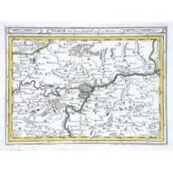
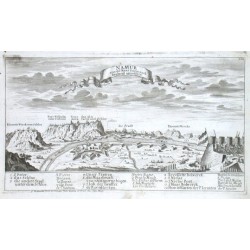
Bodenehr, Gabriel Namur mit dero Gegend auff 2 StundenBestell-Nr .: 04035
"Namur mit dero Gegend auff 2 Stunden". Copper-engraving by G. Bodenehr, published in Augsburg, 1710. With heading title and coloured decorative frame. 17:23 cm.
900,00 KčZu verkaufen -
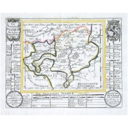
Bodenehr, Gabriel Die Grafschafft NamurBestell-Nr .: 04032
"Die Grafschafft Namur Nach dero Eigendlichen Lager". Copper-engraving by G. Bodenehr, published in Augsburg, 1710. Map is surrounded with decorative border with ornamental title-cartouche and coat-of-arms. 15,5:20 cm.
900,00 KčZu verkaufen -
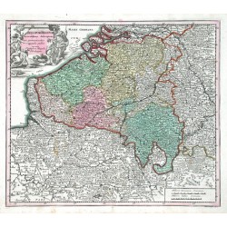
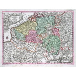
Weigel, Christoph der Ältere Belgium Regium accuratissime descriptumBestell-Nr .: 04029
Belgien. "Belgium Regium accuratissime descriptum". Copper-engraving by M. Kauffer. Original old colouring. Published by Ch. Weigel, 1722. With figure title-cartouche and "Milliaria Germanica ... Gallica Communia" in lower right corner. 34:38,5 cm.
3 000,00 KčZu verkaufen -
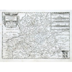
de la Feuille, Daniel Le Comte de HaynavltBestell-Nr .: 04026
"Le Comte de Haynault". Orig. copper-engraving. Published by D. de la Feuille, 1701. With ornamental title-cartouche, coat-of-arms and 2 views of the cities of Mons and Valenciennes (France). 15:22 cm.
1 500,00 KčZu verkaufen -
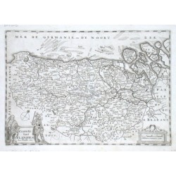
de la Feuille, Daniel Comitatus FlandriaeBestell-Nr .: 04023
"Comitatus Flandriae". Orig. copper-engraving. Published by D. de la Feuille, 1701. With figure title-cartouche and ornamental cartouche with the scale of map ("Milliaria Germanica Com."). 16,5:23,5 cm.
1 800,00 KčZu verkaufen -
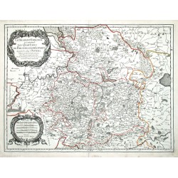
Sanson, Nicolas Le Brabant EspagnolBestell-Nr .: 04020
Brabant. "Le Brabant Espagnol qui comprend Les Quartiers de Brusselles, de Louvain, et partie de celuy d'Anvers". Orig. altkol. Kupferstich Karte, N. Sanson. Bei A.-H. Jaillot in Paris, 1674. Mit 2 ornament. Kart. 43:57 cm.
4 200,00 KčZu verkaufen -
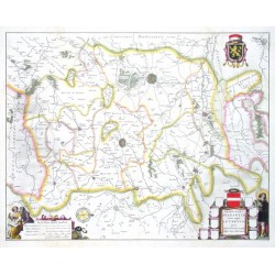
Blaeu, Willem Prima pars Brabantiae cuius caput LovaniumBestell-Nr .: 04017
"Prima pars Brabantiae cuius caput Lovanium". Orig. copper-engraving after M. F. van Langren's map of the region. Published by W. Blaeu in Amsterdam, 1640. With heraldic title-cartouche, figure cartouche with the scale of map ("Variae huius...
5 400,00 KčZu verkaufen -
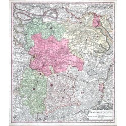
Seutter, Matthäus Brabantiae DucatusBestell-Nr .: 04014
Brabant. "Brabantiae Ducatus cum adjacentibus Provinciis". Copper-engraving by M. Seutter. Published in Augsburg, ca. 1740. Original old colouring. With ornamental and heraldical title-cartouche and small cartouche with "Milliaria Germanica ... Gallica...
4 800,00 KčZu verkaufen -
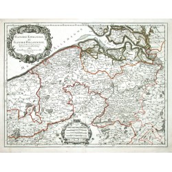
Sanson, Nicolas Flandre Espagnole, et Flandre HollandoiseBestell-Nr .: 04008
Flandern. "Flandre Espagnole, et Flandre Hollandoise". Orig. altkol. Kupferstich Karte, N. Sanson. Bei A.-H. Jaillot in Paris, 1674. Mit 2 ornament. Kart. 43:56,5 cm.
4 500,00 KčZu verkaufen -
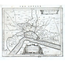
Mercator, Gerardus Antwerpen - Marchionatus Sacri ImperiiBestell-Nr .: 03828
Antwerpen. "Marchionatus Sacri Imperii". Orig. copper-engraving after G. Mercator's map of the region. Published by J. Janssonius in Amsterdam, 1648-51. With ornamental title-cartouche, German title above the map ("Von Antorf.") and another cartouche with...
2 400,00 KčZu verkaufen -
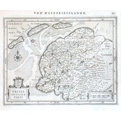
Mercator, Gerardus Frisia OccidentalisBestell-Nr .: 03825
"Frisia Occidentalis". Copper-engraving according to G. Mercator's map of the region. Published by J. Janssonius in Amsterdam, 1648-51. With ornamental and heraldic title-cartouche, German title above the map ("Von Westfrieszlandt.") and another...
2 200,00 KčZu verkaufen -
Mercator, Gerardus Groninga DominiumBestell-Nr .: 03822
"Groninga Dominium". Copper-engraving by P. Kaerius according to G. Mercator's map of the region. Published by J. Janssonius in Amsterdam, 1648-51. With ornamental title-cartouche, German title above the map ("Von Groninger-Landt.") and...
2 700,00 KčZu verkaufen -
Mercator, Gerardus De Heerlijckheijt van Over-Yssel Novissima...Bestell-Nr .: 03816
"De Heerlijckheijt van Over-Yssel Novissima descriptio". Copper-engraving by B. Schelper according to G. Mercator's map of the region. Published by J. Janssonius in Amsterdam, 1648-51. With ornamental title-cartouche, German title above the map...
2 200,00 KčZu verkaufen -
Bodenehr, Gabriel Charle-Roy In der Grafschafft NamurBestell-Nr .: 03756
"Charle-Roy In der Grafschafft Namur". Gesamtansicht der Stadt. Kupf. von G. Bodenehr (1664-1758), ca. 1720. Mit gr. ornament. Bordüre und Legende unten. 15:19,5 cm.
2 000,00 KčZu verkaufen -
Bodenehr, Gabriel NamurBestell-Nr .: 03753
"Namur". Gesamtansicht der Stadt über d. Maas. Kupf. von G. Bodenehr (1664-1758), ca. 1720. Mit gr. ornament. Bordüre und Legende unten. 15:19,5 cm.
2 400,00 KčZu verkaufen -
Bodenehr, Gabriel Namur von der Maas Seiten nach Braband...Bestell-Nr .: 03750
"Namur von der Maas Seiten nach Braband anzusehen". Gesamtansicht der Stadt über d. Maas. Kupf. von G. Bodenehr (1664-1758), ca. 1720. Mit Legende (1-12) unten. 16:28 cm.
2 100,00 KčZu verkaufen -
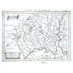
Mercator, Gerardus Comitatus ZutphaniensisBestell-Nr .: 03717
"Comitatus Zutphaniensis". Copper-engraving published in Amsterdam by J. Janssonius, 1648-51. With ornamental title-cartouche, "Milliaria Germanica" in another cartouche and engraved German title ("Von Zvtphen") above the map. 15:20,5 cm.
2 500,00 KčZu verkaufen -
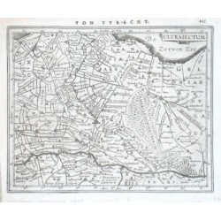
Mercator, Gerardus UltraiectumBestell-Nr .: 03714
"Ultraiectum". Copper-engraving by P. Kaerius published in Amsterdam by J. Janssonius, 1648-51. With ornamental title-cartouche and engraved German title ("Von Vtrecht") above the map. 16:19,5 cm.
2 500,00 KčZu verkaufen -
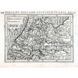
Bertius, Petrus Hollandia Meridional.Bestell-Nr .: 03705
"Hollandia Meridional.". Copper-engraving by P. Bertius published by J. Hondius, 1616-18. With small ornamental title-cartouche. 9,5:13,5 cm.
2 000,00 KčZu verkaufen -
Seutter, Matthäus Germaniae Inferioris sive Belgii Pars...Bestell-Nr .: 03601
Belgien und Luxemburg. "Germaniae Inferioris sive Belgii Pars Meridionalis exhibens X. Provincias Catholic". Altkol. Kupf.-Kte. von M. Seutter, 1744. Mit 2 fig. und ornament. Kart. 19,5:25,5 cm.
3 000,00 KčZu verkaufen -
Merian, Caspar Bergen. op zomBestell-Nr .: 03577
Bergen op Zoom. "Bergen. op zom". Orig. Kupferstich, C. Merian, Topographia Germaniae Inferioris, 1659. 13:51,5 cm.
3 000,00 KčZu verkaufen -
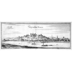
Merian, Caspar Prosp. der Statt NamurBestell-Nr .: 03544
Namur. "Prosp. der Statt Namur". Orig. Kupferstich, C. Merian, Topographie Germaniae-Inferioris, 1659. Mit gestochenen Titel und Erklärungen (A-C). 14:36,5 cm.
2 100,00 KčZu verkaufen -
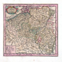
Des Burgundischen Creisses Südlicher theil...Bestell-Nr .: 03384
"Des Burgundischen Creisses Südlicher theil oder Oesterreichische Niederlande". Altkol. Kupf.-Kte. (aus Ch. Weigels "Atlas Portatilis", 1720). Mit ornament. Titelkart. und andere Kart. mit "Erklärung derer Zeichen". 15,5:16,5 cm.
1 200,00 KčZu verkaufen -
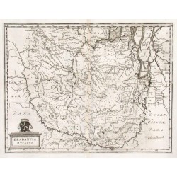
Merian, M. Brabantia DucatusBestell-Nr .: 03046
"Brabantia Ducatus". Orig. Kupf.-Kte. (von M. Merian), um 1650. Mit Titelkart. und Wappen. 25,5:33 cm.
2 400,00 KčZu verkaufen -
Merian, Caspar Geldria ducatus, et Zutfania comitatusBestell-Nr .: 03040
Geldern und Zutphen. "Geldria ducatus, et Zutfania comitatus". Orig. Kupferstich Karte, C. Merian, Topographia Germaniae Inferioris, 1659. Mit Titelkart mit 2 Wappen. 26:34 cm.
1 800,00 KčZu verkaufen -
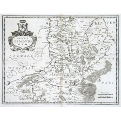
Merian, M. Ducatus LimburgumBestell-Nr .: 03028
"Ducatus Limburgum". Kupf.-Kte. (von M. Merian, um 1650). Mit ornament. Kart. l. o. 25,5:33,5 cm.
2 100,00 KčZu verkaufen -
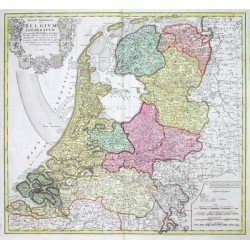
Homann Erben Septem Provinciae seu Belgium Foederatum...Bestell-Nr .: 02139
Niederlande. "Septem Provinciae seu Belgium Foederatum quod generaliter Hollandia audit". Altkol. Kupf.-Kte. nach T. Maier bei Homann Erben, 1748. Mit gr. herald. Titelkart. (mit 7 Landwappen) u. Meilanzeiger. 47:51,5 cm.
3 800,00 KčZu verkaufen -
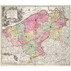
Seutter, Matthäus Flandria maximus et pulcherrimus Europae...Bestell-Nr .: 02118
Flandern (Vlaanderen). "Flandria maximus et pulcherrimus Europae Comitatus". Altkol. Kupf.-Kte., M. Seutter (1658-1747), um 1730. Mit gr. fig. Titelkart. und andere ornament. Kart. mit Meilenzeiger. 49,5:58 cm.
4 800,00 KčZu verkaufen -
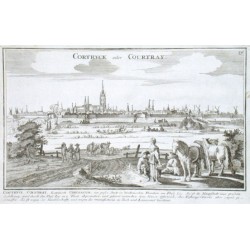
Bodenehr, Gabriel Cortryck oder CourtrayBestell-Nr .: 01734
"Cortryck oder Courtray". Gesamtansicht der Stadt. Kupferstich von G. Bodenehr (1664-1758), ca. 1720. Mit Legende unten. 17,5:27,5 cm.
2 800,00 KčZu verkaufen -
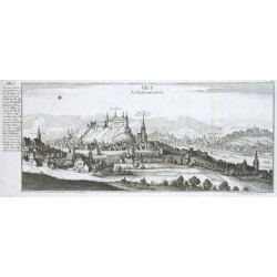
Bodenehr, Gabriel Huy Im Bisthum LüttichBestell-Nr .: 01731
Huy. "Huy Im Bisthum Lüttich". Gesamtansicht der Stadt über d. Maase. Orig. Kupferstich, G. Bodenehr, 1720. Mit Legende. 15,5:38,5 cm.
2 100,00 KčZu verkaufen -
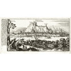
Bodenehr, Gabriel Dinant Im Bisthum LüttichBestell-Nr .: 01728
Dinant. "Dinant Im Bisthum Lüttich". Orig. Kupferstich von G. Bodenehr, 1720. Mit gest. Titel und Erklärungen links. 16:33,5 cm.
1 300,00 KčZu verkaufen -
Janssonius, Johannes Beschreibung des Theils in Flandern, das...Bestell-Nr .: 01337
Flandern. ("Beschreibung des Theils in Flandern, das dem Roemischen Reich zugehoeret"). Altkol. Kupf.-Kte., (G. Mercator und J. Hondius bei J. Janssonius), um 1635. Mit Titel auf der Rückseite. 40:51 cm.
4 000,00 KčZu verkaufen -
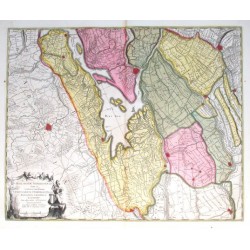
Janssonius van Waesberge, Johannes Hollandiae Meridionalis Pars II. continens...Bestell-Nr .: 01331
Südostholland. "Hollandiae Meridionalis Pars II. continens novissimam Insularum Dordracensis, Alblasser, Crimper et Clundert". Altkol. Kupf.-Kte. bei Janssonius-Waesberge, M. Pitt u. S. Swart, um 1680. 45:55 cm.
6 800,00 KčZu verkaufen -
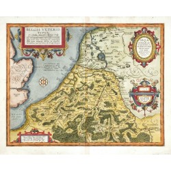
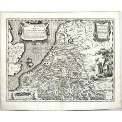
Ortelius, Abraham Belgii veteris typusBestell-Nr .: 01316
Belgien. "Belgii Veteris Typus". Orig. copper-engraving, A. Ortelius, 1594. Orig. old colouring. With 4 ornamental cartouches. 38:48,5 cm.
12 500,00 KčZu verkaufen -
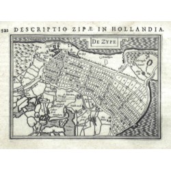
Bertius, Petrus De ZypeBestell-Nr .: 01053
Zijpe. "De Zype". Original copperplate engraving after P. Bertius' map, published by J. Hondius, 1616-1618. With ornamental title-cartouche. 9:13 cm.
1 800,00 KčZu verkaufen -
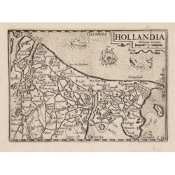
HollandiaBestell-Nr .: 01050
"Hollandia". Orig. Kupf-Kte aus Caert Thresoor, 1598. Mit Titelkart. und Milliaria Germanica. 9x12.5 cm.
2 300,00 KčZu verkaufen -
Seutter, Matthäus Brüssel - Bruxeliae Belgii cathol....Bestell-Nr .: 00668
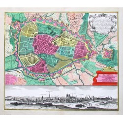
Brüssel. "Bruxeliae Belgii cathol. ornamentum et ducatus Brabantiae metropolis". Altkol. Plan, darunter unkol. Gesamtansicht (12:56 cm). Kupf. von M. Seutter, (um 1740). Mit 2 ornament. Kart. (davon eine Ausgem.). 49,5:56 cm.
32 000,00 KčZu verkaufen -
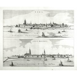
Blaeu, Joan Tyel. Salt-BoemelBestell-Nr .: 00662
Tiel - Zaltbommel. "Tyel. Salt-Boemel". Orig. Kupferstich, J. Blaeu, Amsterdam, 1649. Mit gest. Titeln und Schiffen im Vordergrund. 42,5:43,5 cm.
6 800,00 KčZu verkaufen -
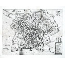
Blaeu, Joan ZutphenBestell-Nr .: 00659
Zutphen. "Zutphen". Orig. Kupfupferstich aus dem Städtebuch von J. Blaeu, 1649. Mit 2 ornament. u. herald. Kart., Wappen, reicher Schiffsstaffage u. Legende. 39:51 cm.
8 500,00 KčZu verkaufen -
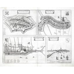
Blaeu, Joan Slooten - Ylst - Worcum - HinloopenBestell-Nr .: 00656
Friesland (Niederlande). "Slooten. Ylst. Worcum. Hinloopen". Orig. Kupferstich, J. Blaeu, Theatrum Urbium Belgicae Regiae (Städtebuch), 1649. 4 Stadtansichten aus eine Platte gedruckt. 40:51 cm.
6 800,00 KčZu verkaufen -
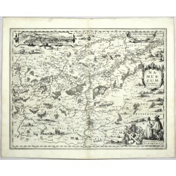
Blaeu, Willem Janszoon (Autor) Surhon, Jean (Andere Autoren) Namurcum ComitatusBestell-Nr .: 00546
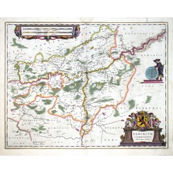
Namur. "Namurcum Comitatus". Orig. copper-engraving, W. Blaeu, 1640 after J. Surhon's map of the region. Orig. old colouring. With great figure title cartouche with a coat of arms and a cartouche with the scale of map. 41,5:53 cm.
4 200,00 KčZu verkaufen -
Wit, Frederik de BrugeBestell-Nr .: 00338
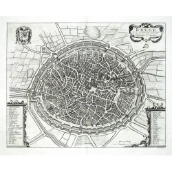
Brügge. "Bruge. Een der vornaamste Steeden van Vlandren". Orig. copperplate engraving. F. de Wit. Published by Van der Kloot in the Hague, 1729 in 'Histoire militaire du prince Eugène de Savoie'. With ornamental title-cartouche. 40:50,5 cm.
6 500,00 KčZu verkaufen -
Keere, Pieter van den (Petrus Kaerius) MechliniaBestell-Nr .: 00226
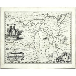
Mechelen. "Mechlinia". Orig. Kupferstich Karte, P. van den Keere, Amsterdem, 1617. Mit Titelkart mit einem Trachtenpaar. 37,5:48,5 cm.
10 800,00 KčZu verkaufen -
Keere, Pieter van den (Petrus Kaerius) (Autor) Surhon, Jean (Andere Autoren) Namurcum ComitatusBestell-Nr .: 00225
Namur. "Namurcum Comitatus". Orig. Kupferstich nach J. Surhons Karte. P. van den Keere, Amsterdem, 1617. Mit dekorative Titelkart. 38:49,5 cm.
9 000,00 KčZu verkaufen -
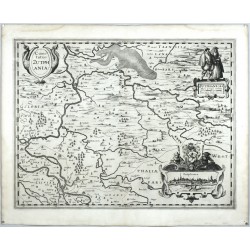
Keere, Pieter van den (Petrus Kaerius) Comitatus ZutphaniaBestell-Nr .: 00223
Zutphen. "Comitatus Zutphania". Orig. Kupferstich Karte, P. van den Keere, Amsterdem, 1617. Mit dekorative Titelkart. 37,5:49 cm.
7 500,00 KčZu verkaufen -
Keere, Pieter van den (Petrus Kaerius) (Autor) Ortelius, Abraham (Andere Autoren) Belgii Veteris TypusBestell-Nr .: 00222
Benelux. "Belgii Veteris Typus". Orig. Kupferstich Karte nach A. Ortelius. Von und bei P. van den Keere, Amsterdam, 1617. Mit gr. ornament. Titelkart. 37,5:49 cm.
8 000,00 KčZu verkaufen -
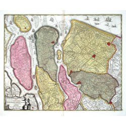
Schenk, Peter & Valck, Gerard Hollandiae meridionalis pars I. continens...Bestell-Nr .: 00205
Südholland (Zuid-Holland). "Hollandiae meridionalis pars I. continens novissimam Delflandiae, Schielandiae ... descriptionem". Altkol. Kupferstich Karte, P. Schenk und G. Valck, Amsterdam, um 1690. Mit fig. Titelkart. 45:54,5 cm.
9 000,00 KčZu verkaufen -
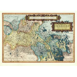
Mercator, Gerardus Leodiensis Dioecesis typusBestell-Nr .: 00193
Lüttich. "Leodiensis Dioecesis typus". Kol. Kupf.-Kte. aus Meracators 'Atlas'. Bei J. Hondius, Amsterdam, 1630. Gestochen von B. van Doetecum. Mit 2 ausgem. Rollwerkskart. 33,5:48,5 cm.
4 800,00 KčZu verkaufen -
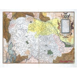
Ortelius, Abraham Brabantiae, provinciae descriptioBestell-Nr .: 00190
Brabant. "Brabantiae, Germaniae Inferioris nobilissimae provinciae descriptio". Altkol. Kupf.-Kte nach J. van Deventer aus A. Ortelius, 1570. Mit ausgem Rollwerkskart. 36,5:50 cm.
7 500,00 KčZu verkaufen

